Trail Overview
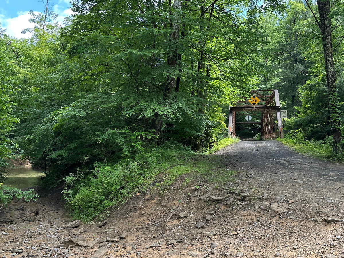
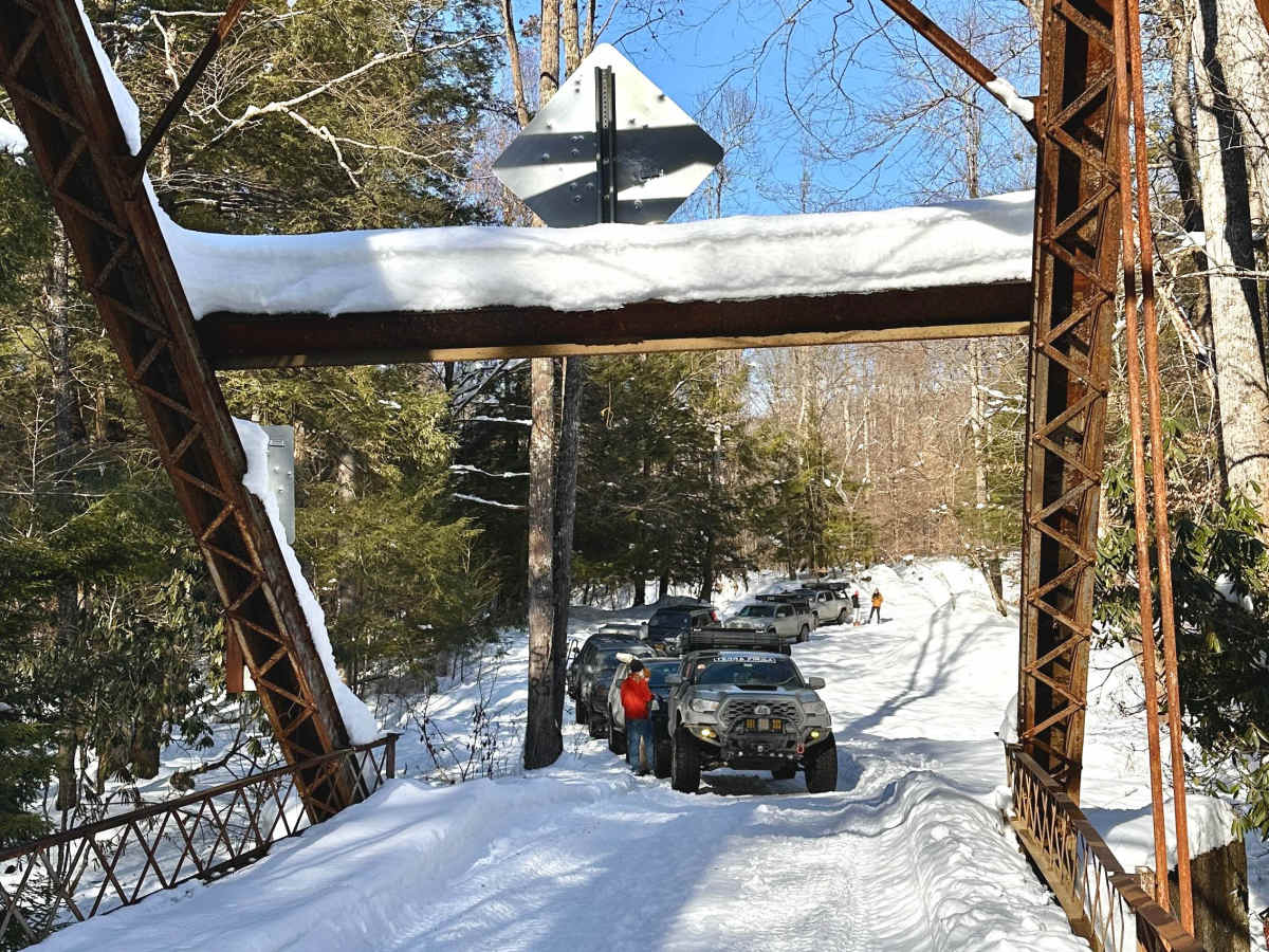
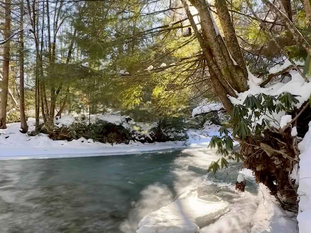
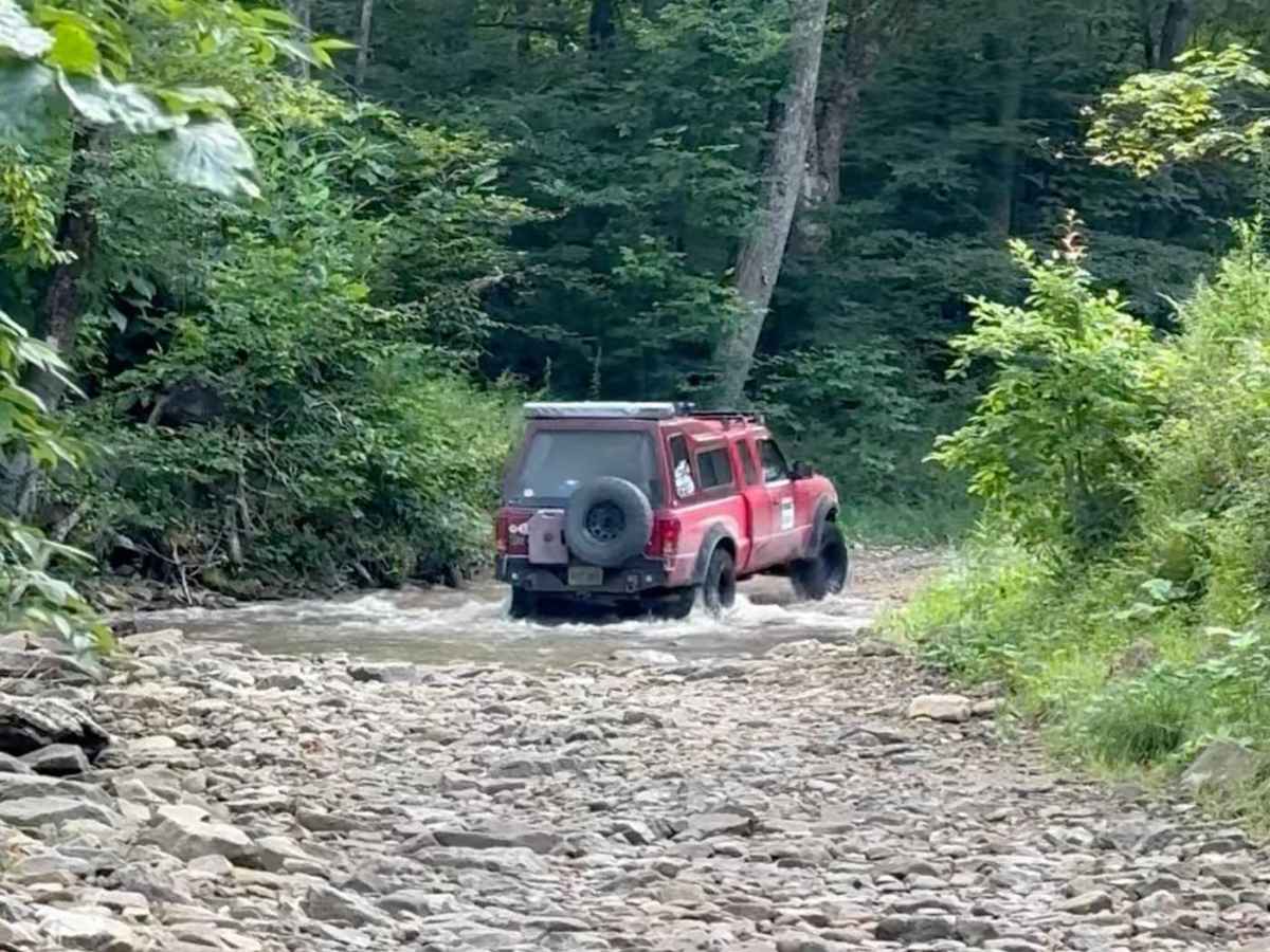
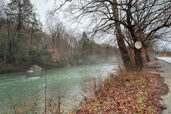
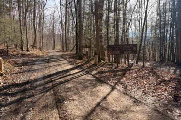
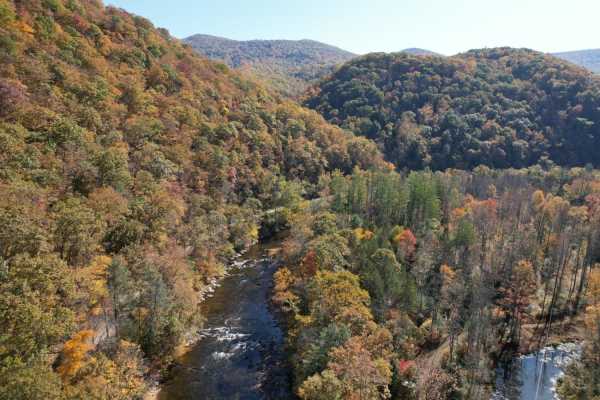
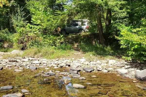
This trail can be run in either direction, but this description starts from the north end at the following coordinates: 38.91771, -80.08878. There’s Civil War battle history regarding the bridge that crossed the Middle Fork River in 1861. Please note that this track combines several country roads adjacent to private property and runs parallel to its namesake, Long Run (creek). You will cross the creek many times—please go slow when crossing, stay on the road, and be aware of signage. Rated as a level 3 difficulty only due to the potential for high water. 4WD is recommended, but lifted AWD vehicles may be ok. There is no cell service; be prepared and download offline maps. You may encounter SxSs and ATVs along the trail. At first, the road is broken pavement, but it quickly changes to hard pack, then becomes rocky and rough a few miles in. Immediately after turning onto Long Run Road (County Road 20), there’s a flat gravel area to air down (coordinates, 38.91639, -80.08861). Google Maps misspells it as Lang Run. At 5 miles, you’ll come to a bridge (38.87033, -80.08459). It’s highly recommended that you stop here and enjoy. There’s plenty of room for a group to park here, and there’s a path leading down to the Middle Fork River on the left—you can wade into the water here. Please use the bridge and DO NOT cross the river in your vehicles. At 5.5 miles, you’ll drop into an old creek bed for a hundred yards or so. Be prepared for up to 18 inches of water if it’s been raining hard, and in the winter, it may be icy. When the creek is low, this section of the trail may even be completely dry (see photos). The trail crosses the creek several more times. At 7 miles, the trail comes to a “T” intersection with Cassidy Road (County Road 35), turn left, then after about a half mile turn right onto Left Fork Long Run (County Road 36). The old County Road 36 goes straight, but it’s overgrown, so follow the trail down to the right, crossing Long Run again. This section is a little tighter in spots, but is beautiful in the spring, summer, and fall with natural springs crossing the trail and lots of wild flowers.
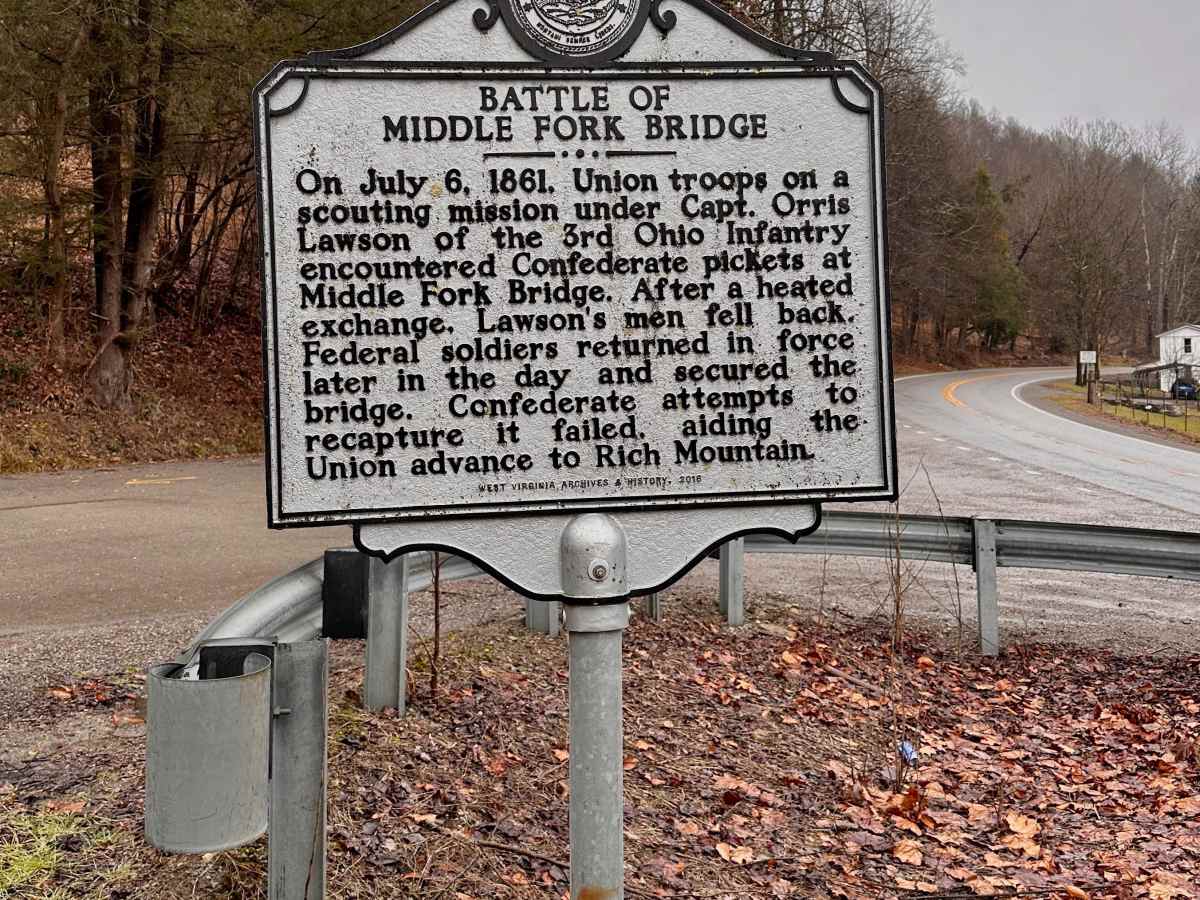
History
Civil War history: "The battle of Middle Fork Bridge"