Hybrid Maps
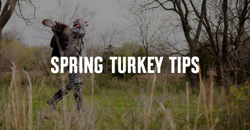
How To Find Turkeys
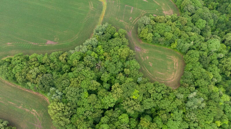
Learn how to scout for turkeys by identifying key habitat, roost areas, and travel routes on a map. Use onX Hunt to find more spring turkeys on public land.
onX Hunt’s Hybrid Basemap combines satellite imagery with contour lines to help gauge elevation change.
Hybrid Maps
Learn how to scout for turkeys by identifying key habitat, roost areas, and travel routes on a map. Use onX Hunt to find more spring turkeys on public land.
Hybrid Maps
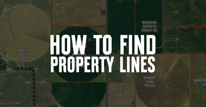
Curious how to find property lines? Learn how property lines are determined and how to use the Hunt App to see boundaries.
Hybrid Maps
Learn more about using GPS without data and the onX Hunt App to go offline while hunting.

Hybrid Maps
Find out what onX Hunt App features are currently available for Canada. Learn more.
Hybrid Maps
Josh Kirchner walks onX Hunt users through e-scouting for spring black bears.
Hybrid Maps
We caught up with some of the best whitetail hunters we know to get the straight scoop on strategies for mobile hang and hunts.

Hybrid Maps
Reading a topo map for hunting may not be as easy as looking at aerial imagery. With this tutorial, you’ll understand your landscapes like never before.
Hybrid Maps
Learn how to use onX Hunt’s extensive layers and tools to identify and scout training ground for your retriever, upland dog, or versatile breed.
Hybrid Maps
The best hunting aerial maps provide a clear bird’s eye view of the terrain ahead so you can refine your strategy before and during your hunt. Learn about onX Hunt’s Basemaps.
Hybrid Maps
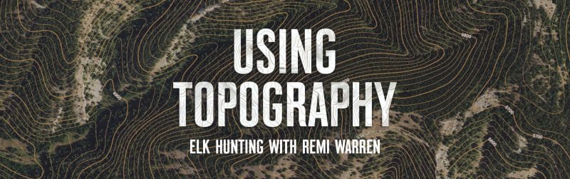
Renowned hunter and adventurer Remi Warren discussed how onX Hunt helps him use topography and landsape to locate bull elk in heavy, dark timber.
Hybrid Maps
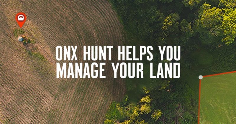
Have new hunting property and looking for ways to set it up for the best hunting experience? Here are five tips for setting up a new property with the onX Hunt App.
Hybrid Maps
We discuss the onX Aerial, Topo, and Hybrid onX Basemaps, and how hunters can use them to scout, plan, hunt, and move in the backcountry.

Hybrid Maps
Learn how to use a GPS for hunting deer, elk, waterfowl, and small game.
Learn
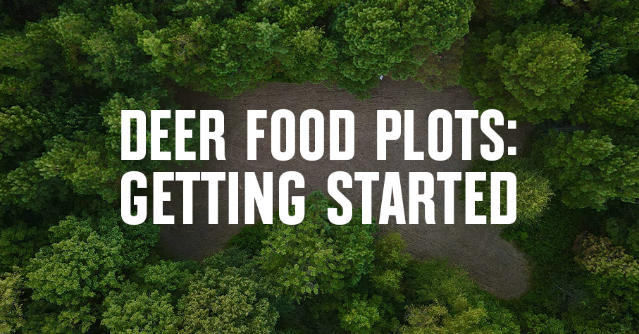
If you’re planning deer food plot projects, read up on food plot design, soil prep, and regional tips on what and when to plant.
Learn
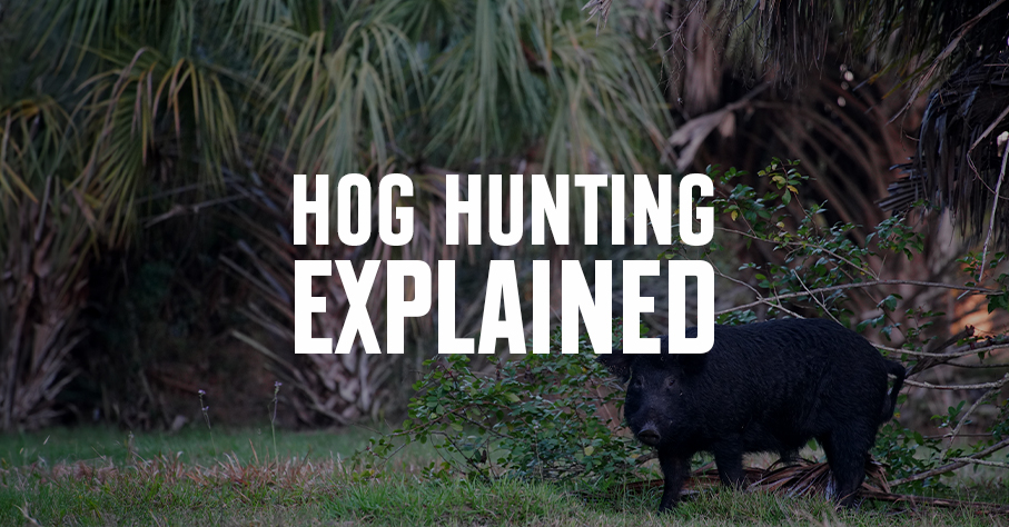
Considering a wild hog hunt? First get to know the species: We explain why they’re here and explore the havoc they cause. Then, we offer tips for hunting feral pigs.
Food & Cooking
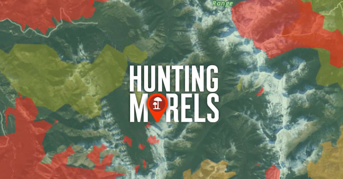
Learn the tools and tricks that expert morel hunters use to find morel mushrooms year after year. Try onX Hunt today. No credit card required.