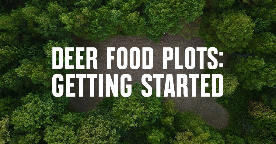
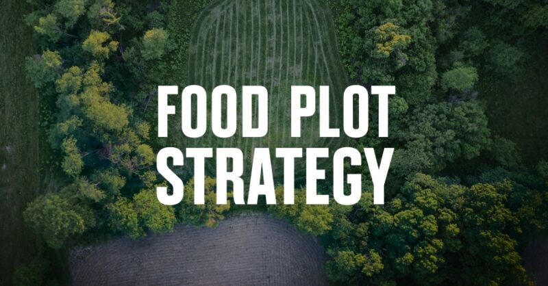
1. Blog
  2. Archive
  3. Mapping Whitetails With The Hunting Public: Episode 3

Mapping Whitetails With The Hunting Public: Episode 3

Time for boots on the ground.

The guys from The Hunting Public get out of the office for boots on the ground scouting. Watch as they investigate each spot they found using the onX system in person and why the tandem of E-Scouting and in-person scouting is imperative.

Scout now, succeed later
Download the onX Hunt App for Free Today and Make Sure You’re Prepared for Your Next Hunt.

Video Transcription:

Okay, everybody. We are out here for the third episode of the Mapping Whitetails series with onX. The last one, Zack and I were at the computer and we were talking about access routes and hunting pressure. Today we’re going to come back in and we’re going to go into these public areas that we looked at on the map and we’re going to check and see if some of our guesses were right. This is one of those spots, if you remember, that little access trail leads into the creek down there. We want to go in there first thing and check and see if that creek is even crossable.

Yeah, I think something like a body of water is just going to deter people from coming in here. It may completely block off one whole side of this piece of public land. Just got to go get our boots on the ground and go check it out.

This road that we’re walking on right now to get down here to the creek is one of them we were talking about on the last episode. We couldn’t really tell from the map if this thing was even drivable. There’s actually a gate up back there at the car. It’s supposed to keep people out of here, and it looks like there hasn’t been too many folks driving back in here. I’m assuming the DNR is what’s been using this road. We’re already coming up on a cornfield and we’re still several hundred yards away from that river crossing.

It doesn’t look like there’s any vehicle access allowed right here, so that’s definitely a plus. It’s actually right up here in the inside of this field.

Here’s the creek. It’s kind of sweet down there, actually. But definitely crossable. Here’s something that we didn’t know from the map, is that this was so steep. Pretty sure I can see boot tracks in the sand down there, though. Made it.

We made it down here to the creek, and this isn’t exactly what we were hoping for from a hunting perspective, but that’s why we preach coming out here and checking all these spots out. Zack and I picked four or five different locations on the last episode. Like I mentioned, today we’re just coming in here and just trying to eliminate spots that are easy to access, and this is definitely one of them. We were kind of hoping this creek would be deep and hard to cross where we had to use waders or something, but obviously it’s not difficult and the people are here. I mean, there’s boot tracks all over the place down here along the edge of this thing.

What’d you find? A barefoot track over there a minute ago?

Yeah, there’s like a little kid’s barefoot track from playing in the creek, so there’s all kinds of different people down here.

Yeah, and we found a bunch of empty shotgun shells on the way in, empty cans and stuff, which isn’t a surprise given it’s fairly close to the road. We were just hoping this creek was gonna deter some access, but …

We’re talking about an area in this situation, too, that we’re not gonna hunt a whole bunch. This would be an area that … We’re looking at it from the perspective I guess of hunting it for a short period of time. If we lived here and this was closer, right out our back door, we could keep an eye on this creek, and if the levels really go up and it changes the access, then this might be an area that we start targeting on.

Yeah, you need to check every creek like this, because from a map, you just, you have no idea whether it’s rock bottom or if it’s mud bottom. If this is mud and sand and it’s two feet deep, it’s still probably gonna be kind of difficult to cross in spots, but with all these little rock bars and riffles and stuff, it makes it very easy to get from one side to the other when the river’s at its average level right now.

Sometimes when you’re looking at an aerial photo, too, you’re looking at an image of the river when it’s at its highest point. Some times-

Yeah, it just depends when that photo was taken.

Right. If the photo is taken now, you may be able to tell hey, we’re probably gonna be able to cross this creek. But if the photo was taken in early spring when the water levels are way up, it’s gonna be a totally different thing.

Gotta check ’em.

Definitely get out and check ’em. It’s gonna make a big difference later on.

Leave the woods better than you found it.

We safe over here?

We are. Might’ve picked one of the more heavily pressured areas.

We use that road to make our way all the way around this center chunk to get up here on top. And you can tell this is a full-blown tractor path. There’s a tractor down there in that bottom right now. I’m sure that he’s bringing round bales out of there, ’cause he’s got able forks on the front of it. This is gonna lead to very easy access on this piece, and that’s kind of what we anticipated when we were looking at the map on the last episode. Just driving around here this morning and actually getting out eyeballs on the place, looks like that there’s tons of access opportunities for people to come in here. It’s not very hard to get to 90% of this whole center chunk.

I think the other thing, too, once you’re here, you can actually see what the access is like outside of the access points. If you’re able in your state to park on the road and go into a piece of public land, it’s important to look at that as well. If the woods is really thick, hard to get through, maybe it’s wet. Or like we looked at earlier, a creek. Anything that’s gonna deter people, that’s gonna be important. But with this piece, it’s just pretty accessible all the way around it, at least what we’ve seen so far, which is most of this piece.

Yeah, and what we discussed last time was that we were kind of looking at this pond there along that landlocked fence line, and a lot of that thick cover down in the southwest corner. But that’s a seven, eight hundred acre chunk of land right here with road surrounding it and pretty much access on three sides.

By coming out here this morning, before we’ve even really pushed into the center of this particular property, we’ve eliminated 90% of it. There’s one little back corner that I would say interests us, wouldn’t you agree?

Yeah, I would say that if there was gonna be a place in this piece that we would go directly towards, it’s that one. That’s without knowing any of the pressure that’s actually here during hunting season. Granted, it’s really easy to access, but if nobody’s here hunting, maybe closer to the road is better. But again, we’re talking about a limited time schedule. We’re not talking about hunting a whole season. When you’ve got limited time, it’s nice to narrow these areas down so that way you can go to what you would expect is the best spot.

We’re gonna mark that. That’s definitely an area of interest. And we’re gonna head down the road to the lake now and check out some of that.

Oh, nice. I like this. We thought all along while we were doing our map scouting that this was a bridge. Apparently, the bridge is out.

[inaudible 00:06:56] There’s a whitetail animal.

Right there.

Stay quiet.

See it, Craig? There’s a little buck right there in front of him. Oh, here she comes.

[inaudible 00:07:07]

There’s our bridge that’s no longer a bridge.

Interesting.

Down there, you’ve got an old telephone wire. You don’t know what [inaudible 00:07:17].

That’s a duck potato.

That is right there, yes. I don’t see any parking access to go that direction other than just this dead end road here. Bunch of cattails and nasty marsh type cover, right past all those lily pads. We marked off a bunch of these areas, excluded them off the map when we were doing our scouting. And now that we’re here, we’ve actually realized that this is just a dead end road. This is not actually a bridge. From the map, it looks like one. You can walk across it. It looks like there’s been a few people down here, but it’s rained since somebody’s been down this far.

There’s no actual parking area or anything like that in here. I mean, the end of the road just looks like another driveway where it splits off up there. That’s why you gotta come out here and you gotta look at this stuff, because our initial guess was definitely wrong on this area. We figured that there would be tons of parking access, boat ramp access right here. There’s no boat ramp of any sort. There’s no real parking access other than just off the side of this minimum maintenance road, and it’s really thick. The very thin strip of land that you do have off the edge of the lake that’s public is very, very thick and probably hard to get through. So, kayak access right here where we just put in right off the side of this road would probably be best.

I think people are still gonna park here. Obviously this is still public access, but it’s not like your traditional parking lot or pull in like we were at earlier where there’s a pull in and then there’s a path leading into the public here. It’s just a dead end road and there’s no paths going into the piece of actual public land. So, it’s just a less likely place for people to just park and walk in.

We saw a lot of people sign over at that other location, too, and initially there’s not a ton right here. There’s probably some people that are coming out here parking and fishing. Very few, I would anticipate, are getting out walking back up that road and then going way up in there in the public. The strip there of land is not very wide, but when we looked at the map, it looked really, really thick, and it is. It’s super thick.

That’s just another thing. A lot of people probably aren’t parking here and going north, and to the north is one of the areas that we like, we just figured if this was a through road, that people would be parking here way more often. Right as we were coming in, there’s deer on the road. There’s grass growing in the middle of the road, and right when we see something like that, it’s definitely catching our interest way more than your traditional pull in or parking lot, or whatever’s standard for the piece of public land that you’re on.

Yeah, even if people are hunting in here, the traffic through here, period, like the vehicle traffic is nothing anywhere close to what we anticipated, because there’s no bridge. We thought that was gonna be a bridge and with legit boat ramps and parking areas and everything and it is nothing like that. There’s no actual boat ramp here. If you’re gonna access into this water, you’re just gonna have to portage in your canoe or your kayak in and go from there.

Do you guys remember when I said I hit that bird?

That’s not good.

Dang it.

Whoops. Dude. That’s sad.

Now Ted, don’t you go in that water without your life jacket.

Be careful, Ted.

This says it’s the park, but I don’t know if it’s public or not. Well, that old boy I guess, he’s got a boat in there. Made it. Let’s have a quick gander, shall we?

We’re at our last spot of the day here. This is that little parking area.

That’s actually one of the first areas that caught our eye when we were looking at the map, just because it’s kind of an off-the-wall piece. It’s not one of those main accesses like we were talking about a little bit ago.

Yeah, and there is a gate down there. There’s obviously been some people pulling into it, but the gate is locked and you can’t drive any further than this point, and it’s real thick back up in there. It’s got potential for some decent hunting on the back side of that big cove down through that bottom.

Feel like now that we’ve driven around it and we’ve got familiar with a lot of these access points, we can start to make some better judgments on where the lowest amount of hunting pressure’s gonna occur.

I think just getting a perspective of how big the piece is, you can measure stuff on a map but until you’re really there, it’s hard to tell a lot about it.

Yeah. I mean, in some of our guesses, as y’all have seen in this video, have been correct. Some of them have not been. And that’s exactly what we were saying when we were doing the scouting back on the computer in episode two. This is why it’s so important to get out here and start scouting access this time of year, well before hunting season starts. Familiarize yourself with these areas, the roads in and out of them, because if you come in here in the dark, for example, in early November in the rut having never been here before, you’re gonna be fighting an uphill battle trying to find a good place to hunt. You gotta learn as much as you can about these areas and this is one of the first steps in making good decisions as we get closer to deer season.

So, we’re gonna head back to the house, get back on the computer, start to get into more detail about how we pick the areas of focus when it comes to hunting and scouting. In the fifth video, we’ll come back out here again and we’ll do some boots on the ground scouting, actually find some potential tree stand locations to kind of tie a bow around everything. As you can tell, we’ve been on our phones this entire time using the onX app. If y’all want to check it out, you can save 20%. Just go to onXMaps.com and use our promo code. It’s THP in all caps. It’ll save you 20% off all their app products. We use them all the time, just like we did today.

Next time we’ll be on the maps trying to pick some spots to go hunting.

Yep.

Written by Cavan Williams