The Fifty Project: Split Couloir
In year five of Cody Townsend’s “The Fifty Project,” we’re showcasing his lines and route descriptions in onX Backcountry. Go deeper on The Fifty Project and get the beta from Cody on how he plans, executes, and accomplishes these 50 descents.
Go Behind The Line with “Mapping The Fifty”
Go Behind The Line with “Mapping The Fifty”
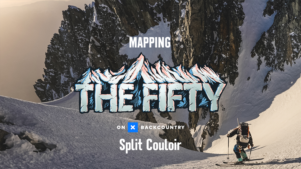
Mapping The Fifty: Split Couloir
The Fifty Project: Split Couloir
View Cody’s Line in onX Backcountry
Below is an interactive map of Cody’s line for The Split Couloir. Use Control + Drag to rotate in 3D on desktop or two fingers to pinch, zoom and rotate on mobile. Login or create an account to gain full functionality.
The Fifty Project Guidebook: Split Couloir
onX Backcountry has partnered with Cody Townsend to bring you guidebook quality descriptions of routes in The Fifty Project from Cody himself. Read his beta on The Split Couloir. Start your free trial of onX Backcountry today to view these lines and descriptions in the App.
Overview
A name that makes sense the moment you see it. Visually stunning, Split Couloir is a perfect cleft dividing a two peaked, 14k foot summit in half. To skiers, the perfect white ribbon slicing between towers of granite looks enticing. But upon further inspection, the line primarily appeals to skiers with climbing and rope skills as the perfect white ribbon is choked off by multiple cliffs, thin rocky sections and an ice fall which either requires high level technical climbing, anchor building and rappelling skills. It’s also a unique dangerous line that has killed extremely skilled ski mountaineers and has been the sight of multiple very close calls from rockfall, avalanches and ice fall. It’s a tempting line but it requires ultimate patience and caution.
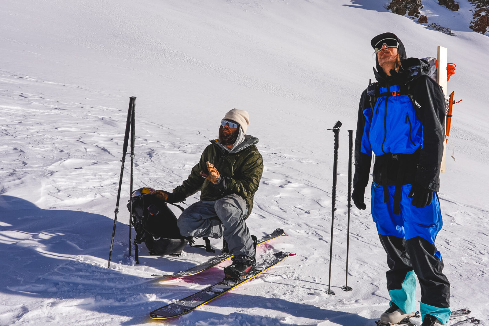
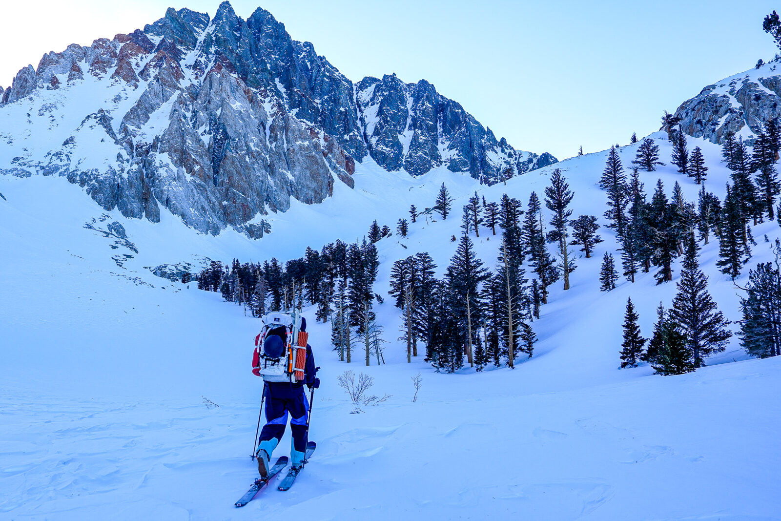
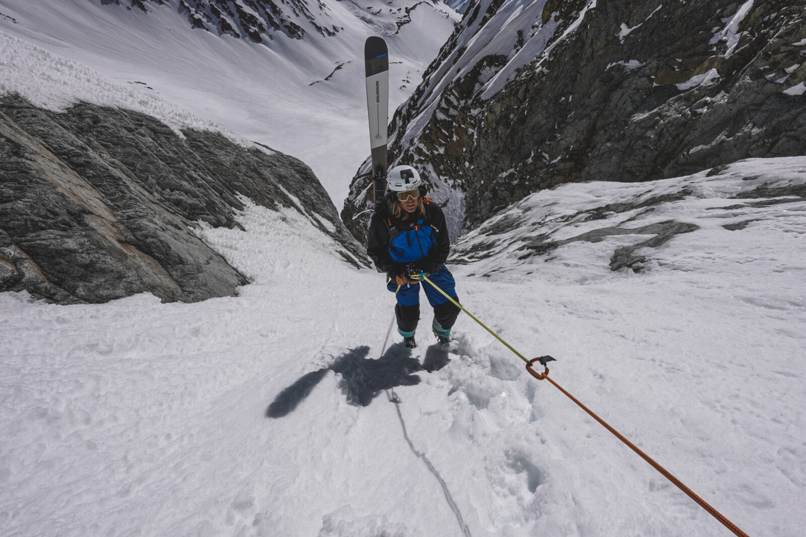
Ascent
The ascent starts in the desert of the Owens Valley amid sage brush and lava flows. Depending on your point of access, an 8k to 9k vert ascent to the summit awaits. Following the creek bed valley of Red Lake Creek, a steep, technical and gullied ascent is difficult and must have avalanche forecasts considered as overhead exposure from the south face of Mt. Tinemaha frequently floods the creek bed with Size 3-4 avalanches. After 5k feet of ascent, you arrive to Red Lake basin and the base of Split Mountain. To summit, one can choose to directly climb the couloir through WI4 or M5-6 Mixed climbing or co around the north side to gain the NE ridge directly to the summit.
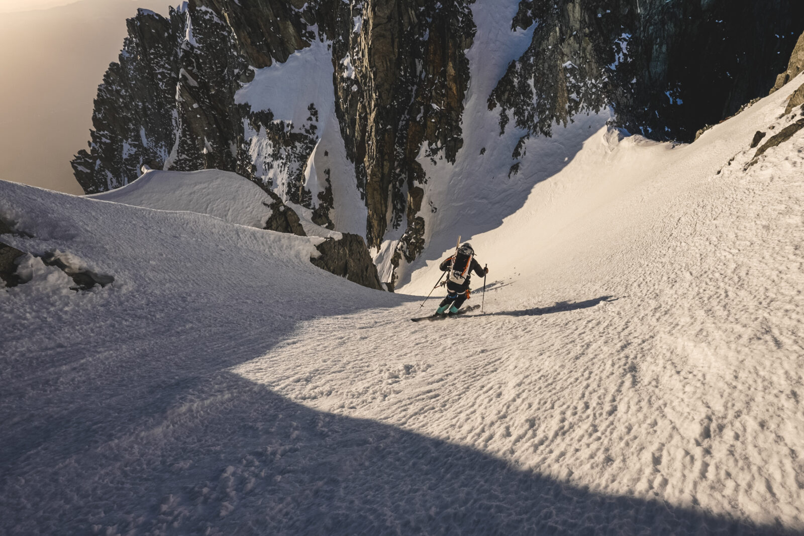
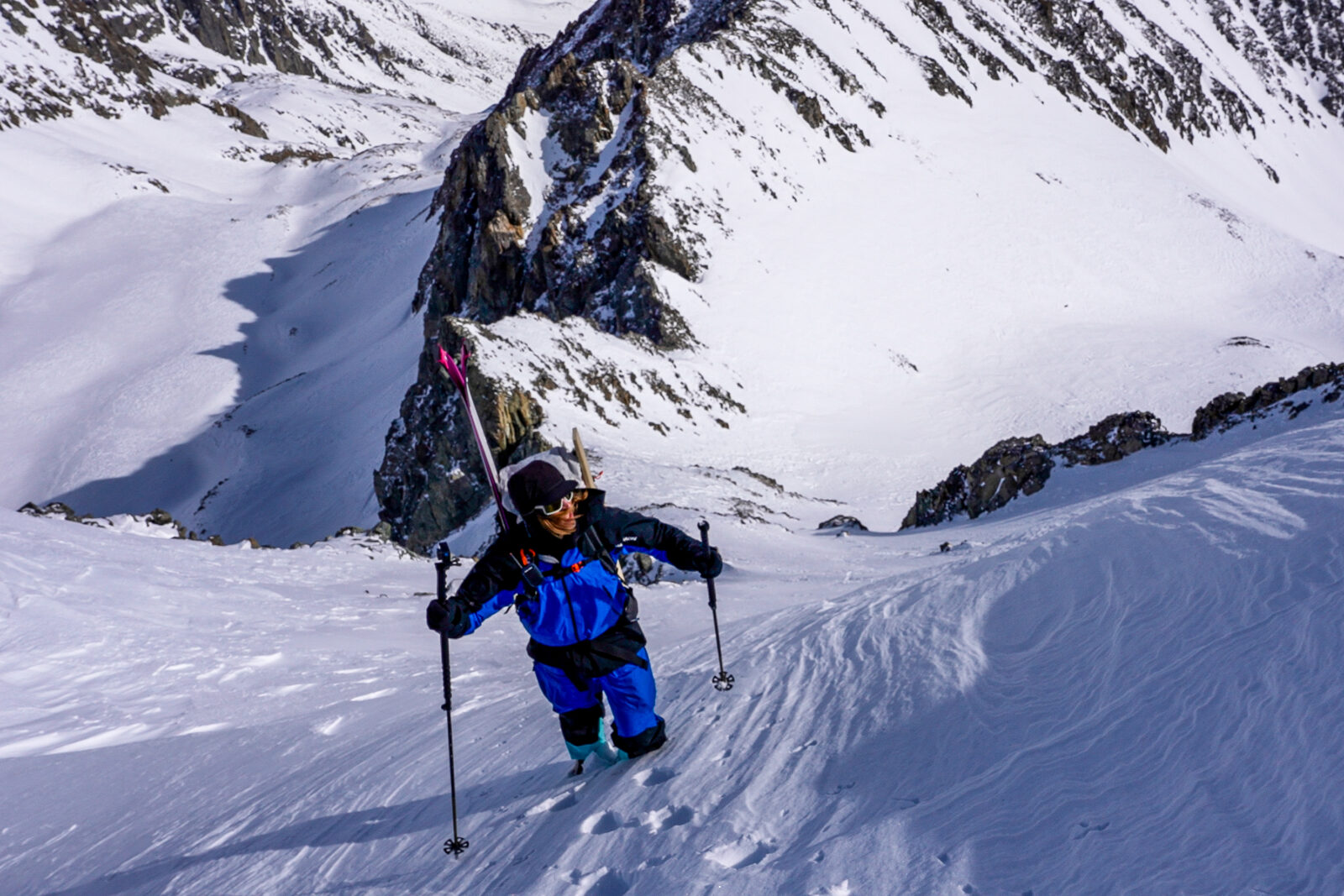
Descent
The descent is not quite as steep as the couloir looks from afar, but is plenty steep enough that any fall would likely result in a fatal fall over the exposure below. The couloir is a magnet for slough, avalanches, rock fall and ice fall and timing your descent is critical to safety. The line gets steeper and steeper as you approach the main ice fall and water ice hidden under a few inches of snow is probable. Caution and a slow approach to reaching the ice fall is absolutely essential
Photo: @the.fifty.project
Hazards
The hazards abound on this line. From traversing under the S Face of Tinemaha to the line itself, Split Couloir has every present extreme hazard in the mountains. Primarily, overhead hazard while in the couloir is the most pertinent hazard. Rockfall, icefall, avalanches, sluff, exposure and blue ice are all present and all much be considered before descent. This line is as serious as it gets when it comes to consequences and one must be prepared to factor in every detail to descend safely. Also only skiable on the largest of snow years in the Sierra
Exit Description
Exit follows your exact ascent. Caution for warm slides in the lower gullies is advised. On low snow years, your walking out the Red Lake Trail
Access Description
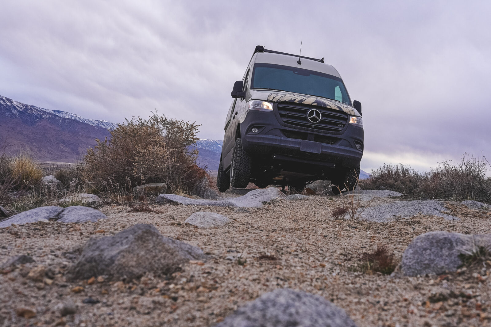
Access to trailhead is extremely difficult because of private land ownership, washed out, unmaintained dirt roads and tricky navigation. A 4wd high clearance vehicle or motorcycle / e-MTB is advised. To access traditional starting point of Red Lake TH, one must drive from the north on McMurray Meadows road, which is an extremely difficult dirt road to navigate. Lifted Jeeps, Broncos or other extremely capable off-road vehicles only. Subarus, Vans, trucks cannot make this newly washed out and unmaintained road. A second access point, from the south, via Aberdeen is an easier road to navigate but puts you a mile away and 1000′ lower than the RedLake Trailhead. The road is rough but doable by most 4wd vehicles.
Try onX Backcountry for free for 7 days.
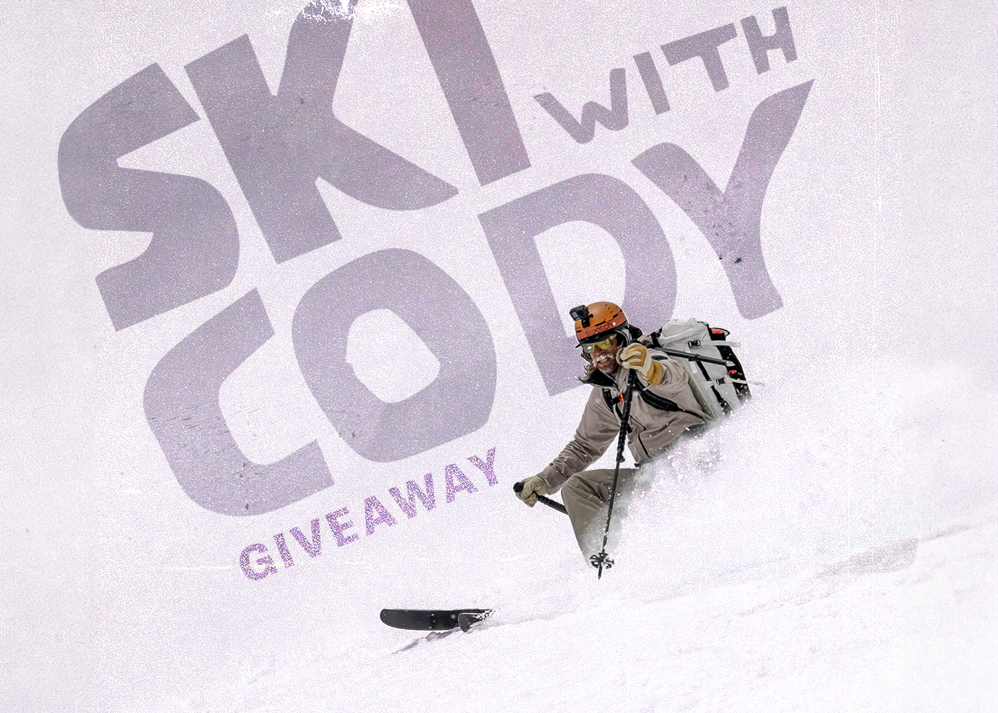
Enter The Ski With Cody Giveaway
Enter to win the ski trip of a lifetime. One lucky winner and three of their friends will win a guided backcountry ski trip with Cody Townsend. But that’s not all, your crew will stay 3 nights at the Gravity Haus Truckee-Tahoe and win some awesome gear from our friends at Salomon, Mammut, and Rocky Talkie. Winners will be drawn on Dec 7, 2023.