Pete de Foure Road
Total Miles
2.3
Technical Rating
Best Time
Spring, Summer, Fall
Trail Type
60" Trail
Accessible By
Trail Overview
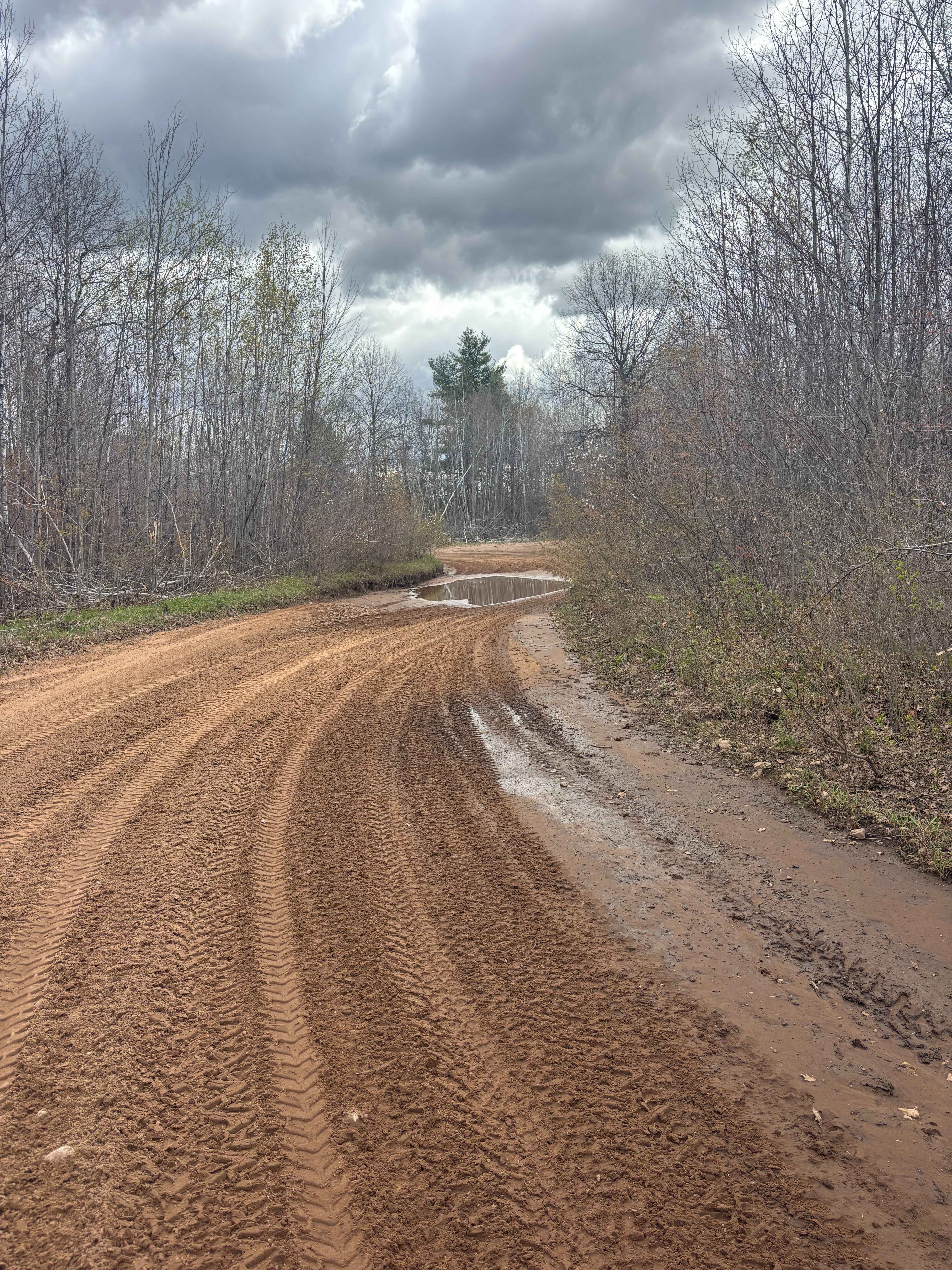
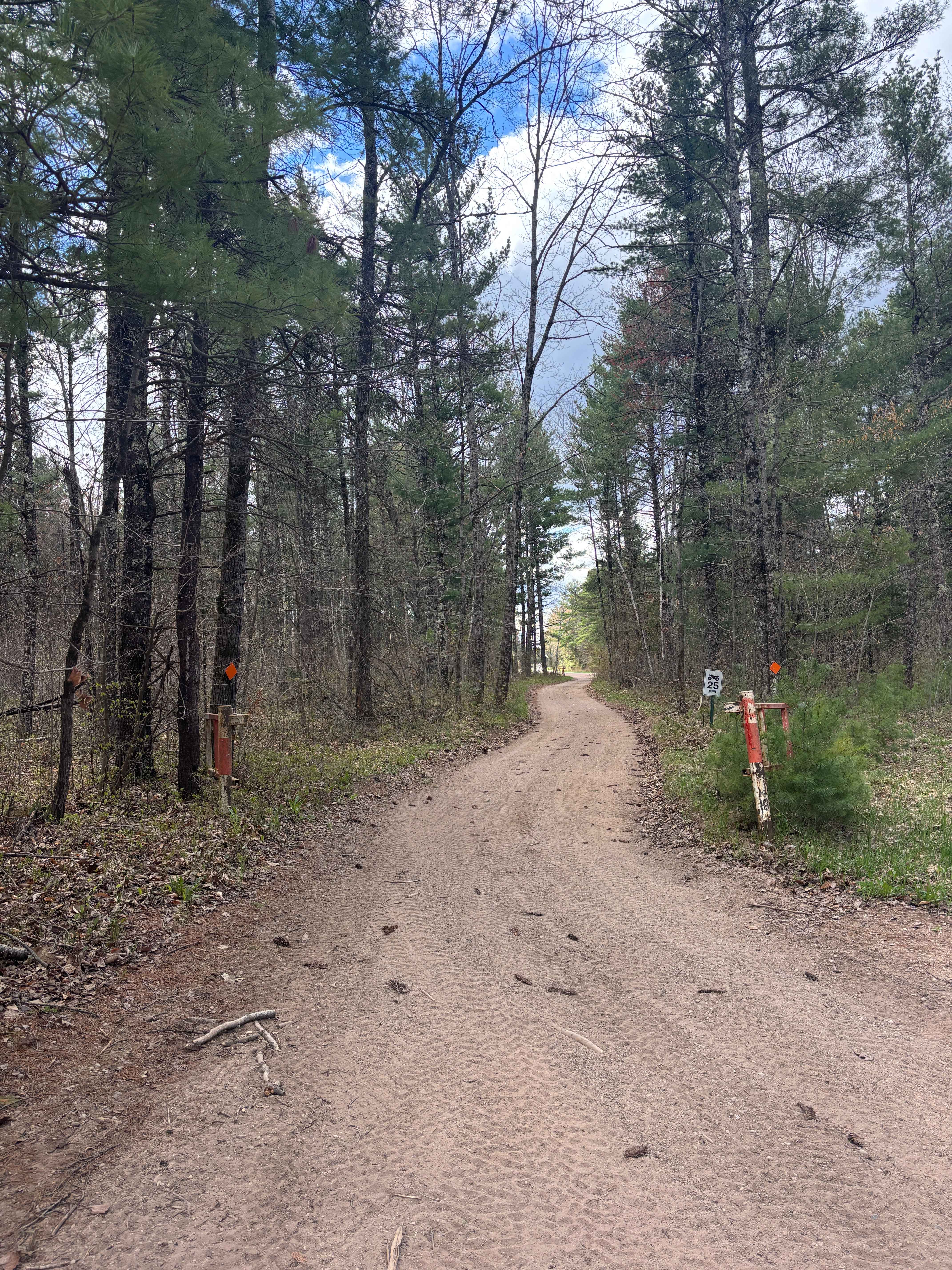
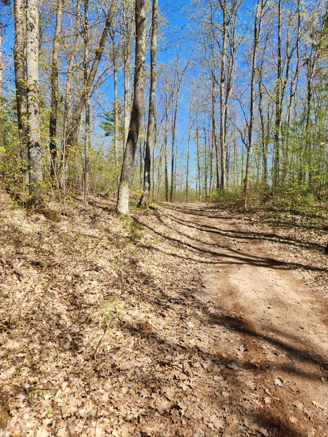
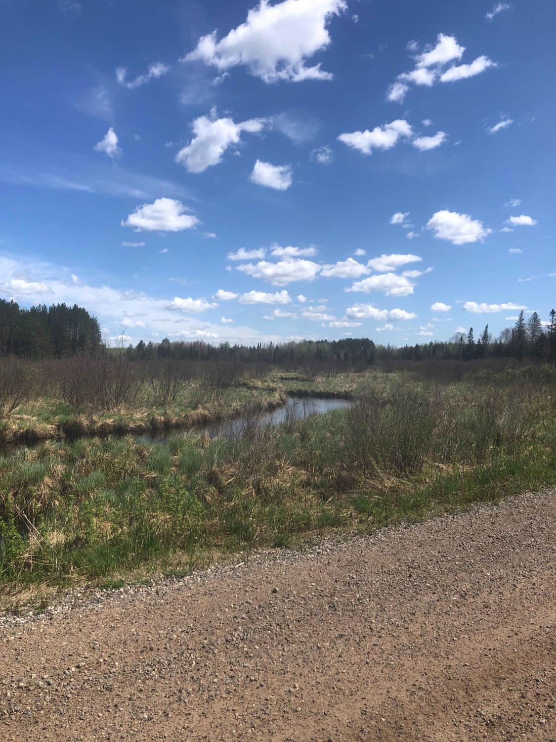
This trail is part of the Oconto County ATV trail system and runs roughly north to south along Pete de Foure Road. On the north end, it ends on Old Highway 64, which you can use to access other trails in the area. The trail is mostly a mix of dirt and sand, with a few blind corners, but it has frequent passing lanes for oncoming traffic.
Photos of Pete de Foure Road
Difficulty
A dirt and sand trail that allows for passing and has a few blind corners.
Status Reports
Pete de Foure Road can be accessed by the following ride types:
- SxS (60")
- ATV (50")
Pete de Foure Road Map
Popular Trails
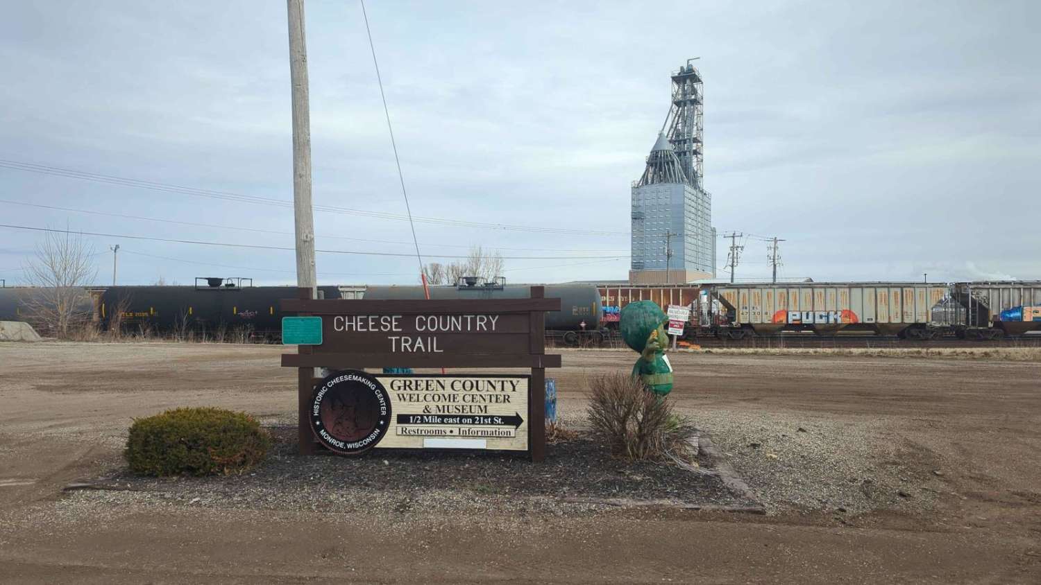
CCRT - Calamine to Mineral Point
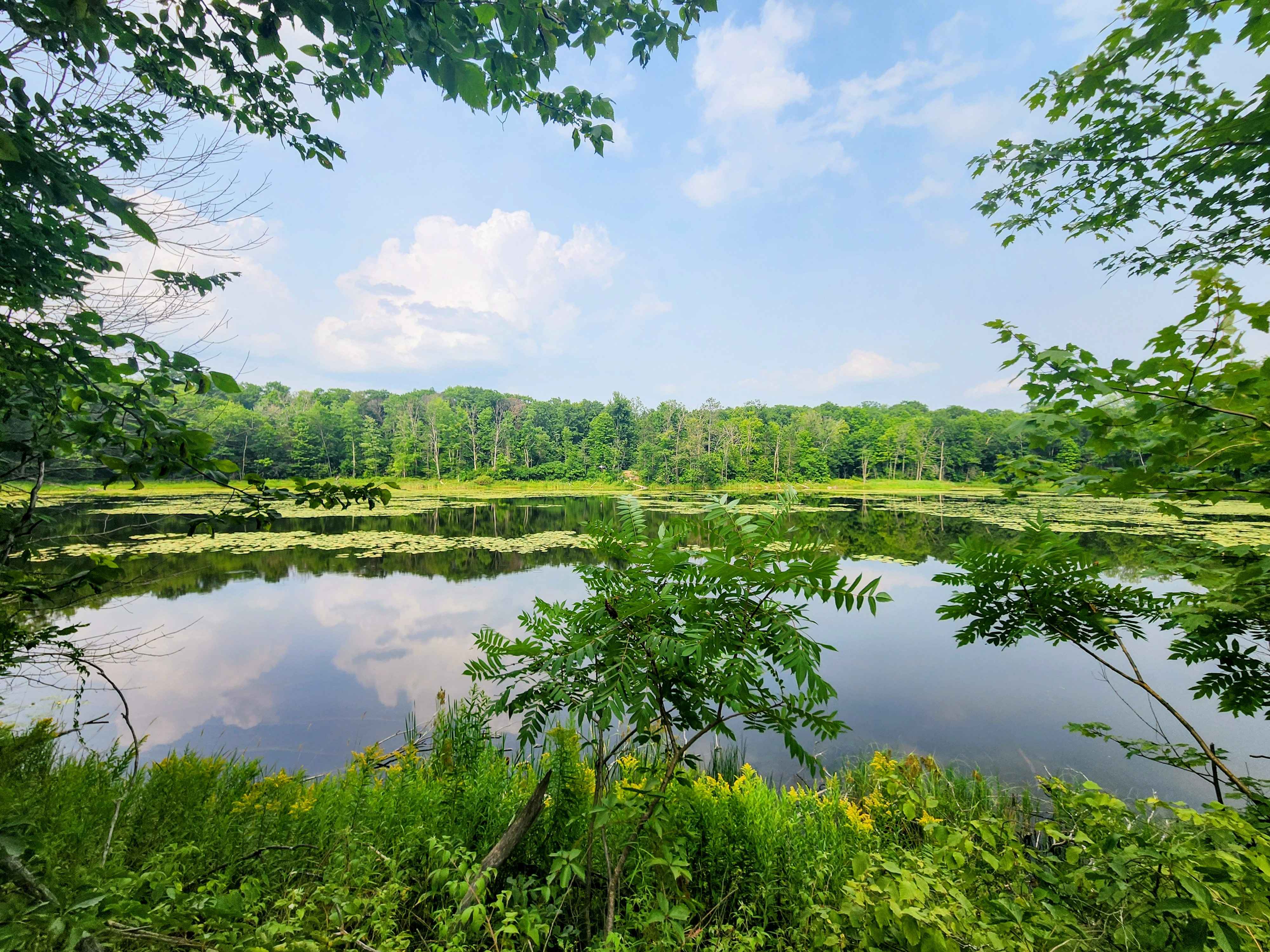
Pratt Junction
The onX Offroad Difference
onX Offroad combines trail photos, descriptions, difficulty ratings, width restrictions, seasonality, and more in a user-friendly interface. Available on all devices, with offline access and full compatibility with CarPlay and Android Auto. Discover what you’re missing today!