Pansy Lane Trail
Total Miles
2.5
Technical Rating
Best Time
Spring, Summer, Fall
Trail Type
60" Trail
Accessible By
Trail Overview
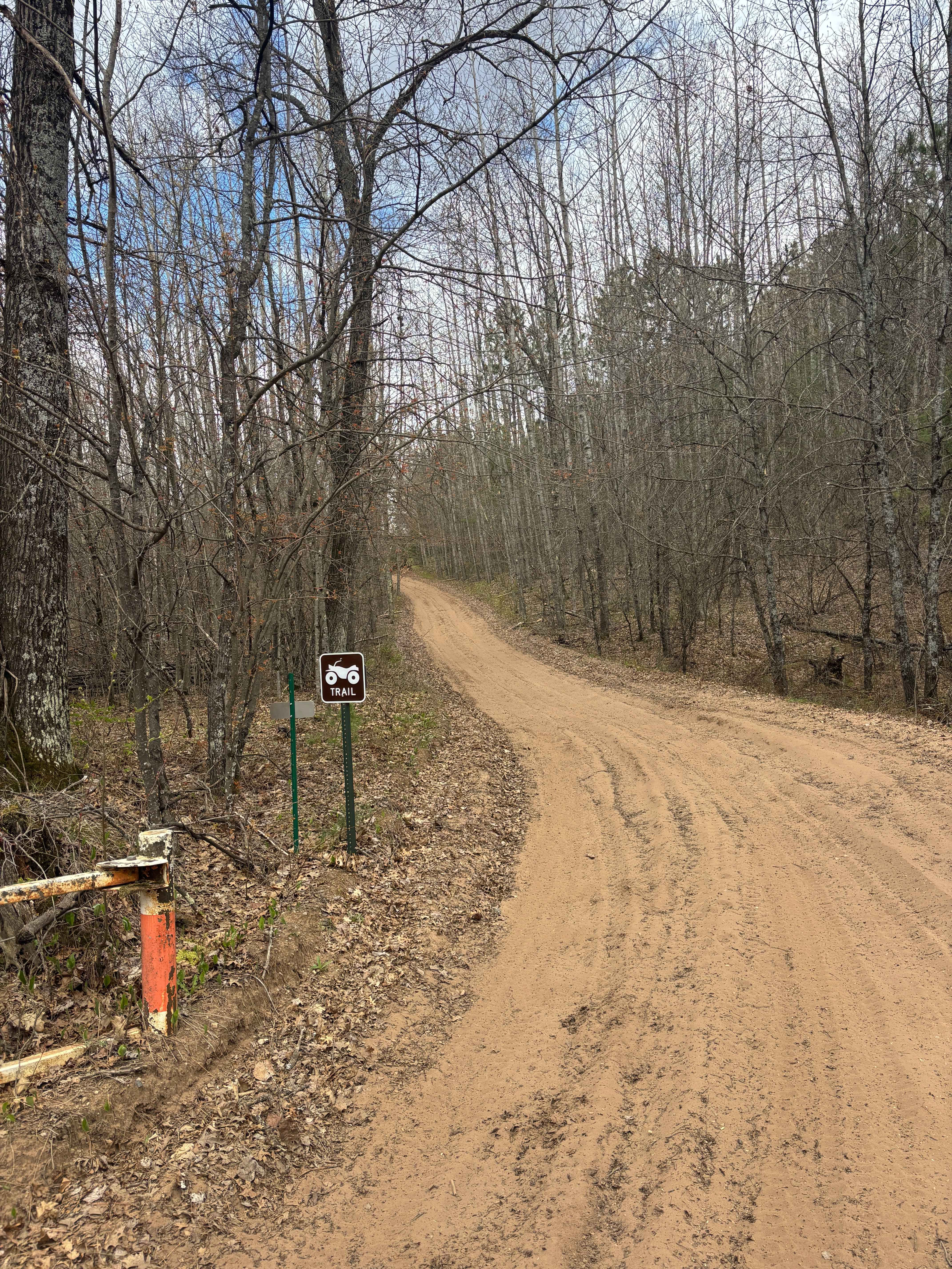
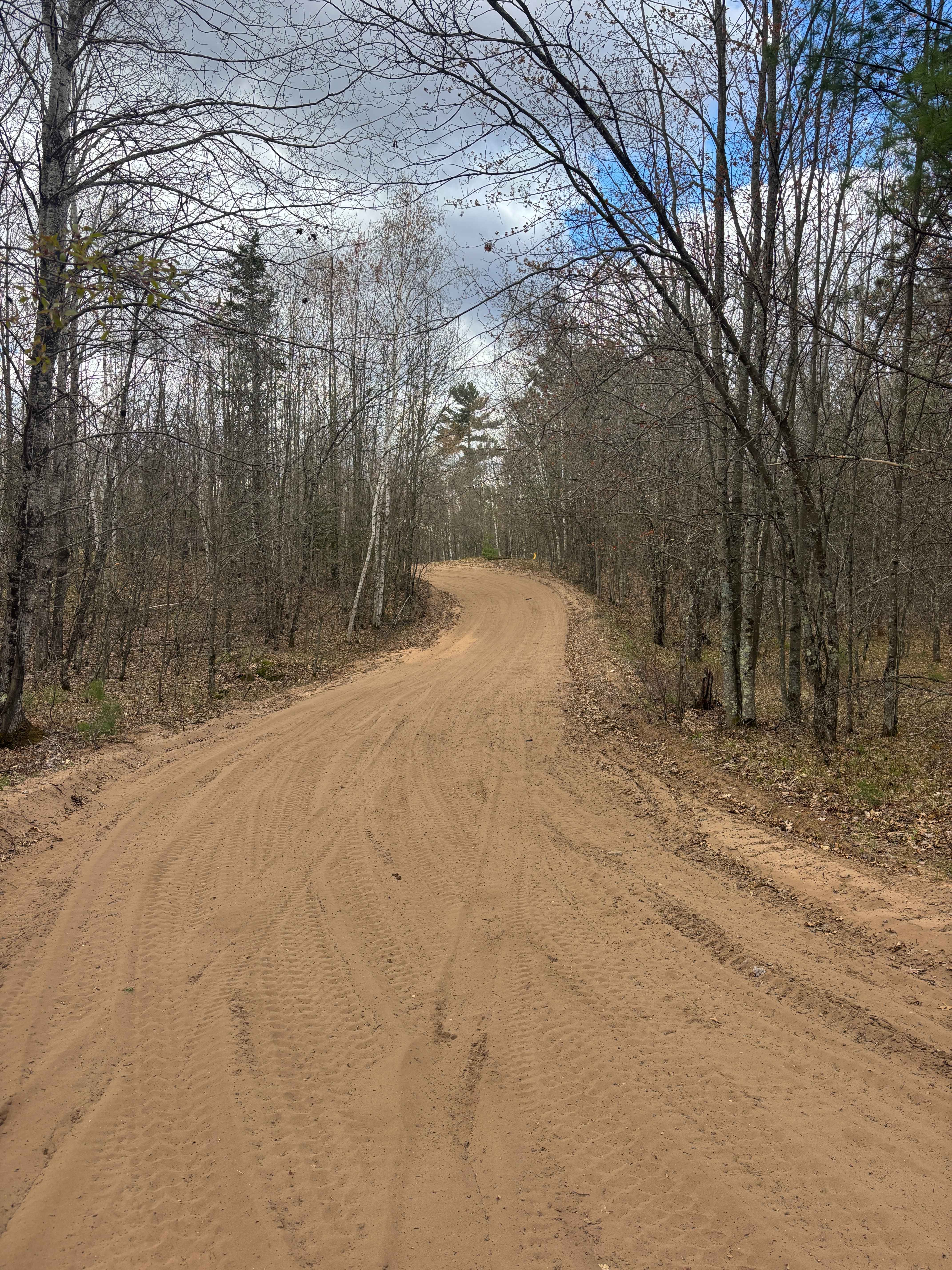
Pansy Lane Trail runs between the Butler Rock loop and contains dirt, sandy hills, a few mud holes, and winding turns that create blind corners and a few gravel sections. Because of the winding turns and sandy hills, passing can become difficult on occasion, but there are generally many places to pass oncoming traffic.
Photos of Pansy Lane Trail
Difficulty
A trail with many blind corners that has mud holes and sandy hills.
Status Reports
Pansy Lane Trail can be accessed by the following ride types:
- SxS (60")
- ATV (50")
Pansy Lane Trail Map
Popular Trails
Jack Pine Camp Road
Trail G Highline Views

Pembine South Loop 16E/W
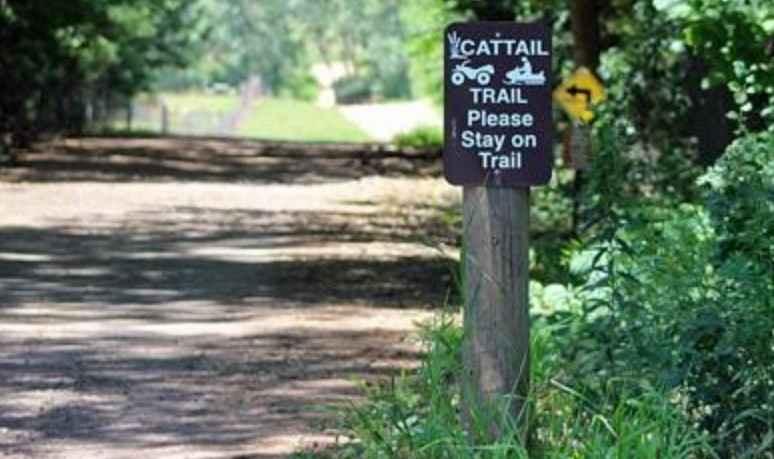
Cattail State Trail: Amery to Turtle Lake
The onX Offroad Difference
onX Offroad combines trail photos, descriptions, difficulty ratings, width restrictions, seasonality, and more in a user-friendly interface. Available on all devices, with offline access and full compatibility with CarPlay and Android Auto. Discover what you’re missing today!