Pembine South Loop 16E/W
Total Miles
9.4
Technical Rating
Best Time
Spring, Fall, Summer
Trail Type
60" Trail
Accessible By
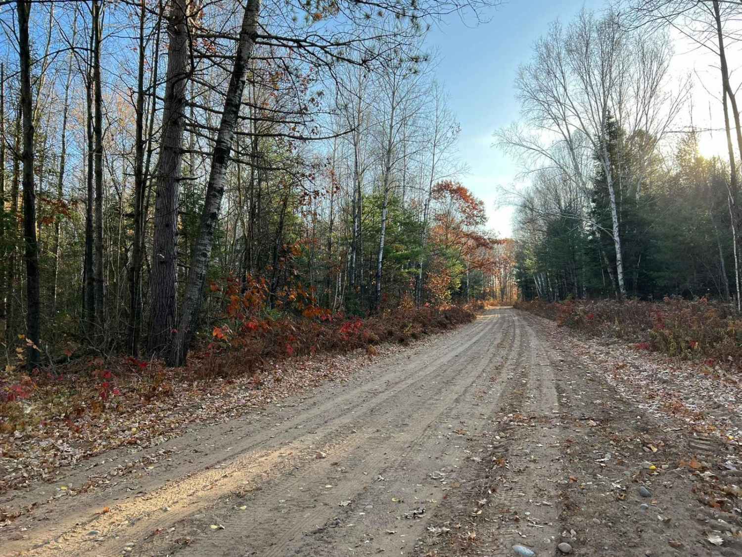
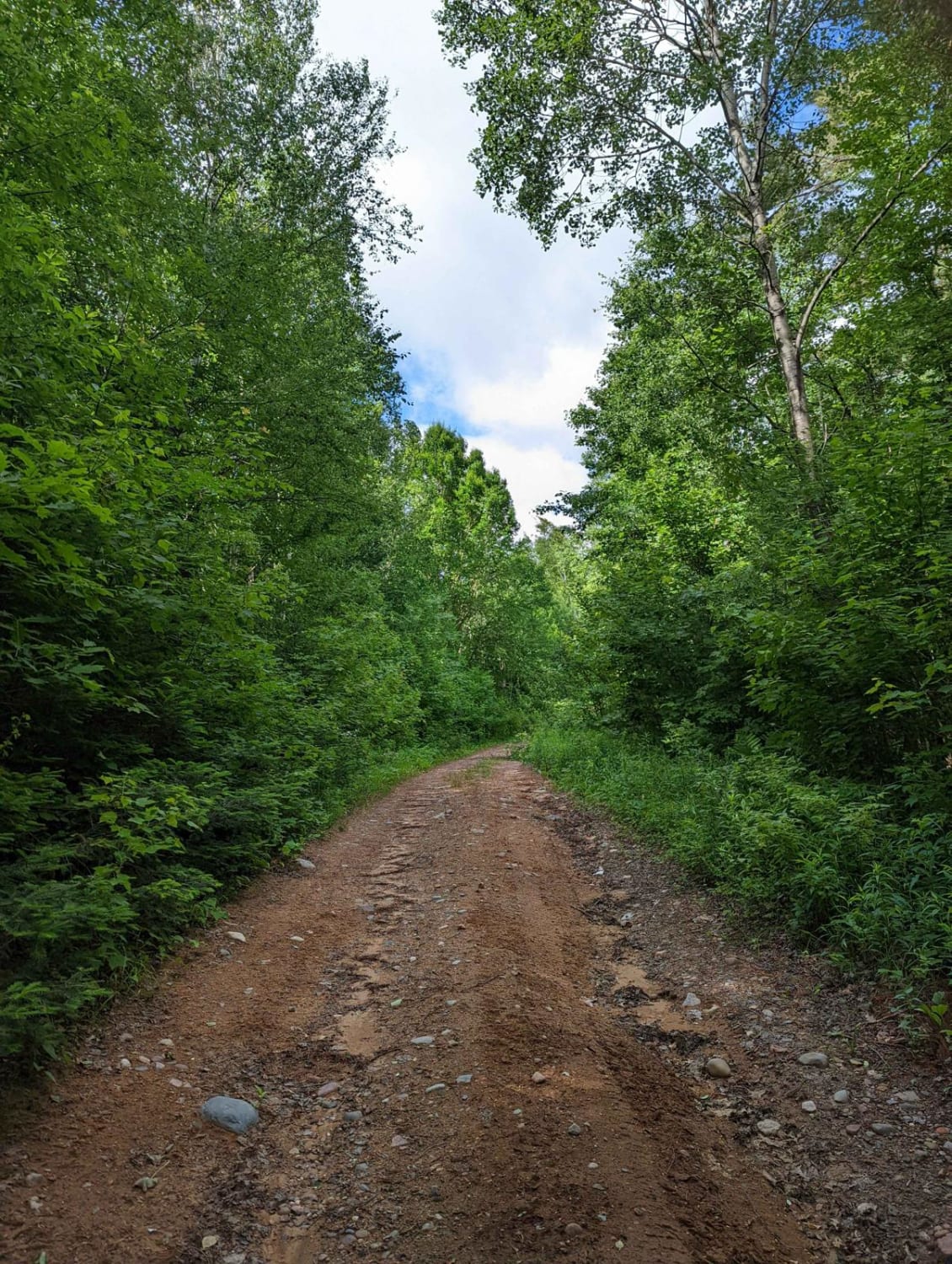
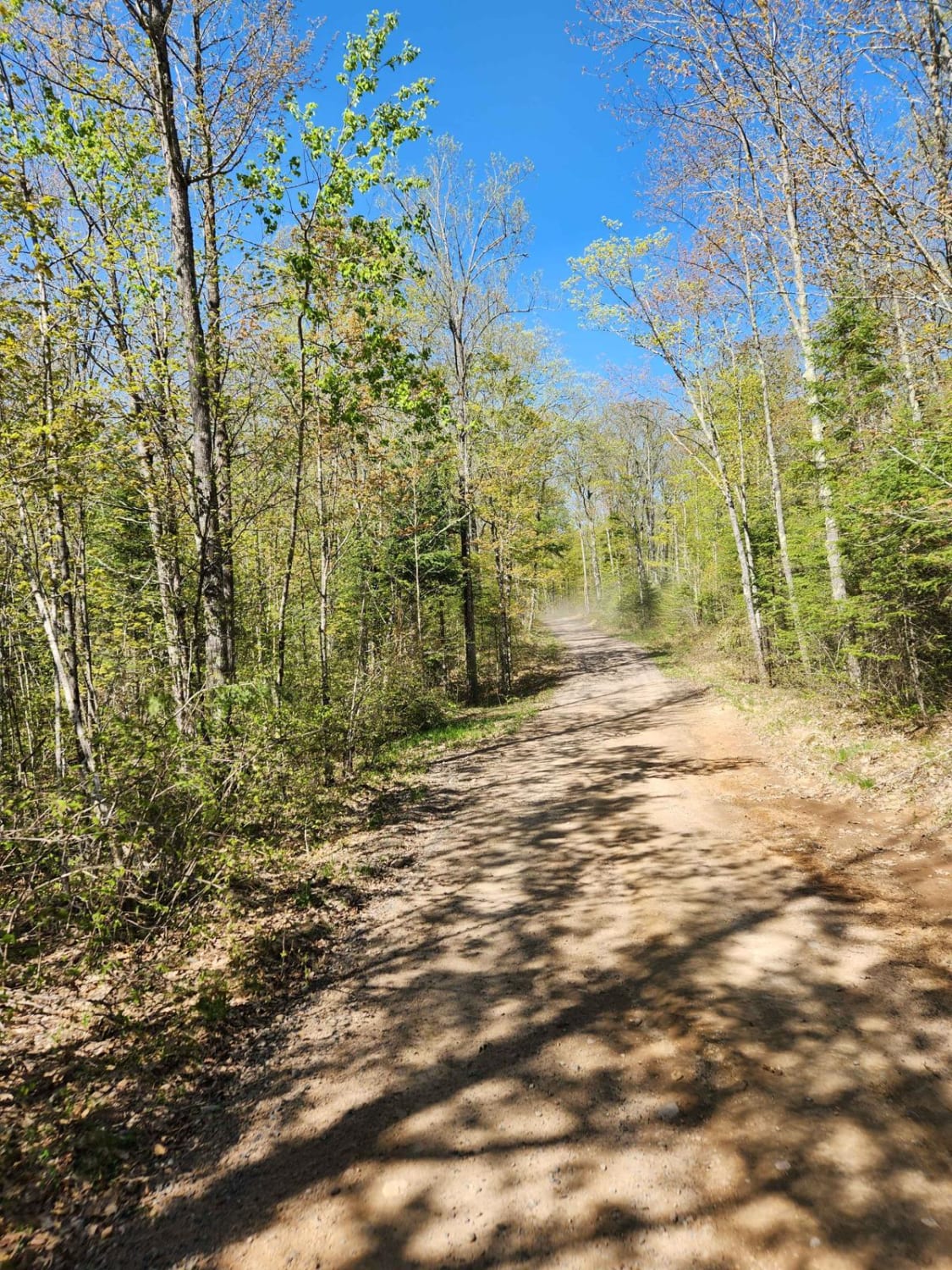
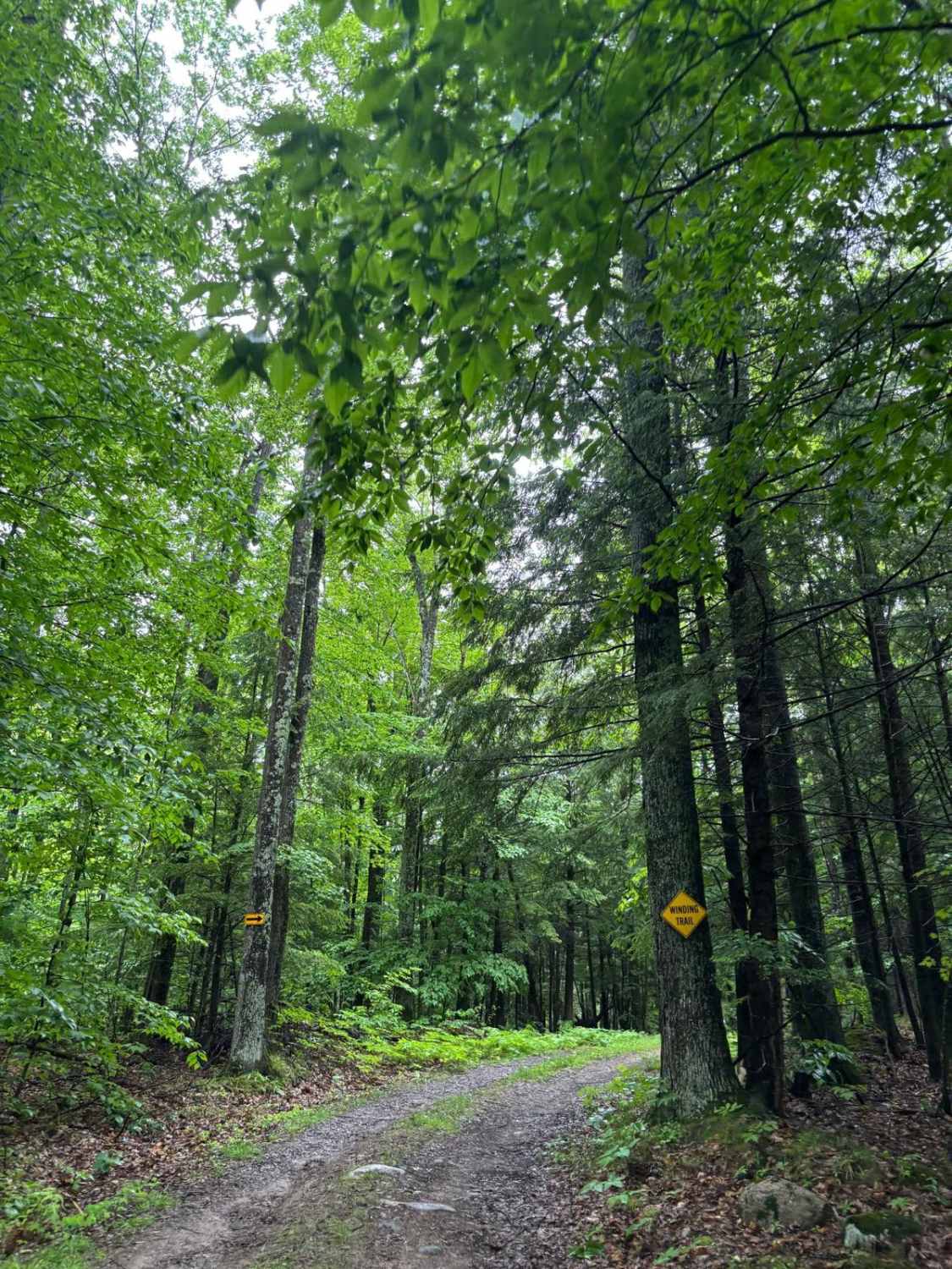
Trail Overview
This trail is also known as the Bob Mischker Memorial Trail. This is Marinette County Trail 16E/W Intersections 112 to 106. This trail runs from East of the town of Dunbar, into the nearby town of Pembine. This trail travels entirely through hardwood forest, with some pines mixed in throughout. The trail surface is mostly hard sand. Although there are numerous portions where there are large rock crossings. These areas are not challenging but should be something to be aware of, if hit with enough speed could cause the machine to lose control. There are also several spots on this trail where water holes must be traversed.
Photos of Pembine South Loop 16E/W

Difficulty
This trail can be completed by riders of all skill levels. However, riders looking for a smooth, relaxing ride might not enjoy all of the areas of large rocks on this trail. These sections are not difficult; rock protrusions are less than 12 inches in all spots. Some of these rocks do stick out of the ground like a ledge and can cause some jarring when traversed at speed. There are also several water spots that will need to be crossed. These are under four inches of water, except after periods of heavy rain. The trail surface is primarily hard sand which provides exceptional control. Sight lines are okay to good. Most areas on the trail are wide enough for two machines to pass each other at slow speeds.
Status Reports
Pembine South Loop 16E/W can be accessed by the following ride types:
- SxS (60")
- ATV (50")
Pembine South Loop 16E/W Map
Popular Trails
Nelson Fire Shortcut

Goodman Park Road - FS 2136
Forest Road 2330M
The onX Offroad Difference
onX Offroad combines trail photos, descriptions, difficulty ratings, width restrictions, seasonality, and more in a user-friendly interface. Available on all devices, with offline access and full compatibility with CarPlay and Android Auto. Discover what you’re missing today!