Butler Rock Loop
Total Miles
15.7
Technical Rating
Best Time
Fall, Summer
Trail Type
60" Trail
Accessible By
Trail Overview
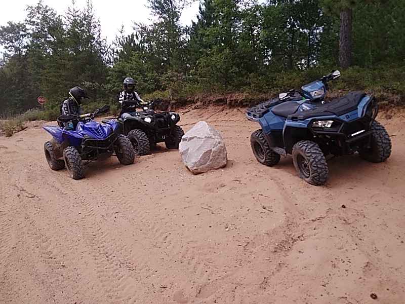
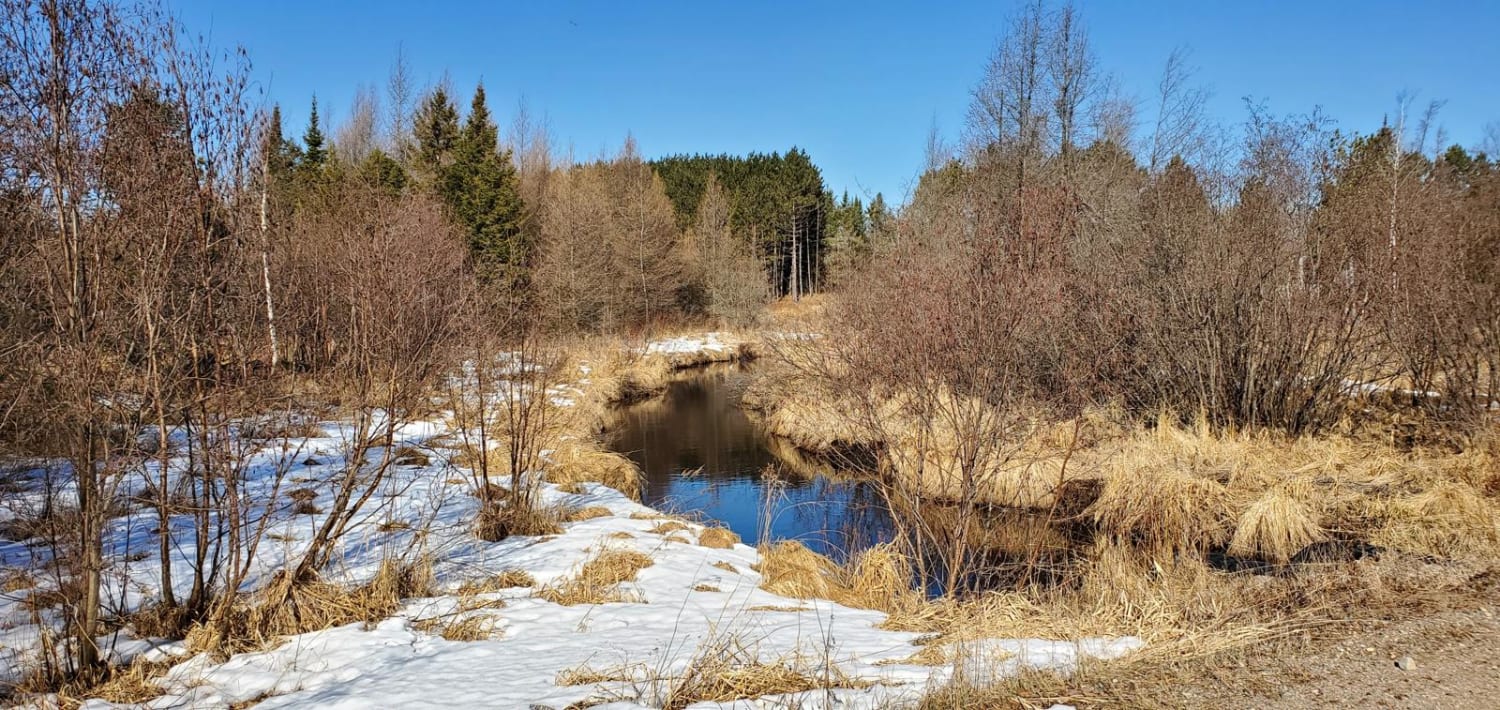
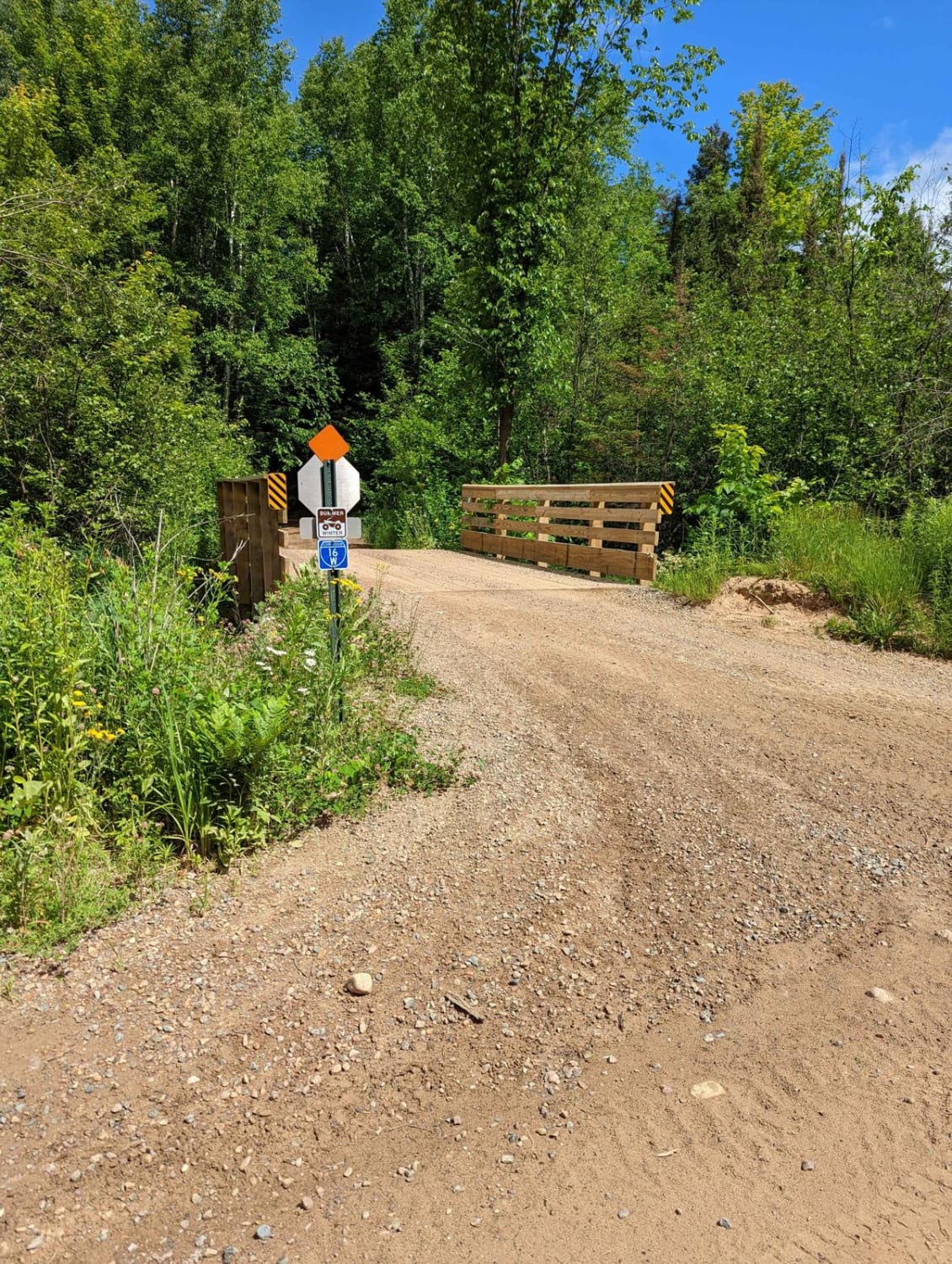
We traveled Southeast into Marinette County to access the Butler Rock Trails, which was a sandy route through multiple pine and birch forests. The Butler Rock area is a blast with tight twisty terrain with a good bit of elevation change. This route can be accessed via several Nicolet State Trail routes or the Crooked Lake Area.
Photos of Butler Rock Loop

Difficulty
THIS ROUTE HAS SOME GREAT TWISTY TERRAIN WITH SOME BANKED CORNERS AND A FEW DEEP RUTS. MODERATE DIFFICULTY WITH A FEW BLIND CORNERS
Status Reports
Butler Rock Loop can be accessed by the following ride types:
- SxS (60")
- ATV (50")
Butler Rock Loop Map
Popular Trails

FR 2183 Eastern Section

Long Lake Road - FS 2168
West Elcho/Lily Mill Pass Through
The onX Offroad Difference
onX Offroad combines trail photos, descriptions, difficulty ratings, width restrictions, seasonality, and more in a user-friendly interface. Available on all devices, with offline access and full compatibility with CarPlay and Android Auto. Discover what you’re missing today!