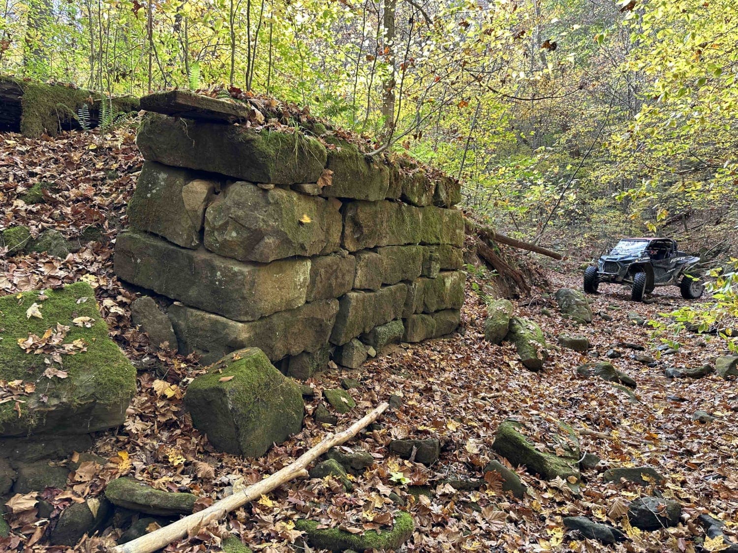
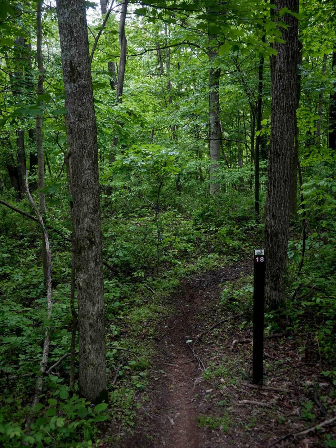
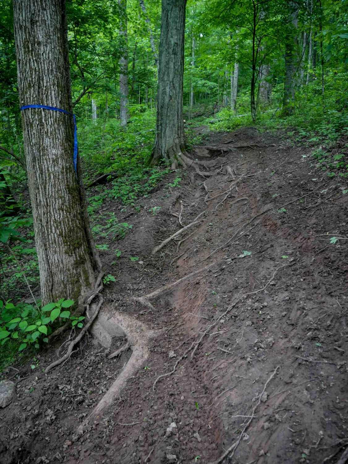
Off-Road Trails in West Virginia
Discover off-road trails in West Virginia
Learn more about Snake Island to Cavendish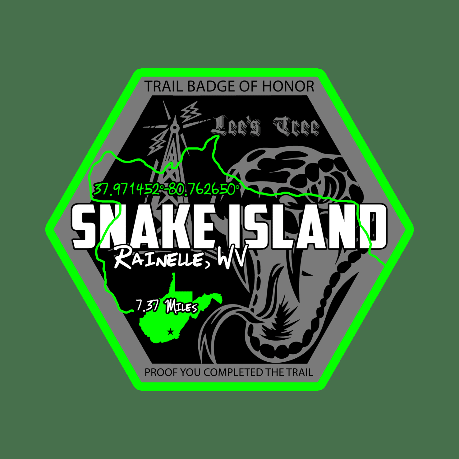
Snake Island to Cavendish
Total Miles
7.1
Tech Rating
Easy
Best Time
Spring, Summer, Fall
Learn more about Spruce Mountain Trail
Spruce Mountain Trail
Total Miles
9.7
Tech Rating
Easy
Best Time
Spring, Summer, Fall, Winter
Learn more about Squirrel Gap Road
Squirrel Gap Road
Total Miles
11.6
Tech Rating
Easy
Best Time
Spring, Summer, Fall, Winter
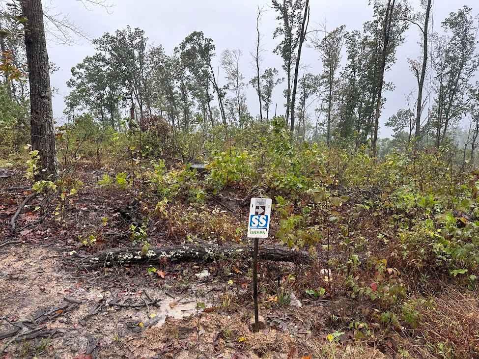
Learn more about Start of Trails Green
Start of Trails Green
Total Miles
0.3
Tech Rating
Easy
Best Time
Spring, Fall, Winter, Summer
Learn more about Stillhouse Run Road (FS304)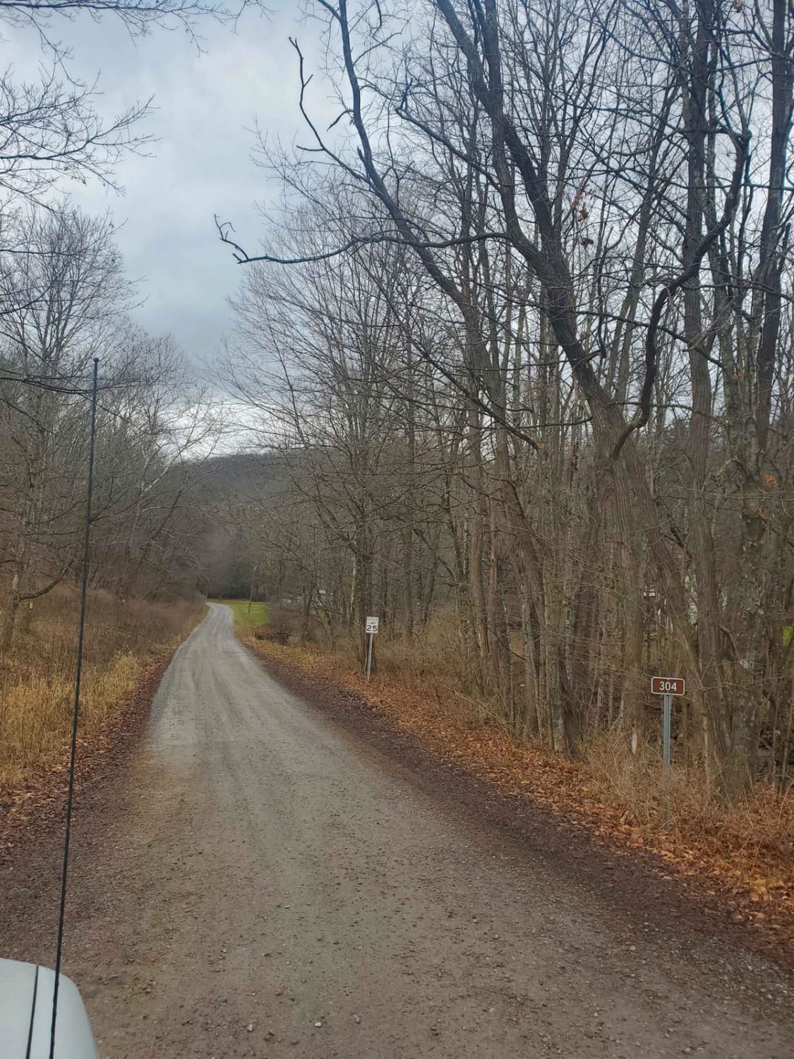
Stillhouse Run Road (FS304)
Total Miles
4.1
Tech Rating
Easy
Best Time
Spring, Summer, Fall, Winter
Learn more about Stoney Run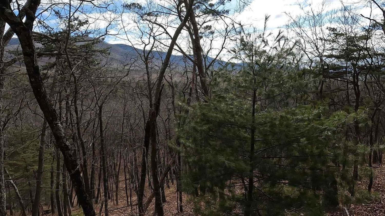
Stoney Run
Total Miles
11.5
Tech Rating
Easy
Best Time
Winter, Fall, Summer, Spring
Learn more about Sugar Camp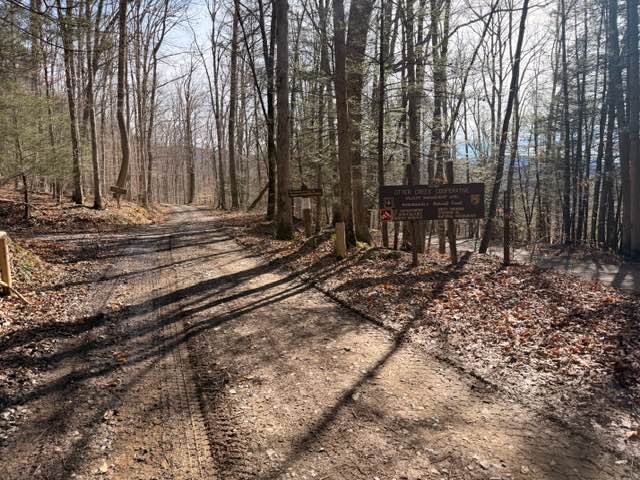
Sugar Camp
Total Miles
3.1
Tech Rating
Easy
Best Time
Spring, Summer, Fall, Winter
ATV trails in West Virginia


Learn more about 13 Connector
13 Connector
Total Miles
0.3
Tech Rating
Easy
Best Time
Fall, Spring, Summer, Winter

UTV/side-by-side trails in West Virginia
Learn more about 13 Connector
13 Connector
Total Miles
0.3
Tech Rating
Easy
Best Time
Fall, Spring, Summer, Winter
The onX Offroad Difference
onX Offroad combines trail photos, descriptions, difficulty ratings, width restrictions, seasonality, and more in a user-friendly interface. Available on all devices, with offline access and full compatibility with CarPlay and Android Auto. Discover what you’re missing today!