Tumbleweed Ravine
Total Miles
2.1
Technical Rating
Best Time
Winter, Fall, Summer, Spring
Trail Type
60" Trail
Accessible By
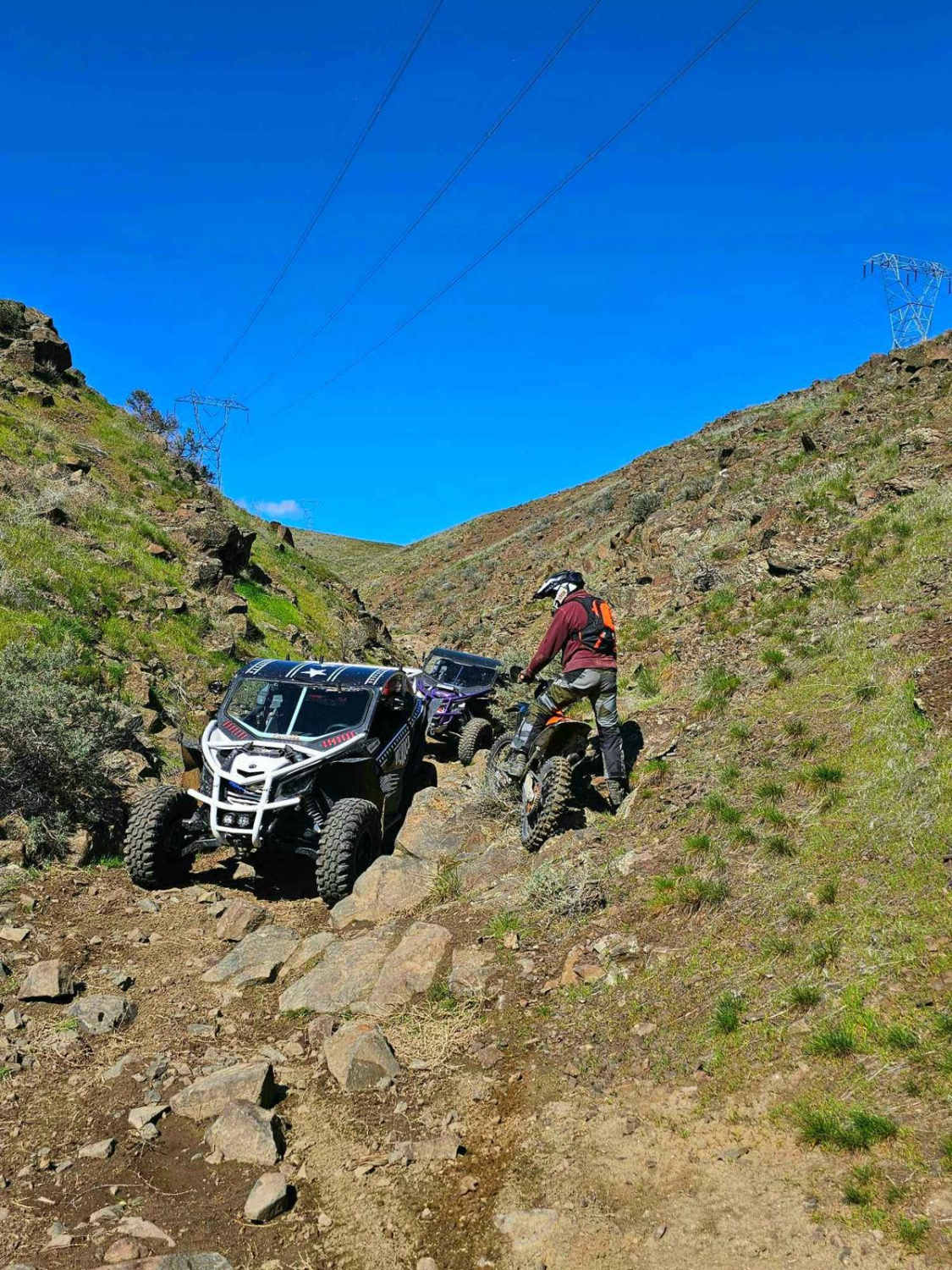
Trail Overview
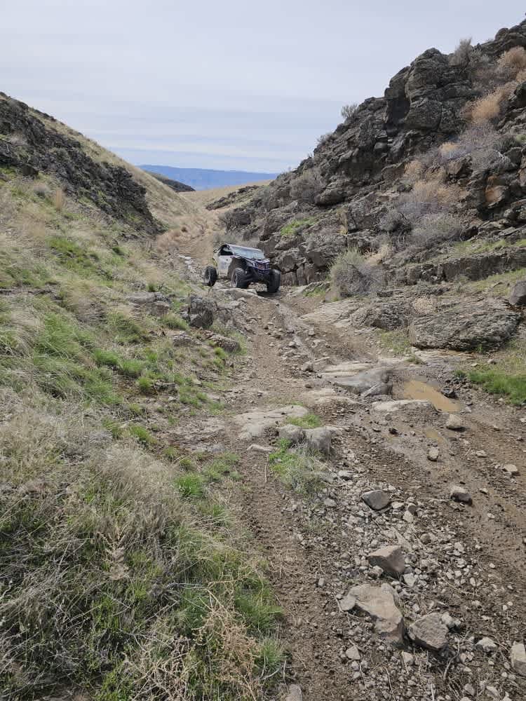
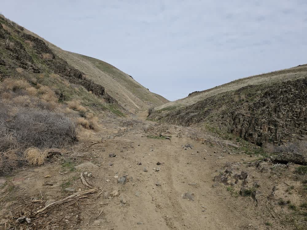
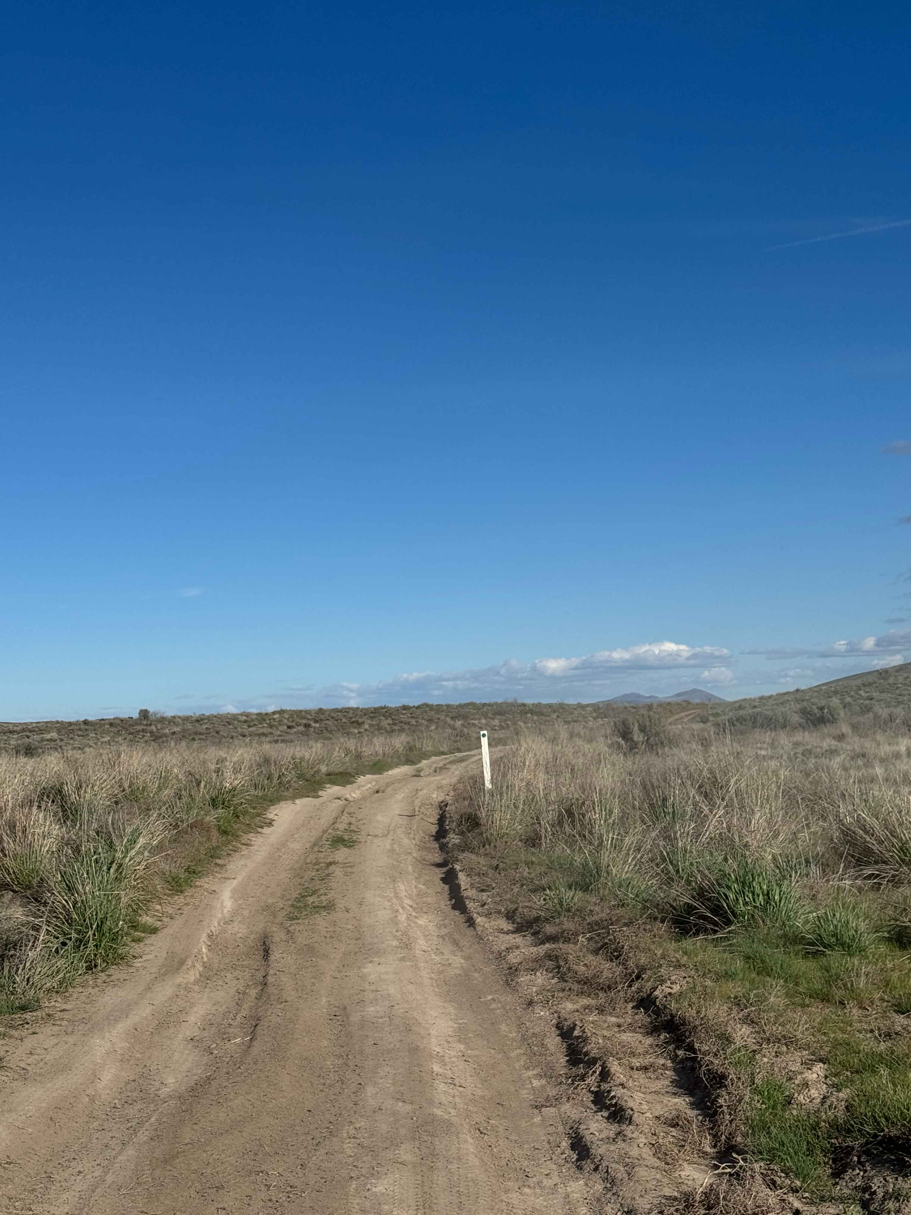
As you venture into this ravine, you'll encounter mounds of tumbleweeds and large sandy dips that gradually disappear as the towering walls close in around you. Maneuvering through the basalt boulders and sandy washes will have you craning your neck, eager to spot the next challenge ahead. Some sections of the ravine will cast shadows, hiding large rocks beneath the tumbleweeds, which can obscure dips and bumps in the trail. You'll come across off-camber spots that require you to maintain momentum for smooth navigation. Be sure to traverse the trail in both directions; doing so offers a completely different experience.
Photos of Tumbleweed Ravine
Difficulty
The large whoops at the entrance to the trail will taper down into a narrow, rock-strewn ravine of fractured basalt. This trail is narrow and cannot accommodate vehicles coming in both directions. There are a few spots to pull aside.
History
The Saddle Mountains were an important transportation corridor for Native Americans in the region, including the Yakama, with people passing over them to get between the Yakima Valley to the north and traditional fishing grounds along the Columbia River to the south.
Status Reports
Tumbleweed Ravine can be accessed by the following ride types:
- SxS (60")
- ATV (50")
- Dirt Bike
Tumbleweed Ravine Map
Popular Trails
Mill Gultch 4W326
Buffalo Ridge Road
Rock n Roll Ravine
Well's Creek Road
The onX Offroad Difference
onX Offroad combines trail photos, descriptions, difficulty ratings, width restrictions, seasonality, and more in a user-friendly interface. Available on all devices, with offline access and full compatibility with CarPlay and Android Auto. Discover what you’re missing today!