Tripod Flats Trail
Total Miles
5.0
Technical Rating
Best Time
Spring, Summer, Fall
Trail Type
High-Clearance 4x4 Trail
Accessible By
Trail Overview
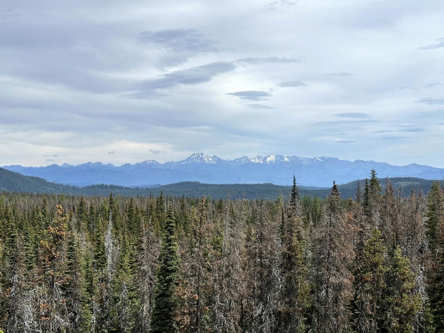
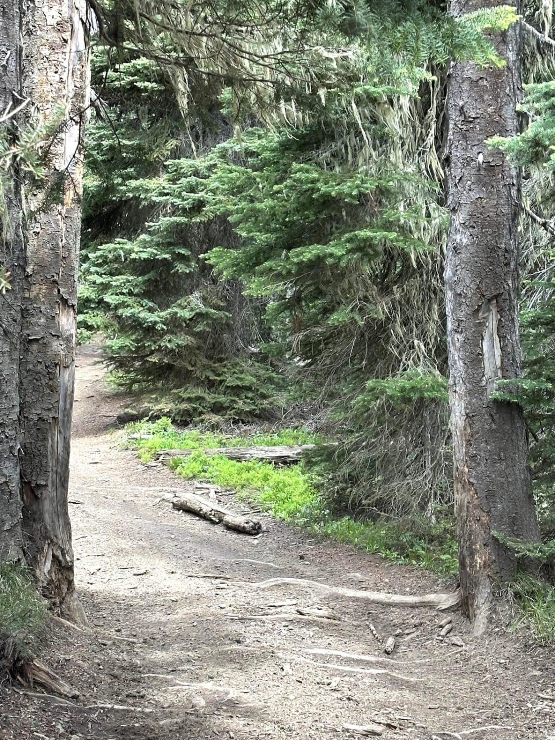
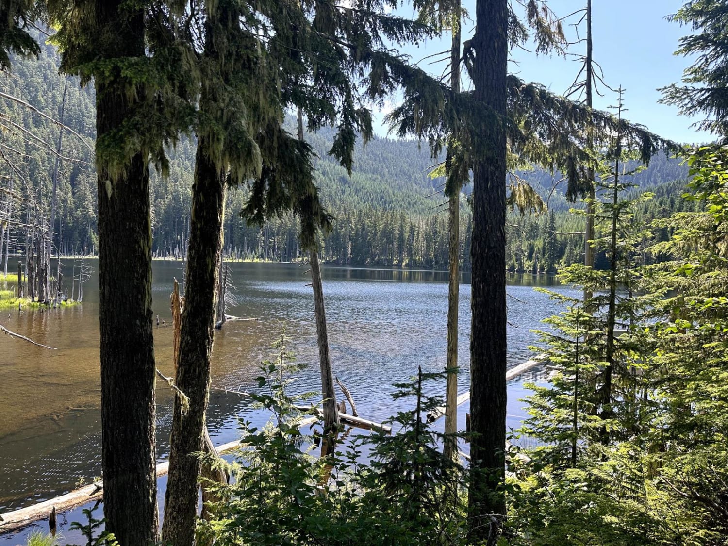
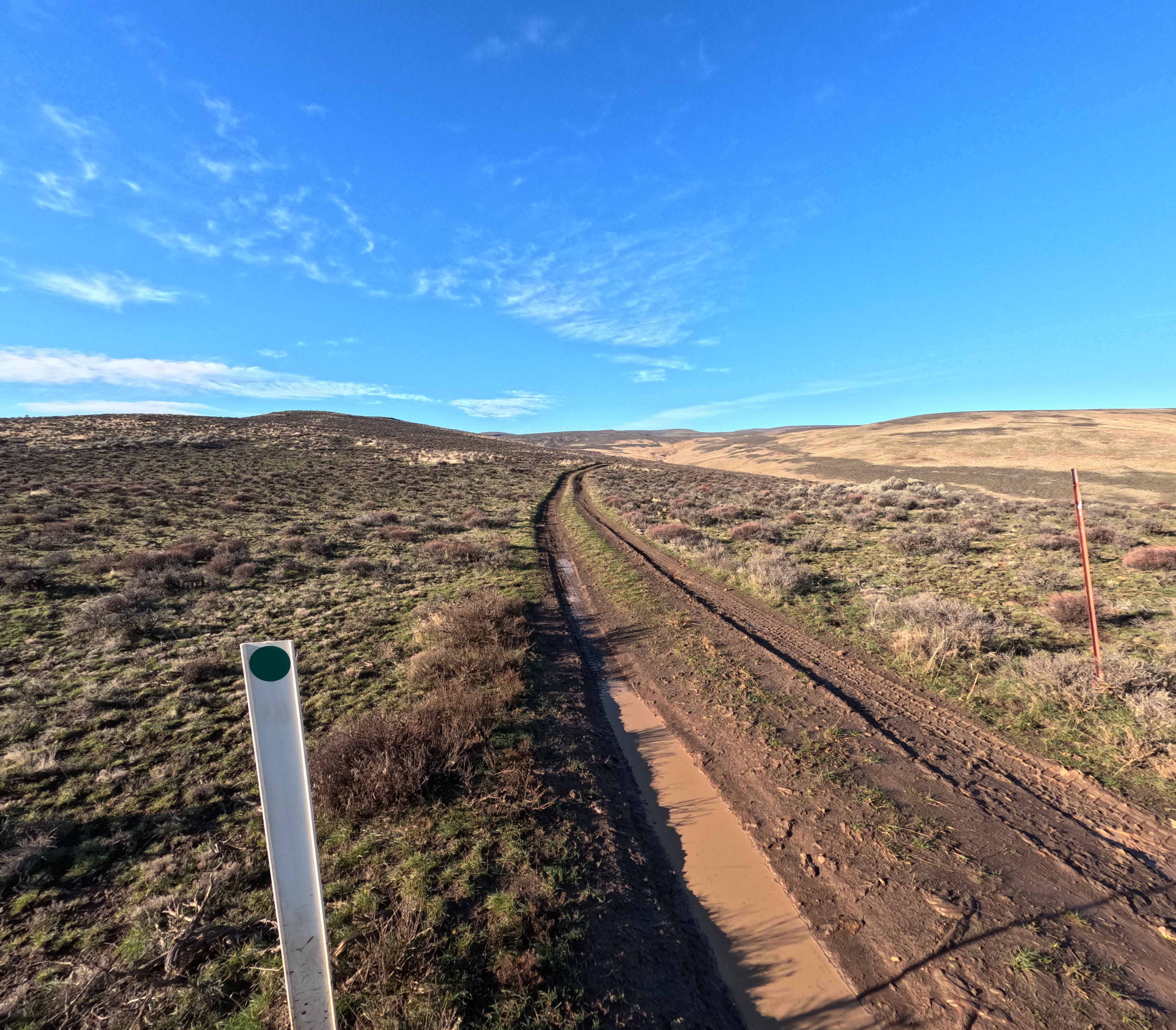
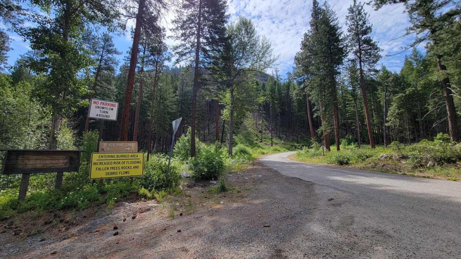
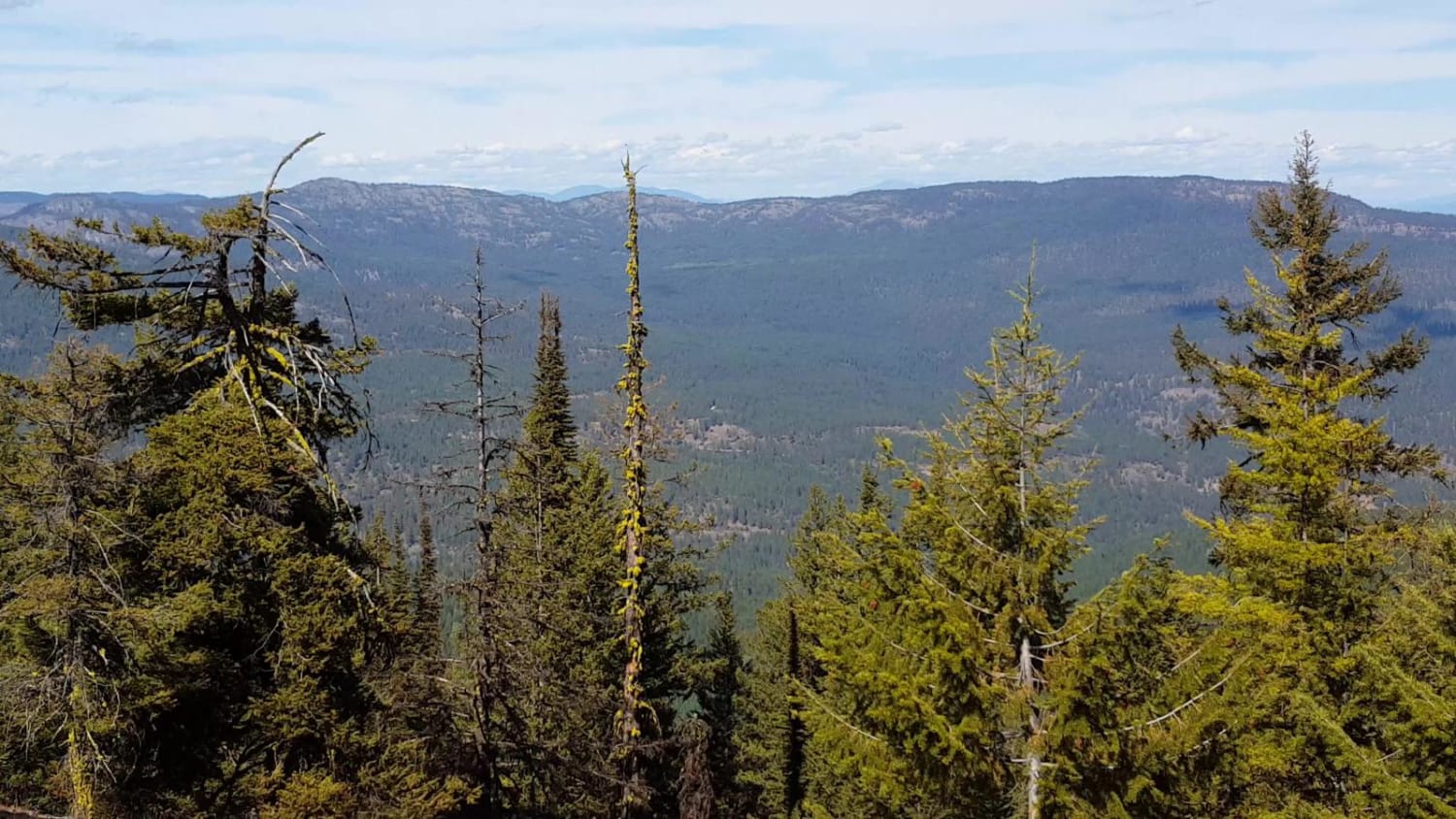
This 5.1-mile point-to-point trail connects the Manastash Divide Area Trailhead and campground to the Milk Creek Area, Funny Rocks and Moon Rocks OHV areas. This trail winds through the Wenatchee National Forest. Tree roots, rocks, and mud holes are found throughout this trail. Several narrow passes between trees have the potential to cause damage to mirrors, fenders, and tires.
Photos of Tripod Flats Trail
Difficulty
There are tree roots, rocks, and mud holes up to 12" in depth.
Status Reports
Tripod Flats Trail can be accessed by the following ride types:
- High-Clearance 4x4
- SxS (60")
- ATV (50")
- Dirt Bike
Tripod Flats Trail Map
Popular Trails
Coplay & East Lake Trail
Bohinkleman Road
NF 43 - Buttermilk Libby
South Huckleberry2 Trail
The onX Offroad Difference
onX Offroad combines trail photos, descriptions, difficulty ratings, width restrictions, seasonality, and more in a user-friendly interface. Available on all devices, with offline access and full compatibility with CarPlay and Android Auto. Discover what you’re missing today!