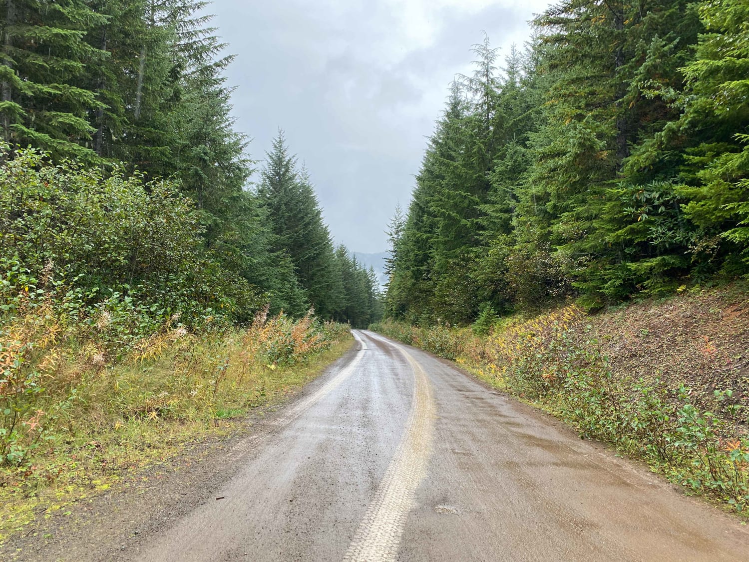
Thompson Creek
Total Miles
5.4
Technical Rating
Best Time
Summer, Fall
Trail Type
Full-Width Road
Accessible By
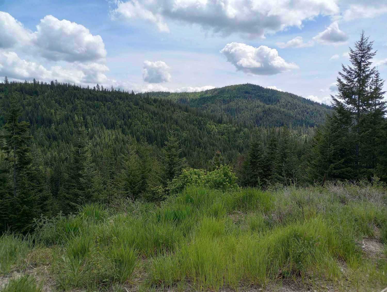
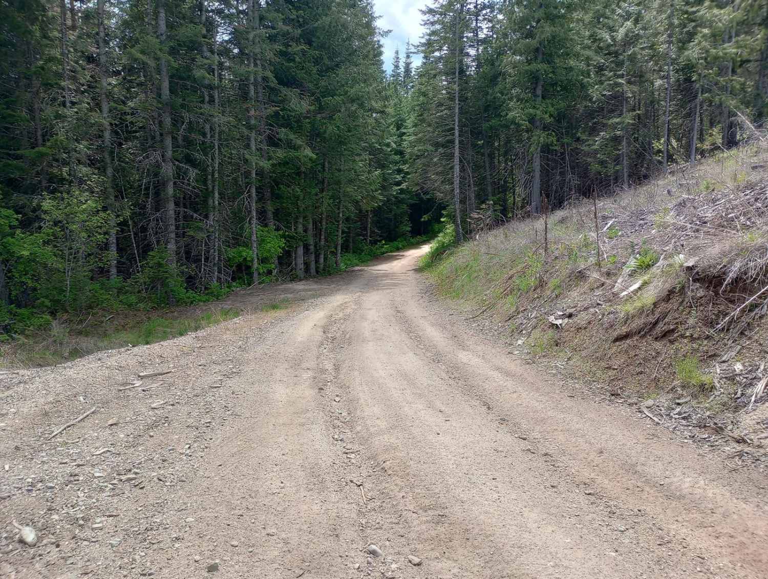
Trail Overview
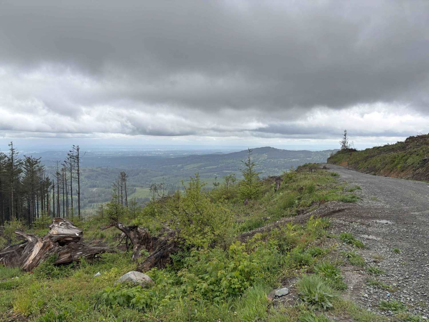
This route is on Inland Empire Paper (IEP) land through the Thompson Creek Gate. This is more or less the main road through this area. There are multiple places to pull over or turn around along the way. This route begins at the IEP gate and heads north for about 3 miles on Snake Trail Road. It then heads west for another 2.5 miles and ends at an intersection/clearing with room to turn around. Multiple spur trails continue from this area but the terrain difficulty will increase if you continue further. Cell service is intermittent in this area. IEP gates close seasonally. These roads are open to ORVs and full-size (50 inches or wider) vehicles from May 15 through October 31. The gates are closed to unauthorized vehicles from November 1 to May 14. An Inland Empire Paper land recreation pass is required. You can purchase an annual pass, family annual pass, or individual day pass online or in person at a few select locations. Or you can purchase a day pass at the Thompson Creek Gate with cash from the gate attendant. Check their website for more information, as well as their land use rules.
Photos of Thompson Creek
Difficulty
This road has occasional ruts and small obstacles, but can be driven with most any vehicle. 4WD may be necessary depending on mud/snow conditions.
Status Reports
Thompson Creek can be accessed by the following ride types:
- High-Clearance 4x4
- SUV
- SxS (60")
- ATV (50")
- Dirt Bike
Thompson Creek Map
Popular Trails
Prairie Creek - FS 2190
NF7720000 Overlook
Olympic National Forest, Quilcene Range
Jones Creek ORV
The onX Offroad Difference
onX Offroad combines trail photos, descriptions, difficulty ratings, width restrictions, seasonality, and more in a user-friendly interface. Available on all devices, with offline access and full compatibility with CarPlay and Android Auto. Discover what you’re missing today!