Steliko Ridge - Powerline
Total Miles
9.3
Technical Rating
Best Time
Trail Type
Full-Width Road
Accessible By

Trail Overview
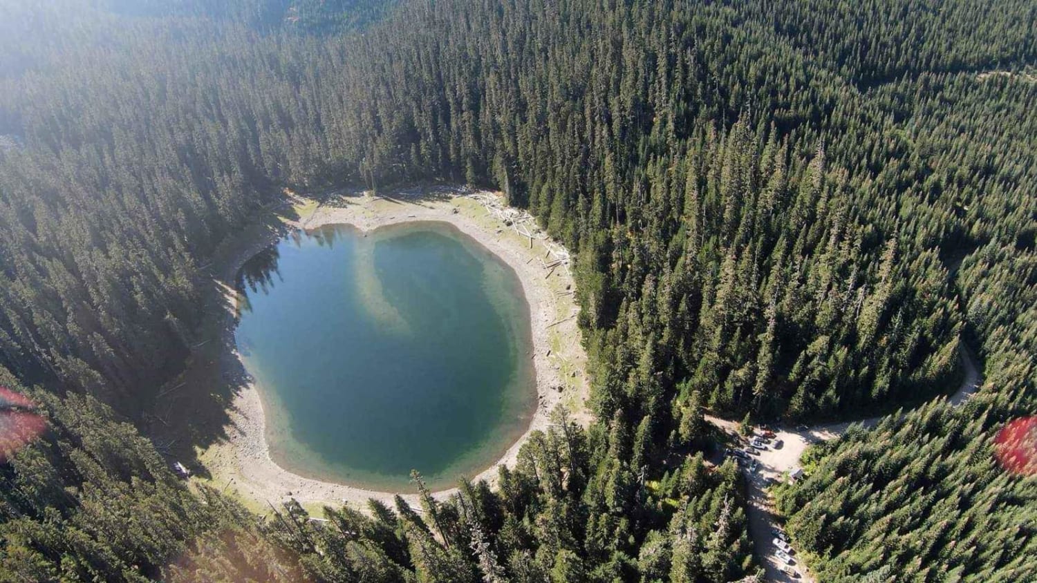
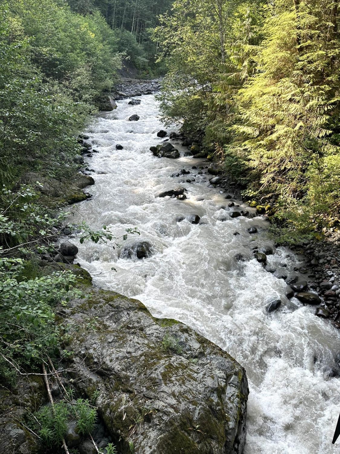
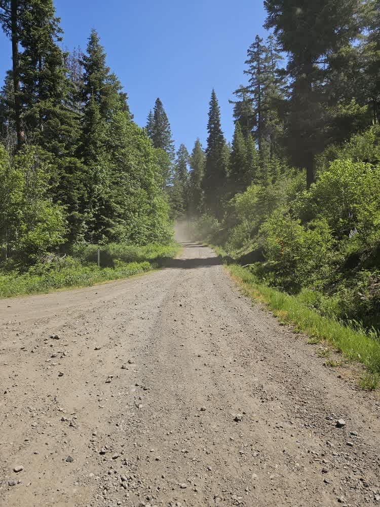
Steliko Ridge to Powerline Road (FSR 5310 to FSR 5303) is a moderate 4x4 route in Washington best suited for drivers comfortable with narrow ridge travel and light exposure, offering a short but scenic connector from Steliko Canyon along CR-19 to Osburne Road. The 9.3-mile route begins around 1,300 feet in Steliko Canyon and climbs steadily along Steliko Ridge via FSR 5310 to roughly 2,900 feet, where the road transitions into classic shelf sections with limited passing opportunities and sustained drop-offs. The surface is primarily native dirt and gravel with intermittent rock and loose corners, and while obstacles are generally mild in dry conditions, the off-camber segments and exposure increase the overall difficulty, especially for full-size vehicles. At the high point, the route transitions onto Powerline Road (FSR 5303) and begins a gradual descent toward Osburne Road, maintaining similar terrain with slightly more open sightlines and occasional erosion or embedded rock. The route is open only to highway-legal vehicles, including 4x4s, SUVs, and dual-sport motorcycles, and is not suitable for non-street-legal ATVs or side-by-sides. Seasonal access is limited by snow and mud from late fall through spring, and summer conditions may bring fire-related closures across the Entiat Ranger District. Remote conditions, minimal traffic, and extended narrow sections without easy turnarounds make this a route where careful vehicle placement and planning are important throughout.
Status Reports
Steliko Ridge - Powerline can be accessed by the following ride types:
- High-Clearance 4x4
- SUV
- Dirt Bike
Steliko Ridge - Powerline Map
Popular Trails
Lonesome Lake FS75
Glacier Creek Road

The onX Offroad Difference
onX Offroad combines trail photos, descriptions, difficulty ratings, width restrictions, seasonality, and more in a user-friendly interface. Available on all devices, with offline access and full compatibility with CarPlay and Android Auto. Discover what you’re missing today!