Glacier Creek Road
Total Miles
2.7
Technical Rating
Best Time
Spring, Summer, Fall
Trail Type
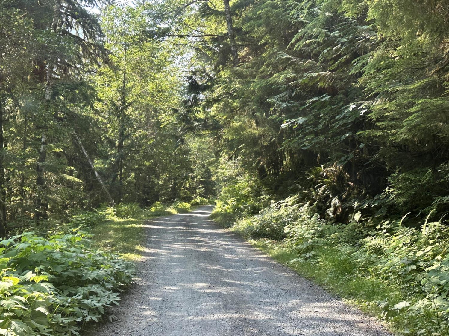
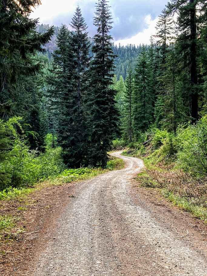
Full-Width Road
Accessible By
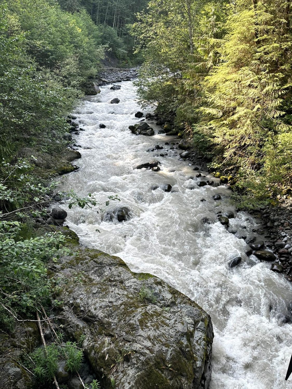
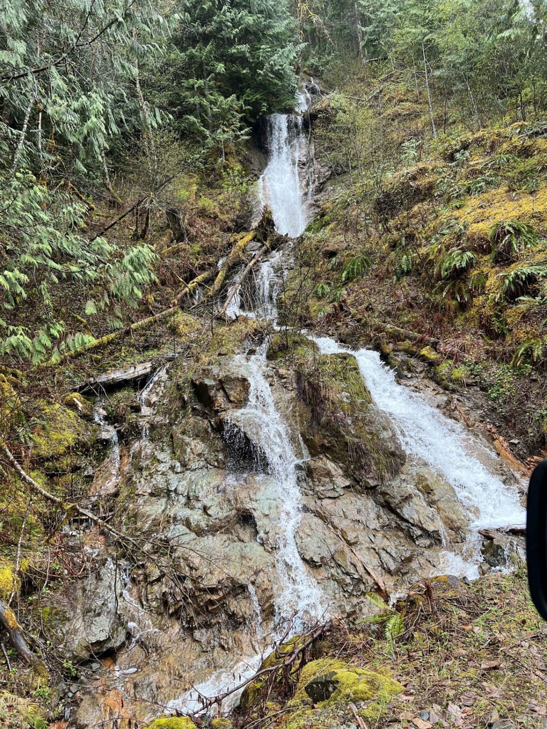
Trail Overview
This 5.4 mile out and back trail once accessed several backcountry hiking trails and views of the glaciers on Mt. Baker. This road has been washed out by the creek in multiple areas and has been closed to motorized vehicles at 2.9 miles but still open for hiking. This trail is passable by 2WD, AWD, and 4WD vehicles.
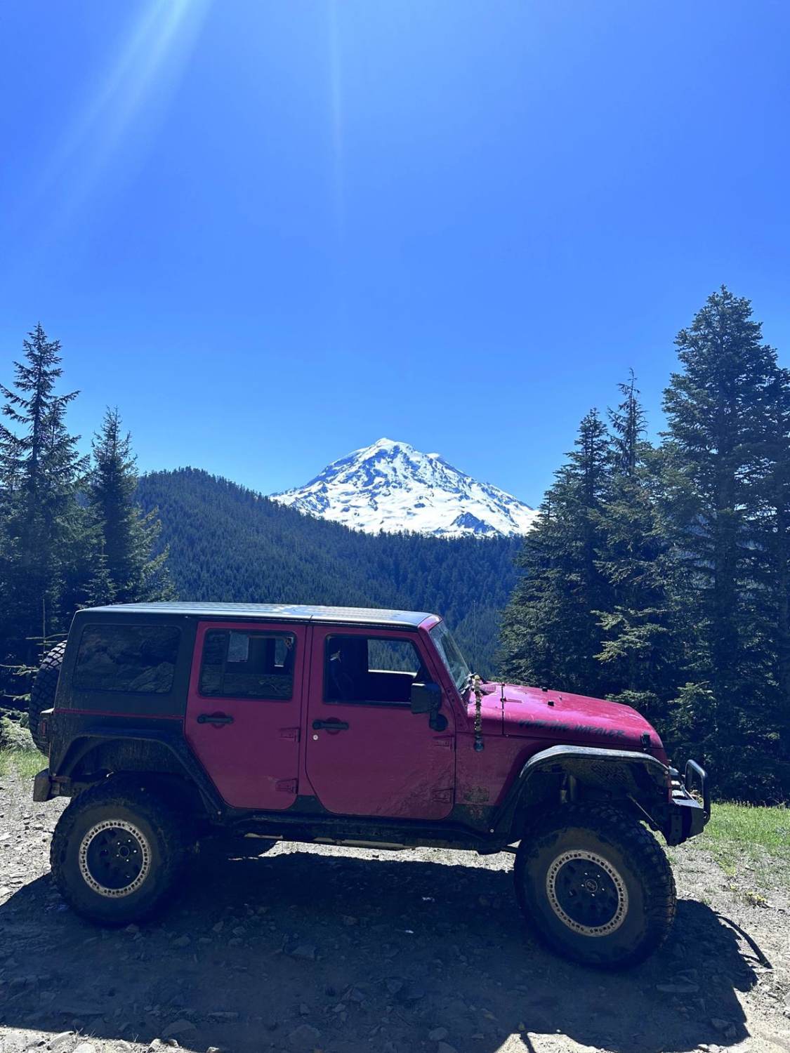
Photos of Glacier Creek Road
Difficulty
On this trail you'll come across shallow mud holes.
Status Reports
Glacier Creek Road can be accessed by the following ride types:
- High-Clearance 4x4
- SUV
- SxS (60")
- ATV (50")
- Dirt Bike
Glacier Creek Road Map
Popular Trails
MT Baker Natl Forest
Gale Creek - FS 4948
Poch Ridge Trail

The onX Offroad Difference
onX Offroad combines trail photos, descriptions, difficulty ratings, width restrictions, seasonality, and more in a user-friendly interface. Available on all devices, with offline access and full compatibility with CarPlay and Android Auto. Discover what you’re missing today!