Salmo Lookout
Total Miles
14.4
Technical Rating
Best Time
Summer
Trail Type
Full-Width Road
Accessible By
Trail Overview
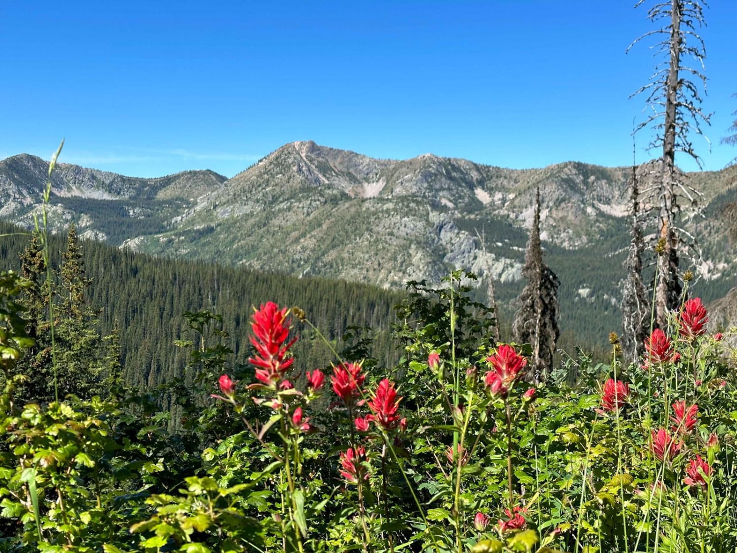
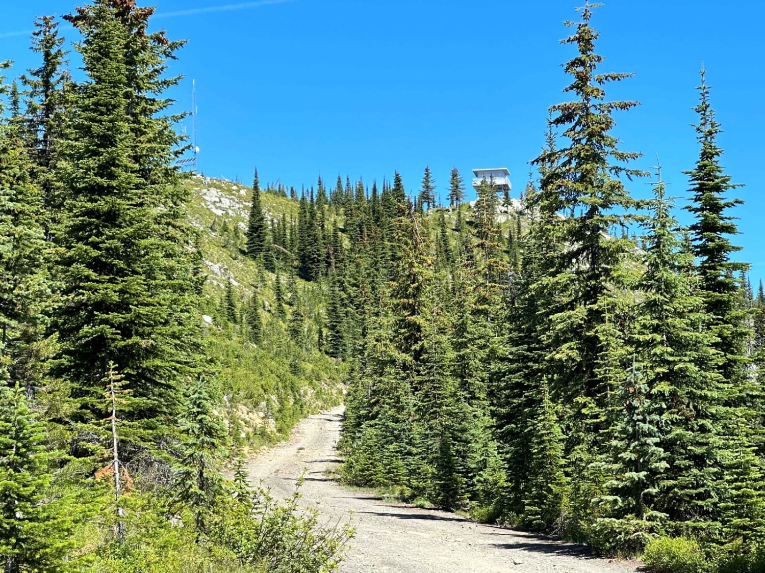
Gravel USFS roads from Sullivan Lake to the Salmo Mountain summit lookout have access to a wide variety of 4WD routes, campsites, lakes, streams, and hiking trailheads, and are suitable for bicycles and horseback riding. This is a very narrow road with very limited passing areas, rocky gravel, some washouts, and steep slopes to the summit. There is lots of parking just below the summit and also at the lookout with beautiful views of Idaho and Canada and the Salmo-Priest Wilderness Area of Washington. No OHVs/ATVs are allowed without a USFS permit.
Photos of Salmo Lookout
Difficulty
High clearance vehicles are recommended on the upper summit route; expect washouts, rocks, steep slopes, some water on route, and snow anytime between fall and early summer. Washouts and floods are common in the valley below. Passing is extremely limited on the summit route.
History
The USFS Lookout is no longer used, but the building is intact and borders the Salmo-Priest Wilderness Area.
Salmo Lookout can be accessed by the following ride types:
- High-Clearance 4x4
- SUV
Salmo Lookout Map
Popular Trails

Mallardy Cr - NFSR 4030

Staging Access Trail

Sadie Creek North 4x4 Loop

The onX Offroad Difference
onX Offroad combines trail photos, descriptions, difficulty ratings, width restrictions, seasonality, and more in a user-friendly interface. Available on all devices, with offline access and full compatibility with CarPlay and Android Auto. Discover what you’re missing today!