Milk Creek Road
Total Miles
8.2
Technical Rating
Best Time
Spring, Summer, Fall
Trail Type
Full-Width Road
Accessible By
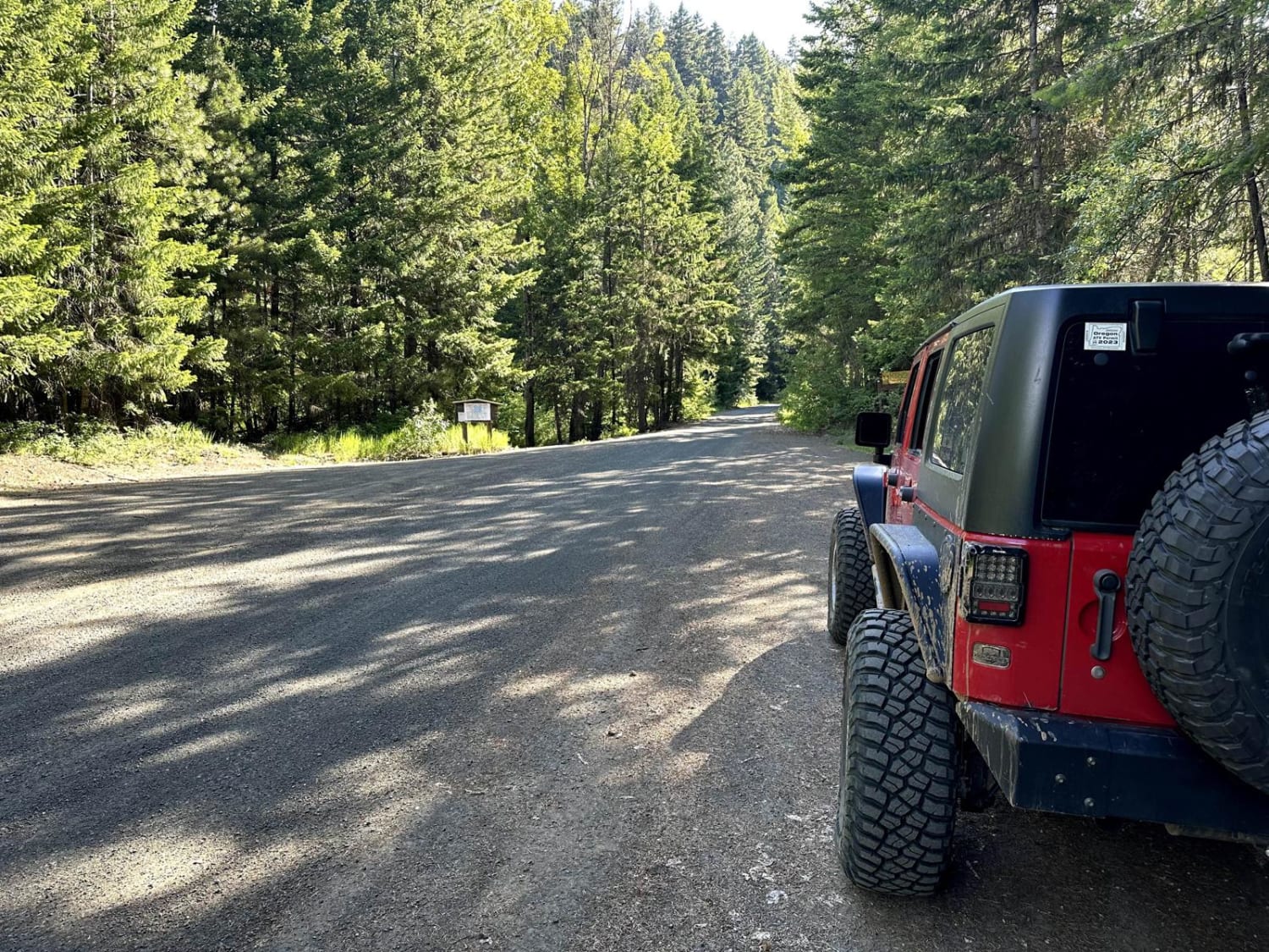
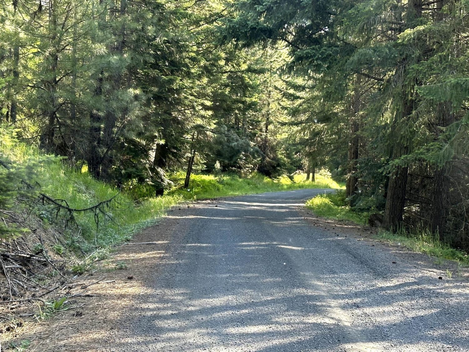
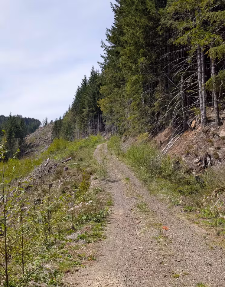
Trail Overview
This 8.1-mile point-to-point trail travels along Milk Creek, passes by Milk Pond (picnic area), and ends at Milk Lake. Enjoy the winding road as it climbs up Manastash Ridge toward Bald Mountain. This trail turns into a 4WD trail past Milk Lake. Passable by stock 4WD and high clearance 2WD vehicles.
Photos of Milk Creek Road
Difficulty
This is a maintained dirt road with small potholes.
Status Reports
Milk Creek Road can be accessed by the following ride types:
- High-Clearance 4x4
- SUV
- SxS (60")
- ATV (50")
- Dirt Bike
Milk Creek Road Map
Popular Trails

Steptoe Canyon Road

Swamp Devil Connection

Little Chumstick Creek Road
The onX Offroad Difference
onX Offroad combines trail photos, descriptions, difficulty ratings, width restrictions, seasonality, and more in a user-friendly interface. Available on all devices, with offline access and full compatibility with CarPlay and Android Auto. Discover what you’re missing today!