Middle Fork Nooksack
Total Miles
12.6
Technical Rating
Best Time
Spring, Summer, Fall
Trail Type
Full-Width Road
Accessible By
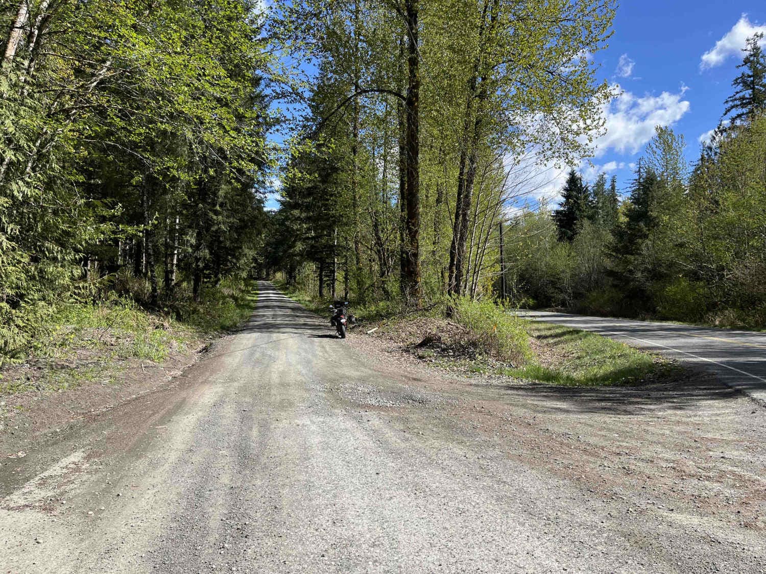
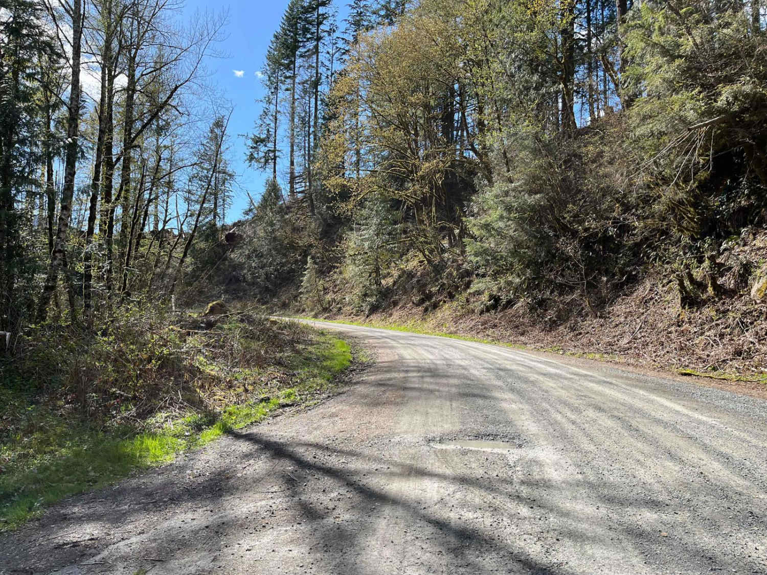
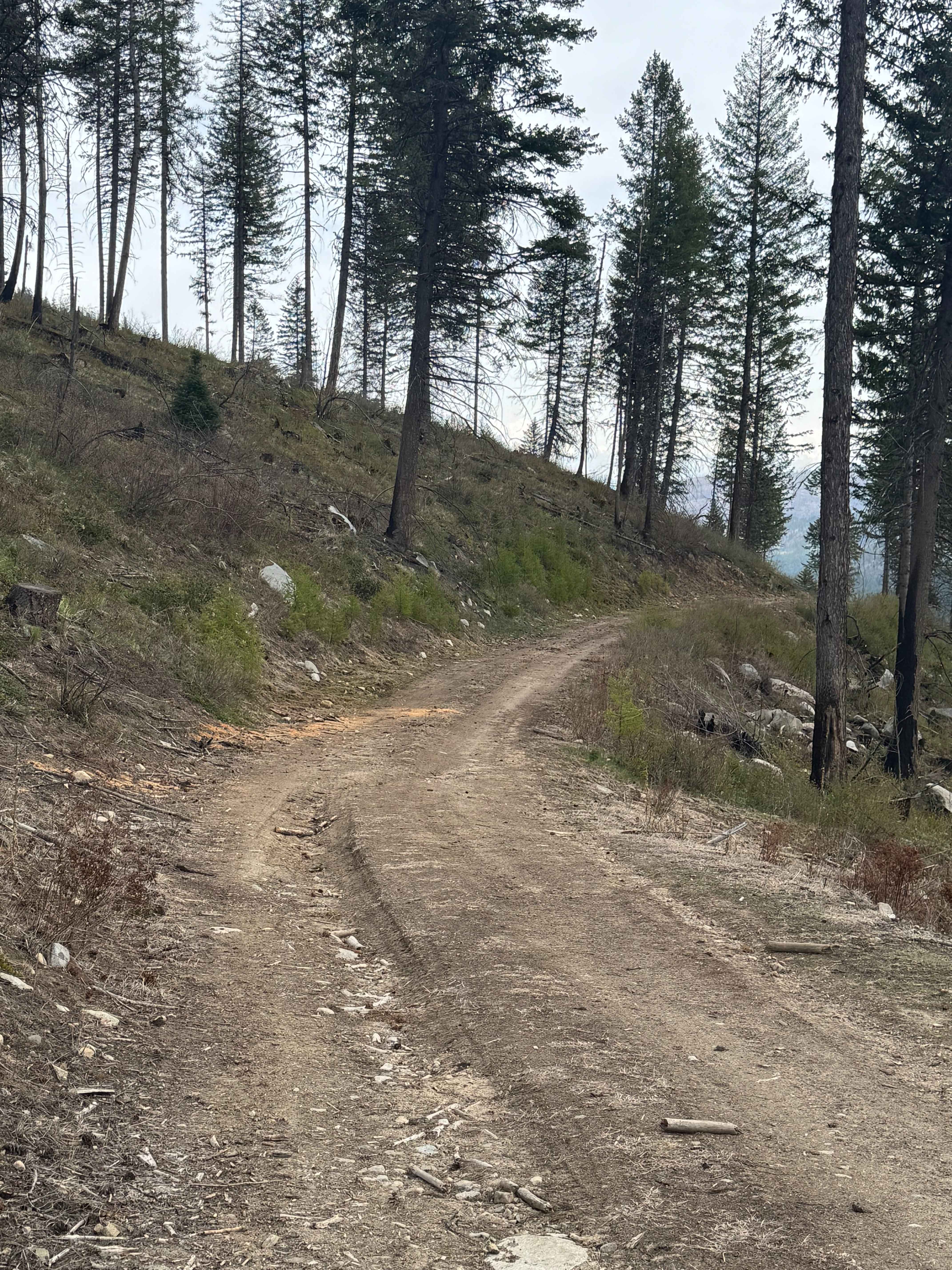
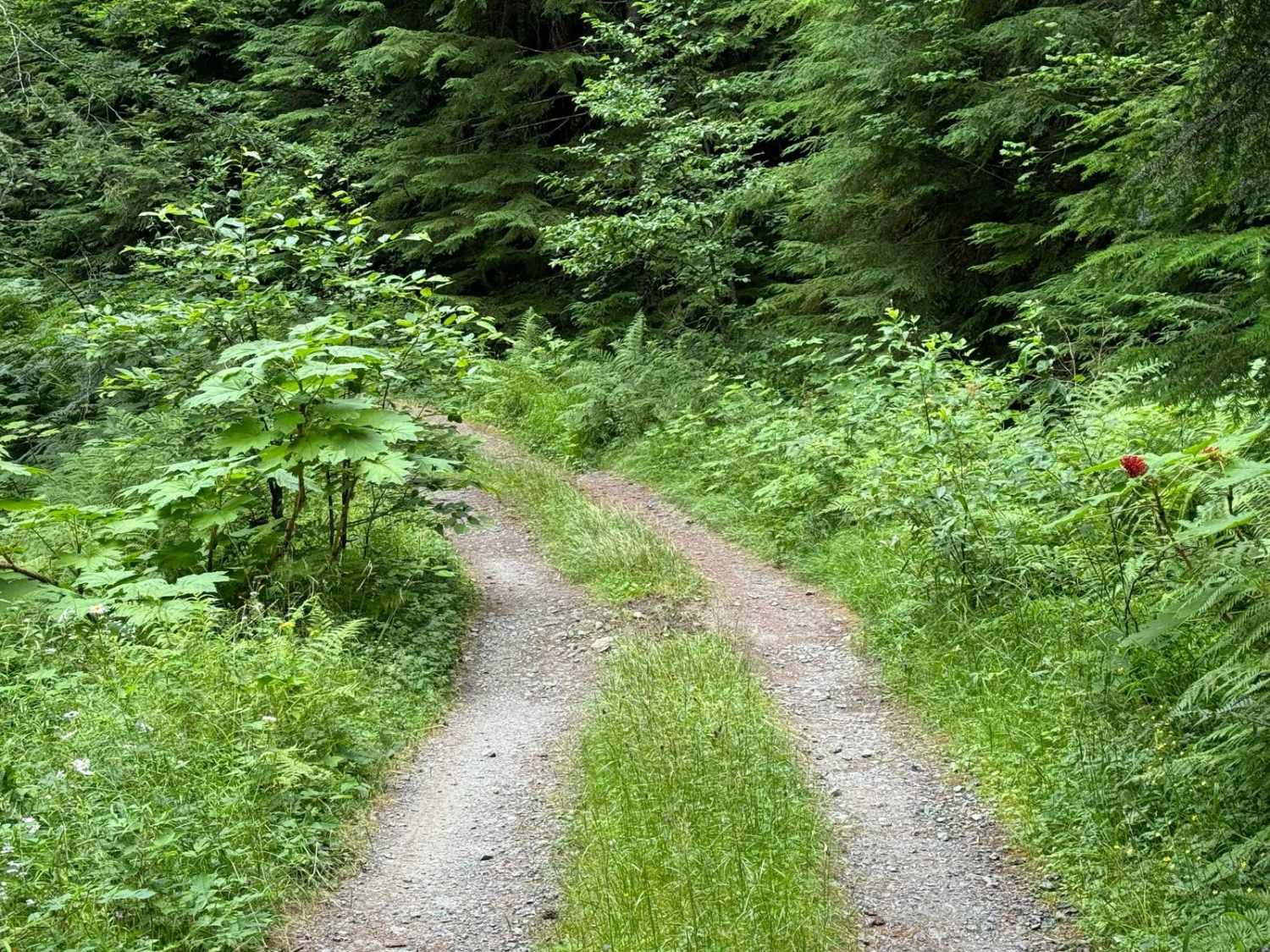
Trail Overview
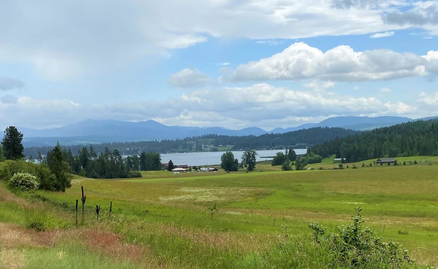
Middle Fork Nooksack is a 12.6-mile out-and-back gravel road located east of Deming and ending at Ridley Creek Trailhead. The road surface gets procedurally rougher, starting as a wide gravel road with some potholes and ending as a tight trail with some ruts and large deep potholes. The first 4.8 miles are passable to any vehicle, but after this point, some lower-clearance cars may have trouble. There are several bridges with views of creeks and rivers that feed into the Middle Fork Nooksack River. The first 9 miles are located within DNR land, with the last several miles ending in the Mount Baker National Forest. A Discover Pass is required.
Photos of Middle Fork Nooksack
Difficulty
The first several miles are easily passable by any vehicle, but as the trail continues it will become rougher.
Status Reports
Middle Fork Nooksack can be accessed by the following ride types:
- High-Clearance 4x4
- SUV
- SxS (60")
- ATV (50")
- Dirt Bike
Middle Fork Nooksack Map
Popular Trails

Columbia National Wildlife Refuge Lake Tour
The onX Offroad Difference
onX Offroad combines trail photos, descriptions, difficulty ratings, width restrictions, seasonality, and more in a user-friendly interface. Available on all devices, with offline access and full compatibility with CarPlay and Android Auto. Discover what you’re missing today!