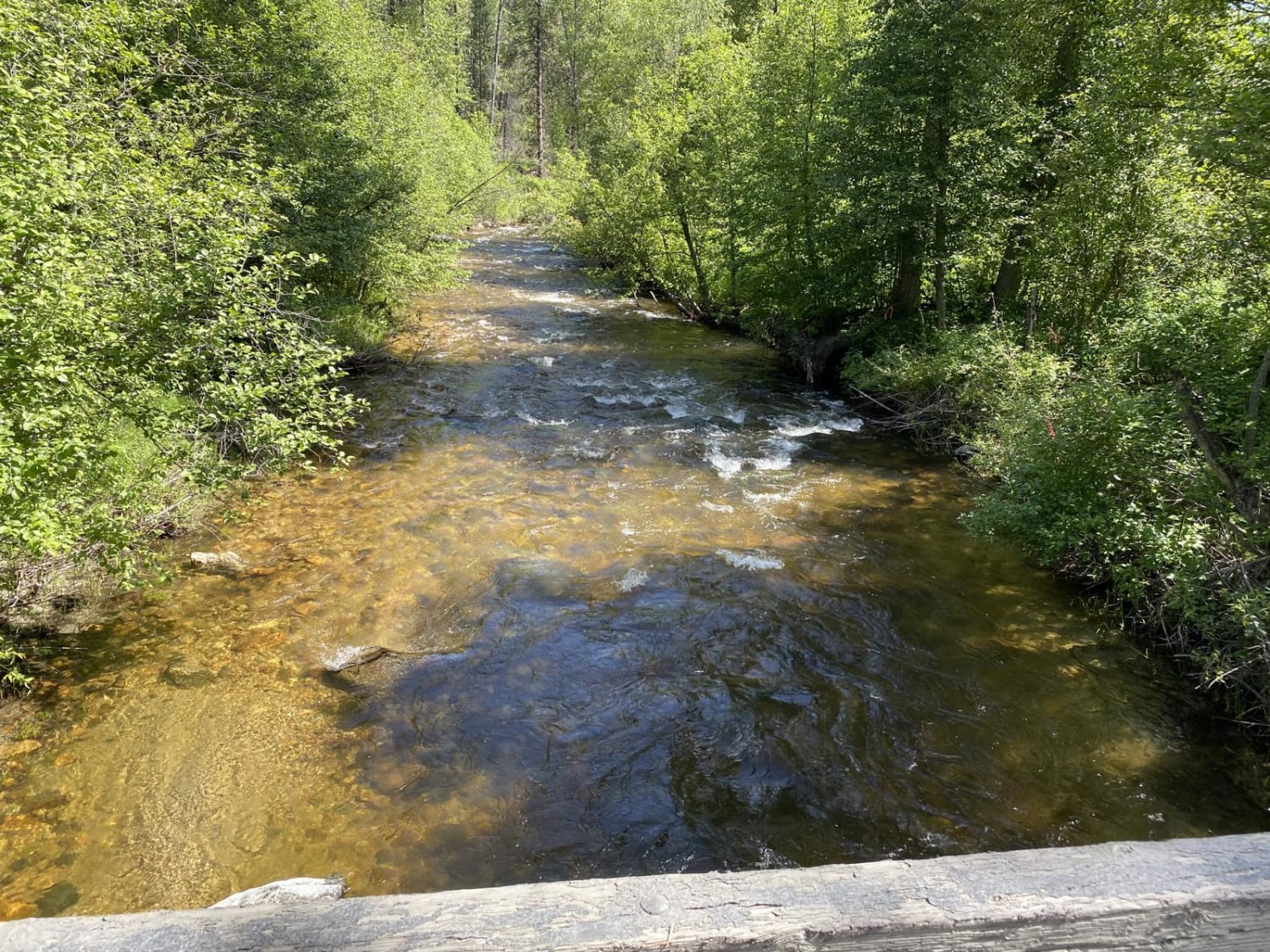
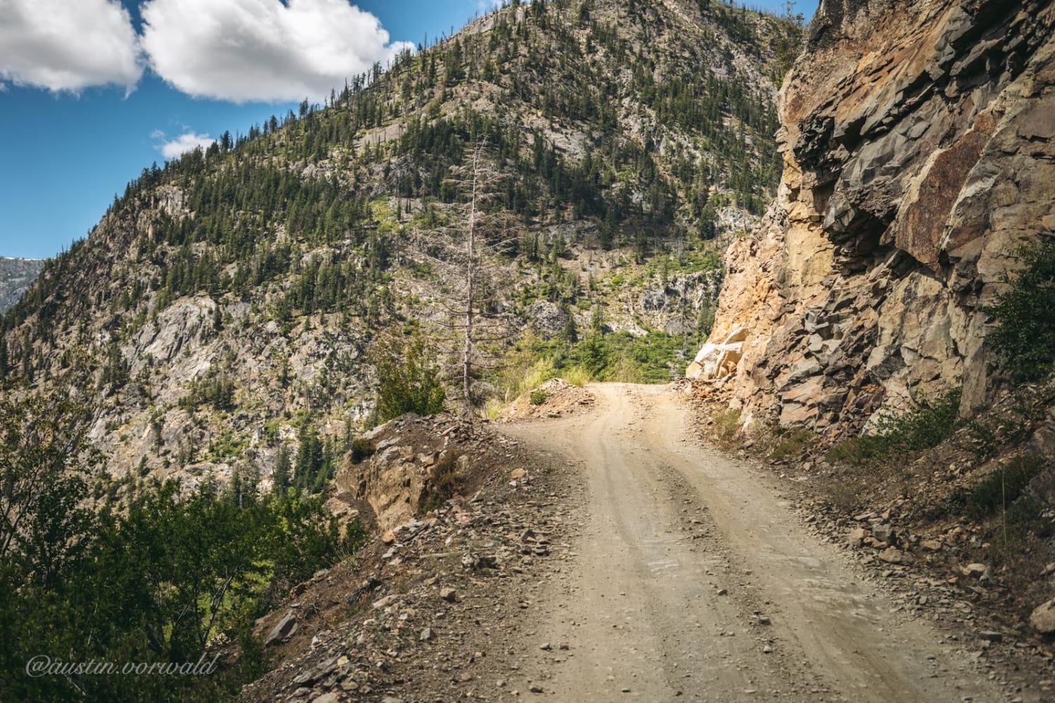
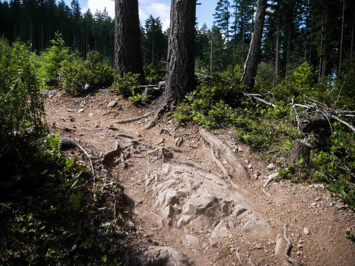
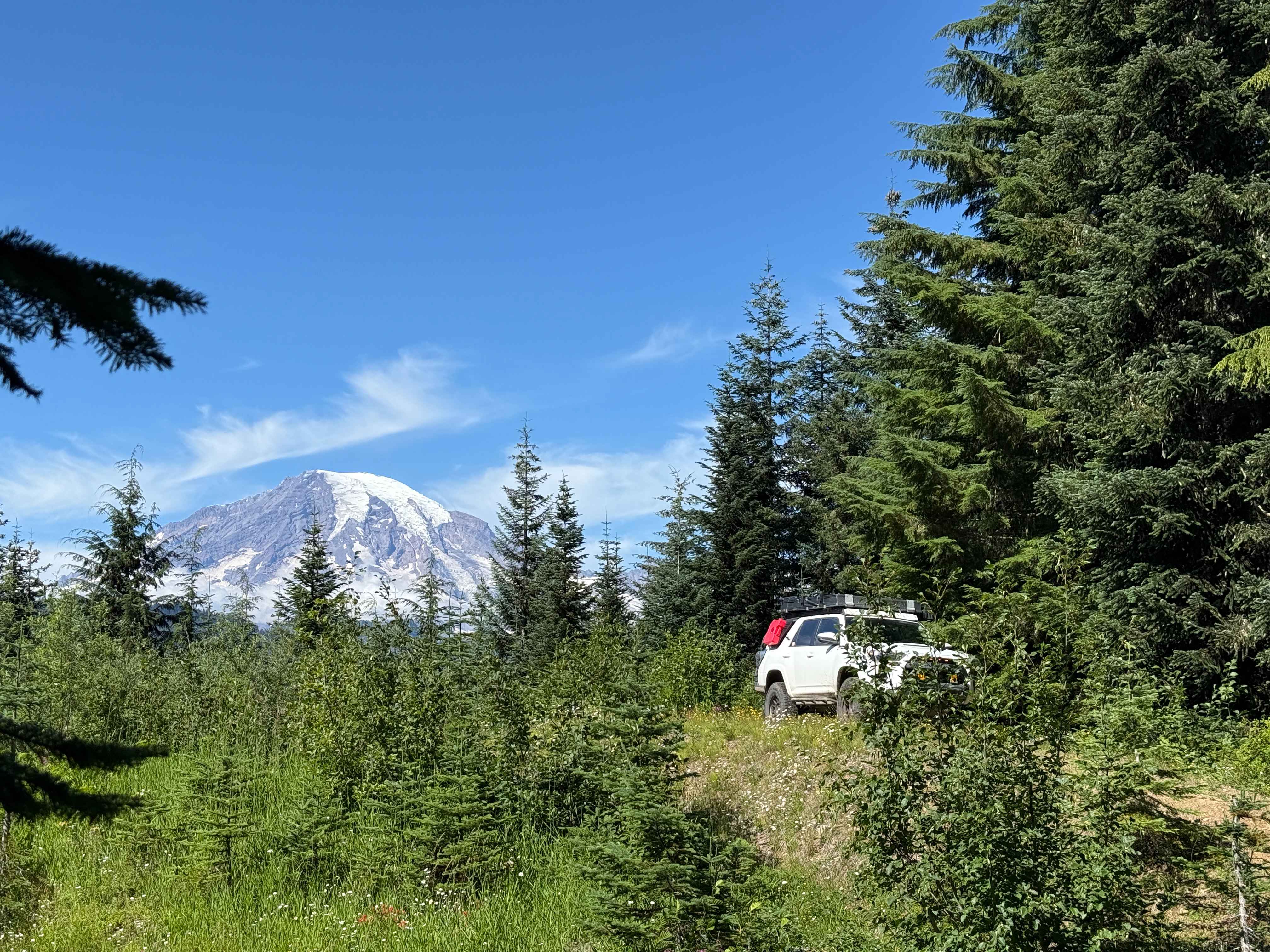
South Huckleberry Trail
Total Miles
4.2
Technical Rating
Best Time
Trail Type
60" Trail
Accessible By
Trail Overview
Portions of this mountain trail can be very challenging, but rating is ointermediate. Several sharp, steep, sweeping hairpin turns in loose dirt will be encountered. Expect downfall to be blocking trail. Take appropriate chain saws, axes, or bucksaws. Great views from on top of the trail after 3.3 miles. On the southern portion of the trail, there are some rocky pitches to negotiate.
Photos of South Huckleberry Trail

Status Reports
South Huckleberry Trail can be accessed by the following ride types:
- SxS (60")
- ATV (50")
- Dirt Bike
South Huckleberry Trail Map
Popular Trails
Hart's Pass Road 54

The onX Offroad Difference
onX Offroad combines trail photos, descriptions, difficulty ratings, width restrictions, seasonality, and more in a user-friendly interface. Available on all devices, with offline access and full compatibility with CarPlay and Android Auto. Discover what you’re missing today!