Loomis Forest Nine Mile
Total Miles
9.7
Technical Rating
Best Time
Summer
Trail Type
Full-Width Road
Accessible By
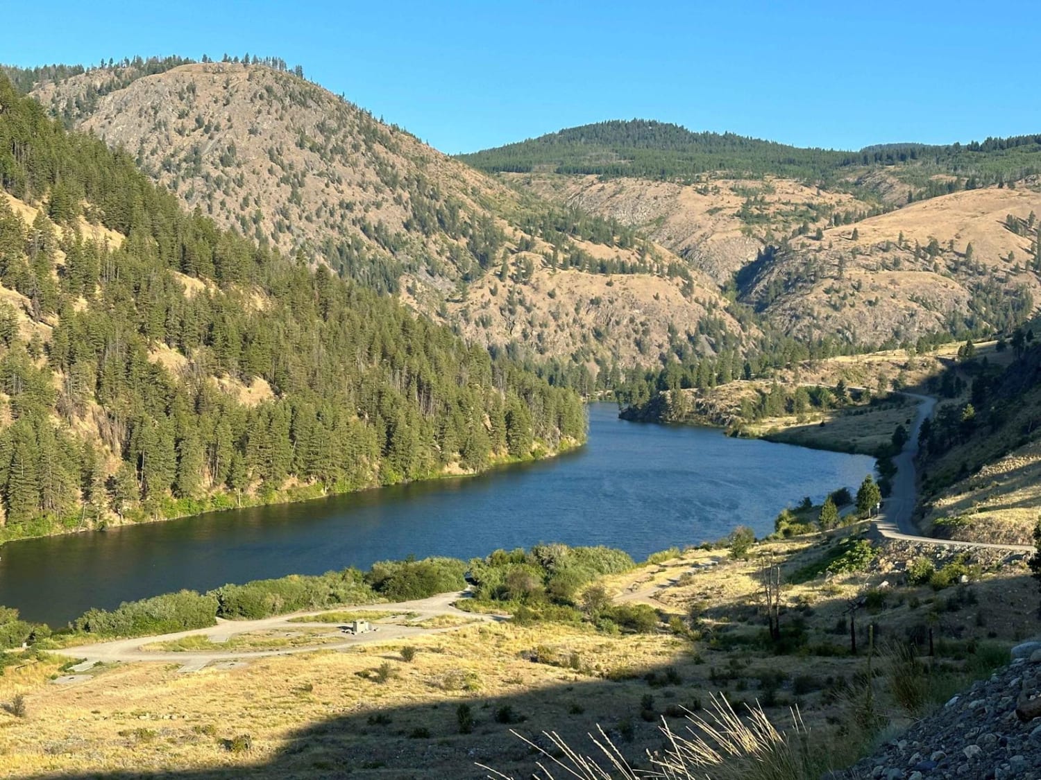
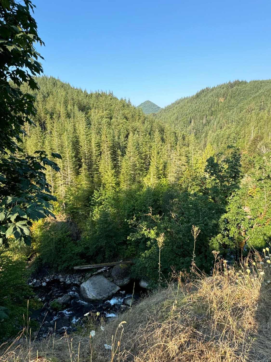
Trail Overview
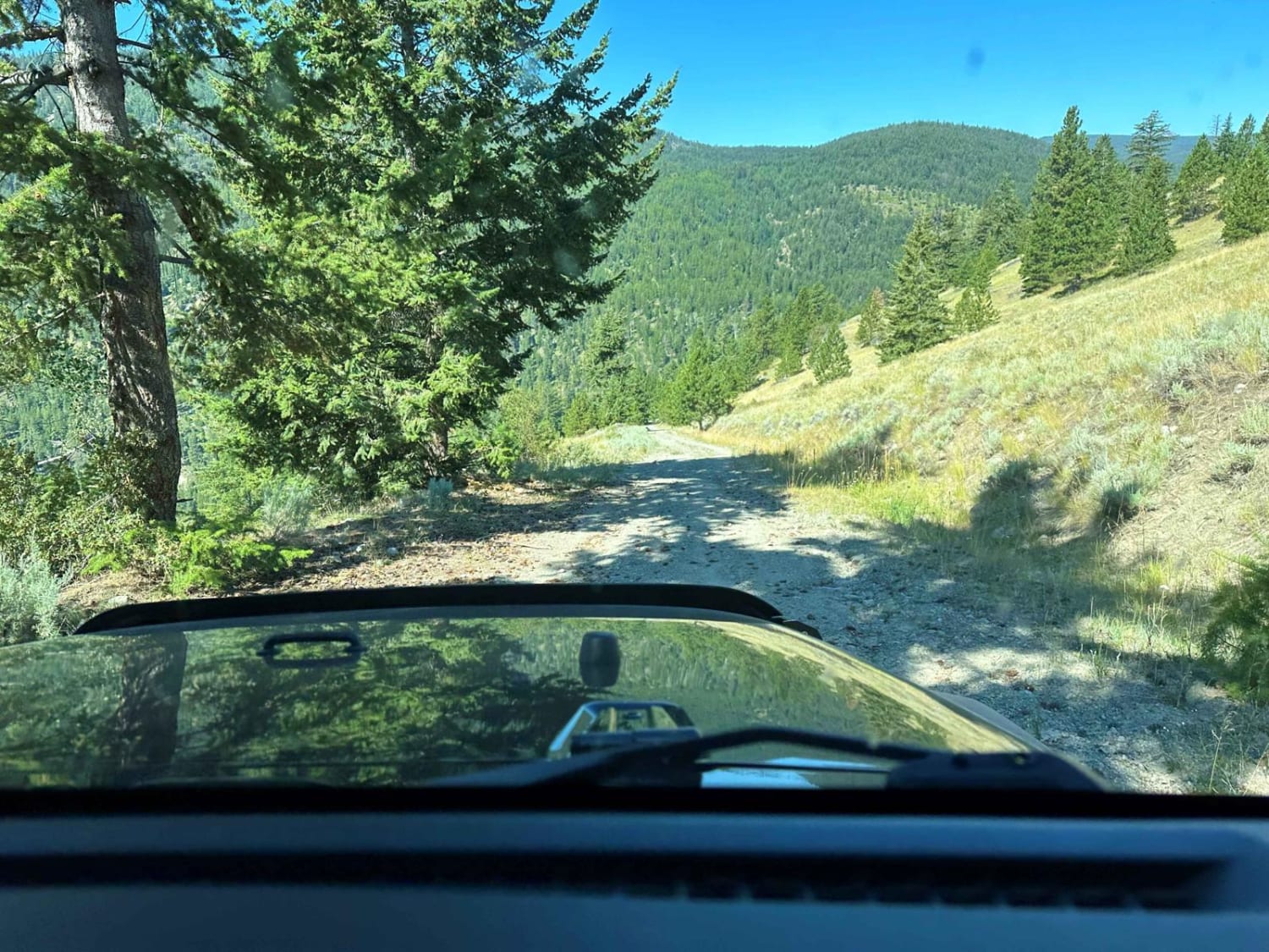
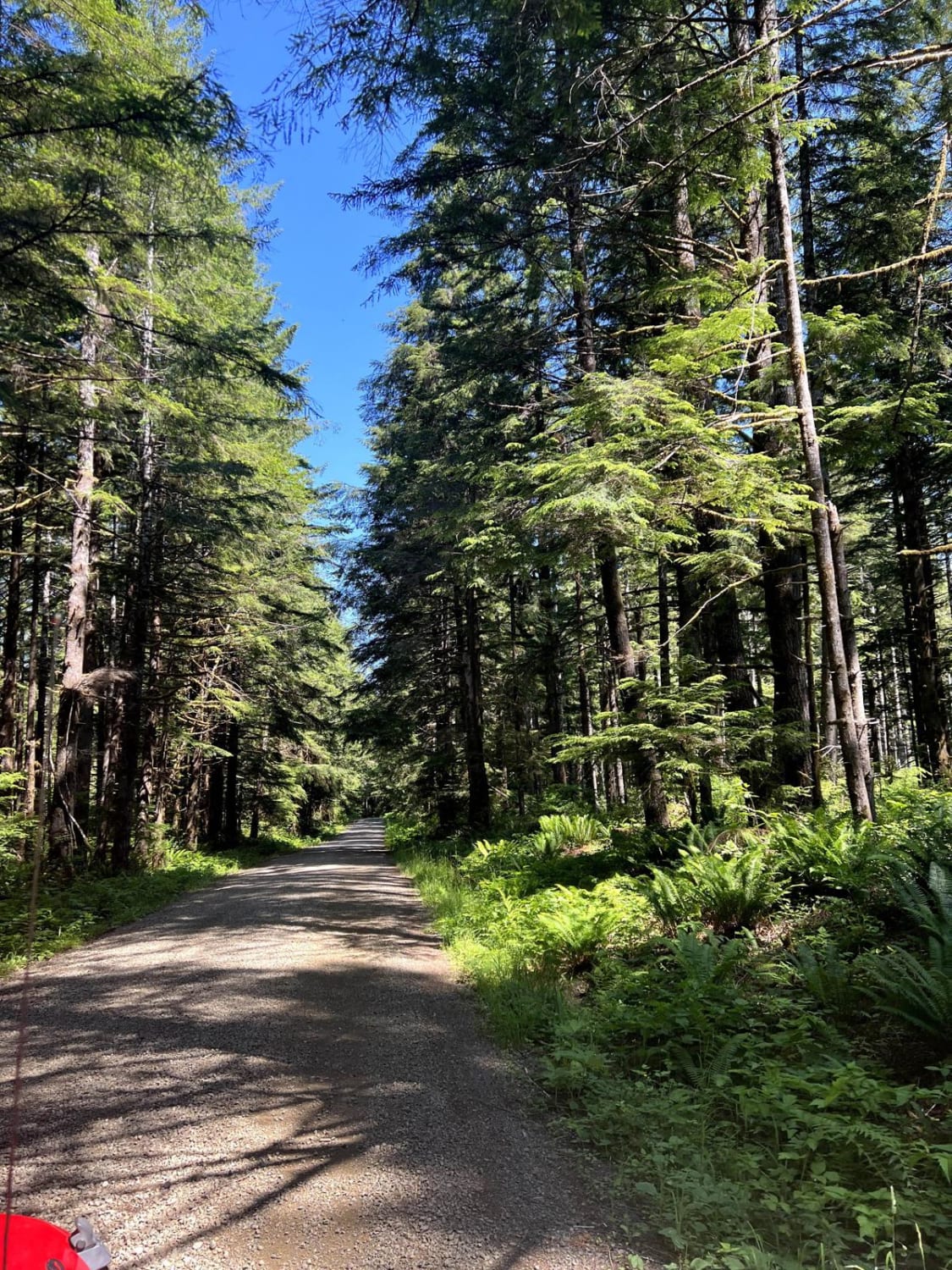
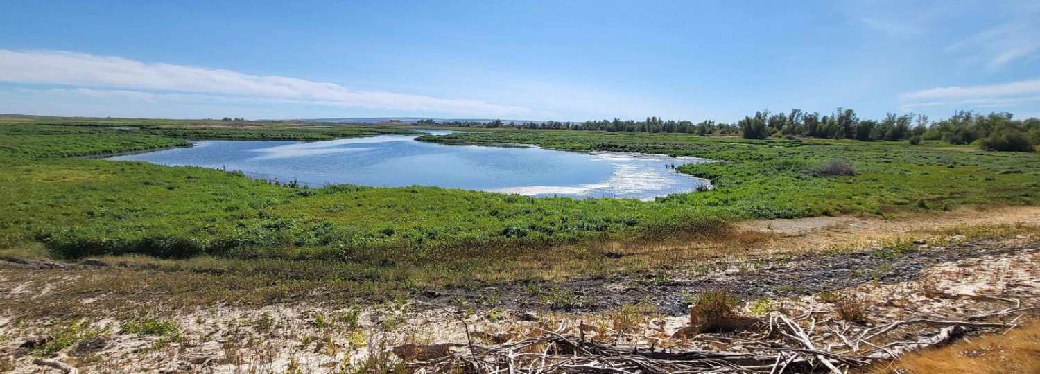
This trail connects with the Chopaka Lake Trail as well as local state and county roads in the Conconully and Loomis areas, with many mines in the area and quite a few lakes and campgrounds, plus all services in Conconully and limited services in Loomis. Dispersed camping as well as established campgrounds make this a great area for 4WD campers! It's all gravel with a few short paved sections, though some of the paving is covered with gravel so you need to be cautious, especially in Touts Coulee. Steep shelf roads are common, with high clearance recommended due to common wash-outs and rocky sections. This also links with the Ruby Grade down to Loup Loup for some great day trips! Stay on established roads-use OnX Offroad's property ownership data to avoid trespassing on mining claims and ranches!
Photos of Loomis Forest Nine Mile
Difficulty
High-clearance vehicles are recommended. Expect snow in fall, winter, and spring. This trail is dusty in summer with rutted gravel, so high-speed travel in 4WD is not recommended. It's dry country, so avoid parking in tall grass.
History
Most local roads are mining roads with modern use mainly being fishing, hunting, and camping.
Status Reports
Loomis Forest Nine Mile can be accessed by the following ride types:
- High-Clearance 4x4
- SUV
- SxS (60")
- ATV (50")
- Dirt Bike
Loomis Forest Nine Mile Map
Popular Trails
Pete's Creek Trail
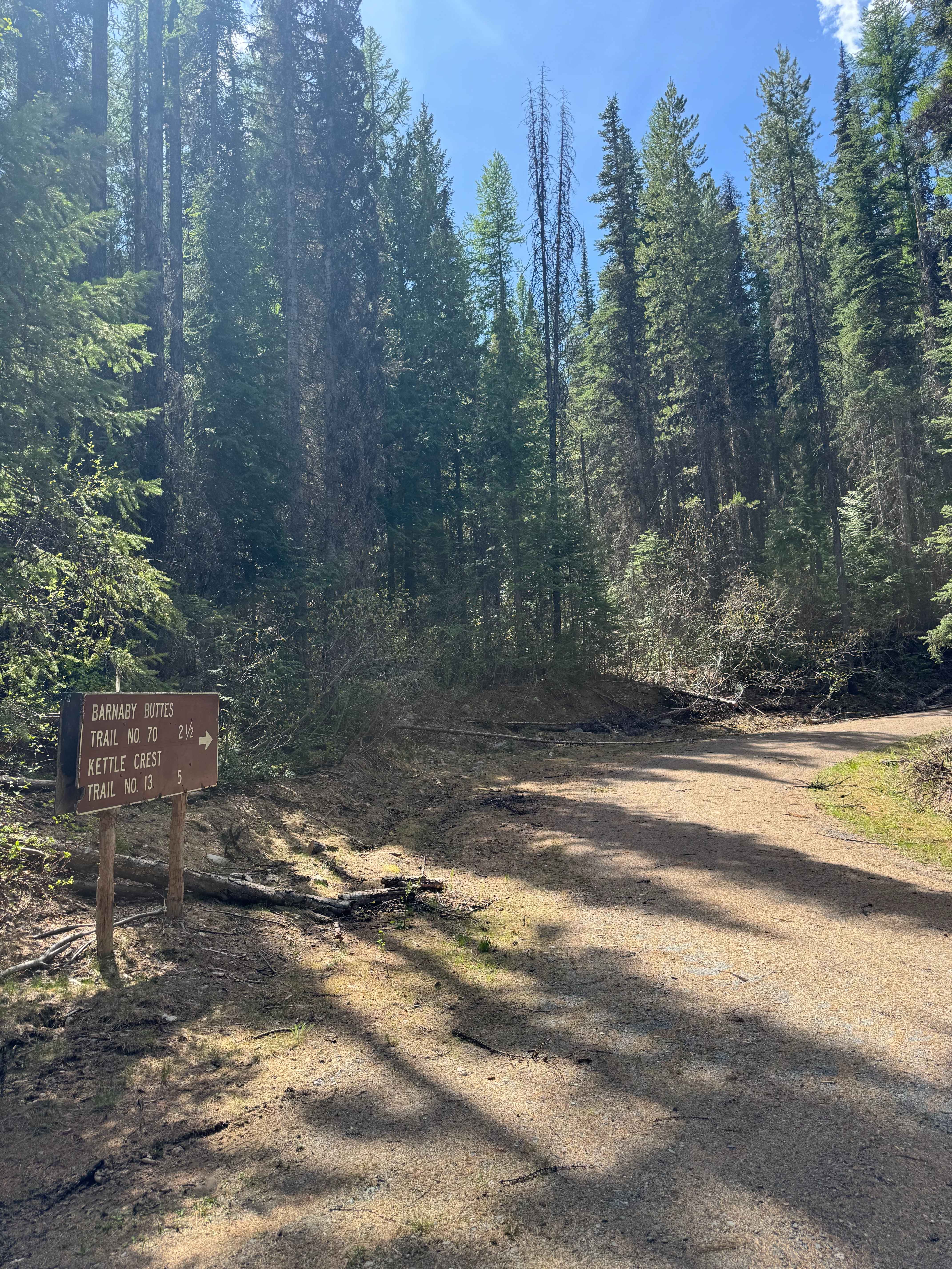
Barnaby Buttes Trail
The onX Offroad Difference
onX Offroad combines trail photos, descriptions, difficulty ratings, width restrictions, seasonality, and more in a user-friendly interface. Available on all devices, with offline access and full compatibility with CarPlay and Android Auto. Discover what you’re missing today!