Dixon Mountain
Total Miles
4.0
Technical Rating
Best Time
Summer, Spring, Fall
Trail Type
Full-Width Road
Accessible By
Trail Overview
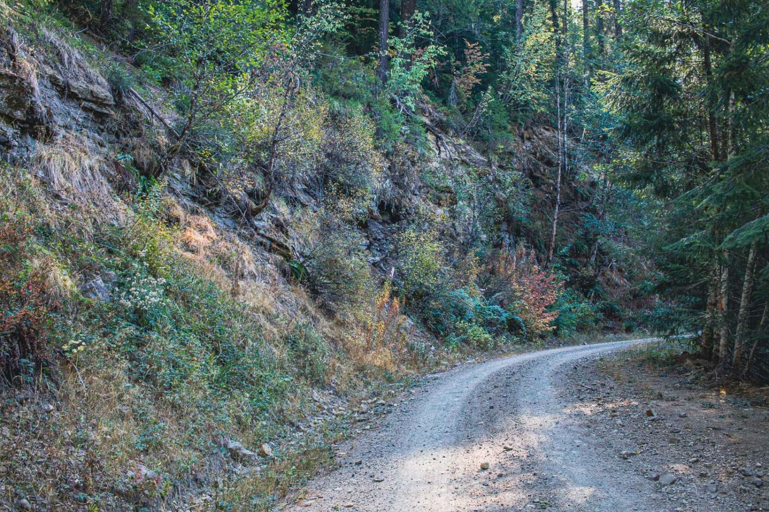
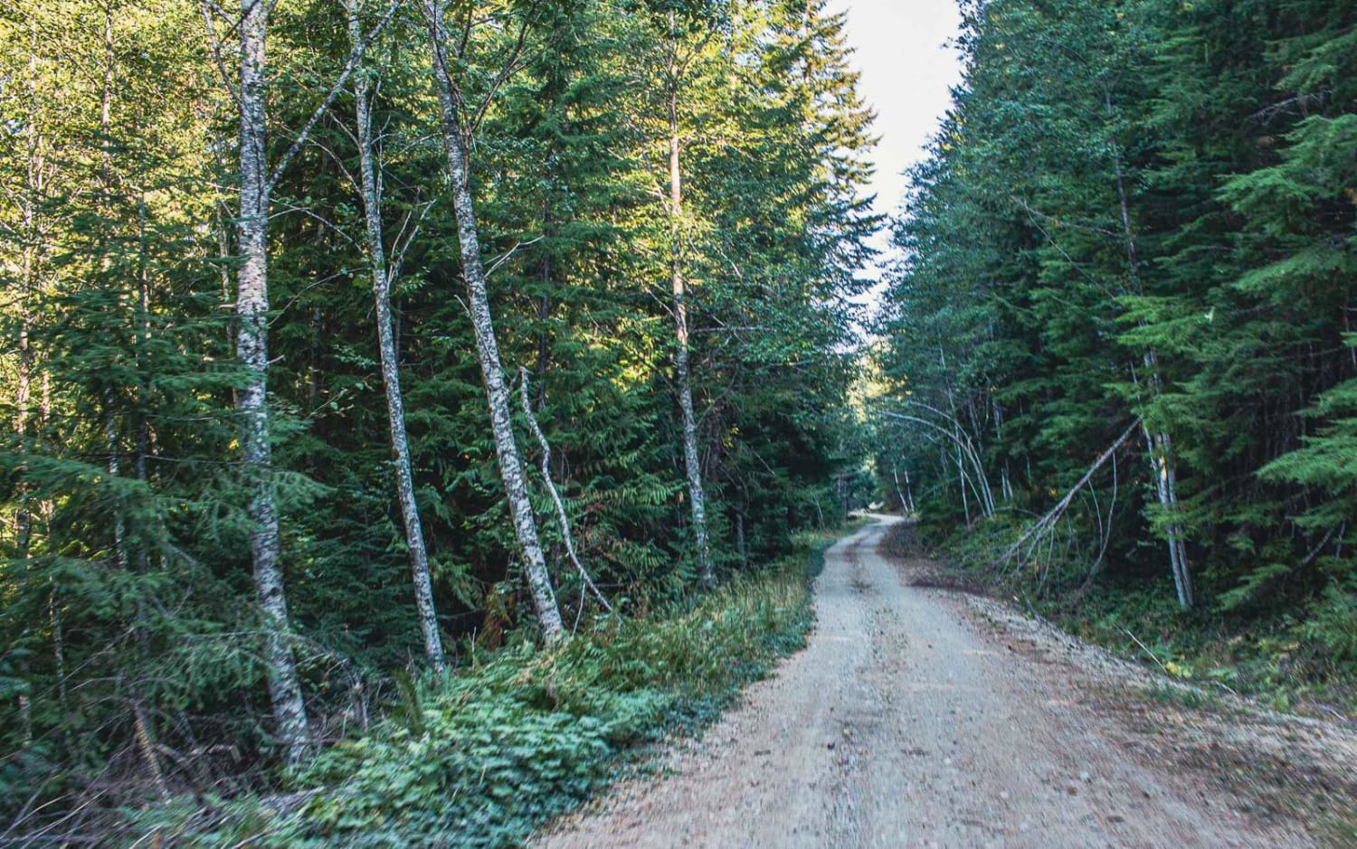
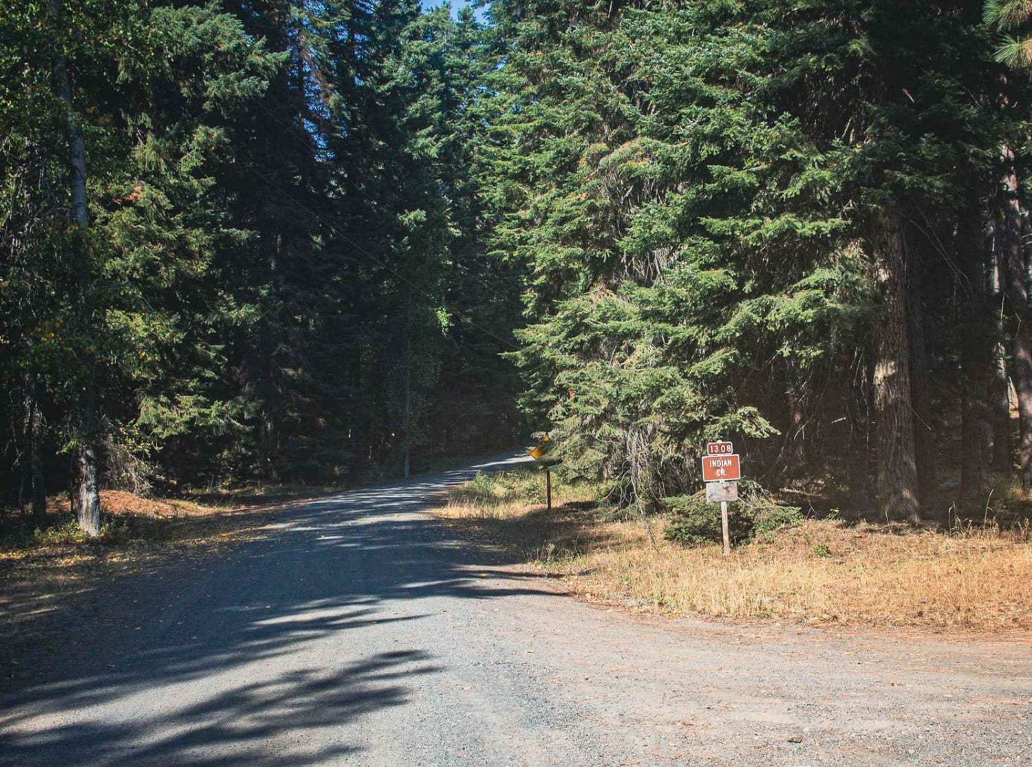
Dixon Mountain is a natural and gravel mixed surface road. The road runs through the Gifford Pinchot National. There are a couple of camping spots. The end of the road is a washed-out road, that still continues on for a bit more, but it becomes too narrow for a vehicle to make, but you could hike or bike up it just a little bit more. The road is not easy to turn around on as it's a one-lane road.
Photos of Dixon Mountain
Difficulty
Not winter maintained
Status Reports
Dixon Mountain can be accessed by the following ride types:
- High-Clearance 4x4
- SUV
- SxS (60")
- ATV (50")
- Dirt Bike
Dixon Mountain Map
Popular Trails

Dry Copper Creek Road

Sadie Creek South ATV Loop

Poison Gulch Run
The onX Offroad Difference
onX Offroad combines trail photos, descriptions, difficulty ratings, width restrictions, seasonality, and more in a user-friendly interface. Available on all devices, with offline access and full compatibility with CarPlay and Android Auto. Discover what you’re missing today!