Canyon Ridge Road
Total Miles
6.9
Technical Rating
Best Time
Spring, Summer, Fall
Trail Type
Full-Width Road
Accessible By
Trail Overview
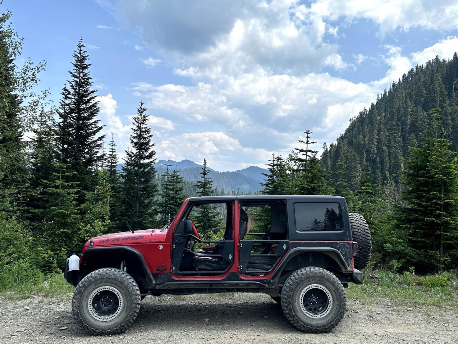
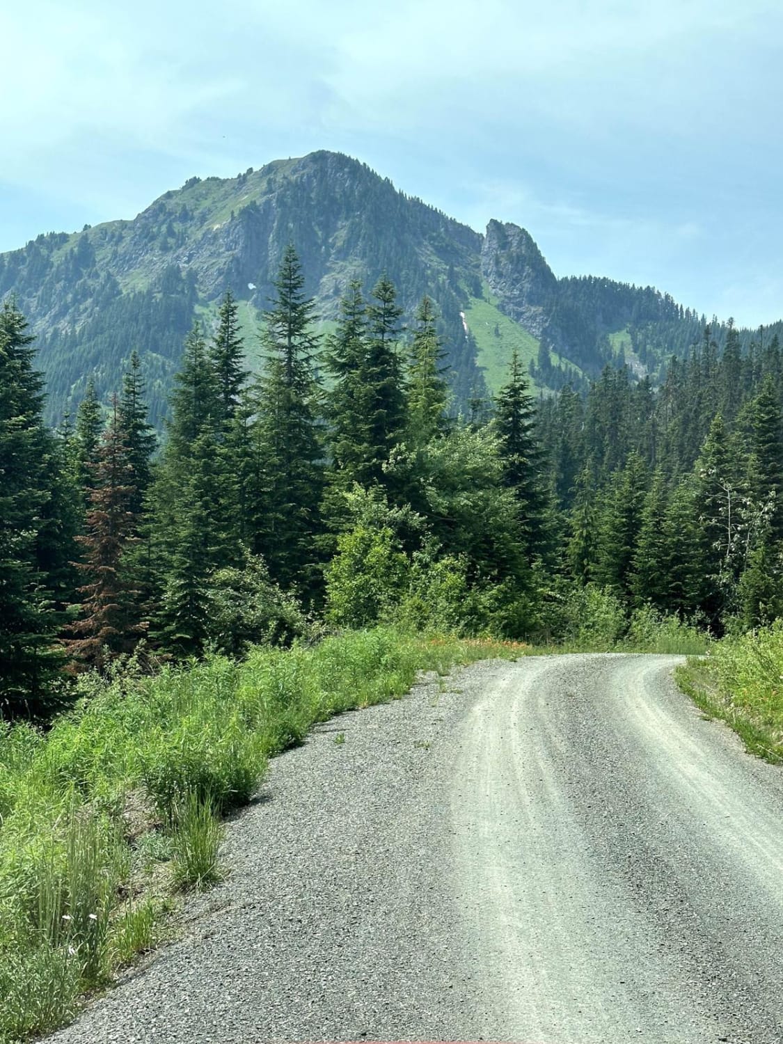
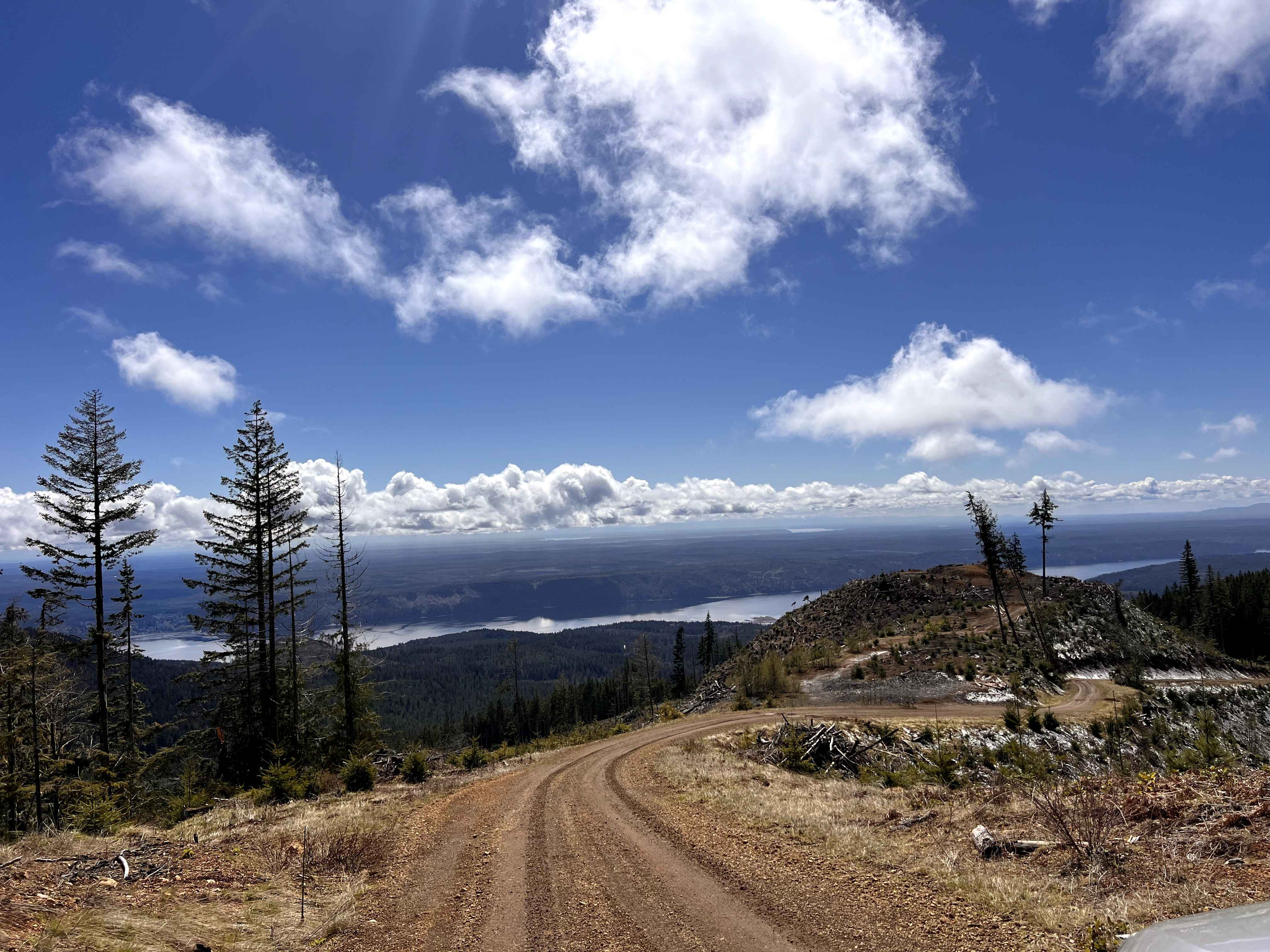
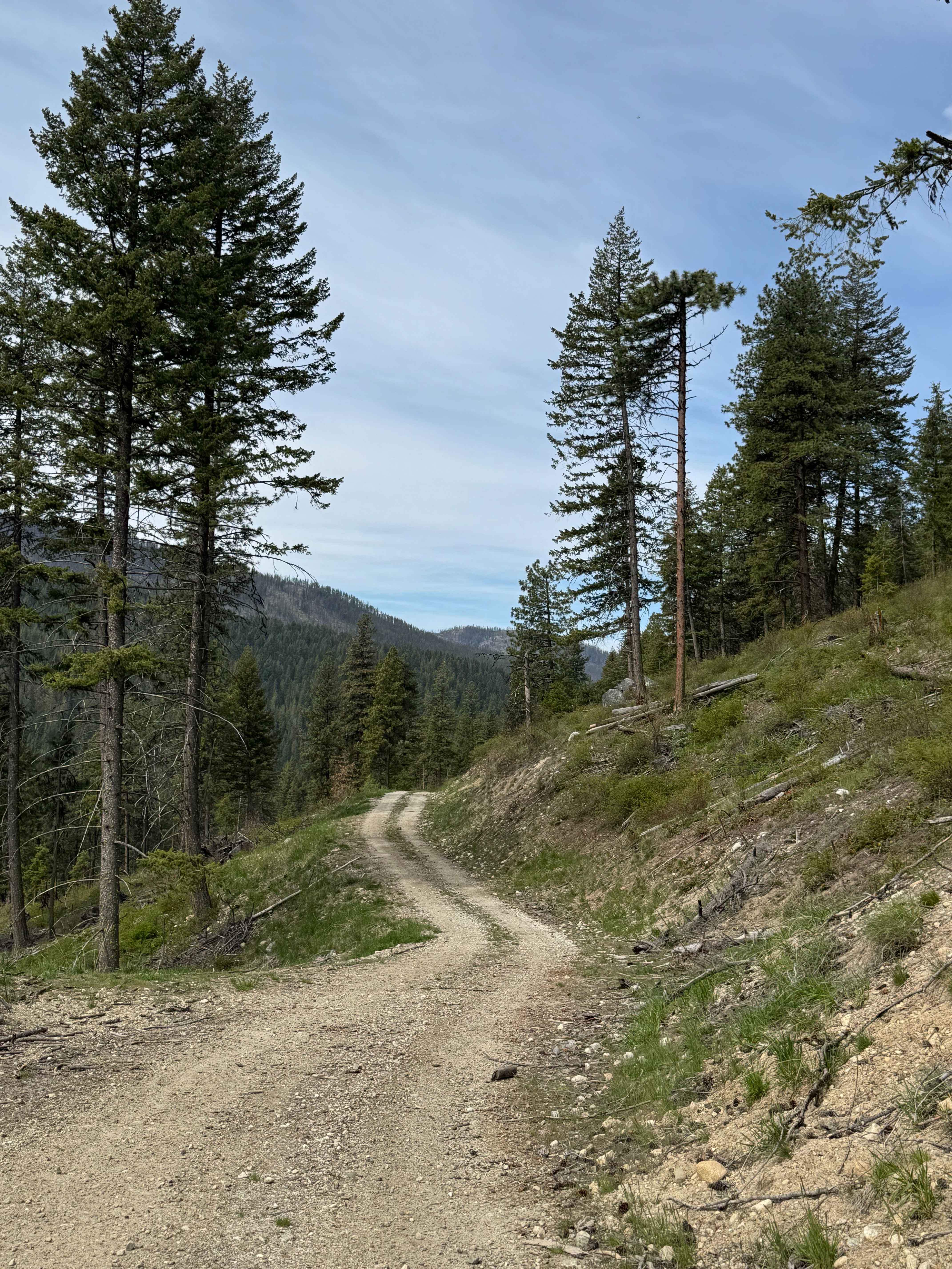
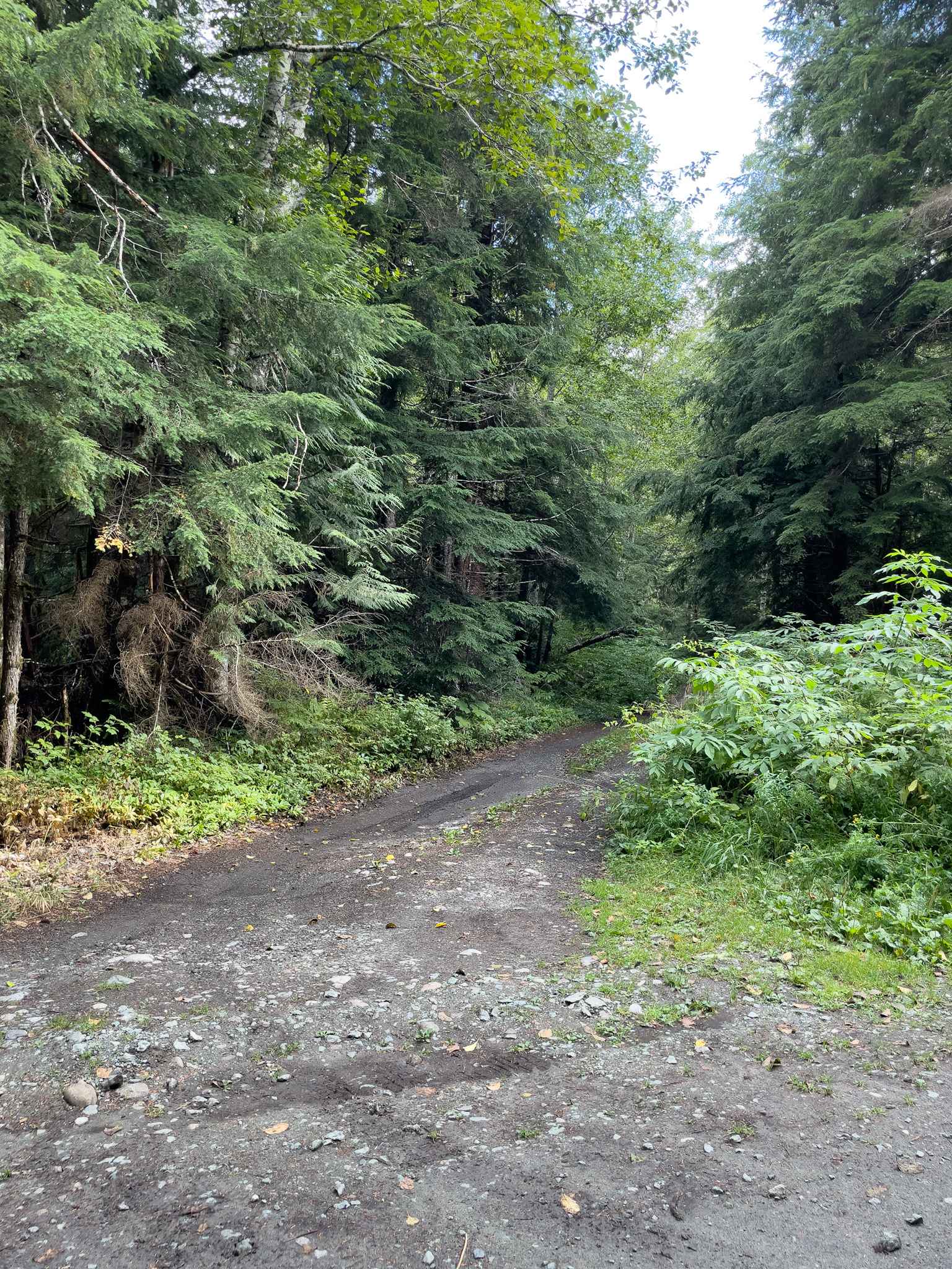
This 14-mile out-and-back trail climbs up to the canyon Ridgeline and ends at the canyon ridge trailhead (motorcycle trail). This trail gives great views of Bald Mountain and the Canyon valley area. There is a dispersed camping area along this road. The trail starts paved and then is a gravel forest road the rest of the way. Expect overgrown bushes. This road is passable by 2WD, AWD, and 4WD vehicles.
Photos of Canyon Ridge Road
Difficulty
This trail is a single vehicle road with shallow mud holes.
Status Reports
Canyon Ridge Road can be accessed by the following ride types:
- High-Clearance 4x4
- SUV
- SxS (60")
- ATV (50")
- Dirt Bike
Canyon Ridge Road Map
Popular Trails
Olympic Heights
Tamarack Spring Trail

Kilborn Creek
The onX Offroad Difference
onX Offroad combines trail photos, descriptions, difficulty ratings, width restrictions, seasonality, and more in a user-friendly interface. Available on all devices, with offline access and full compatibility with CarPlay and Android Auto. Discover what you’re missing today!