Tamarack Spring Trail
Total Miles
1.6
Technical Rating
Best Time
Spring, Summer, Fall
Trail Type
Full-Width Road
Accessible By
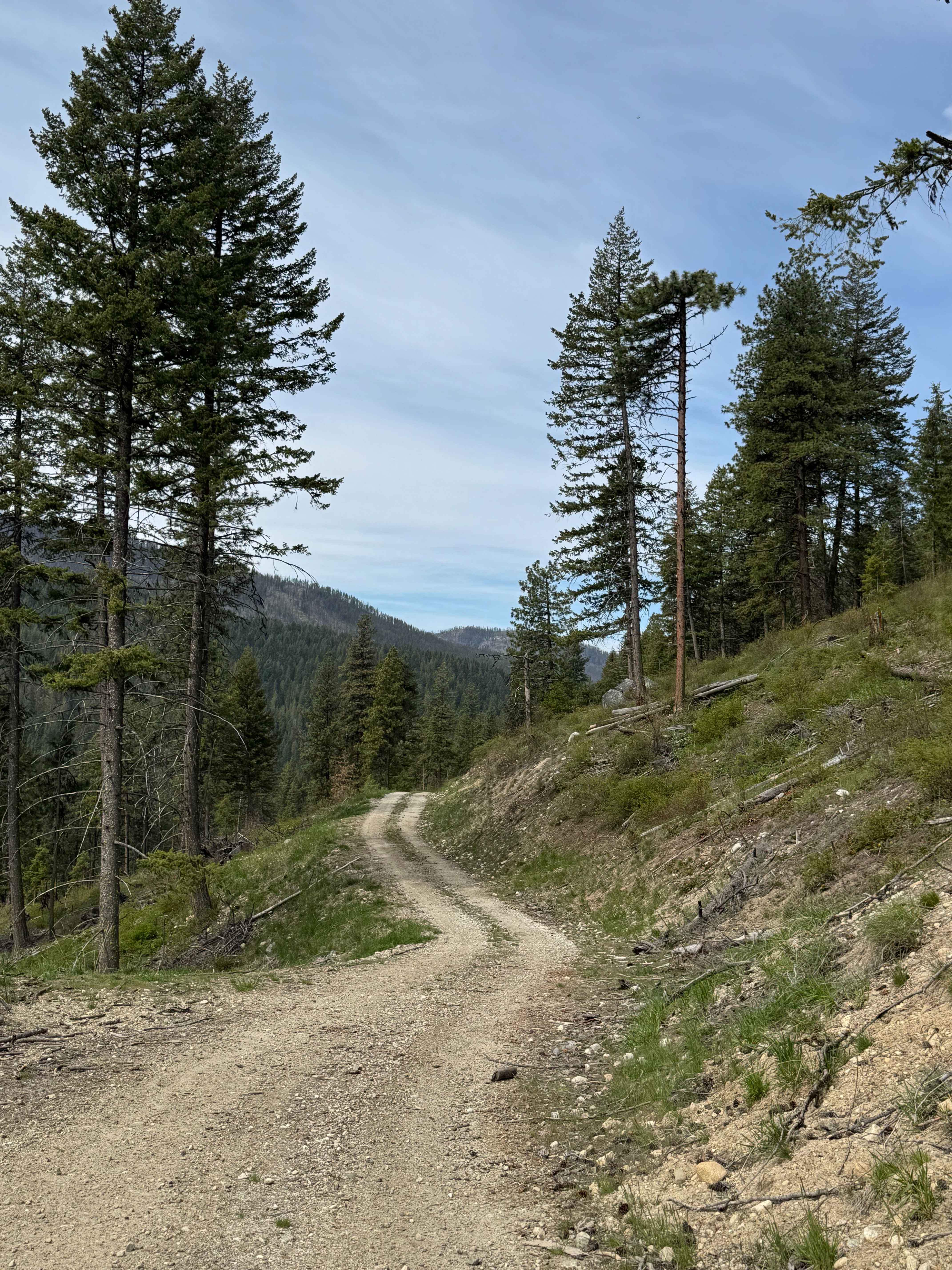
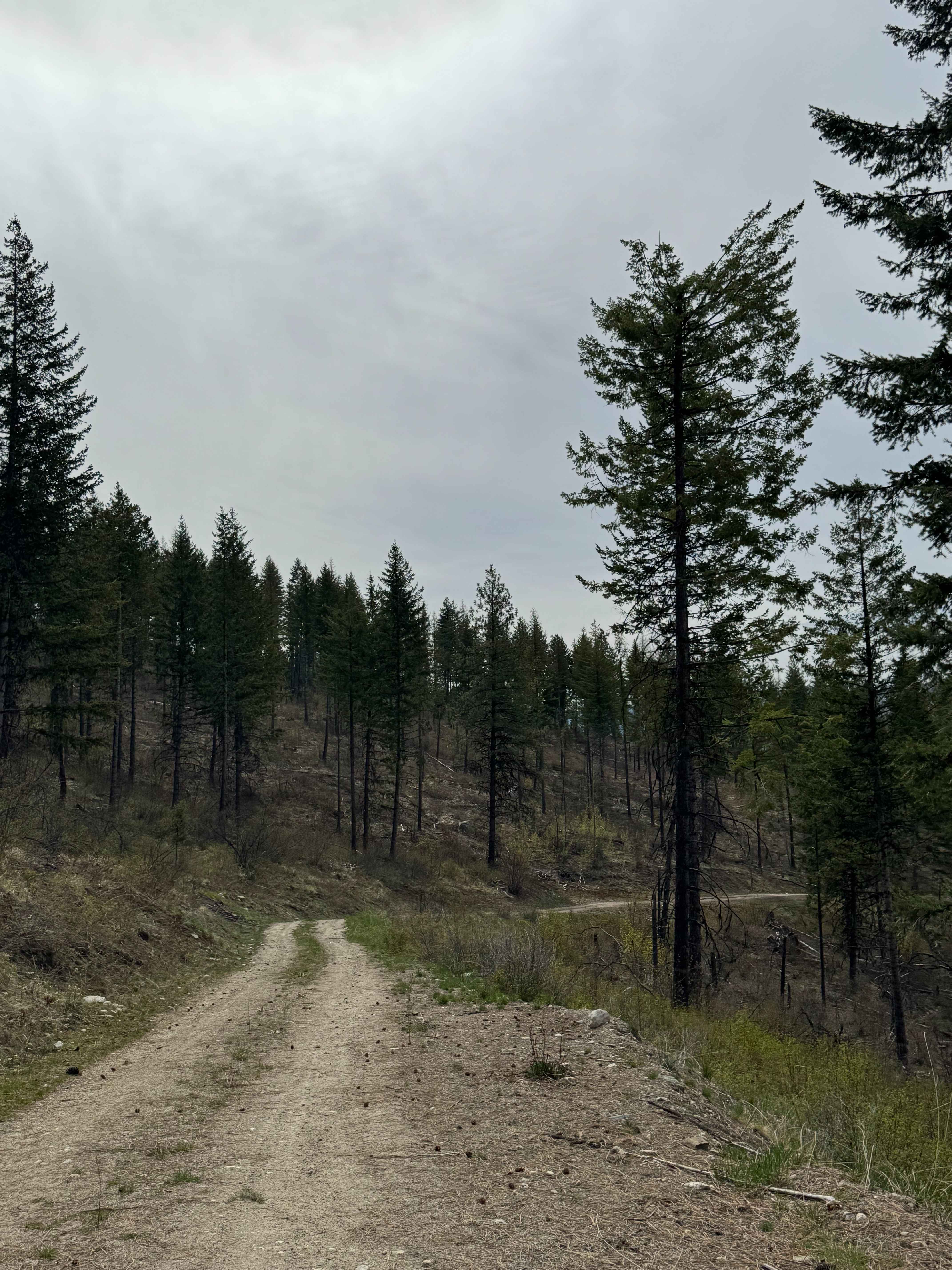
Trail Overview
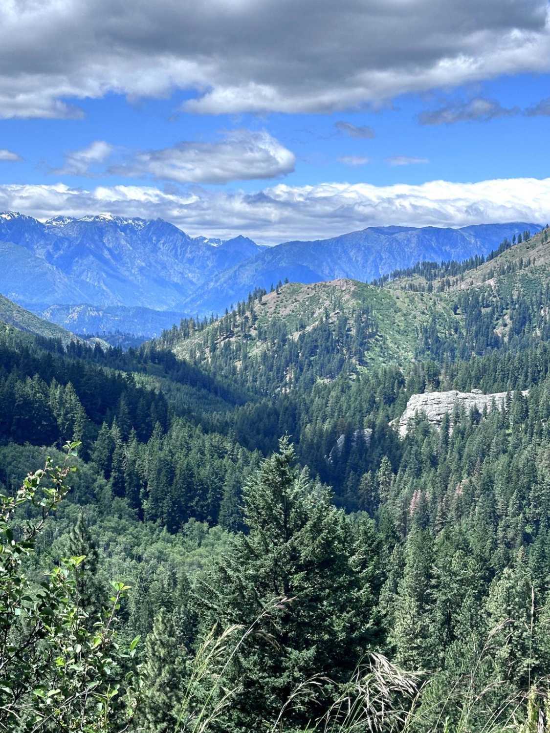
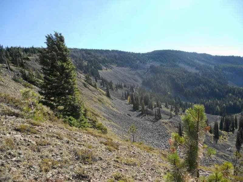
This gravel-based 2-track forest road leads up the ridge to Tamarack Spring from the East North Boulder Ridge Trail. The trail is one vehicle wide with a ledge, but has room to pass in the switchback. Once you make it to the top, the Spring feeds water into a livestock water trough. You will have views for miles of the surrounding peaks from the top. There are no amenities on this trail other than the spring itself. You are approximately 25 miles from services in Kettle Falls, Washington, at the end of this trail. Any vehicle type should have no issue traveling this trail. Cell phone service was weak, so you may want to download the offline map beforehand.
Photos of Tamarack Spring Trail
Difficulty
Gravel-based 2-track forest road, one lane wide, with a ledge that leads up to Tamarack Spring. Any vehicle could traverse this trail.
Status Reports
Tamarack Spring Trail can be accessed by the following ride types:
- High-Clearance 4x4
- SUV
- SxS (60")
- ATV (50")
- Dirt Bike
Tamarack Spring Trail Map
Popular Trails

1180 and 1182

Yozoo Trail - #276
Derby Canyon Road
Mill Gultch 4W326
The onX Offroad Difference
onX Offroad combines trail photos, descriptions, difficulty ratings, width restrictions, seasonality, and more in a user-friendly interface. Available on all devices, with offline access and full compatibility with CarPlay and Android Auto. Discover what you’re missing today!