Beaver Summit Road - FS 4230
Total Miles
13.2
Technical Rating
Best Time
Spring, Summer, Fall, Winter
Trail Type
Full-Width Road
Accessible By
Trail Overview
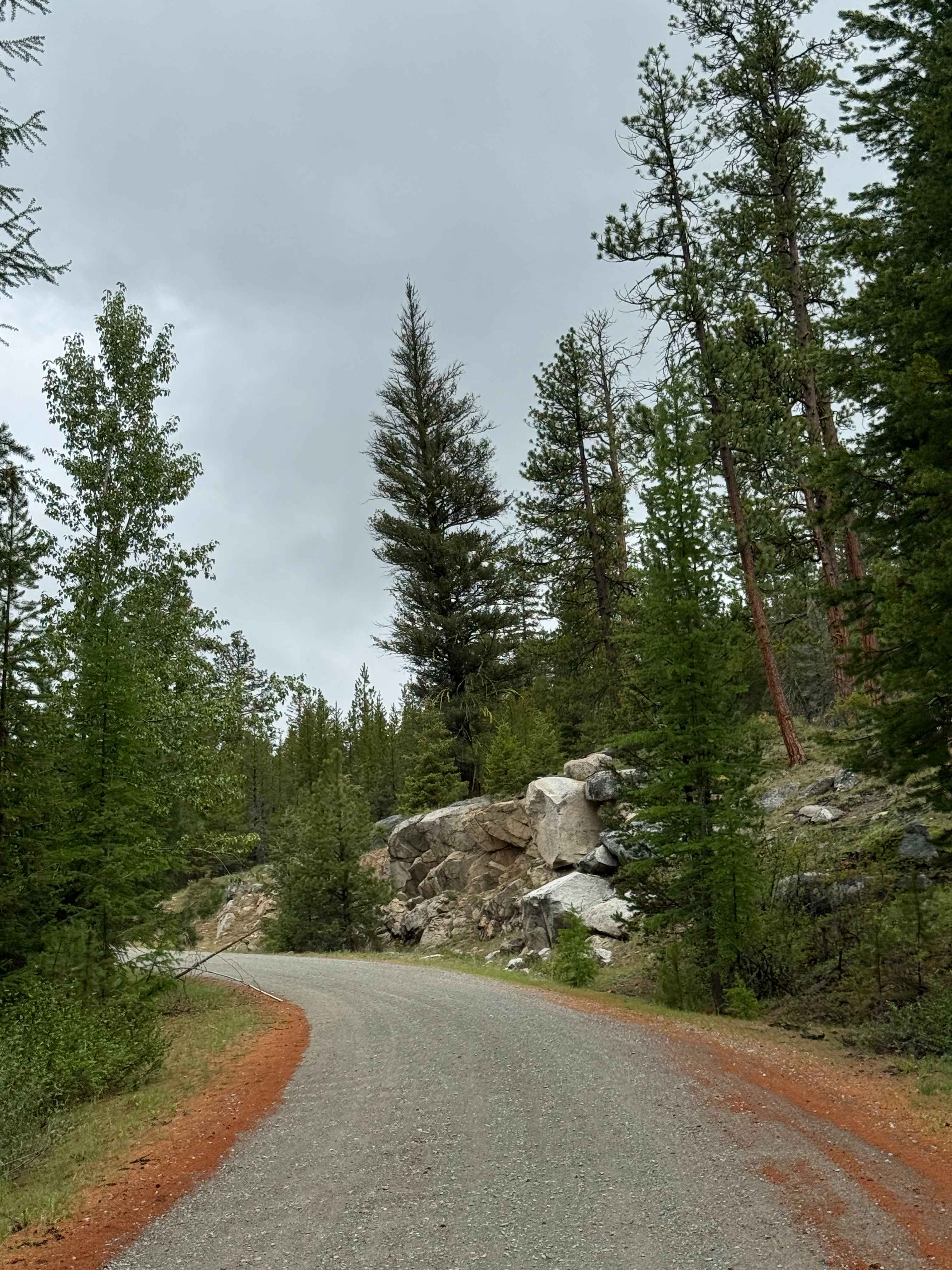
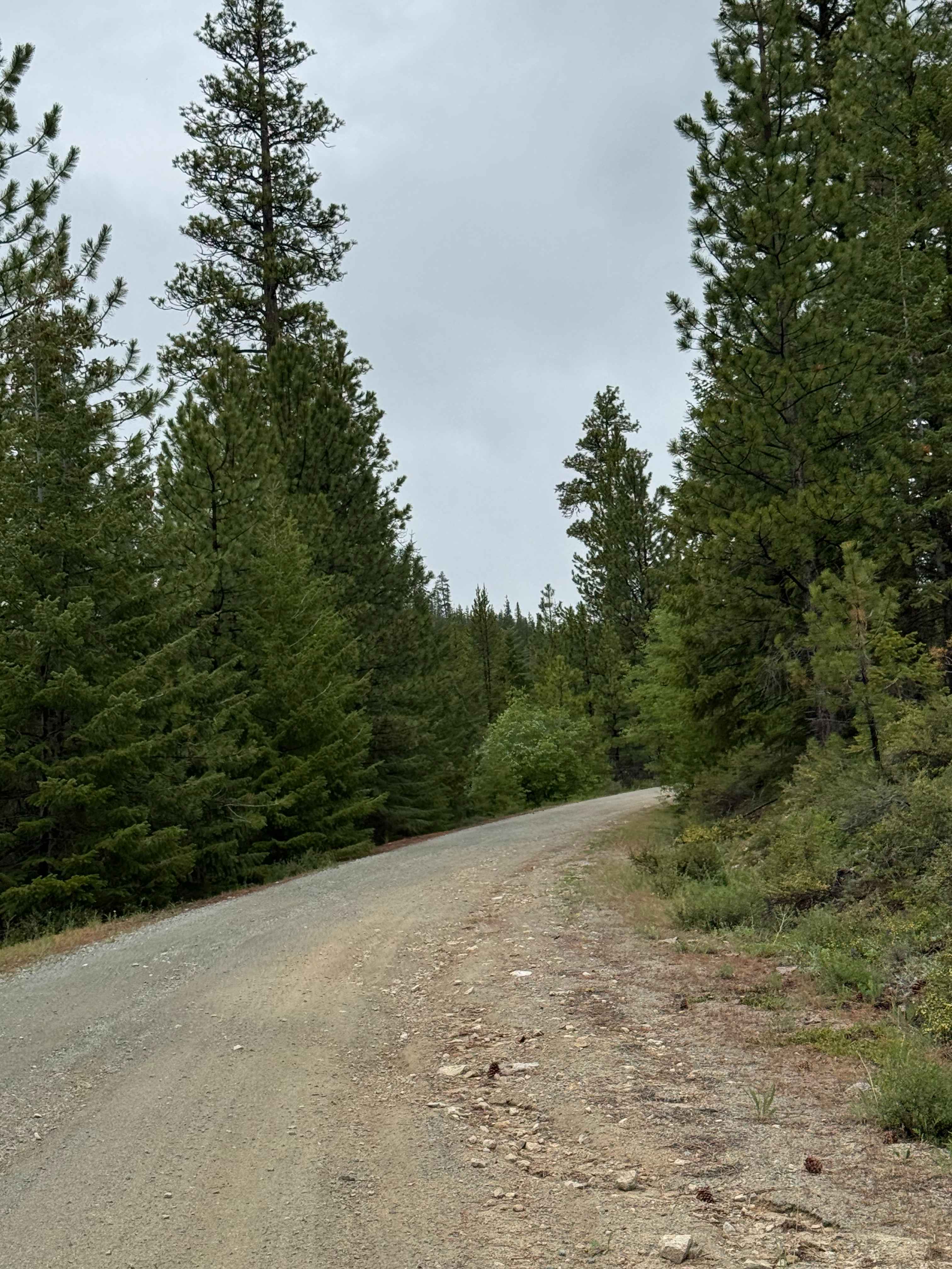
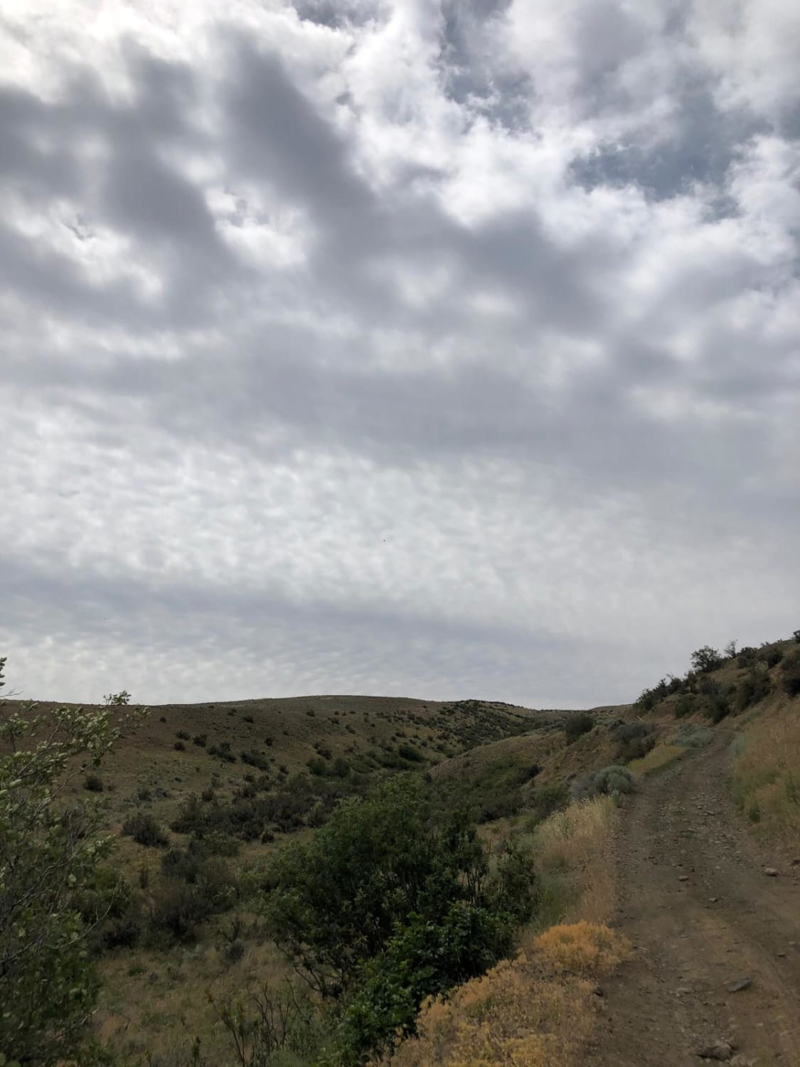
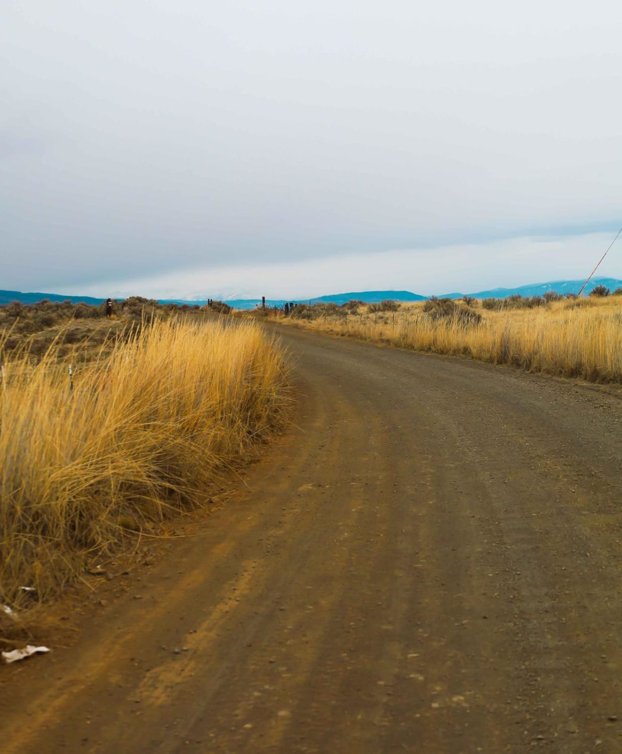
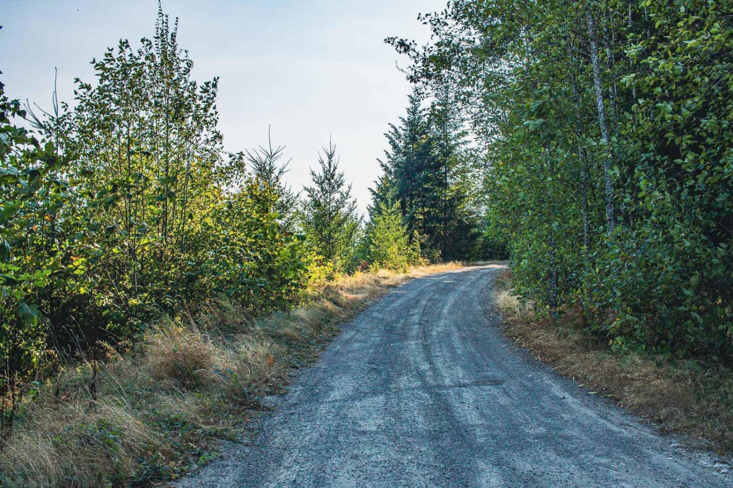
This forest road starts off gravel-based and wide with bumpy washboard sections. About halfway, the trail transitions to dirt with a few gravel patches. The further you travel, the trail gets narrower, and the vegetation becomes overgrown. Ultimately, you end up on mostly two-track with no room to pass. There are switchbacks and turns with ledges and drop-offs, as well as some dips and humps up to a foot. There are minor ruts and washouts, but overall the trail is easy and suitable for any vehicle type. There are great views of the surrounding peaks as you wind up this shelf-style road. Camping is available along this entire route, and the trail dead ends at a large dispersed campsite. The cell phone service was weak, and there are no amenities along the trail, so it would be beneficial to download the offline map. The town of Winthrop, Washington, is the closest town with services and supplies, approximately 30 minutes away.
Photos of Beaver Summit Road - FS 4230
Difficulty
This is a forest road that starts off as a wide gravel road with washboard, then transitions to dirt with minor ruts and wash. The road narrows once it turns to dirt, and has tight trees and overgrown vegetation. There are switchbacks and drop-offs as well. Most vehicle types should be able to traverse this trail.
Status Reports
Beaver Summit Road - FS 4230 can be accessed by the following ride types:
- High-Clearance 4x4
- SUV
- SxS (60")
- ATV (50")
- Dirt Bike
Beaver Summit Road - FS 4230 Map
Popular Trails
Newlands Road
Durr Road to Umtanum Creek Camp

Soap Lake Road to Heart Lake
The onX Offroad Difference
onX Offroad combines trail photos, descriptions, difficulty ratings, width restrictions, seasonality, and more in a user-friendly interface. Available on all devices, with offline access and full compatibility with CarPlay and Android Auto. Discover what you’re missing today!