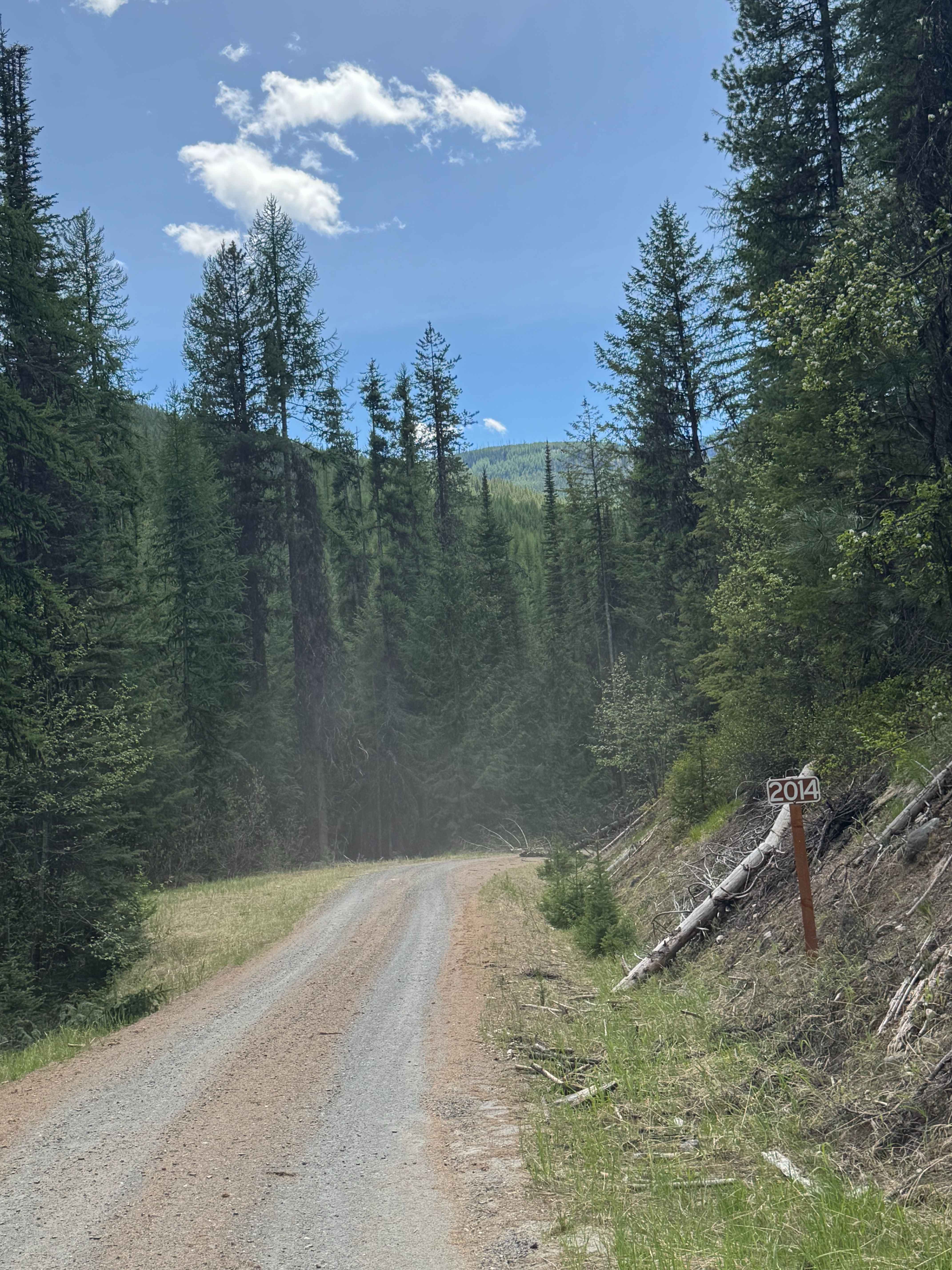
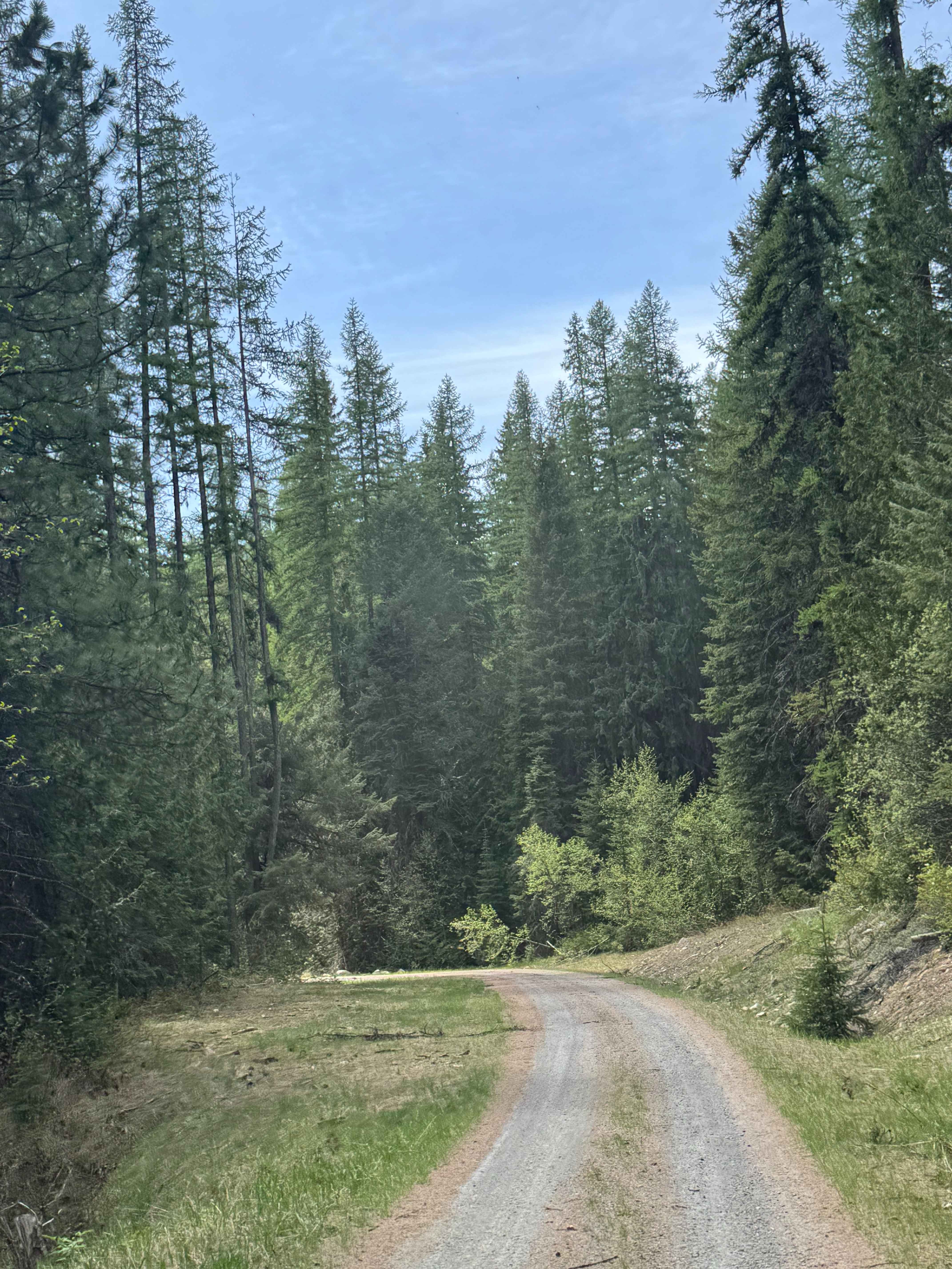
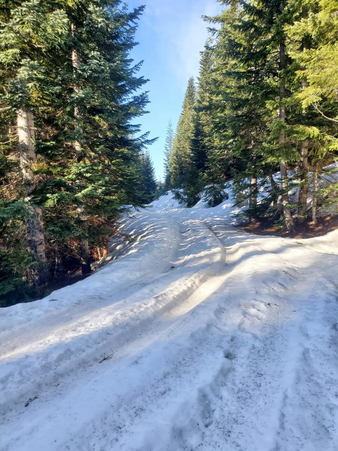
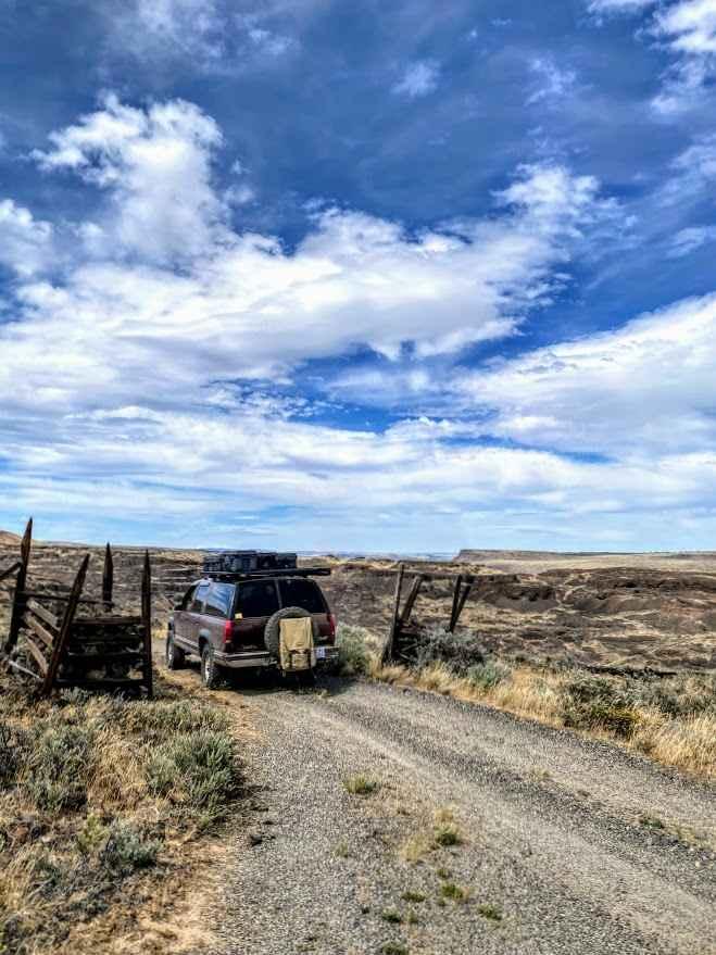
Barnaby Creek - FS 2014-000
Total Miles
7.7
Technical Rating
Best Time
Spring, Summer, Fall
Trail Type
Full-Width Road
Accessible By
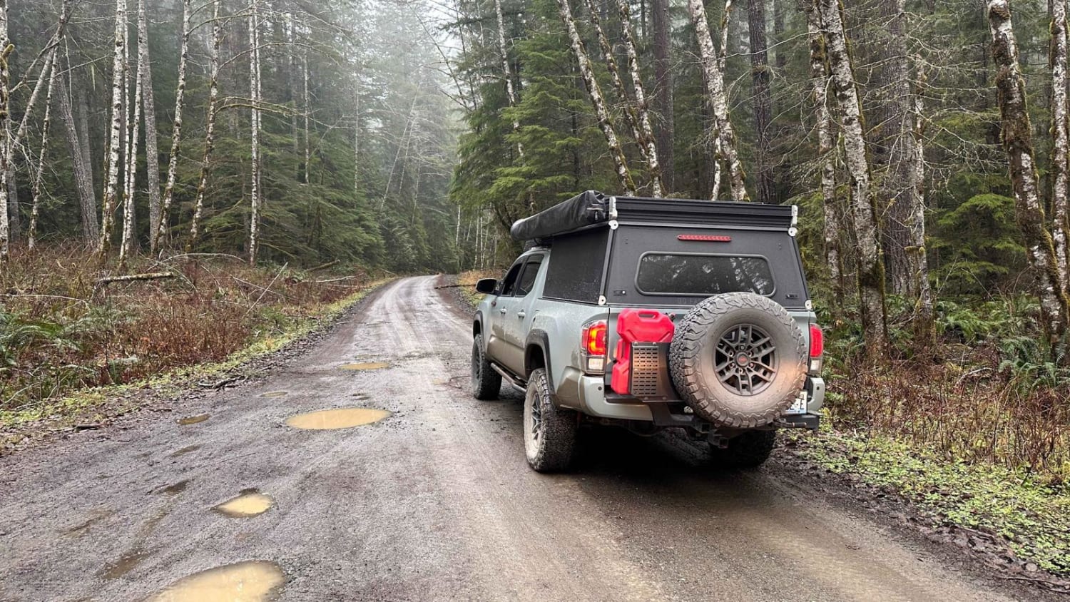
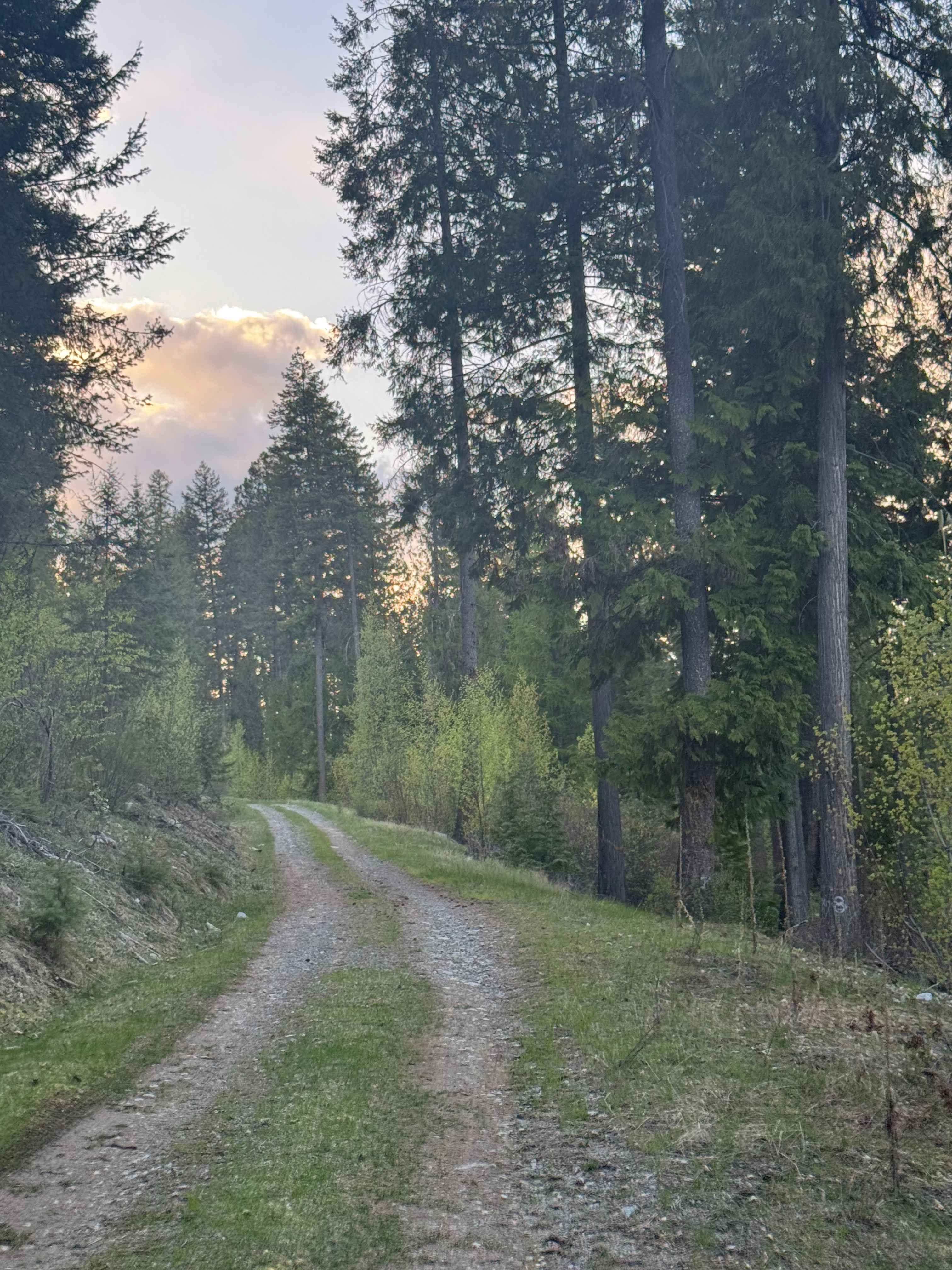
Trail Overview
This is a gravel-based forest road. The trail climbs approximately 1,250 feet in elevation over more than 7 miles. Most of the trail is narrow, one lane wide, two-track with places to pass. There are switchbacks and ledges with drop-offs as you travel alongside Barnaby Creek. You will have views of the surrounding peaks, ridges, and some rock faces. Camping is allowed along this entire trail, and there are many dispersed camping pull-off sites with pre-existing fire rings. Cell phone service was poor, and there are no amenities on the trail, so you should travel prepared with all needed supplies. The nearest services and supplies are approximately 40 minutes away in Kettle Falls, Washington.
Photos of Barnaby Creek - FS 2014-000
Difficulty
Smooth, gravel forest road that travels alongside Barnaby Creek. There are some sections with ledges and switchbacks, and minor ruts/washouts. Overall, this is a generally easy trail suitable for any vehicle type.
Status Reports
Barnaby Creek - FS 2014-000 can be accessed by the following ride types:
- High-Clearance 4x4
- SUV
- SxS (60")
- ATV (50")
- Dirt Bike
Barnaby Creek - FS 2014-000 Map
Popular Trails
Jackknife Ridge Road
NF 2850 to Blyn
McKinley Mountain - FS 1500-045
The onX Offroad Difference
onX Offroad combines trail photos, descriptions, difficulty ratings, width restrictions, seasonality, and more in a user-friendly interface. Available on all devices, with offline access and full compatibility with CarPlay and Android Auto. Discover what you’re missing today!