J4
Total Miles
0.9
Technical Rating
Best Time
Fall, Spring, Summer, Winter
Trail Type
High-Clearance 4x4 Trail
Accessible By
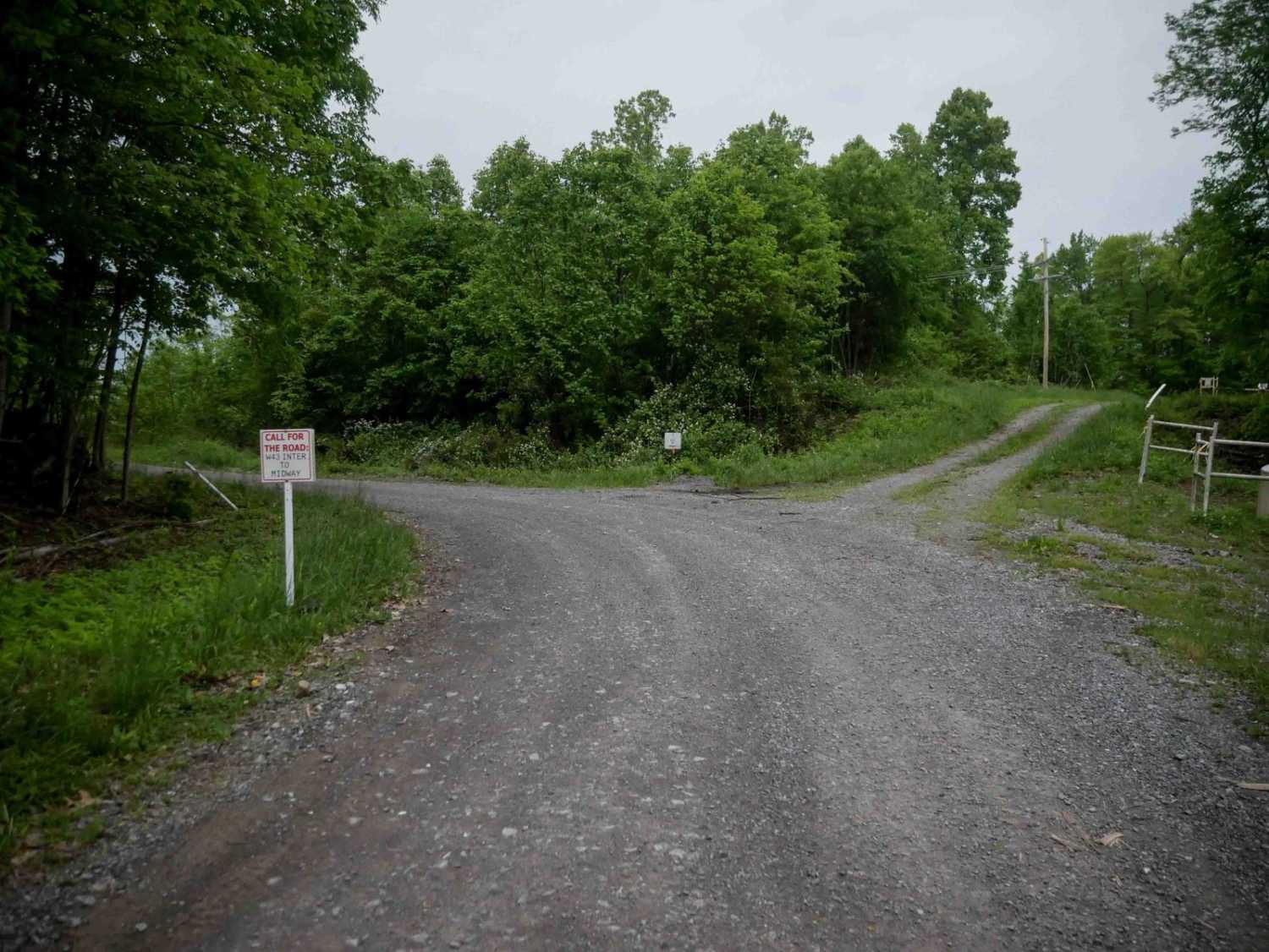
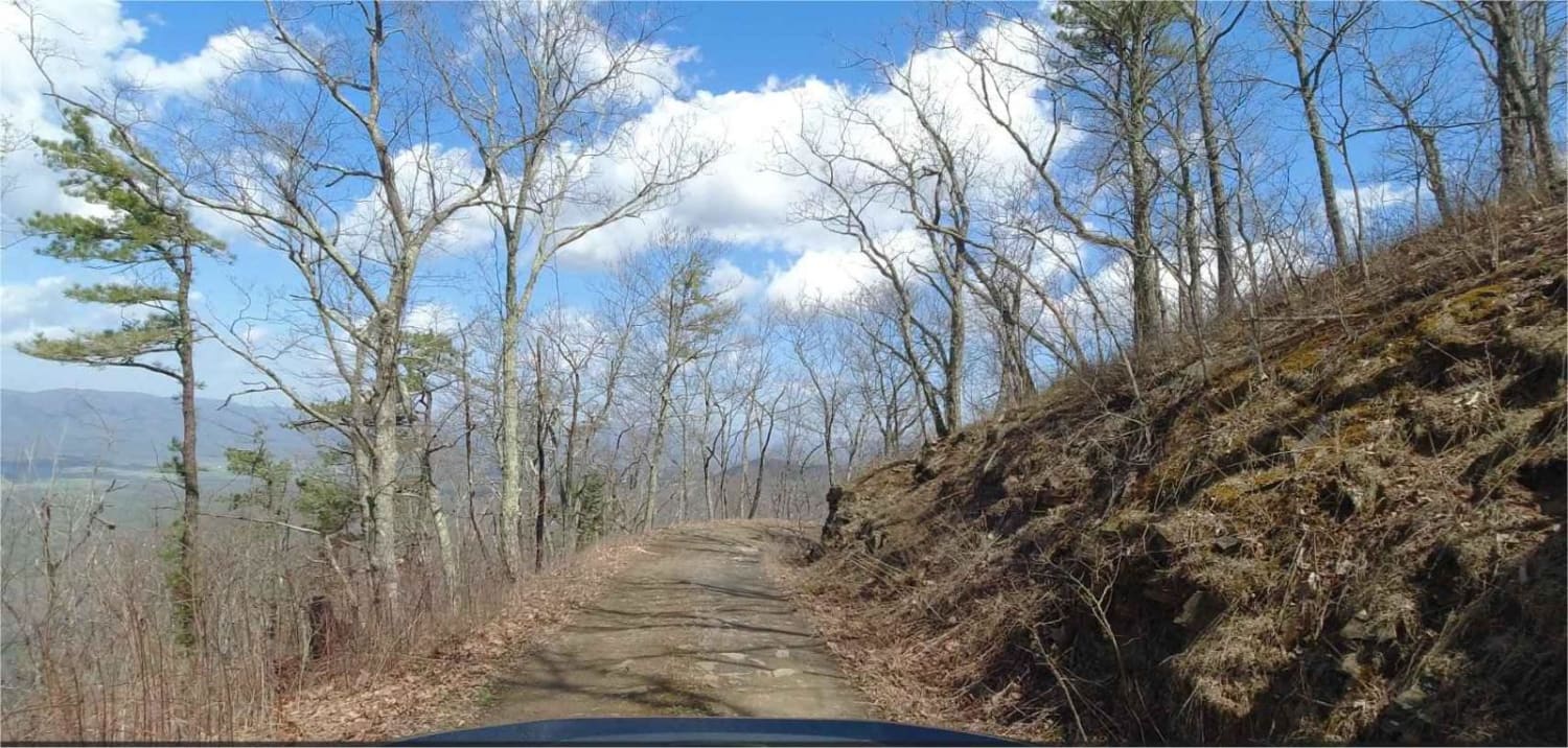
Trail Overview
J4 is a major, wide gravel access road running for 0.9 miles beneath powerlines, primarily serving utility and natural gas infrastructure. It provides easy access to several connecting trails, including the intersection with J31 on the north end. The surface is smooth and obstacle-free, with no technical elements, making it an easy corridor for travel through the area.
Photos of J4

Difficulty
This is an easy route with no obstacles, great for all skill levels.
Status Reports
J4 can be accessed by the following ride types:
- High-Clearance 4x4
- SxS (60")
- ATV (50")
- Dirt Bike
J4 Map
Popular Trails

Cold Springs - FR 77

The onX Offroad Difference
onX Offroad combines trail photos, descriptions, difficulty ratings, width restrictions, seasonality, and more in a user-friendly interface. Available on all devices, with offline access and full compatibility with CarPlay and Android Auto. Discover what you’re missing today!