J1
Total Miles
16.0
Technical Rating
Best Time
Fall, Spring, Summer, Winter
Trail Type
High-Clearance 4x4 Trail
Accessible By
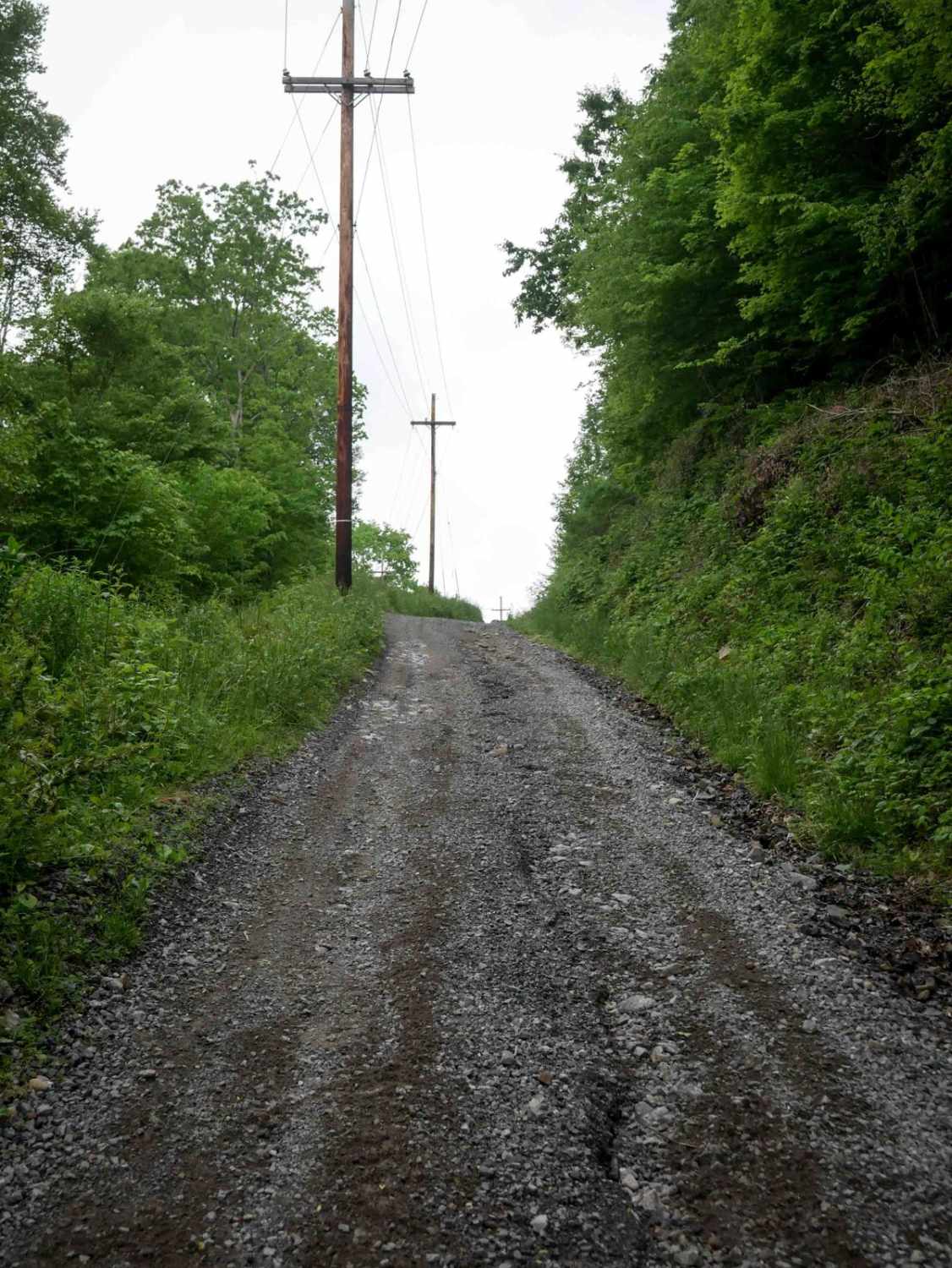
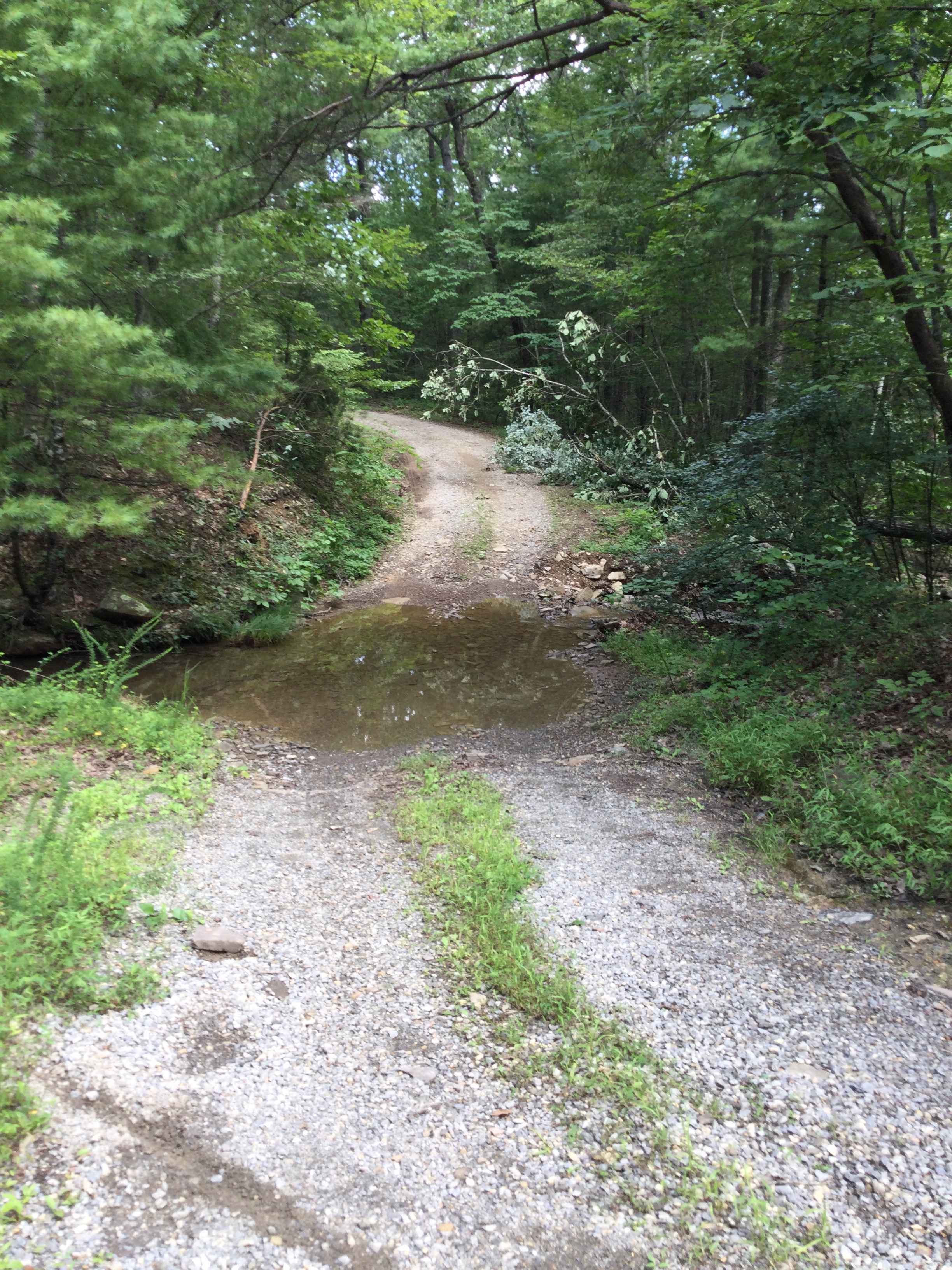
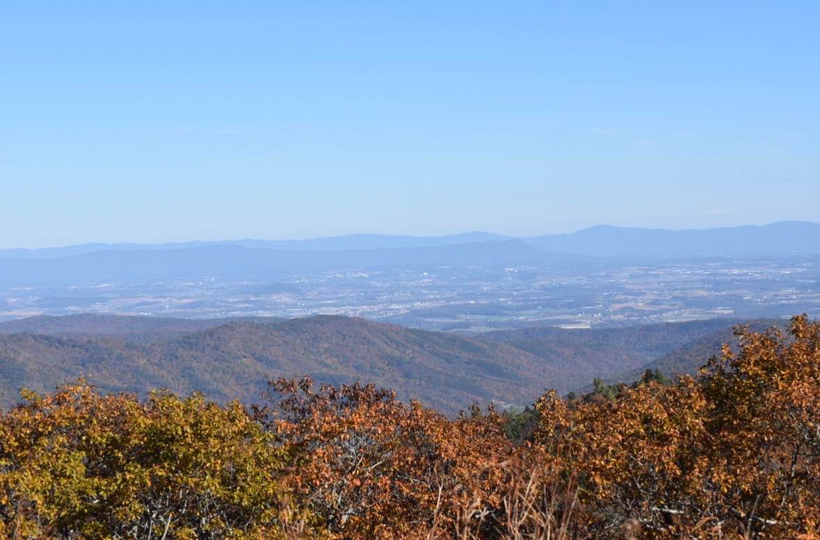
Trail Overview
J1 serves as the main access route into the Jawbone trail system, beginning at the ATV trailhead and running over 16 miles to State Route 635. The trail starts as a wide, gravel two-lane road through town, with a quick climb under the powerlines near the J1 trail sign. The first 6 miles are a gradual, curvy ascent into the heart of the system. J1 provides access to a majority of the surrounding trails and is primarily a smooth gravel road used for powerline and oil and gas access. It varies in width--sometimes two-lane, sometimes wide single-lane--but remains very easy and gradual throughout, making it a key corridor for navigating the area.
Photos of J1

Difficulty
This is an easy access route with no obstacles, great for all skill levels.
Status Reports
J1 can be accessed by the following ride types:
- High-Clearance 4x4
- SxS (60")
- ATV (50")
- Dirt Bike
J1 Map
Popular Trails


OP 14 (Part 2)
Wildlife Road - FS 224
Bother Flagpole Knob Trail
The onX Offroad Difference
onX Offroad combines trail photos, descriptions, difficulty ratings, width restrictions, seasonality, and more in a user-friendly interface. Available on all devices, with offline access and full compatibility with CarPlay and Android Auto. Discover what you’re missing today!