White River Loop
Total Miles
35.0
Technical Rating
Best Time
Spring, Summer, Fall, Winter
Trail Type
Full-Width Road
Accessible By
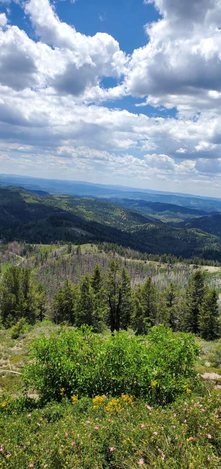
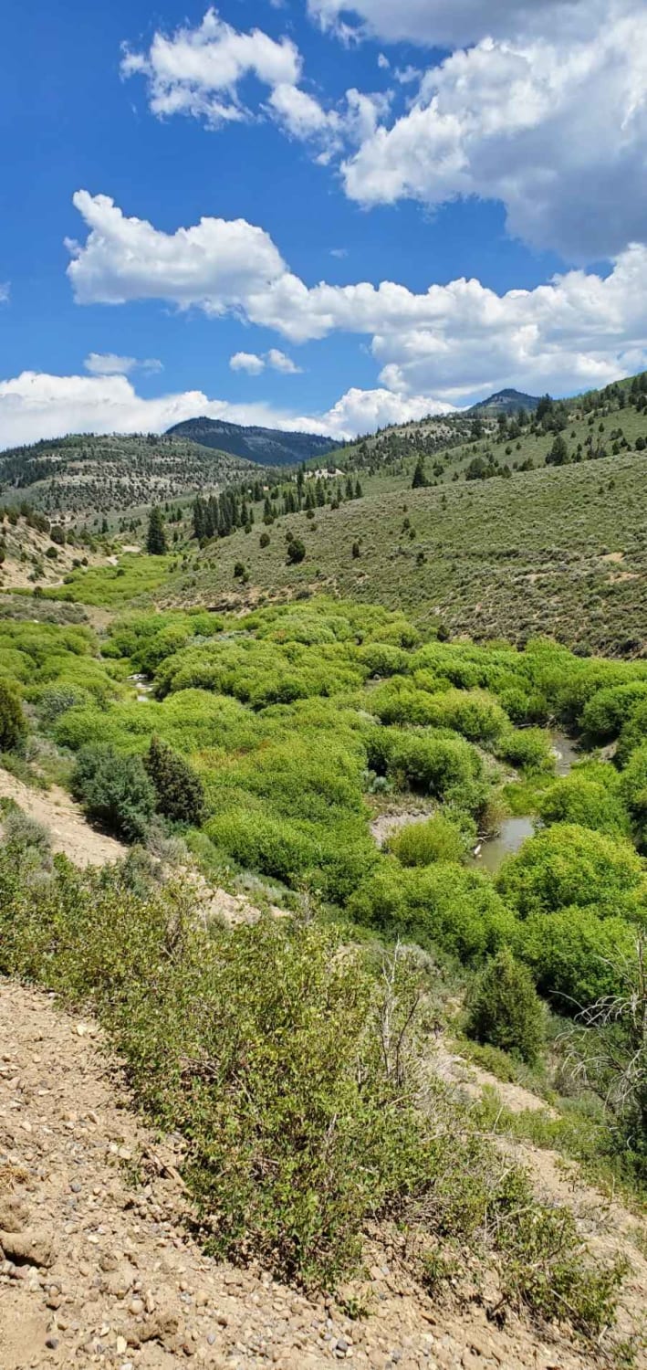
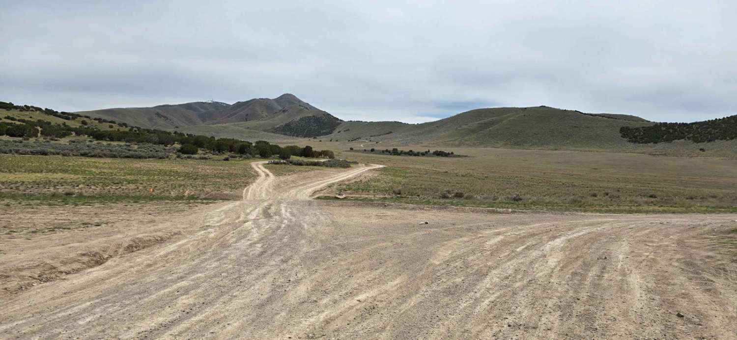
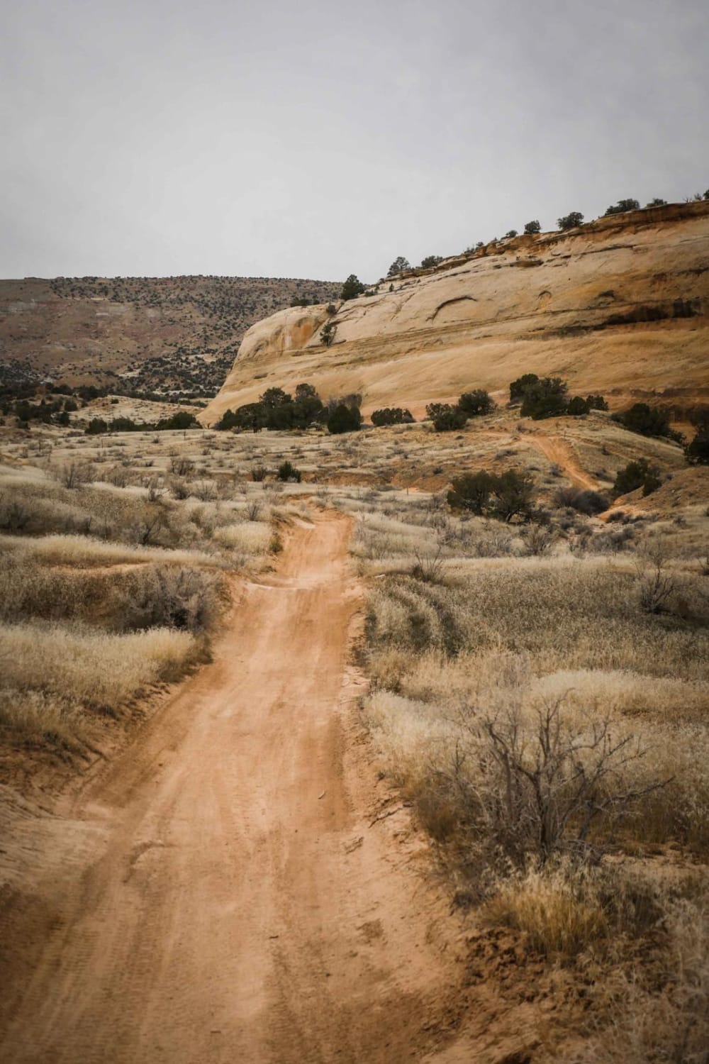
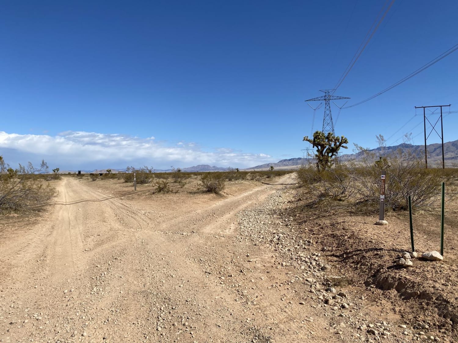
Trail Overview
This trail begins just off US Highway 6 at Soldier Summit. The vegetation transitions from sagebrush and willows that follow the White River up to higher-elevation pine and aspen. These Forest Service roads are mostly graded and easy for most vehicles depending on weather. Wildlife viewing and picture-taking opportunities are abundant as you traverse to higher elevations and then descend again to the Soldier Summit, which is about 7,400 feet above sea level.
Photos of White River Loop
Difficulty
These are mostly Forest Service roads with a few ruts and mud holes depending on weather conditions. They make for amazing snowmobile riding in the winter.
Status Reports
White River Loop can be accessed by the following ride types:
- High-Clearance 4x4
- SUV
- SxS (60")
- ATV (50")
- Dirt Bike
White River Loop Map
Popular Trails
Hidden Hollow Loop
Metal Masher Bypass
West Mountain Route
The onX Offroad Difference
onX Offroad combines trail photos, descriptions, difficulty ratings, width restrictions, seasonality, and more in a user-friendly interface. Available on all devices, with offline access and full compatibility with CarPlay and Android Auto. Discover what you’re missing today!