West State Line Road -16400N
Total Miles
3.1
Technical Rating
Best Time
Spring, Summer, Fall, Winter
Trail Type
Full-Width Road
Accessible By
Trail Overview
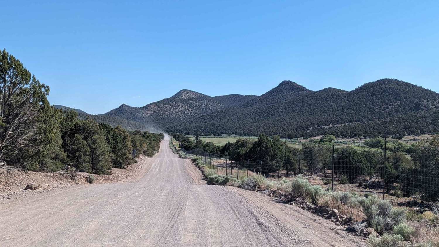
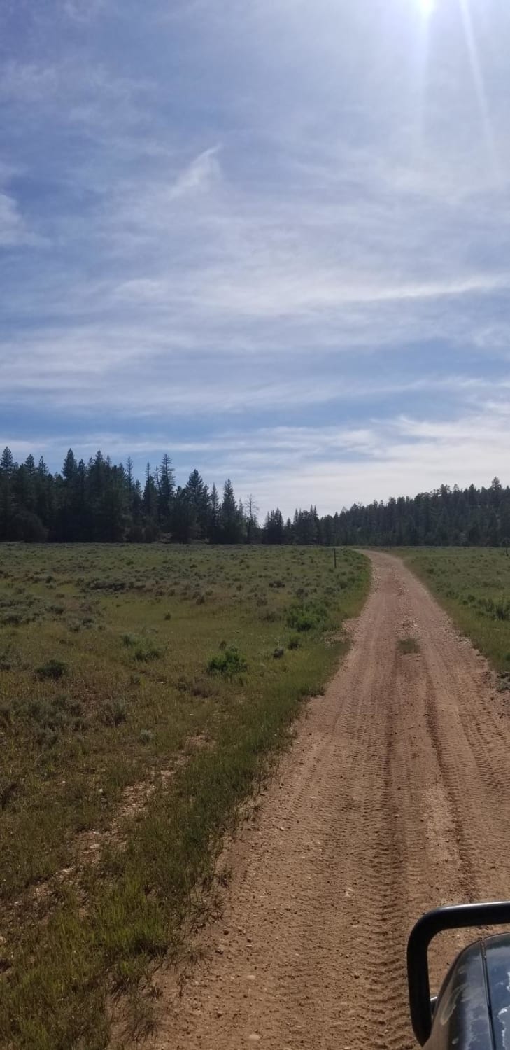
State Line Road is a 3.2-mile point-to-point destination trail rated 3 of 10 located in Iron County, Utah. State Line Road is predominately a 2-rated trail until it crosses the Rice Canyon creek where the trail becomes 3-rated (can be high depending upon storm damage). The last 0.7-mile portion of the trail can become wet, muddy, rocky, or even impassable due to storm damage. This section leads up the Rice Canyon to the State Line Mine. This is a destination trail that leads to the old mining community of State Line where there are still several buildings and other structures standing. Further up the trail leads to the State Line Mine which is now abandoned. Don't expect there to be cell phone service and the nearest services are located in Enterprise or Newcastle, Utah to the east or Panaca, Nevada to the west.
Photos of West State Line Road -16400N
Difficulty
This is a county dirt road with infrequent or light maintenance after rain or snow, high clearance light duty 4WD may be required.
History
Gold and silver were first found here in 1894 and the community of State Line soon followed. By 1903, State Line had grown to a solid mining town of 300, with two or three general stores, a fine hotel, two saloons, a blacksmith shop, shoemaker, restaurant, a daily stage to Modena on the railroad sixteen miles away, and its own newspaper, the Stateline Oracle. Several mills, for processing the ores from the Ophir, Johnny, Creole, and Big Fourteen mines were also erected in the surrounding area, close to their respective mines. Extensive mining continued until about 1910 when many of the mines started closing because of a lack of high-quality ore. Miners and businesses gradually drifted away and in 1918 there were only about 18 individuals left in town. The State Line post office operated until 1938.
Status Reports
West State Line Road -16400N can be accessed by the following ride types:
- High-Clearance 4x4
- SUV
- SxS (60")
- ATV (50")
- Dirt Bike
West State Line Road -16400N Map
Popular Trails
Row of Pines
Three Mile Canyon Trail
Temple Mountain Road
The onX Offroad Difference
onX Offroad combines trail photos, descriptions, difficulty ratings, width restrictions, seasonality, and more in a user-friendly interface. Available on all devices, with offline access and full compatibility with CarPlay and Android Auto. Discover what you’re missing today!

