Nasty Flat Road
Total Miles
9.0
Technical Rating
Best Time
Fall, Summer, Spring
Trail Type
Full-Width Road
Accessible By
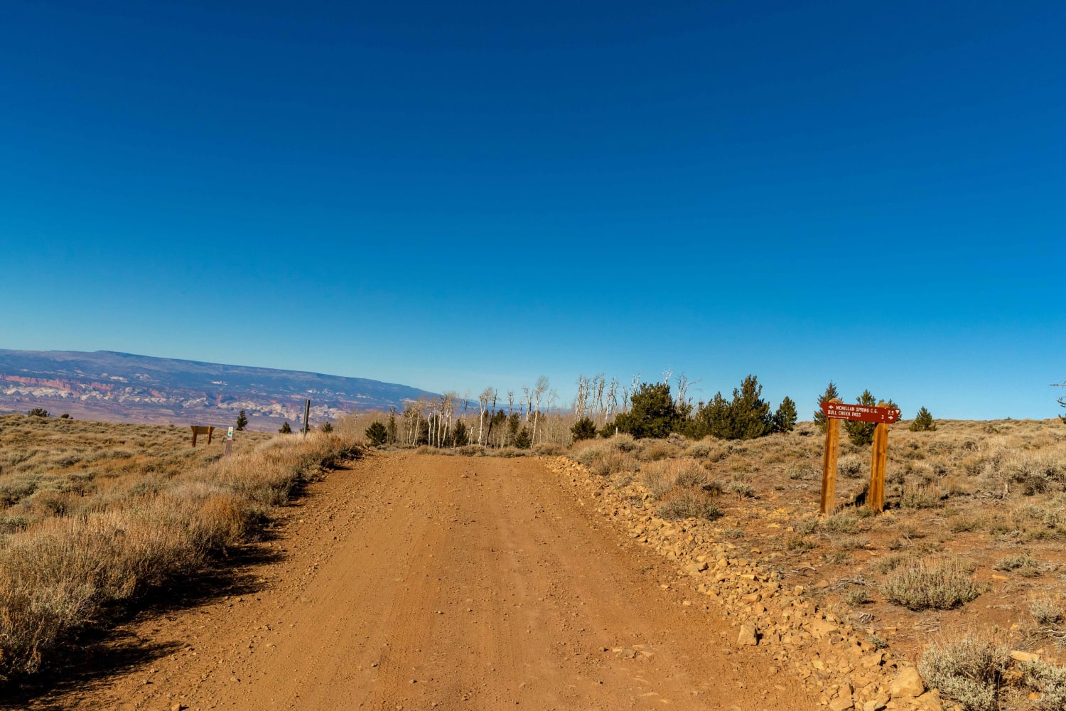
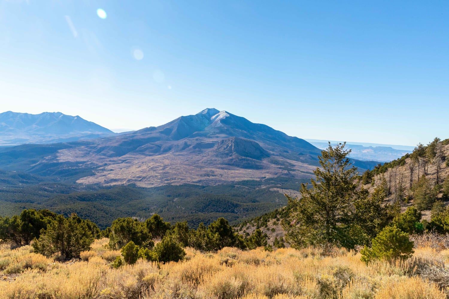
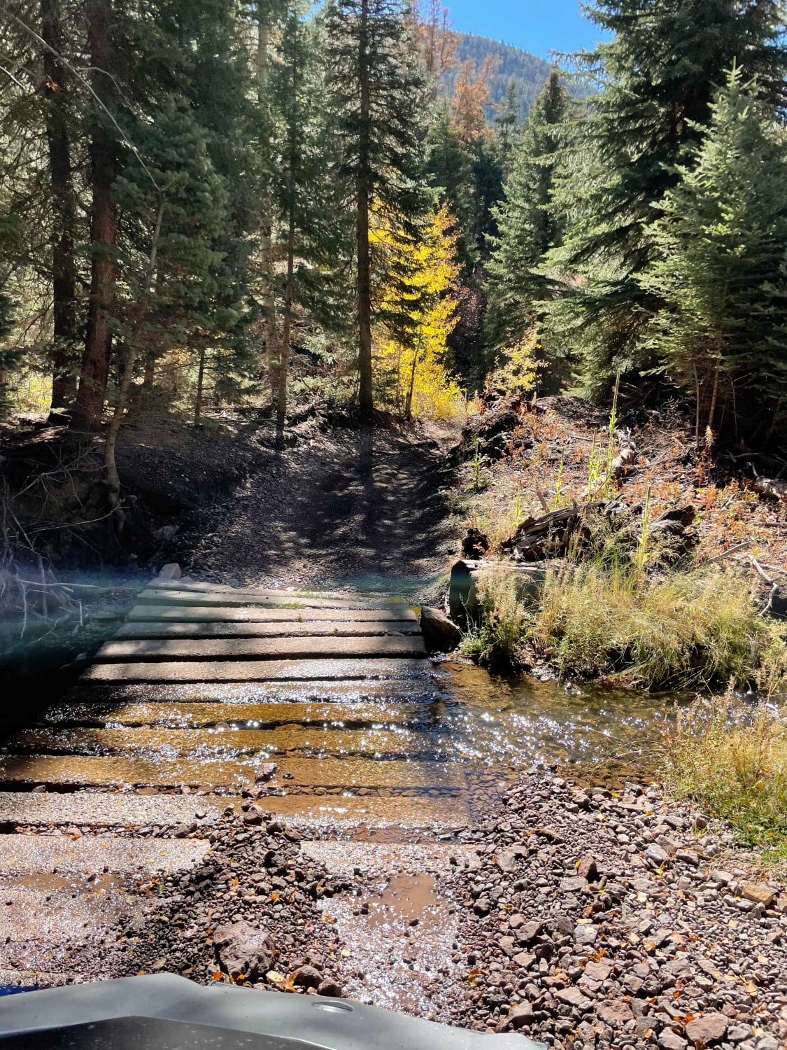
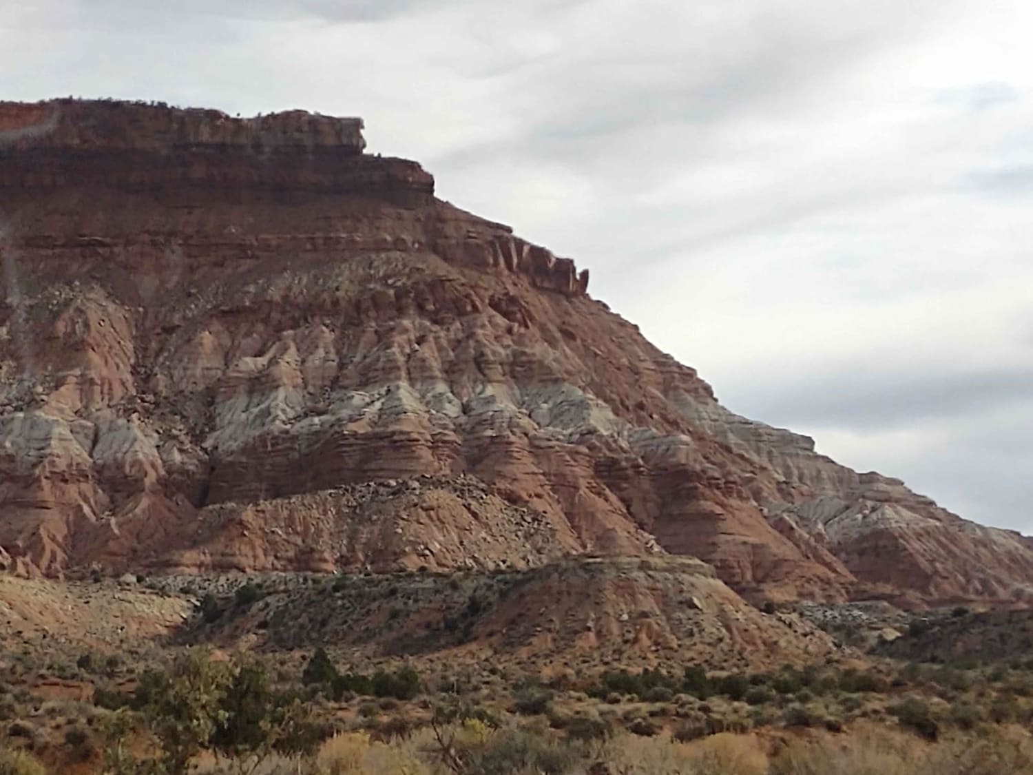
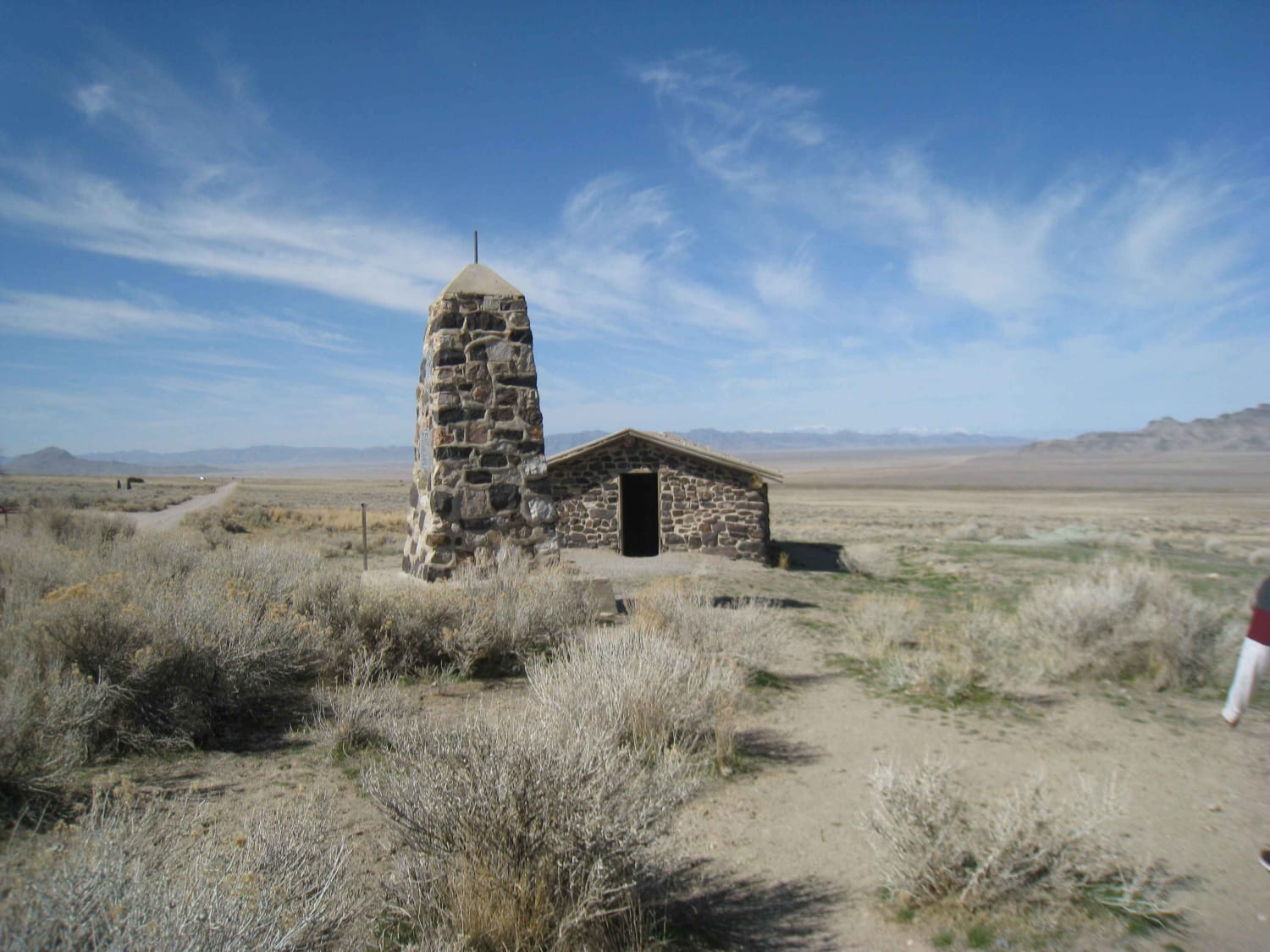
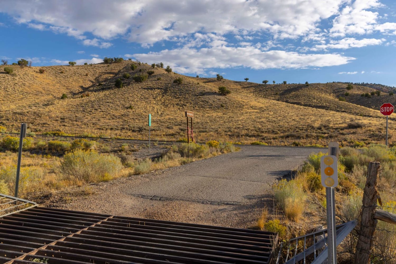
Trail Overview
Nasty Flat Road stretches from McMillan Springs Campground on the north, alongside the western peak of the Henry Mountains. There are sparse pine and quaking aspen patches along the route. There are incredible views looking west over the cliffs and canyons of Capitol Reef National Park and the Escalante Plateau. This is a limited draw mule deer hunting area which can lead to finding larger buck deer. There is also a free-roaming bison herd that roams between the mountain range and west towards the east side of Capitol Reef.
Photos of Nasty Flat Road
Difficulty
There are several areas to pass along this route and some steep cuts along the mountainside. The roads can have large snow drifts when winter approaches and can be muddy and slick during inclement weather.
Status Reports
Nasty Flat Road can be accessed by the following ride types:
- High-Clearance 4x4
- SUV
- SxS (60")
- ATV (50")
- Dirt Bike
Nasty Flat Road Map
Popular Trails
Deer Creek Trail
Rocky Top Little Creek Mesa
Dugway Geode Beds
Willow Creek Canyon Road
The onX Offroad Difference
onX Offroad combines trail photos, descriptions, difficulty ratings, width restrictions, seasonality, and more in a user-friendly interface. Available on all devices, with offline access and full compatibility with CarPlay and Android Auto. Discover what you’re missing today!