Turtle Canyon Road
Total Miles
58.0
Technical Rating
Best Time
Spring, Summer, Fall
Trail Type
Full-Width Road
Accessible By
Trail Overview
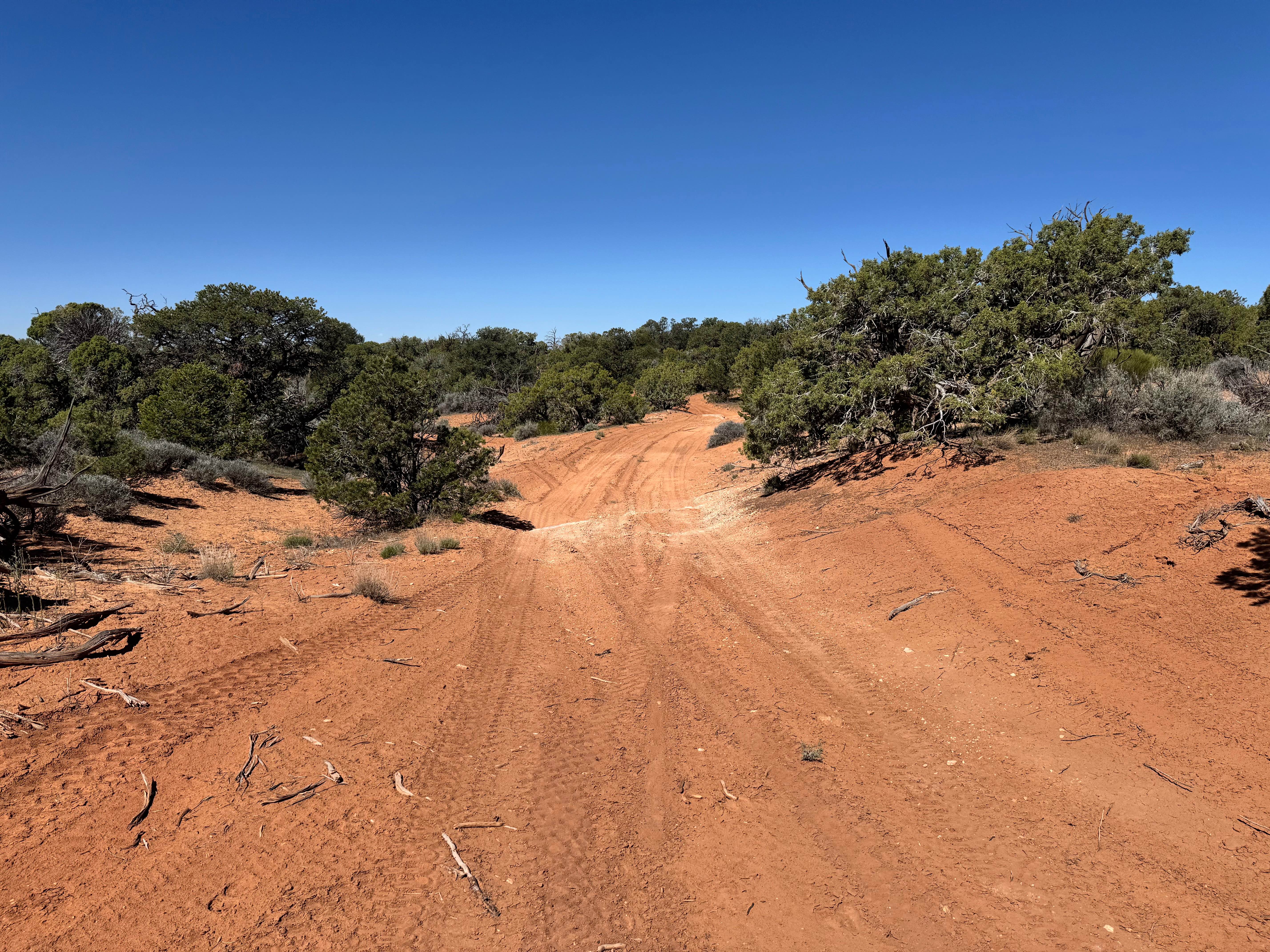
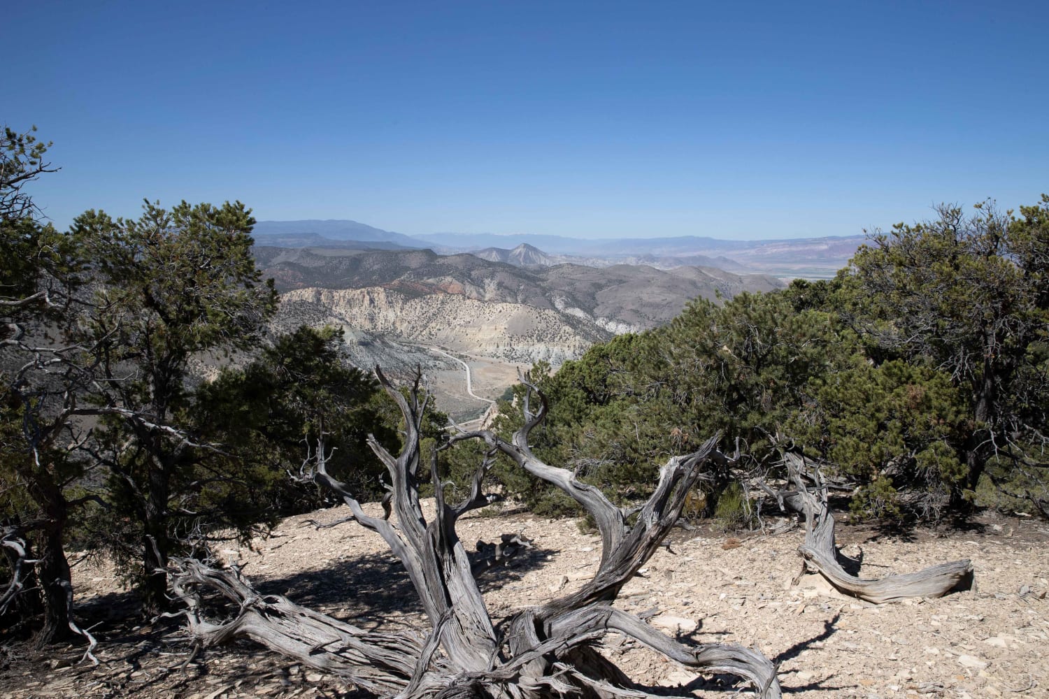
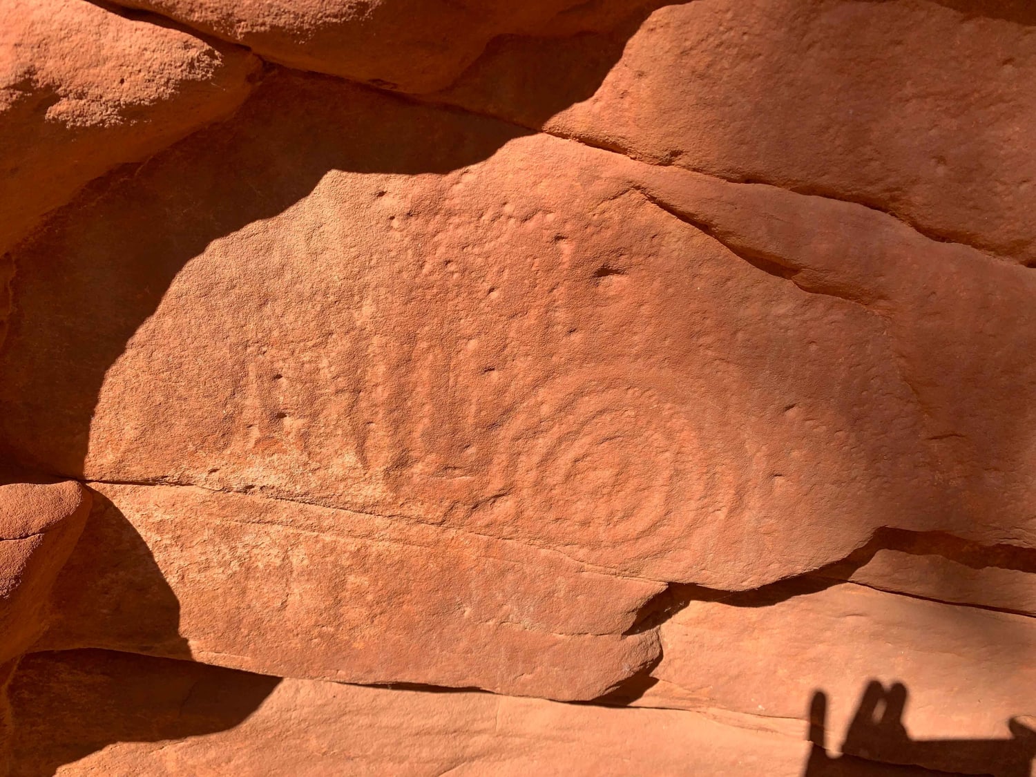
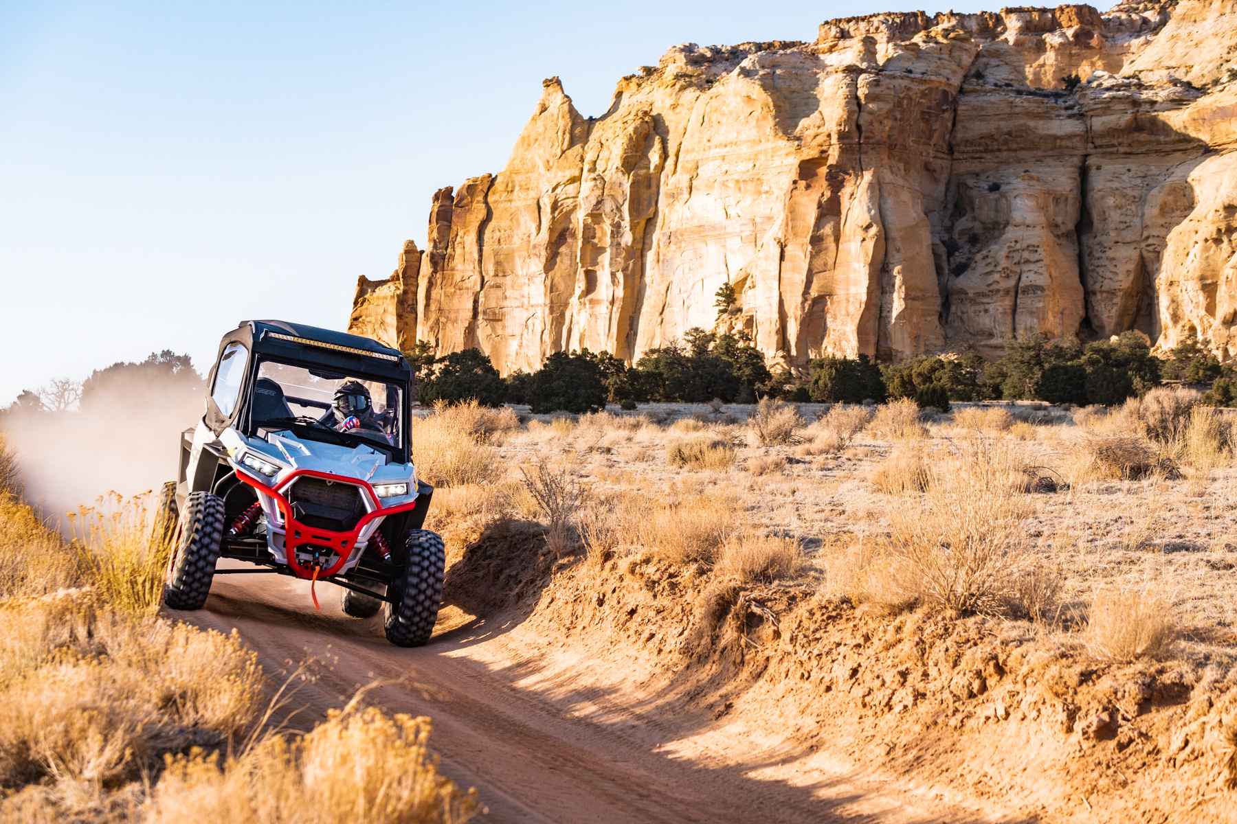
Turtle Canyon Road is a 58-mile out-and-back trail that starts in Horse Canyon and climbs to the top of the Book Cliffs, then traverses and drops into Turtle Canyon. This trail is very scenic with many beautiful views of the San Rafael Swell and the surrounding mountains. Most of this trail is rated 2 with loose rocks and erosion damage under 12" in height/depth. As you drop into Turtle Canyon, the erosion damage is up to 12" in depth. Several water crossings are up to 12" deep within the last 5 miles of the trail. Keep your eyes open for wildlife along the entire trail and the 'Rock Monster' between 22 and 24 miles (image in the photos). This trail can become more challenging after an afternoon rainstorm. Recommend not running this trail for a few days after a heavy rainstorm. Range Creek is managed by the Natural History Museum of Utah and requires a permit for travel;do not expect to take that trail back as a loop. See http://nhmu.utah.edu for access information for Range Creek.
Photos of Turtle Canyon Road


Difficulty
Most of the trail is rated 2 with loose rocks and erosion damage under 12" in height. The last section of the trail has several water crossings up to 12" in depth and erosion damage up to 12" in height.
Status Reports
Turtle Canyon Road can be accessed by the following ride types:
- High-Clearance 4x4
- SUV
- SxS (60")
- ATV (50")
- Dirt Bike
Turtle Canyon Road Map
Popular Trails
Arches View Spur
Cedar Mountain East Ridge
Poverty Gulch Slick Rock/Petroglyphs
Sinbad Valley Arch and Petroglyphs Loop
The onX Offroad Difference
onX Offroad combines trail photos, descriptions, difficulty ratings, width restrictions, seasonality, and more in a user-friendly interface. Available on all devices, with offline access and full compatibility with CarPlay and Android Auto. Discover what you’re missing today!