Ryan Creek
Total Miles
6.7
Technical Rating
Best Time
Spring, Fall
Trail Type
High-Clearance 4x4 Trail
Accessible By
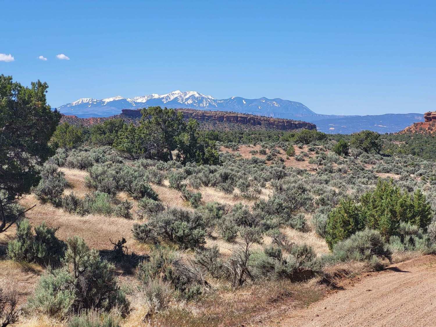
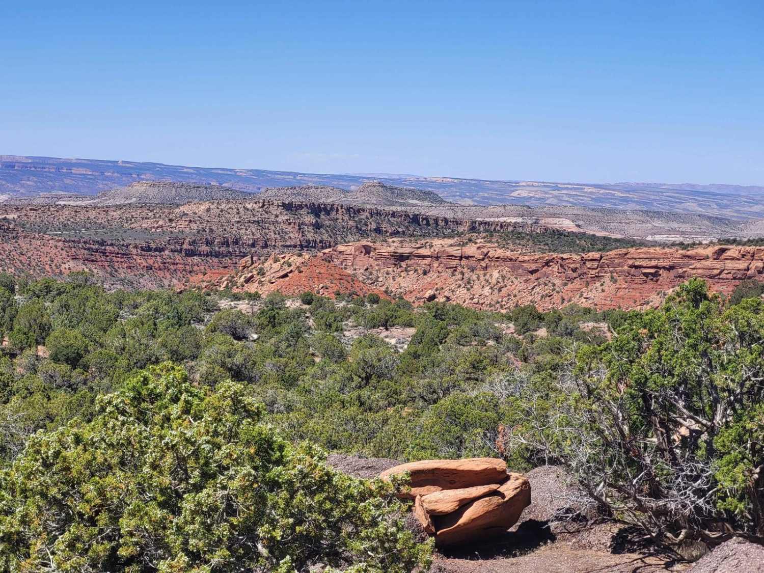
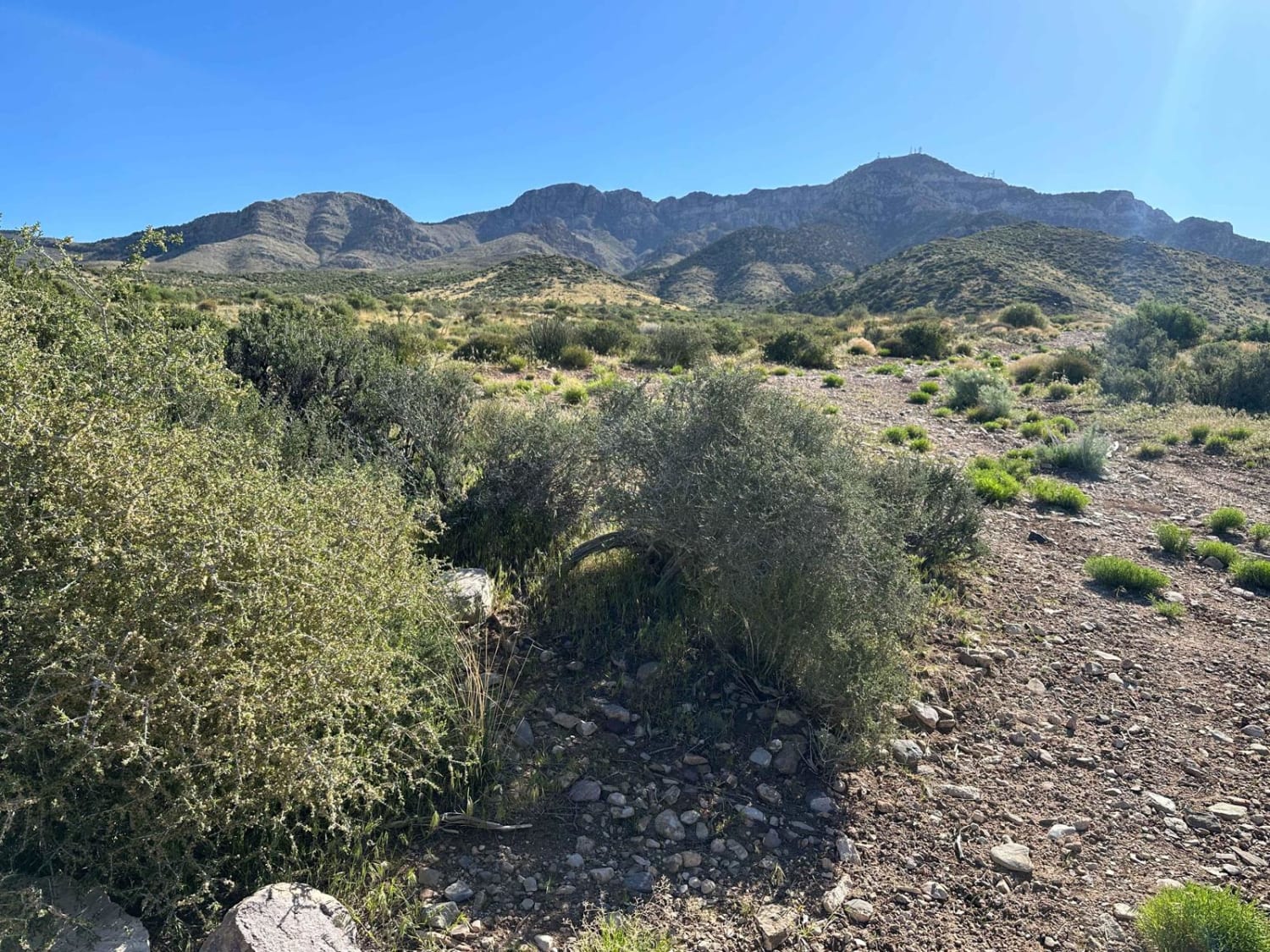
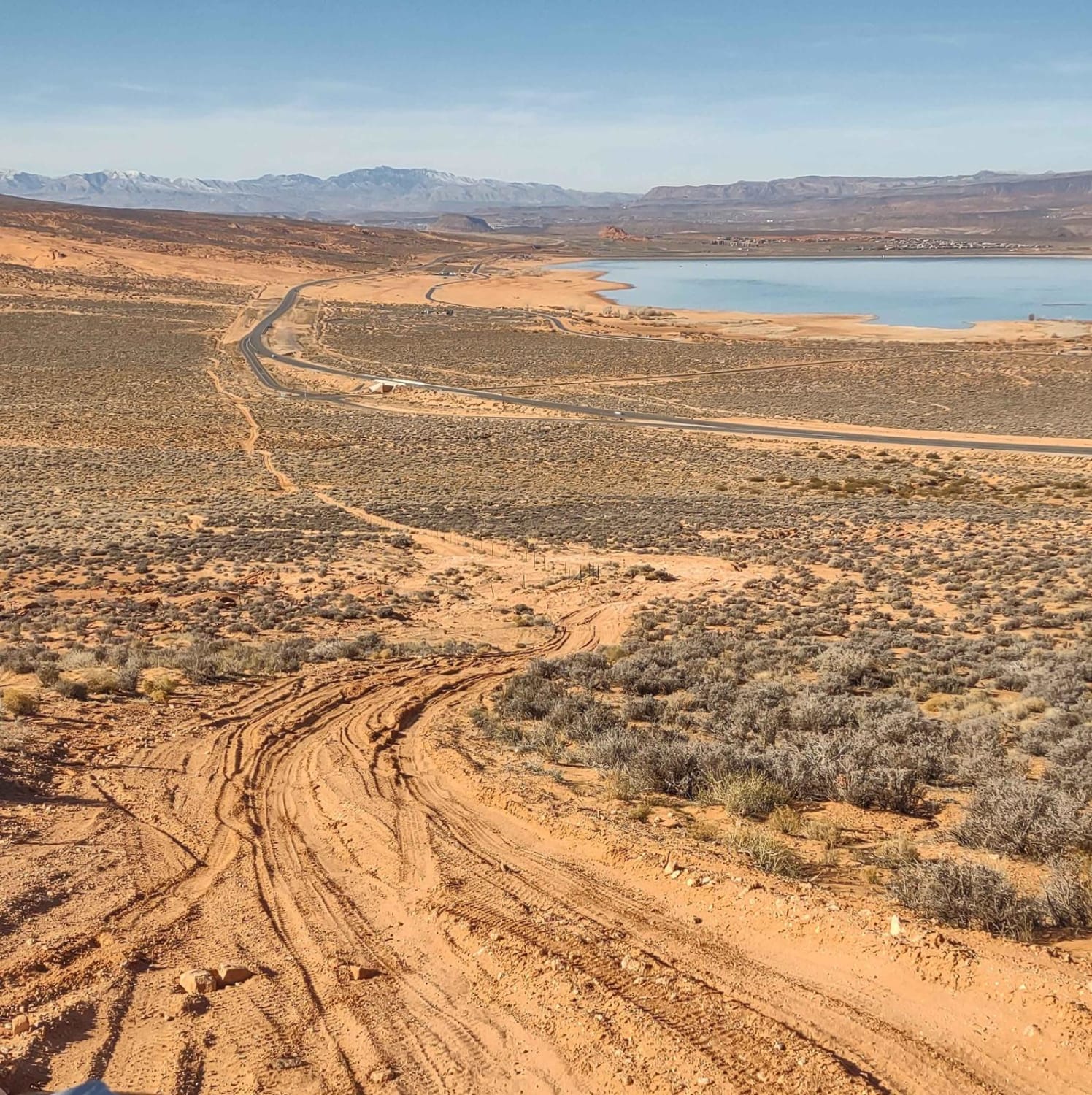
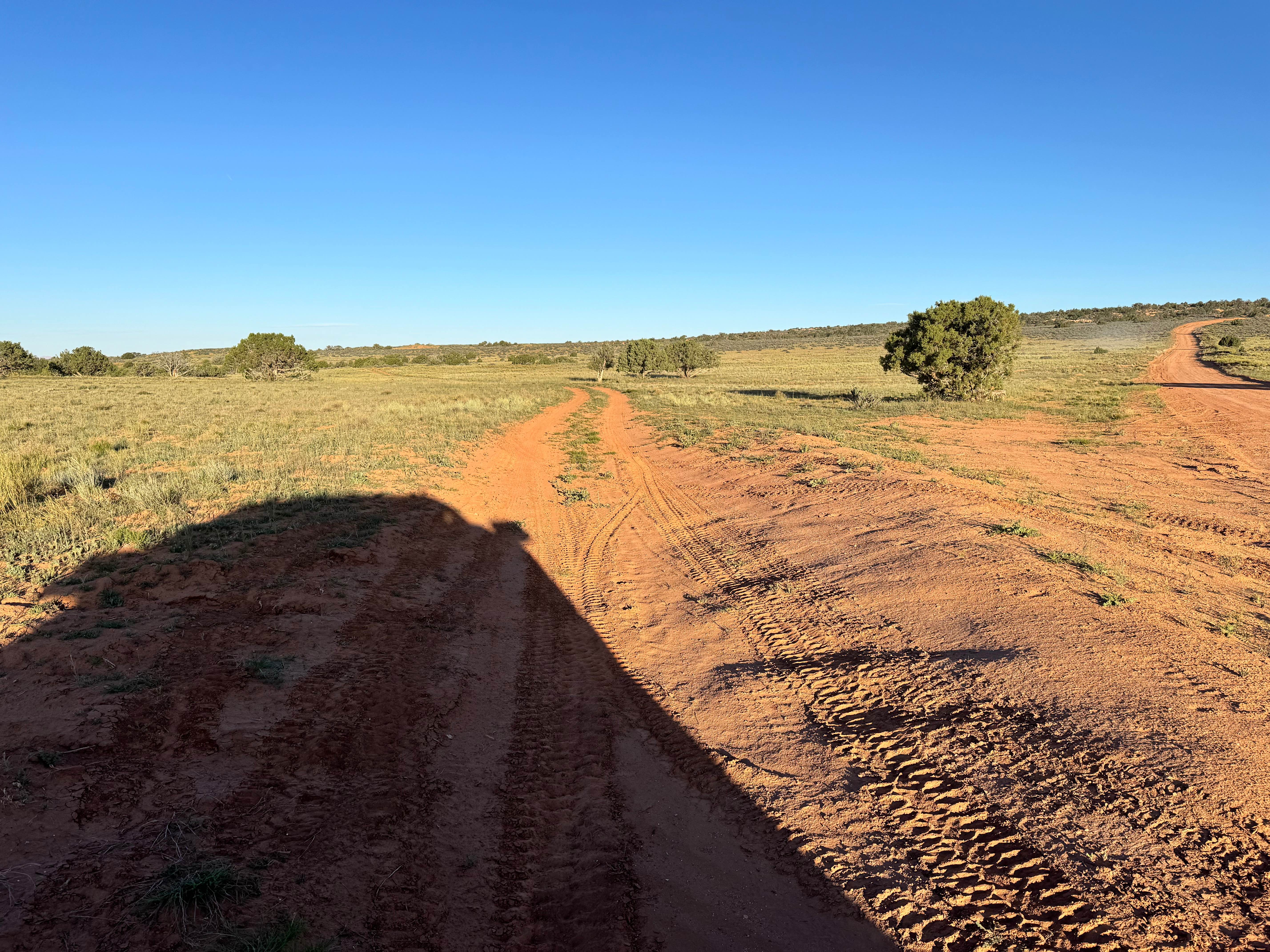
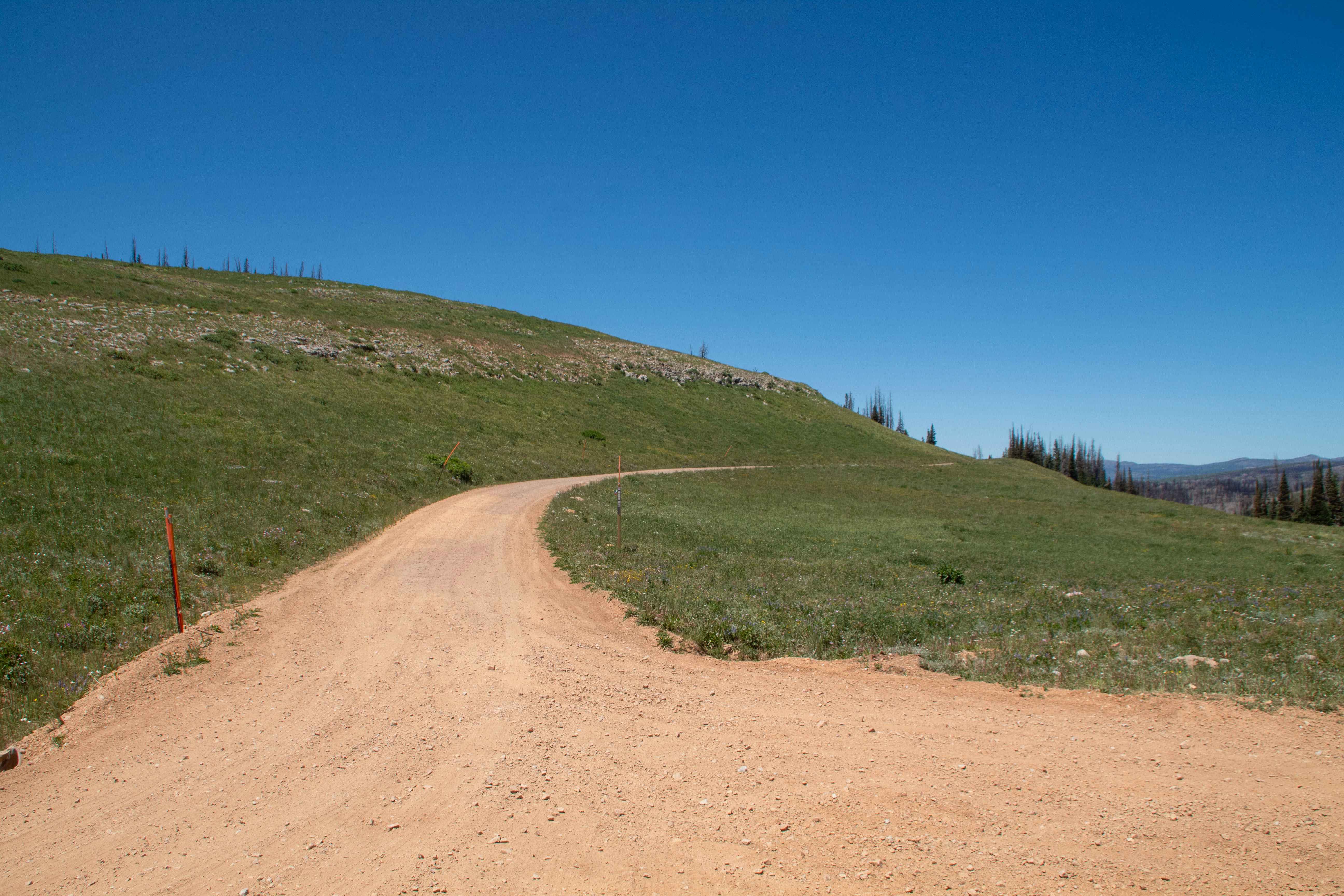
Trail Overview
This trail boasts exquisite views, rock formations, riparian areas, and contrasting sandstone and granite geology. Bounded on the east end by BLM Route 350 and west by BLM Route 107 on the other, the trail generally follows a portion of Ryan Creek and there are sandy areas and multiple water crossings once in the creek bottom. The eastern portion of the trail climbs out of the creek bottom with some steep and loose climbs/descents.
Photos of Ryan Creek
Difficulty
Most of trail is very easy but it has one short section that is steep with loose rock.
Ryan Creek can be accessed by the following ride types:
- High-Clearance 4x4
- SxS (60")
- ATV (50")
- Dirt Bike
Ryan Creek Map
Popular Trails
Hells Hole Pass Road
Lakeside to Razzle Dazzle East
Winter Dome
The onX Offroad Difference
onX Offroad combines trail photos, descriptions, difficulty ratings, width restrictions, seasonality, and more in a user-friendly interface. Available on all devices, with offline access and full compatibility with CarPlay and Android Auto. Discover what you’re missing today!