Forgotten Mine Road
Total Miles
1.3
Technical Rating
Best Time
Spring, Summer, Fall, Winter
Trail Type
Full-Width Road
Accessible By
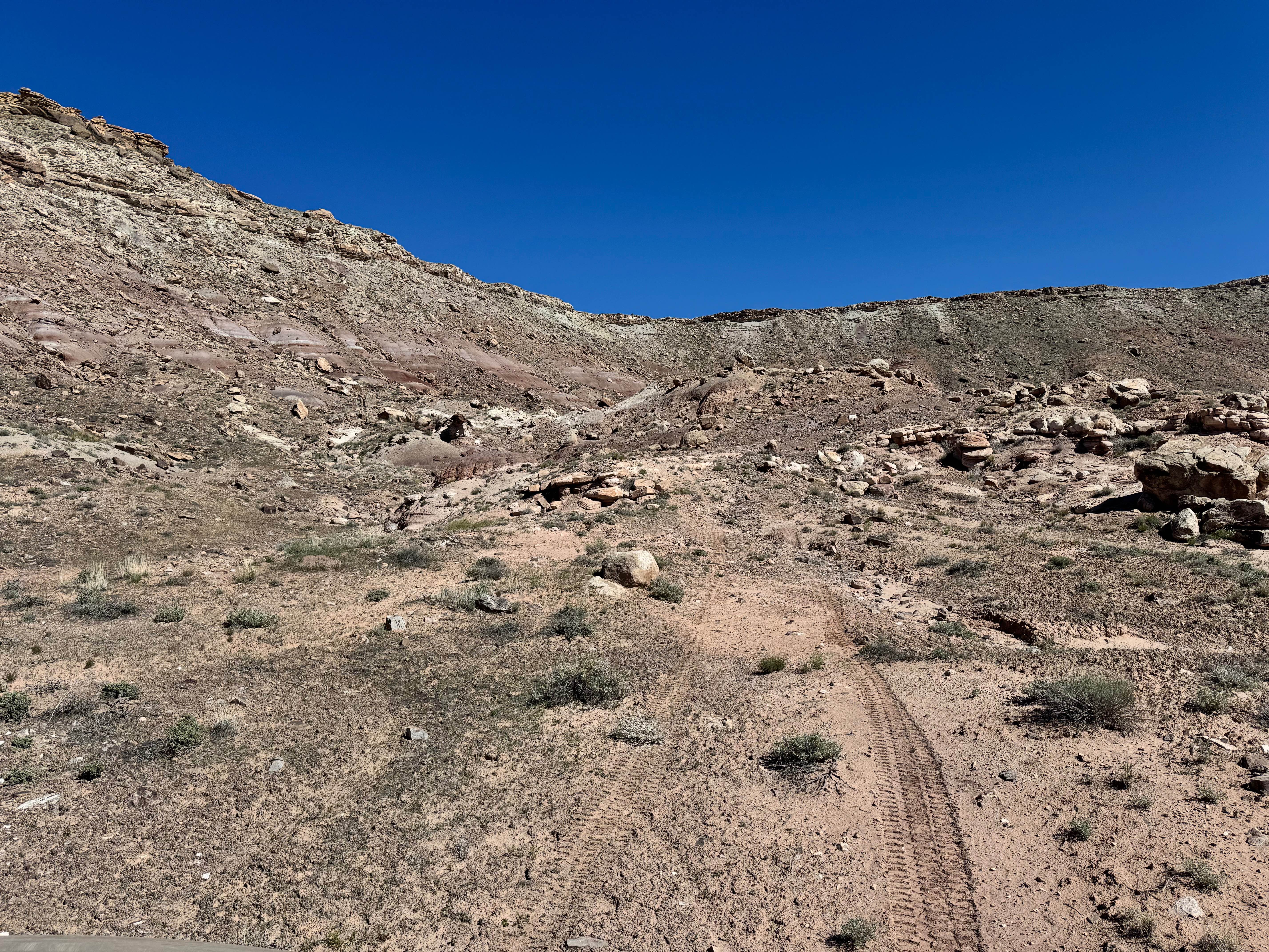
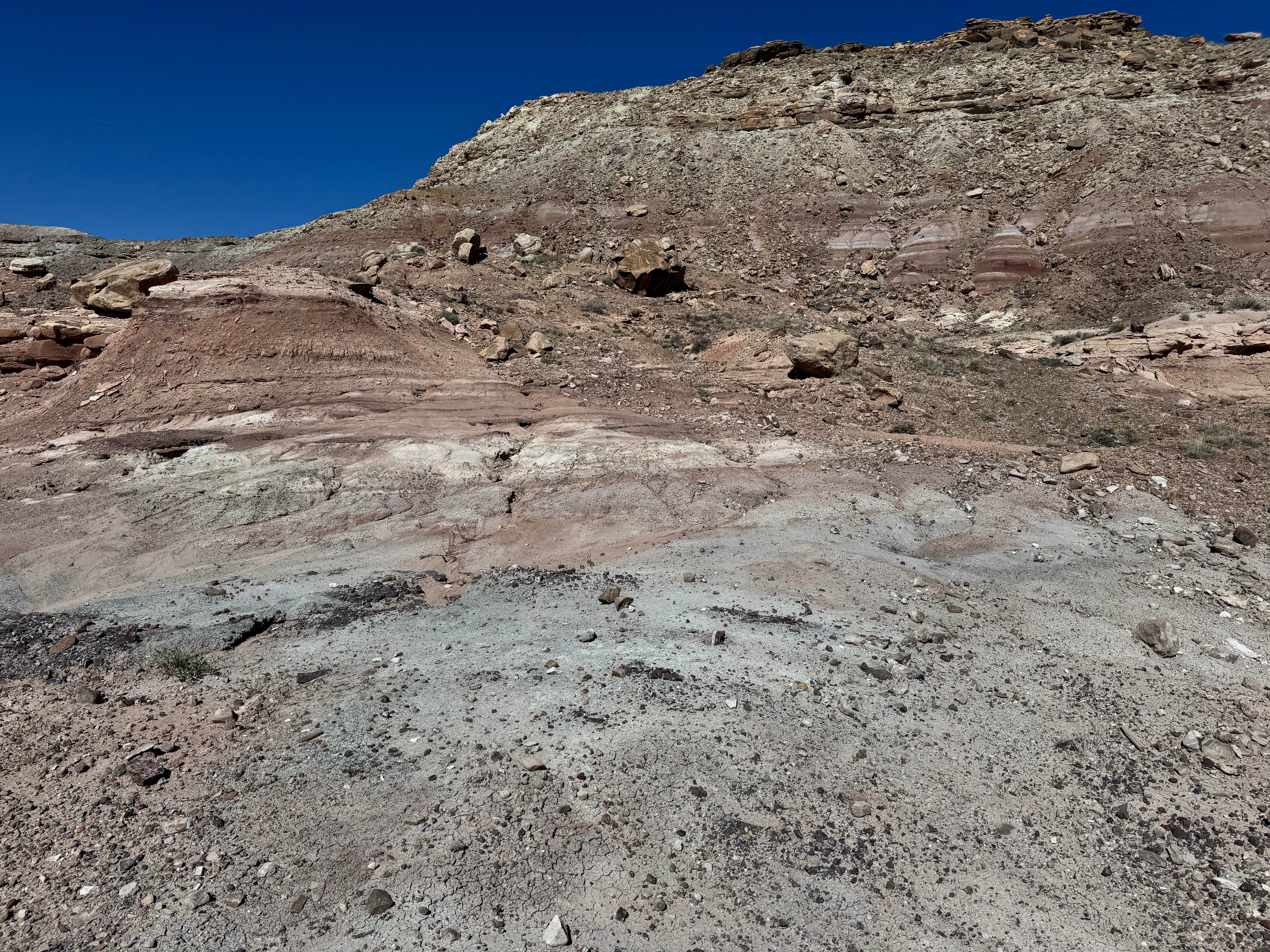
Trail Overview
Non-Resident OHV permits apply to ATVs, UTVs, and dirt bikes. Plated street-legal vehicles typically do not need one on legal motorized routes. This out-and-back route sees little use and leads to what appears to have once been a fairly large mining operation tucked into the rugged hills of the Yellowcat area. The drive crosses open desert terrain before climbing toward colorful badlands-style formations, scattered rock ridges, and weathered slopes marked by old industrial remnants. Along the way, you may notice pieces of aged wood protruding from the ground, subtle clues to the activity that once took place here. Because the trail sees very little traffic, the route can be faint and difficult to follow in places, adding to the remote and exploratory feel of the trip. Near the end, the trail climbs onto surrounding rock shelves that provide elevated views and a closer look at this forgotten mining site.
Photos of Forgotten Mine Road
Difficulty
This route is more challenging because the trail is faint, lightly traveled, and can be difficult to follow in several areas. The route also includes climbs onto rock and uneven terrain near the end, which require good clearance, careful tire placement, and extra caution. When dry, traction appears solid, but wet conditions could significantly increase difficulty. Best suited for experienced drivers.
History
This region is closely tied to the uranium and vanadium mining booms that shaped eastern Utah in the mid-1900s. During the Cold War, demand for uranium surged, bringing roads, claims, camps, and small industrial sites into the desert. Evidence of that era still remains today in the form of old structures, fenced or barricaded mine openings, tailings areas, and abandoned access roads. These remnants are part of the area's story: look, photograph, and respect them without disturbing anything.
Status Reports
Forgotten Mine Road can be accessed by the following ride types:
- High-Clearance 4x4
- SUV
- SxS (60")
- ATV (50")
- Dirt Bike
Forgotten Mine Road Map
Popular Trails
Wardsworth - FS 70153
Motherload ATV
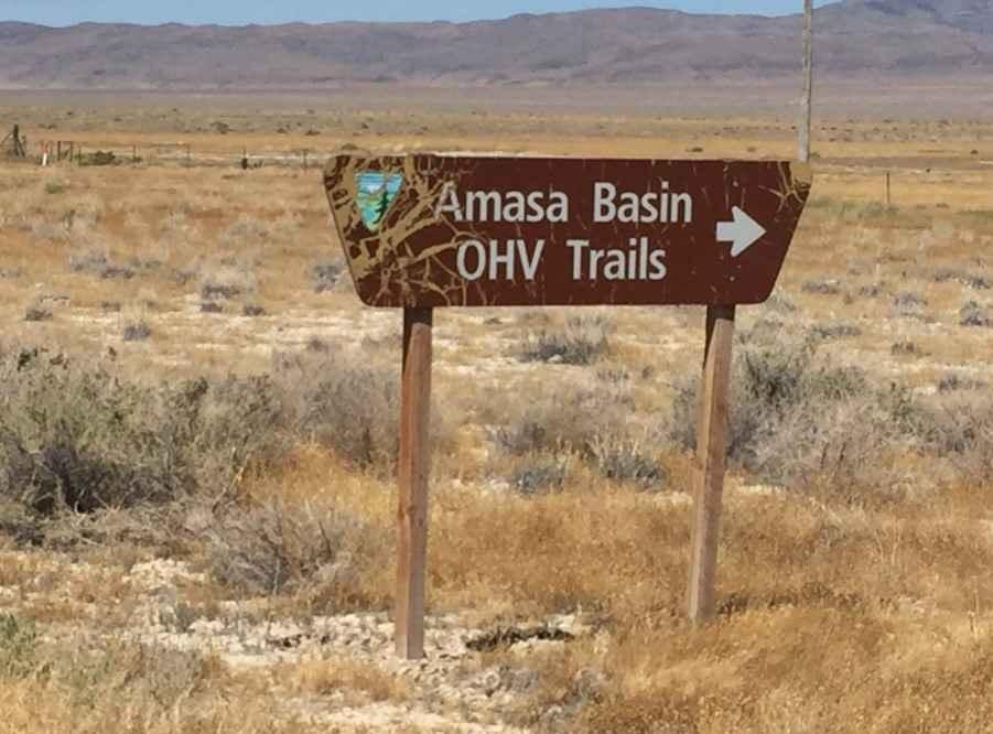
Amasa ATV Route 1
Sage Valley Road
The onX Offroad Difference
onX Offroad combines trail photos, descriptions, difficulty ratings, width restrictions, seasonality, and more in a user-friendly interface. Available on all devices, with offline access and full compatibility with CarPlay and Android Auto. Discover what you’re missing today!