BLM 32
Total Miles
3.5
Technical Rating
Best Time
Spring, Summer, Fall
Trail Type
Full-Width Road
Accessible By
Trail Overview
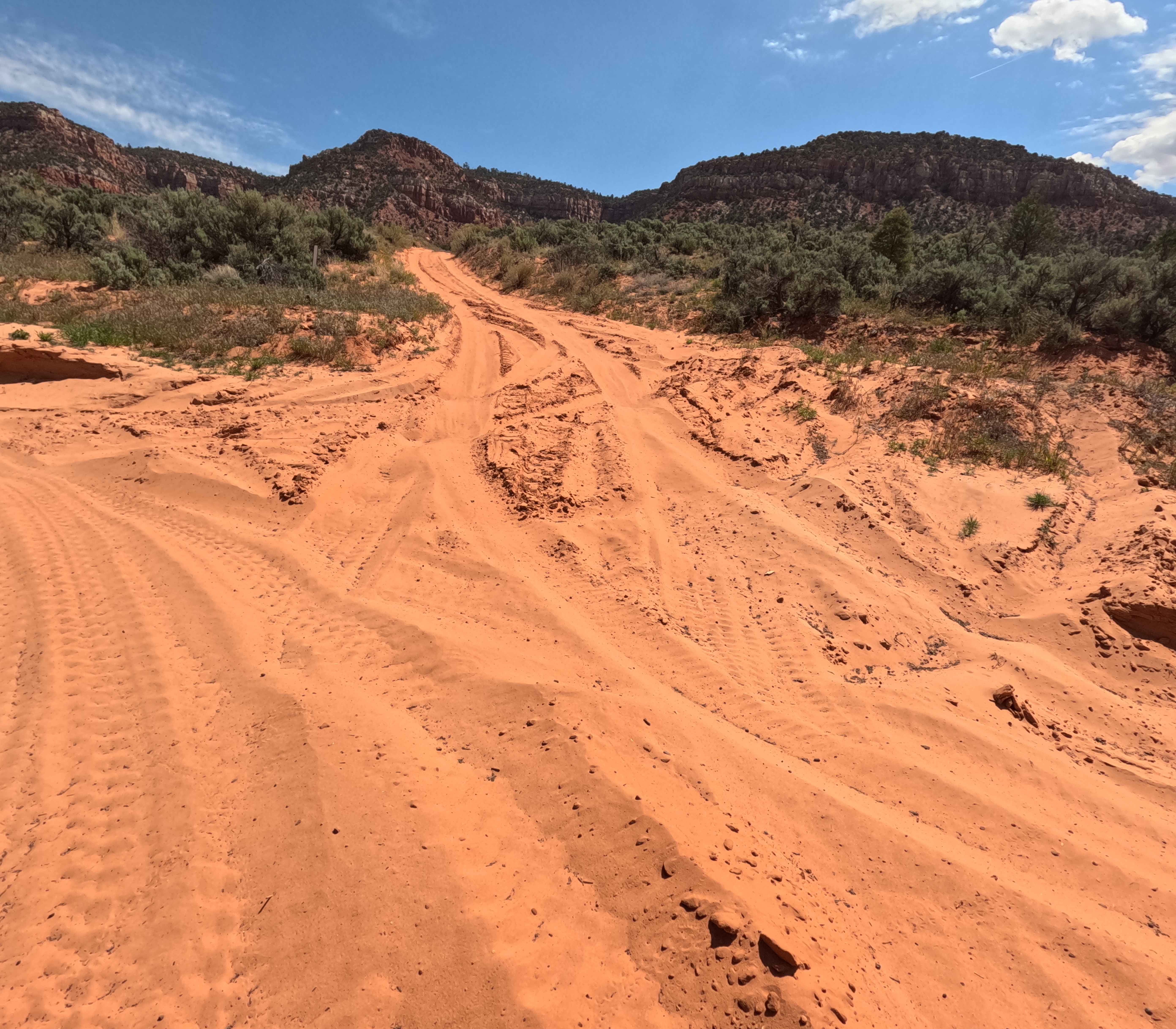
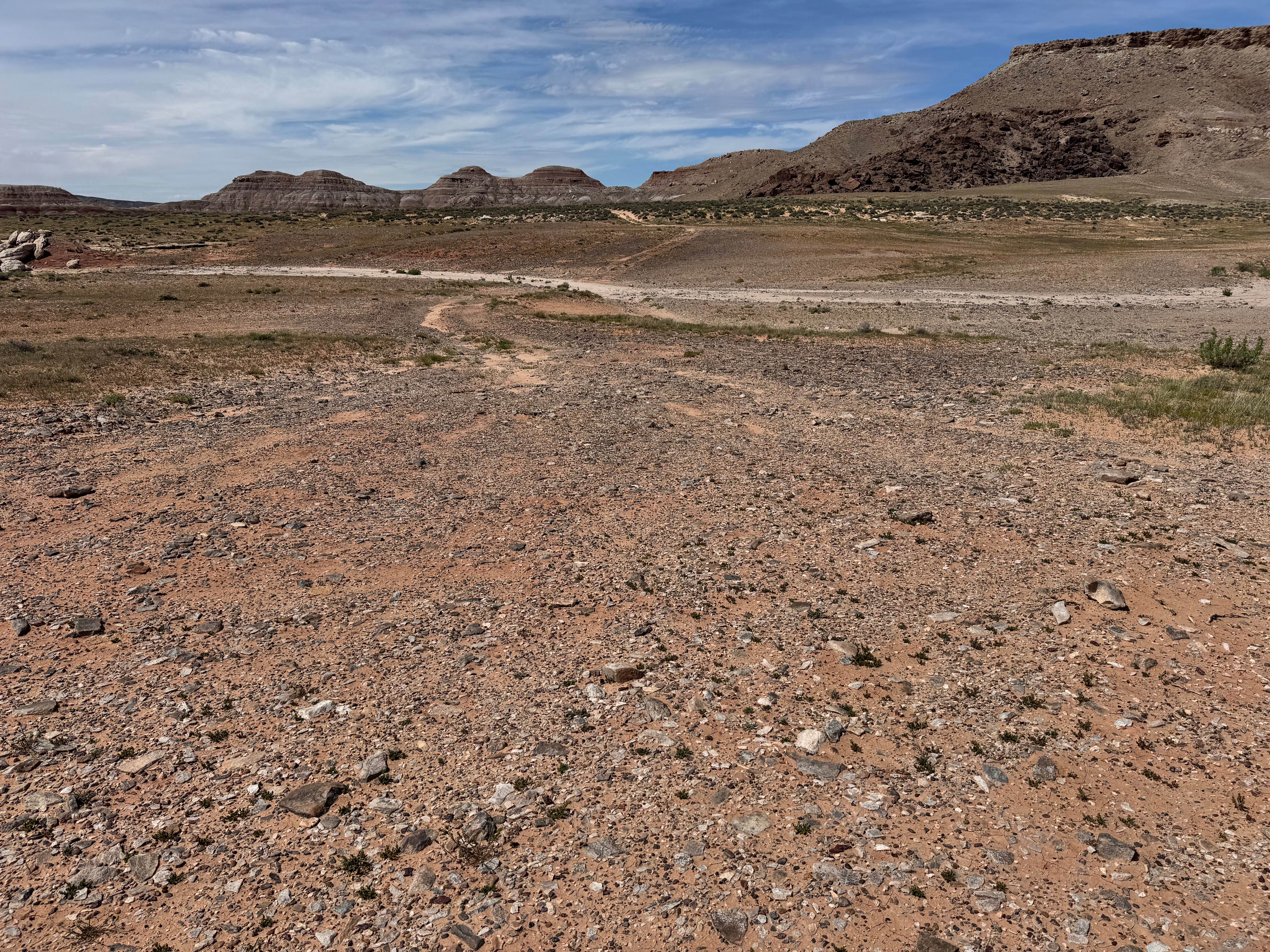
BLM 32 offers a beautifully scenic, highly engaging 3.5-mile point-to-point journey through the high desert. Presenting as a wide, well-traveled dirt and sand two-track, this prominent route meanders under expansive blue skies dotted with fluffy clouds, flanked by vibrant green junipers and desert scrub. While the road is comfortably wide, drivers cannot fly through it unconditionally; numerous pronounced sections of undulating "whoops" are strategically scattered along the track, effectively keeping vehicle speeds in check. Along the initial stretches, explorers will discover an abundance of fantastic dispersed campsites situated just off the trail, perfect for a secluded overnight stay. As the route progresses, it slowly begins to descend into a picturesque, lower draw situated just below dramatic, towering sandstone bluffs. The terrain plunges through a deep, sandy wash before sharply turning south. The transit officially concludes at the southern border of the Kaibab-Paiute Indian Reservation. Travelers must safely turn around here, as a formidable locked gate and strict "No Trespassing" signs firmly mark the boundary line.
Photos of BLM 32

Difficulty
BLM 32 confidently earns a Level 2 Easy technical rating. The primary challenges on this well-used track are navigating the notably deep, soft red sand and successfully powering up the brief, steeper climb required to safely exit the deep wash. Additionally, drivers must carefully manage their momentum over the persistent series of undulating whoops that span the route to prevent harsh, uncomfortable suspension bottom-outs. While extreme rock-crawling obstacles are absent, a high-clearance 2WD vehicle or standard AWD crossover is highly recommended to comfortably clear the whoops and maintain traction in the softer, sandy sections.
Status Reports
BLM 32 can be accessed by the following ride types:
- High-Clearance 4x4
- SUV
BLM 32 Map
Popular Trails
Hanging Boulder Trail

Judd Hollow/Cedar Mountain Road
Murdock Basin
Foothills
The onX Offroad Difference
onX Offroad combines trail photos, descriptions, difficulty ratings, width restrictions, seasonality, and more in a user-friendly interface. Available on all devices, with offline access and full compatibility with CarPlay and Android Auto. Discover what you’re missing today!