509
Total Miles
0.6
Technical Rating
Best Time
Spring, Winter, Fall, Summer
Trail Type
Single Track
Accessible By
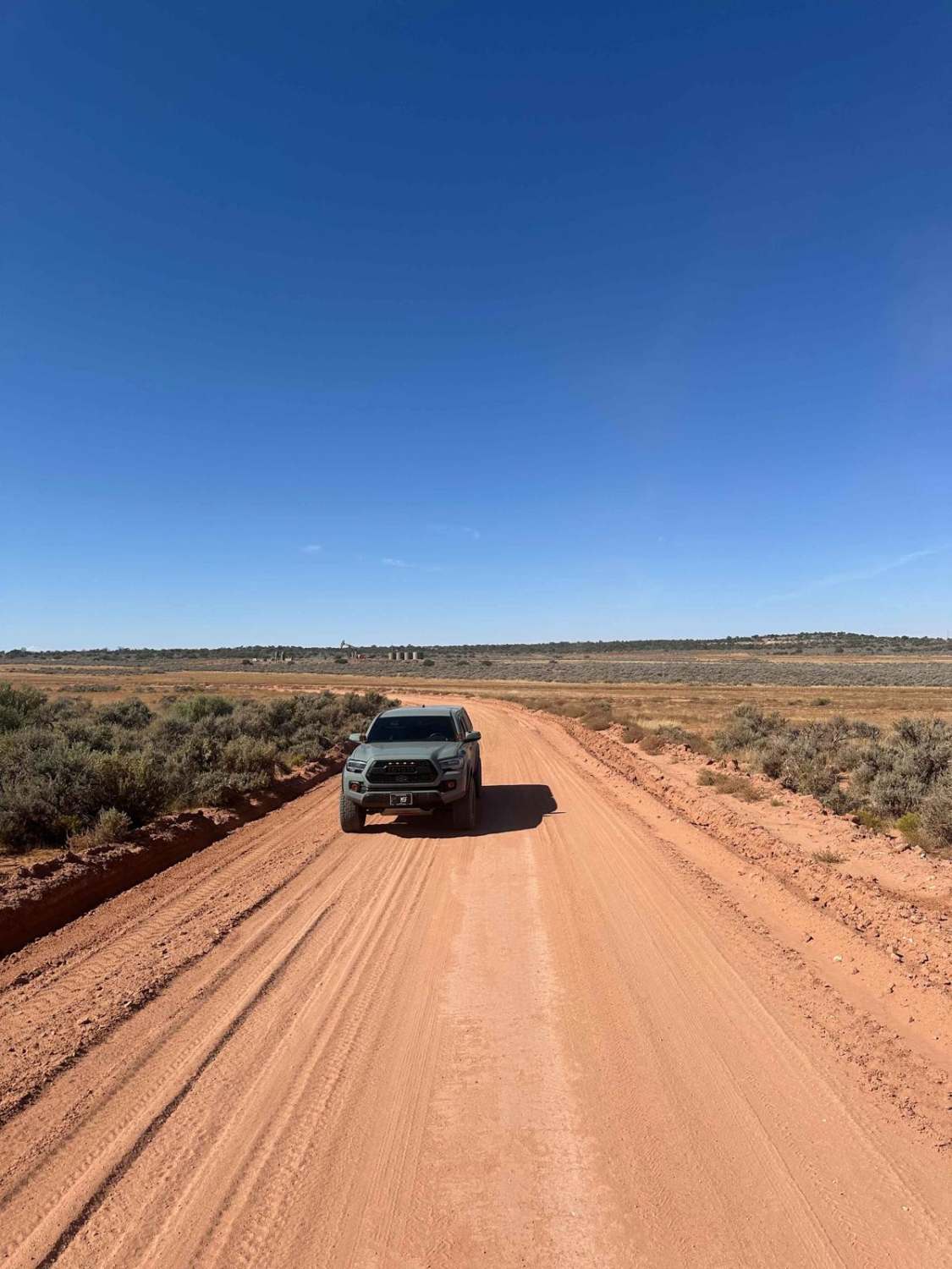
Trail Overview
Trail 509 is a short connector trail that runs East from Wells Canyon Road and Trail 512, ending at Trails 506/510. This is a 0.6-mile long track that mostly descends when ridden from West to East. The dirt on this trail is made up of small rocks and is loose. There are a decent amount of short climbs and downhills along the track as it crosses smaller hills.
Photos of 509
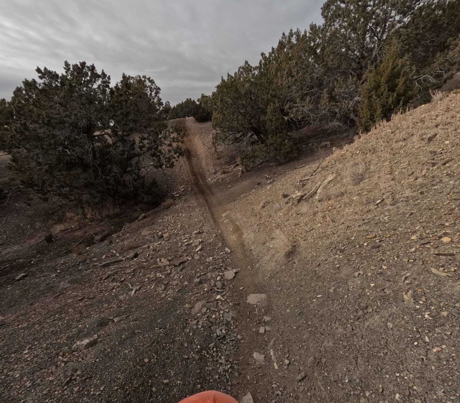
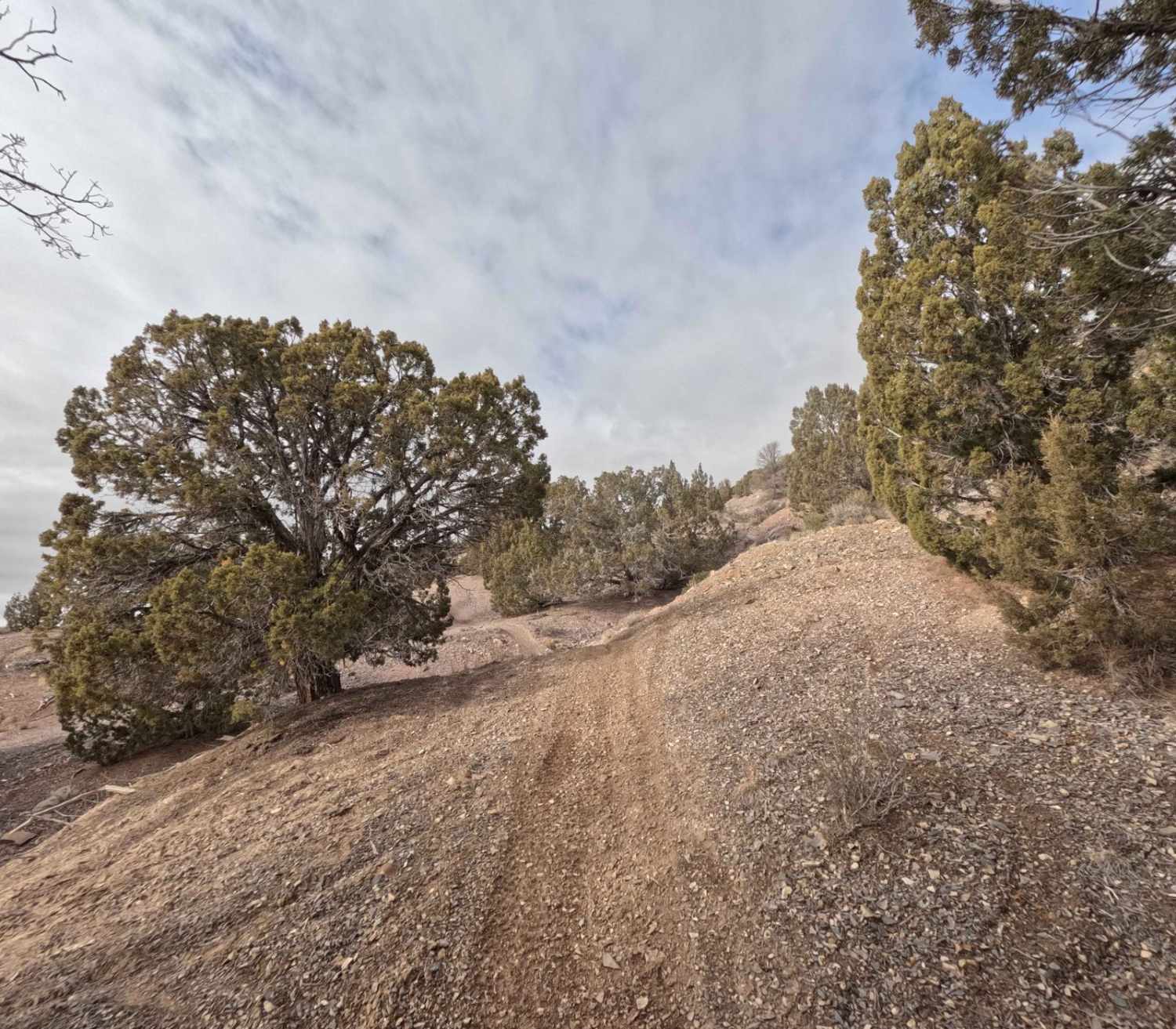
Difficulty
This is an easy and wide trail without major obstacles. There are some small hills mixed in.
Status Reports
509 can be accessed by the following ride types:
- Dirt Bike
509 Map
Popular Trails
Dagmar Mine
Cisco Claymore Hills Cutoff

Dinosour Tracks Extension Loop
The onX Offroad Difference
onX Offroad combines trail photos, descriptions, difficulty ratings, width restrictions, seasonality, and more in a user-friendly interface. Available on all devices, with offline access and full compatibility with CarPlay and Android Auto. Discover what you’re missing today!