Dagmar Mine
Total Miles
0.6
Technical Rating
Best Time
Spring, Summer, Fall
Trail Type
Full-Width Road
Accessible By
Trail Overview
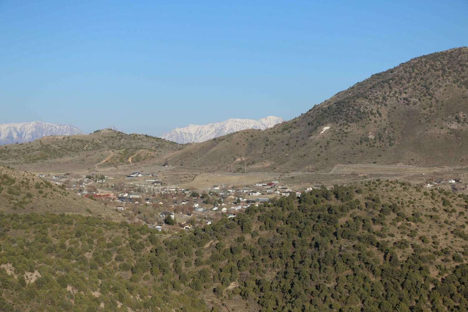
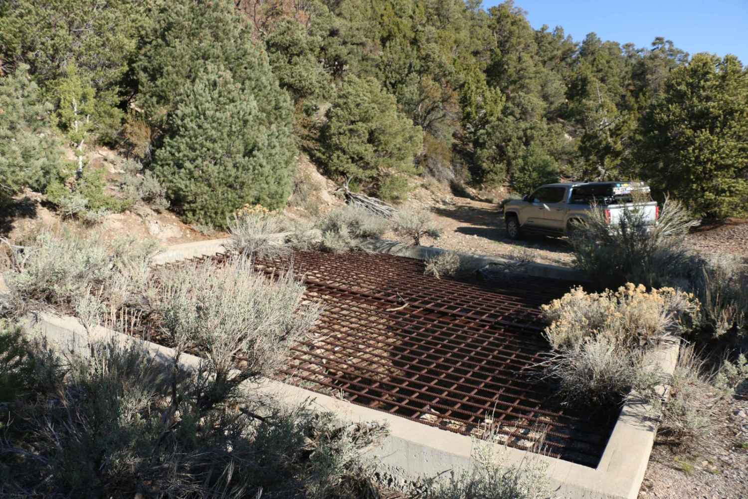
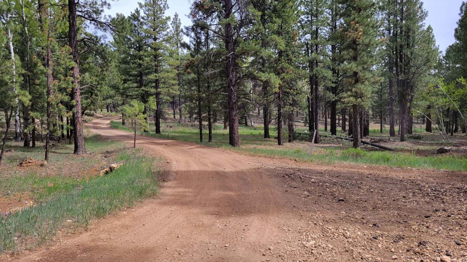
Don't let the length of this out-and-back fool you, it is not a trail for the faint of heart. The trail is steep, rocky, and very narrow. Be prepared for rocky mountain pinstriping along both sides of your vehicle. Definitely recommend having and using 4 LOW on this trail. The reward is an amazing view of Eureka, a large mine, and a cave that are definitely worth checking out. The mine is also on BLM land, so this makes for a great camping spot.
Photos of Dagmar Mine
Difficulty
This trail is steep, narrow, and rocky. Be prepared for Rocky Mountain pinstriping along both sides of the vehicle.
Dagmar Mine can be accessed by the following ride types:
- High-Clearance 4x4
- SUV
- SxS (60")
- ATV (50")
- Dirt Bike
Dagmar Mine Map
Popular Trails
Dead End Overview

Mitchell OHV/Mitchell Spring
Tommy Loop Access
The onX Offroad Difference
onX Offroad combines trail photos, descriptions, difficulty ratings, width restrictions, seasonality, and more in a user-friendly interface. Available on all devices, with offline access and full compatibility with CarPlay and Android Auto. Discover what you’re missing today!