Lynch - FS 209A
Total Miles
2.3
Technical Rating
Best Time
Spring, Summer, Fall, Winter
Trail Type
Full-Width Road
Accessible By
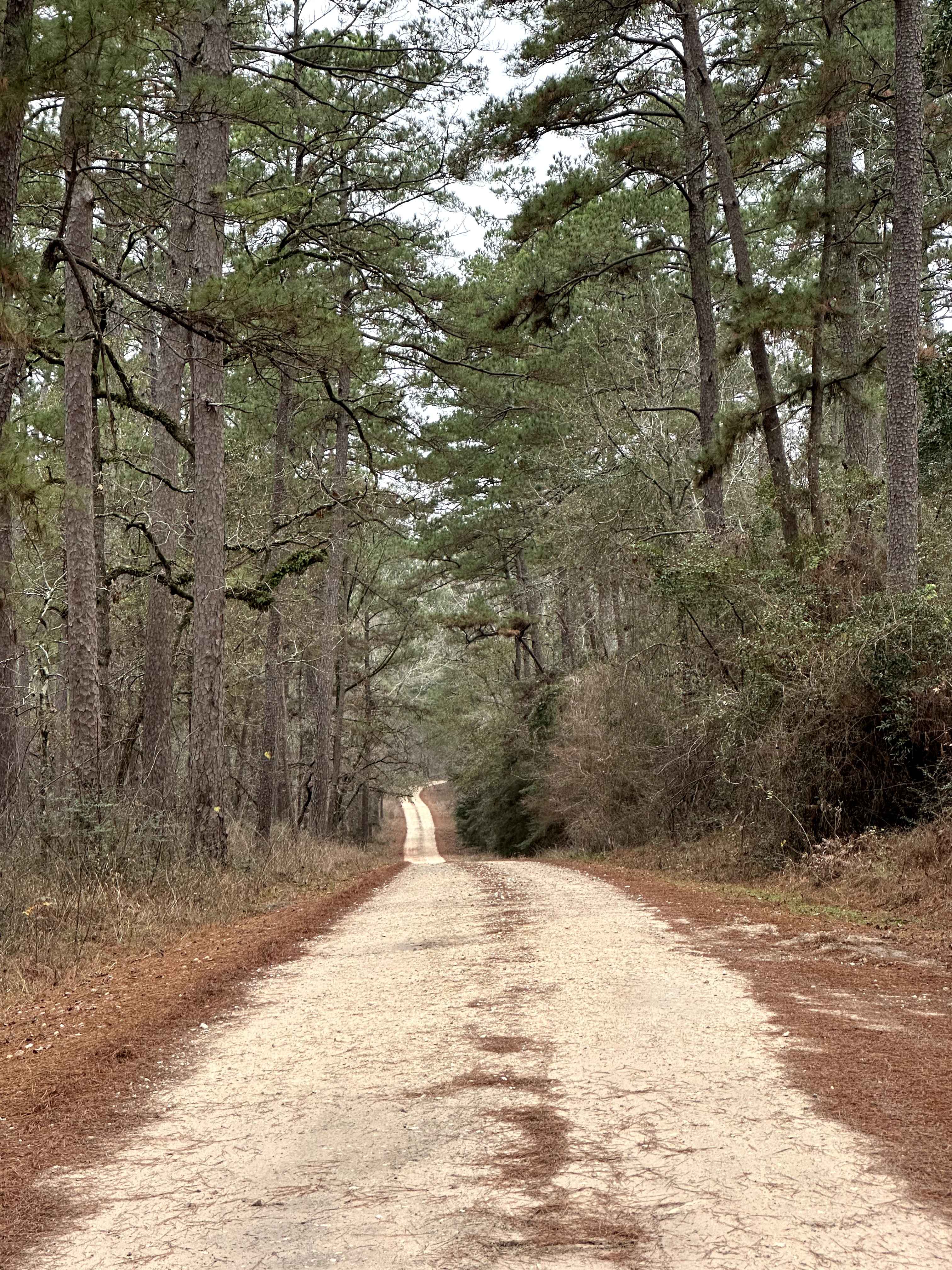
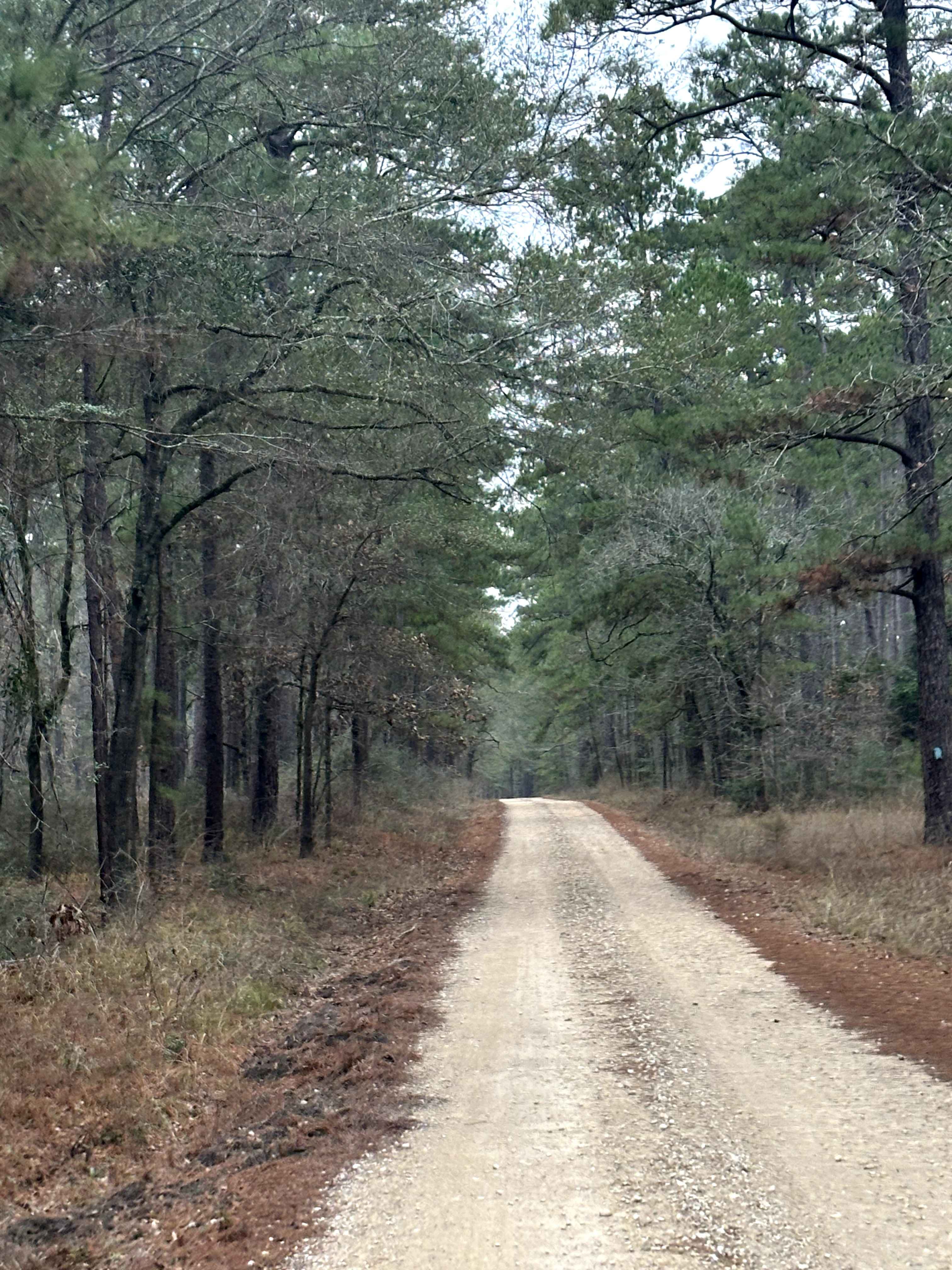
Trail Overview
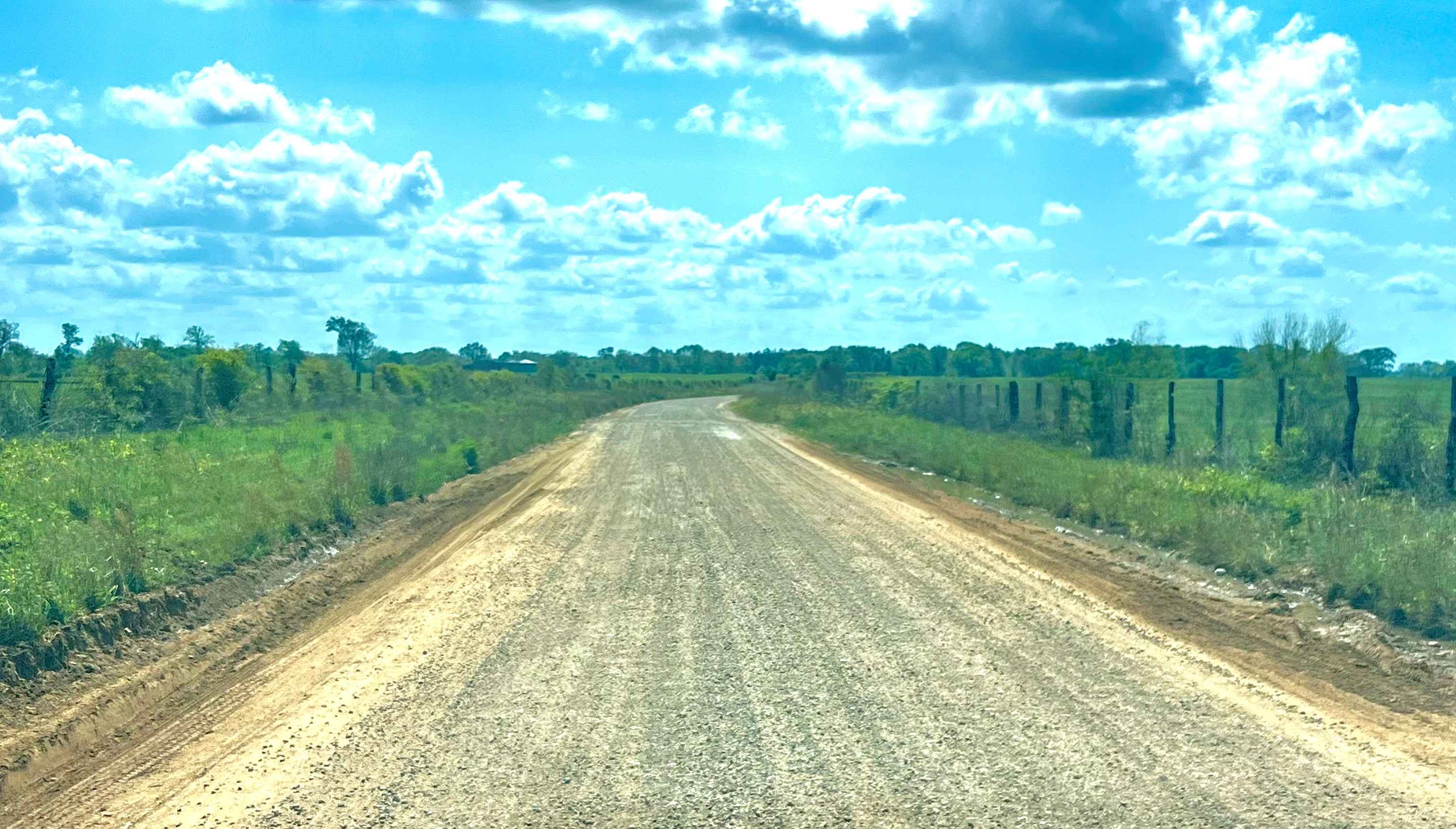
Lynch (FS 209A) is a Forest Service route that runs through a mixed wooded section of Sam Houston National Forest before continuing out of the national forest boundary. The road surface is primarily dirt with intermittent gravel and uneven sections shaped by regular use and weather. Several clearings can be found along the route, offering opportunities for primitive dispersed camping where permitted. This road intersects the Iron Horse Loop multi-use trail twice, resulting in shared use with riders, hikers, and other trail users at multiple points. In dry conditions, most high-clearance vehicles can navigate the route without issue, though traction may vary after rain. Expect limited cell service, mixed recreational traffic near trail crossings, and no services along the route.
Photos of Lynch - FS 209A
Difficulty
This route is rated Easy due to its relatively wide dirt surface and lack of technical obstacles. It is generally passable for most high-clearance vehicles in dry conditions and serves primarily as a connector route. Difficulty may increase slightly after rain, but no advanced driving skills are required under normal conditions.
Status Reports
Lynch - FS 209A can be accessed by the following ride types:
- High-Clearance 4x4
- SUV
Lynch - FS 209A Map
Popular Trails
Lone Mountain Trail

Boots Off Camp Trail
Tuckers Corner CR4306
The onX Offroad Difference
onX Offroad combines trail photos, descriptions, difficulty ratings, width restrictions, seasonality, and more in a user-friendly interface. Available on all devices, with offline access and full compatibility with CarPlay and Android Auto. Discover what you’re missing today!