Trail 86 Windrock
Total Miles
1.1
Technical Rating
Best Time
Summer
Trail Type
High-Clearance 4x4 Trail
Accessible By
Trail Overview
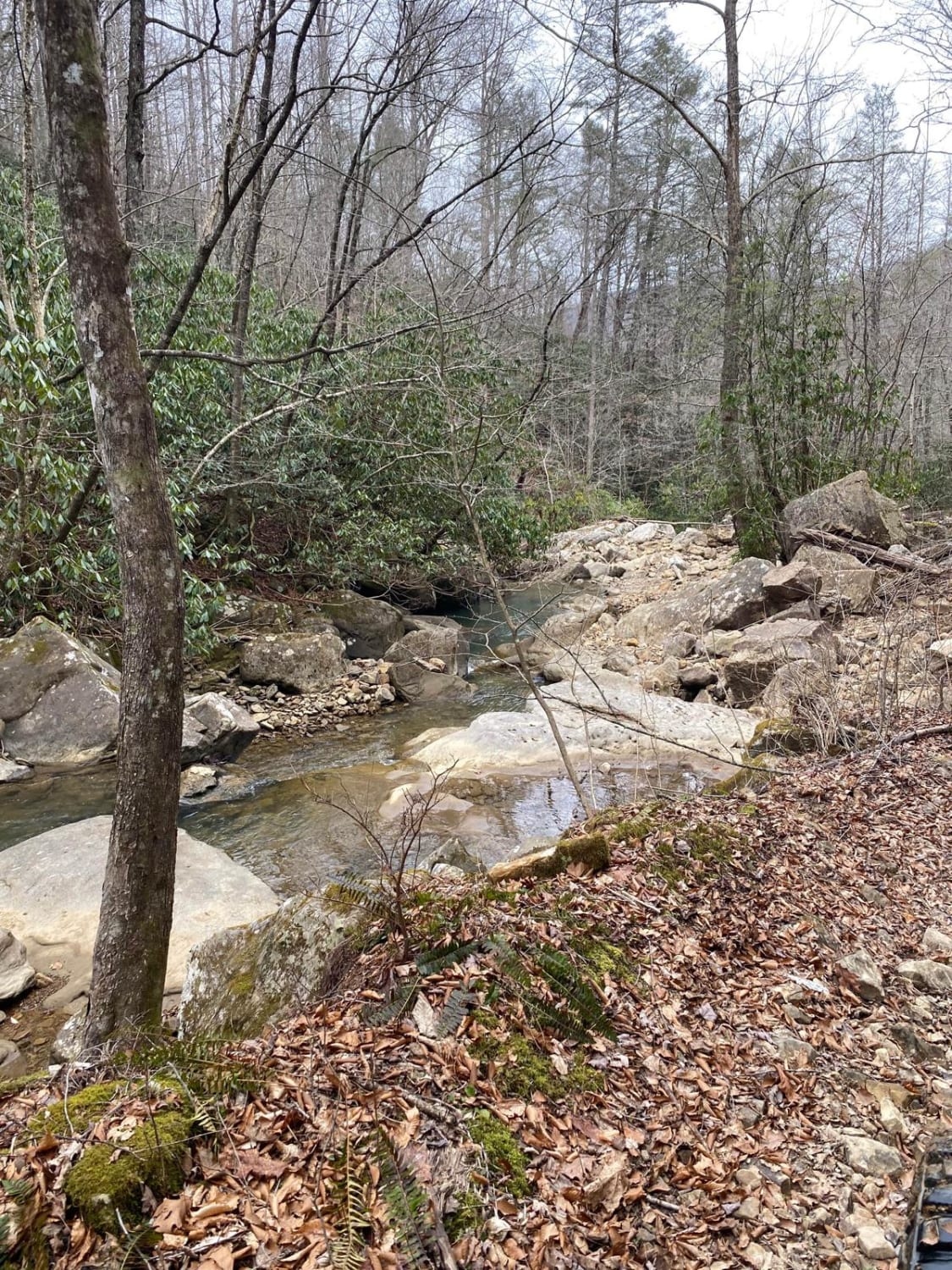
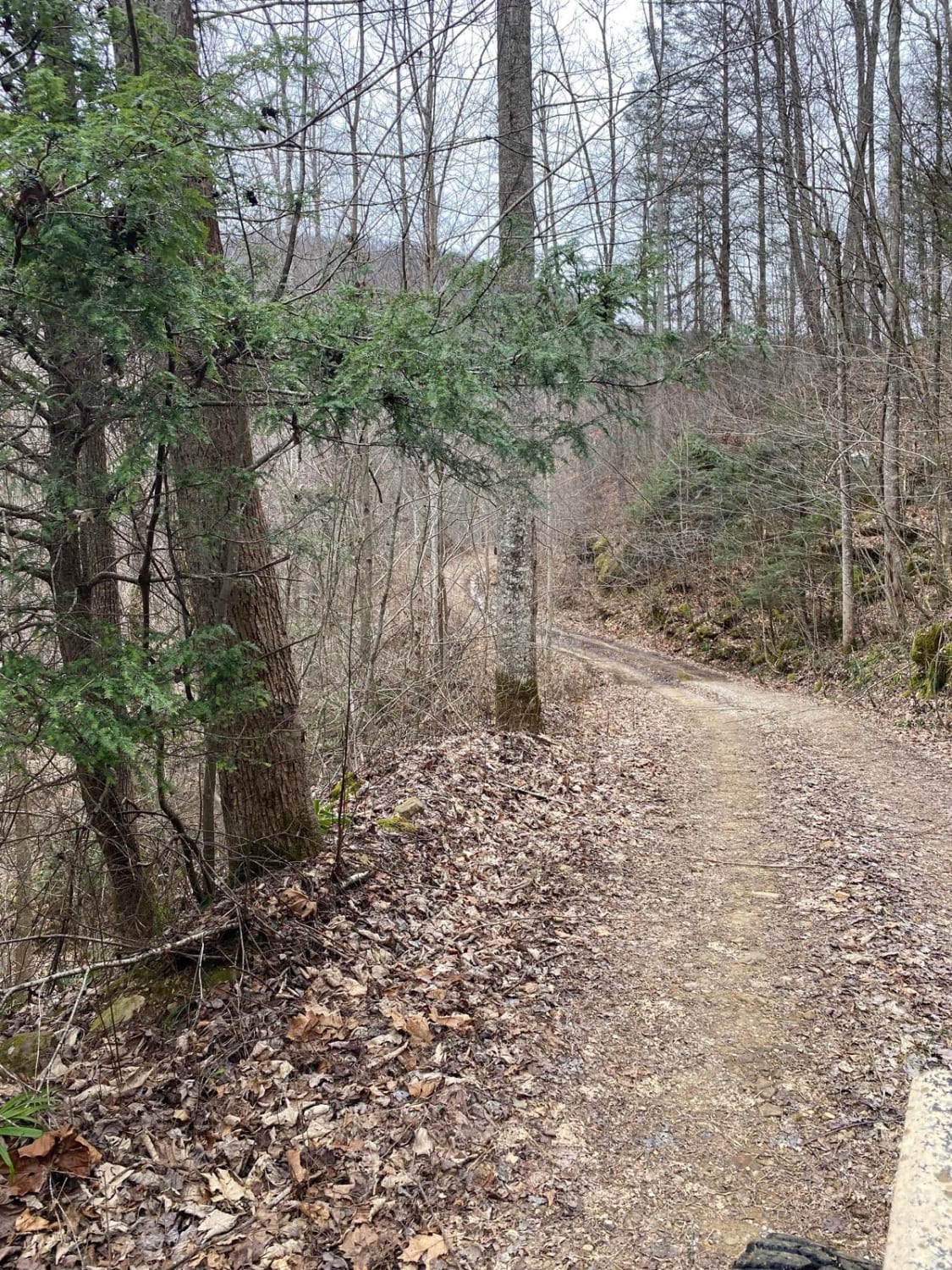
Trail 86 runs along Round Rock Creek. The trail not only runs along the creek but you will have a creek crossing. Please make sure you stay safe during the creek crossing since the area might have excessive rain that could lead to fast-moving water. 86 also will have some mud and rock. There is no cellphone service.
Photos of Trail 86 Windrock
Difficulty
Rated a 4 since there is mud, rock, and a creek crossing.
Status Reports
Trail 86 Windrock can be accessed by the following ride types:
- High-Clearance 4x4
Trail 86 Windrock Map
Popular Trails

1 - Launchpad
Barrow Cemetery FSR 376

Bark Camp- Lost Cove- Miller's Ridge

Bear Creek Road
The onX Offroad Difference
onX Offroad combines trail photos, descriptions, difficulty ratings, width restrictions, seasonality, and more in a user-friendly interface. Available on all devices, with offline access and full compatibility with CarPlay and Android Auto. Discover what you’re missing today!