Red Oak Mountain Road
Total Miles
2.8
Technical Rating
Best Time
Spring, Summer, Fall
Trail Type
High-Clearance 4x4 Trail
Accessible By
Trail Overview
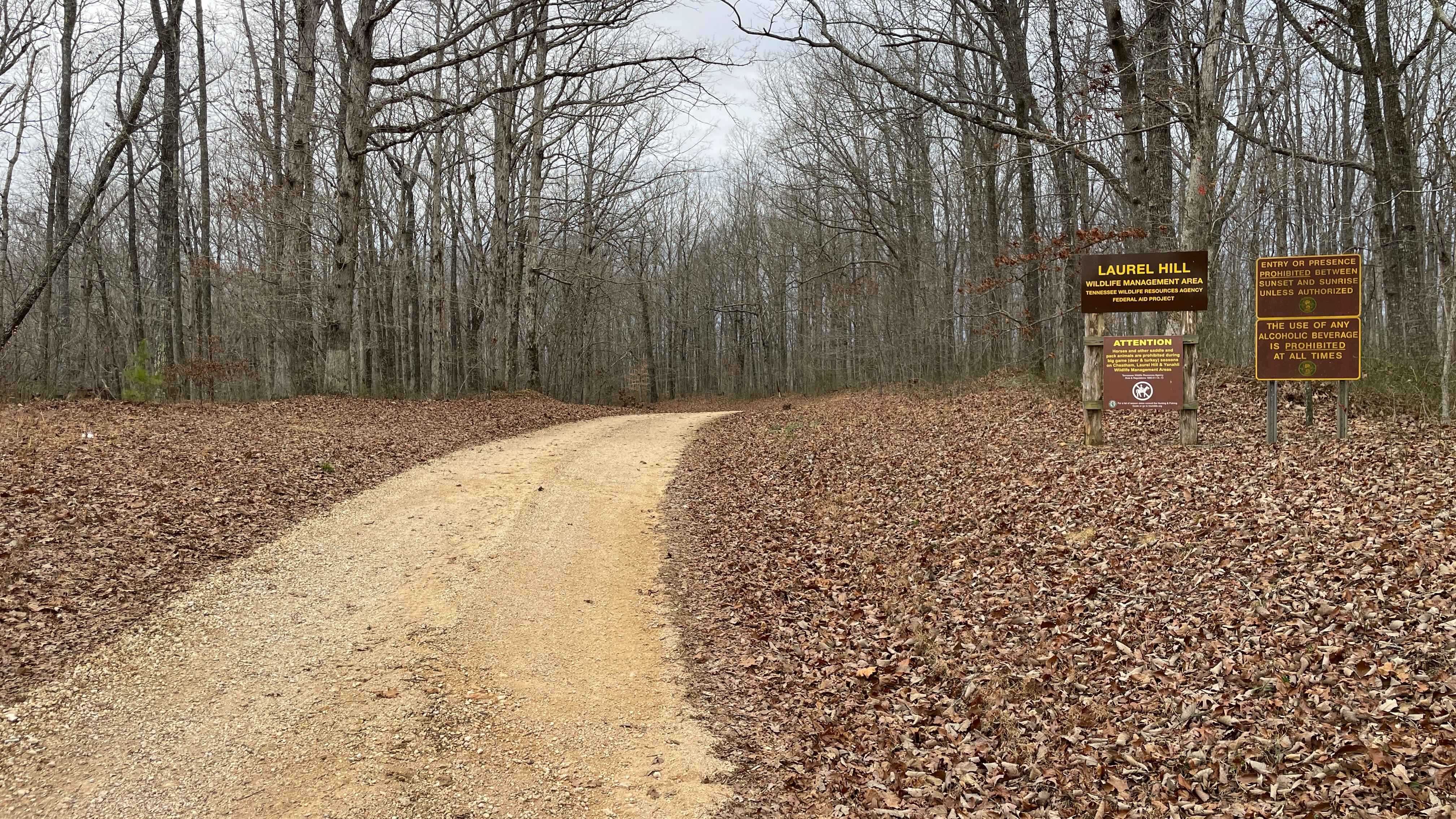
Red Oak Mountain Road in the North Cumberland Wildlife Management Area's Royal Blue Unit is an easy forest access route well suited for ATVs, side-by-sides, and high-clearance 4x4 vehicles exploring the trail network around Red Oak Mountain. The road begins near the confluence of Ligias Fork and gradually climbs through the forest toward the higher elevations of Red Oak Mountain, serving as a primary entry corridor into this portion of the WMA. The surface is typically a maintained mix of compacted dirt and gravel with scattered small rock, similar to other service roads used for both recreation and land management throughout the Royal Blue Unit. Because of its moderate grades and relatively consistent surface, the route provides a reliable way to reach multiple connecting trails and backcountry routes branching across the surrounding ridges. As the road ascends away from the Ligias Fork drainage, riders and drivers may encounter loose gravel, shallow washboard sections, and minor erosion that develop over time on unpaved mountain roads. Blind corners and narrower segments along the climb require careful speeds, especially with mixed vehicle traffic using the corridor to reach nearby trails. After heavy rain, muddy patches and shallow ruts can appear in low areas or along the edges of the road, though the main route typically remains passable for most off-road capable vehicles. The forested slopes surrounding Red Oak Mountain provide a remote backcountry setting, and cellular service can be limited across much of the area.
Photos of Red Oak Mountain Road
Difficulty
Red Oak Road earns an easy rating because it is a maintained gravel road with no major rocks, ruts, mud holes, or technical obstacles. The main challenges are the steady uphill grade, blind curves, and the possibility of meeting other vehicles or trail traffic along the way. Most high-clearance vehicles should have no issue completing this route in dry conditions, but drivers should slow down around curves and use caution after heavy rain.
Status Reports
Red Oak Mountain Road can be accessed by the following ride types:
- High-Clearance 4x4
- SxS (60")
- ATV (50")
- Dirt Bike
Red Oak Mountain Road Map
Popular Trails

Sneed Hollow Road
Finnie Road
The onX Offroad Difference
onX Offroad combines trail photos, descriptions, difficulty ratings, width restrictions, seasonality, and more in a user-friendly interface. Available on all devices, with offline access and full compatibility with CarPlay and Android Auto. Discover what you’re missing today!