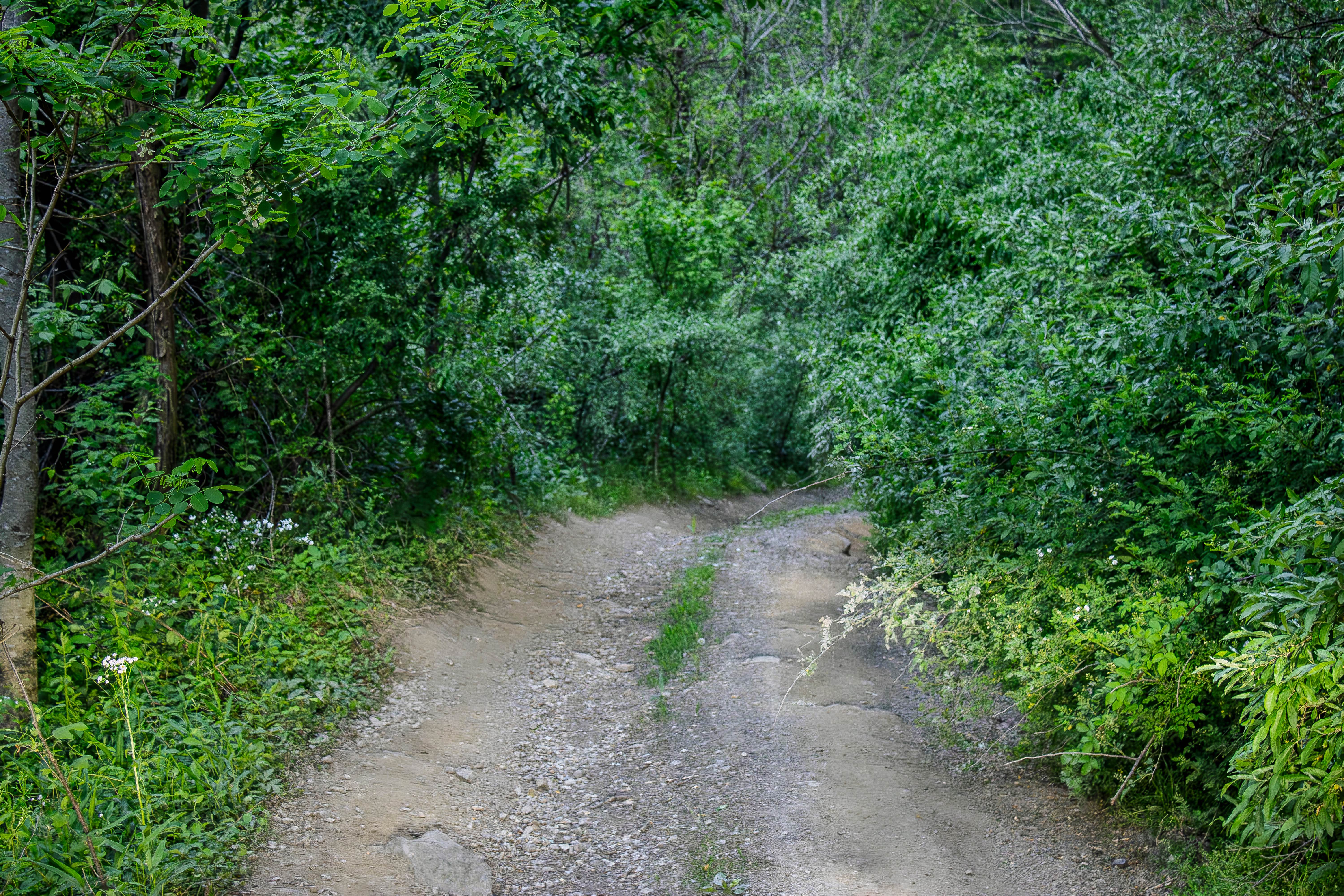
Phillips Cemetery Lane
Total Miles
0.7
Technical Rating
Best Time
Spring, Summer, Fall, Winter
Trail Type
Full-Width Road
Accessible By
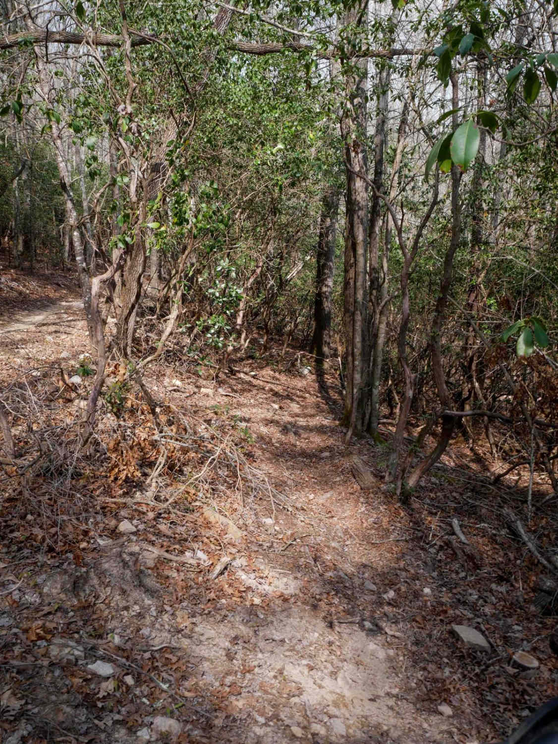
Trail Overview
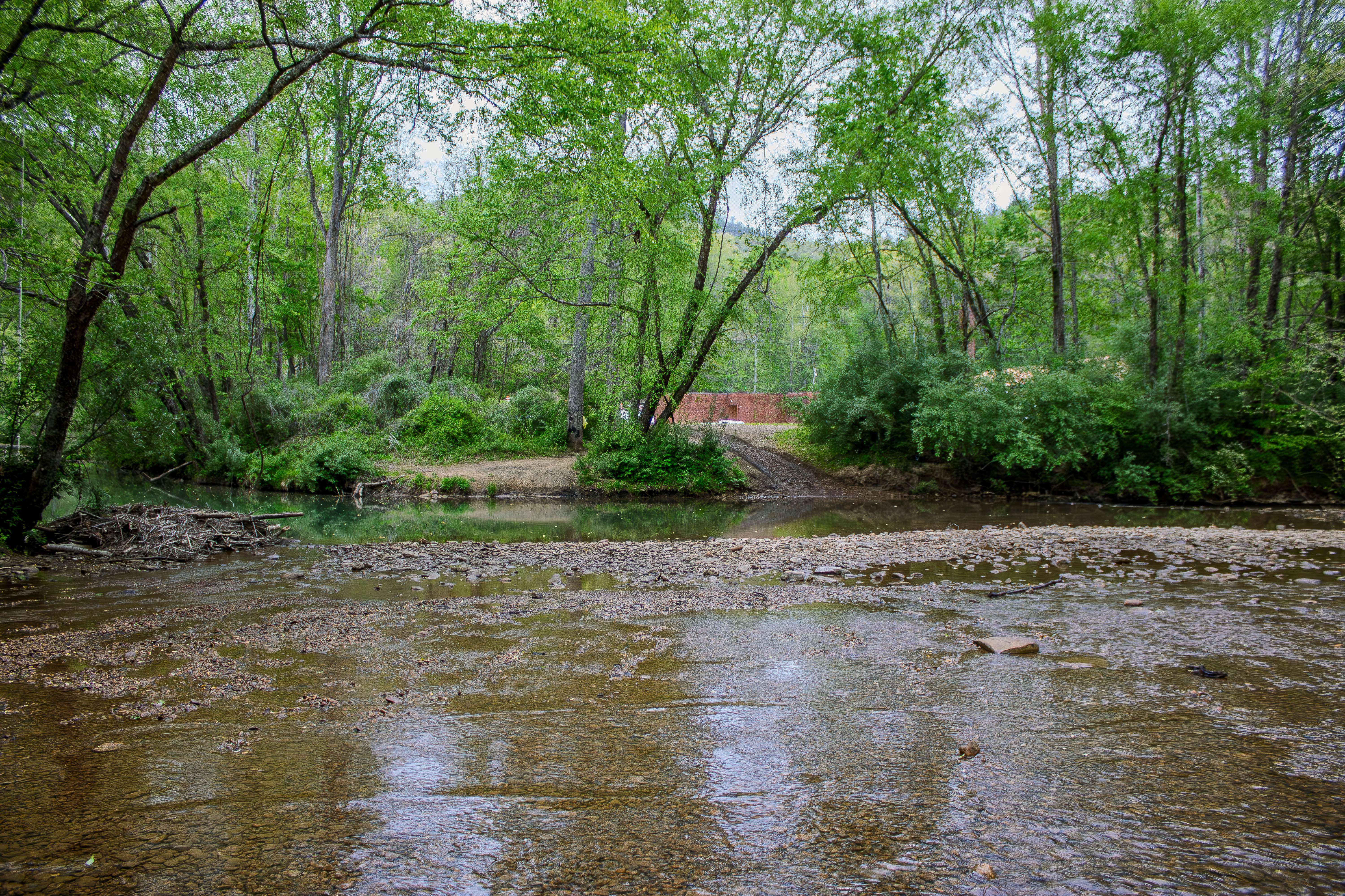
Phillips Cemetery Lane is a two-way gravel trail that connects off 116 Road and travels toward Phillips Cemetery. The route also connects to R59, making it a useful connector in the New River and Red Oak Mountain area. The road surface is mostly gravel, but the main feature of this trail is the New River crossing. The river crossing averages around 12 to 24 inches deep, depending on the line you take through the water. After rain, the crossing can become much deeper, and the current can become strong enough to make it unsafe. Drivers should always stop, check the water depth, watch the current, and make sure the crossing is safe before entering. Do not attempt the crossing during high water or fast-moving conditions. Near the river, there is a place to pull over and enjoy the views. This is one of the better stops along the route, especially during warmer months. The New River is a good place to cool off, swim, relax, and take a break during a ride. There is also an old train bridge nearby that makes a great photo stop and adds some local history to the trail. Phillips Cemetery Lane is not a long or highly technical trail, but the water crossing makes conditions very important. In dry weather and normal water levels, the route is manageable for a high-clearance 4WD vehicle. During or after heavy rain, the river crossing can become dangerous and should be avoided.
Photos of Phillips Cemetery Lane
Difficulty
Phillips Cemetery Lane earns this rating mainly because of the New River crossing. The gravel portions of the trail are not difficult, but the water crossing can range from 12 to 24 inches deep and may become much deeper with rain. The current can also become strong, which adds risk for smaller vehicles, lower-clearance vehicles, or drivers who are not comfortable with water crossings. In normal conditions, this trail is manageable with a capable high-clearance 4WD vehicle, but it can quickly become unsafe after storms.
Status Reports
Phillips Cemetery Lane can be accessed by the following ride types:
- High-Clearance 4x4
- SUV
- SxS (60")
- ATV (50")
- Dirt Bike
Phillips Cemetery Lane Map
Popular Trails

Porter Branch Road
Phillips Cemetery Lane

Citico Creek North
The onX Offroad Difference
onX Offroad combines trail photos, descriptions, difficulty ratings, width restrictions, seasonality, and more in a user-friendly interface. Available on all devices, with offline access and full compatibility with CarPlay and Android Auto. Discover what you’re missing today!