Slate Creek Rim Trail
Total Miles
1.6
Technical Rating
Best Time
Spring, Summer, Fall, Winter
Trail Type
Full-Width Road
Accessible By
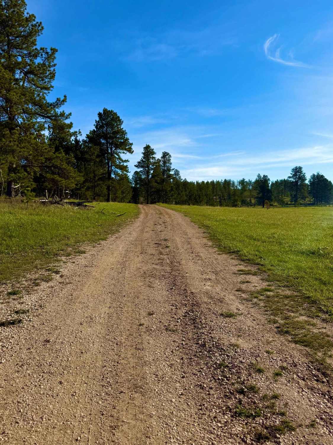
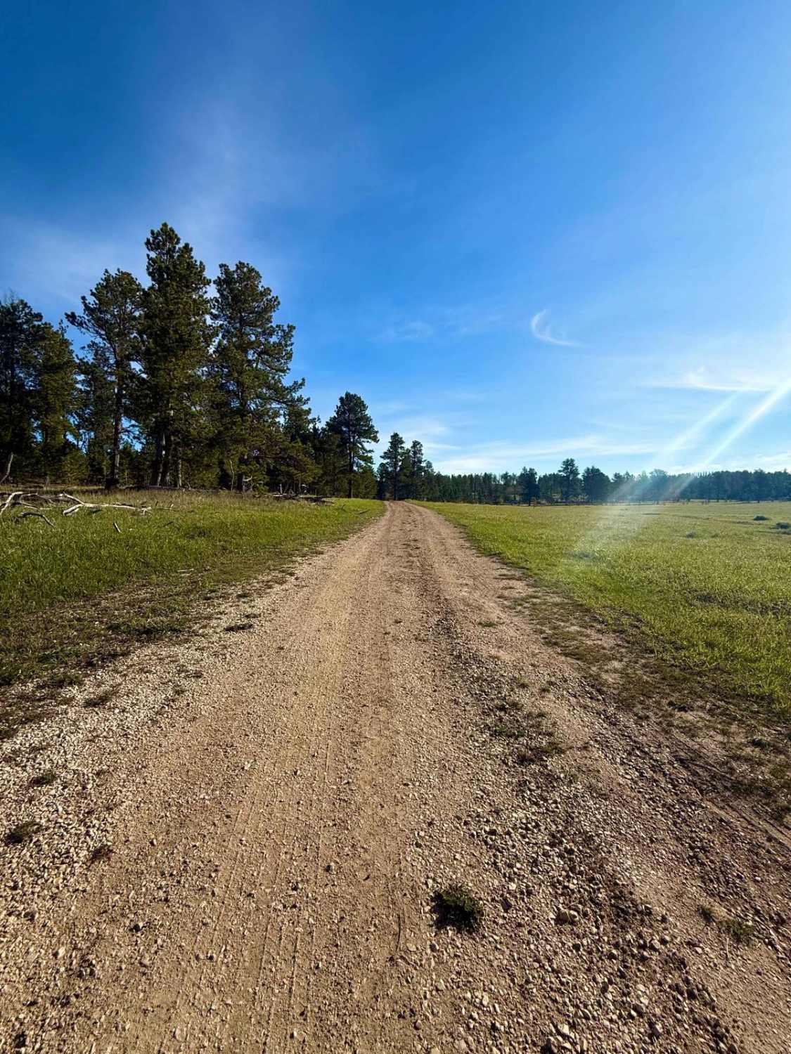
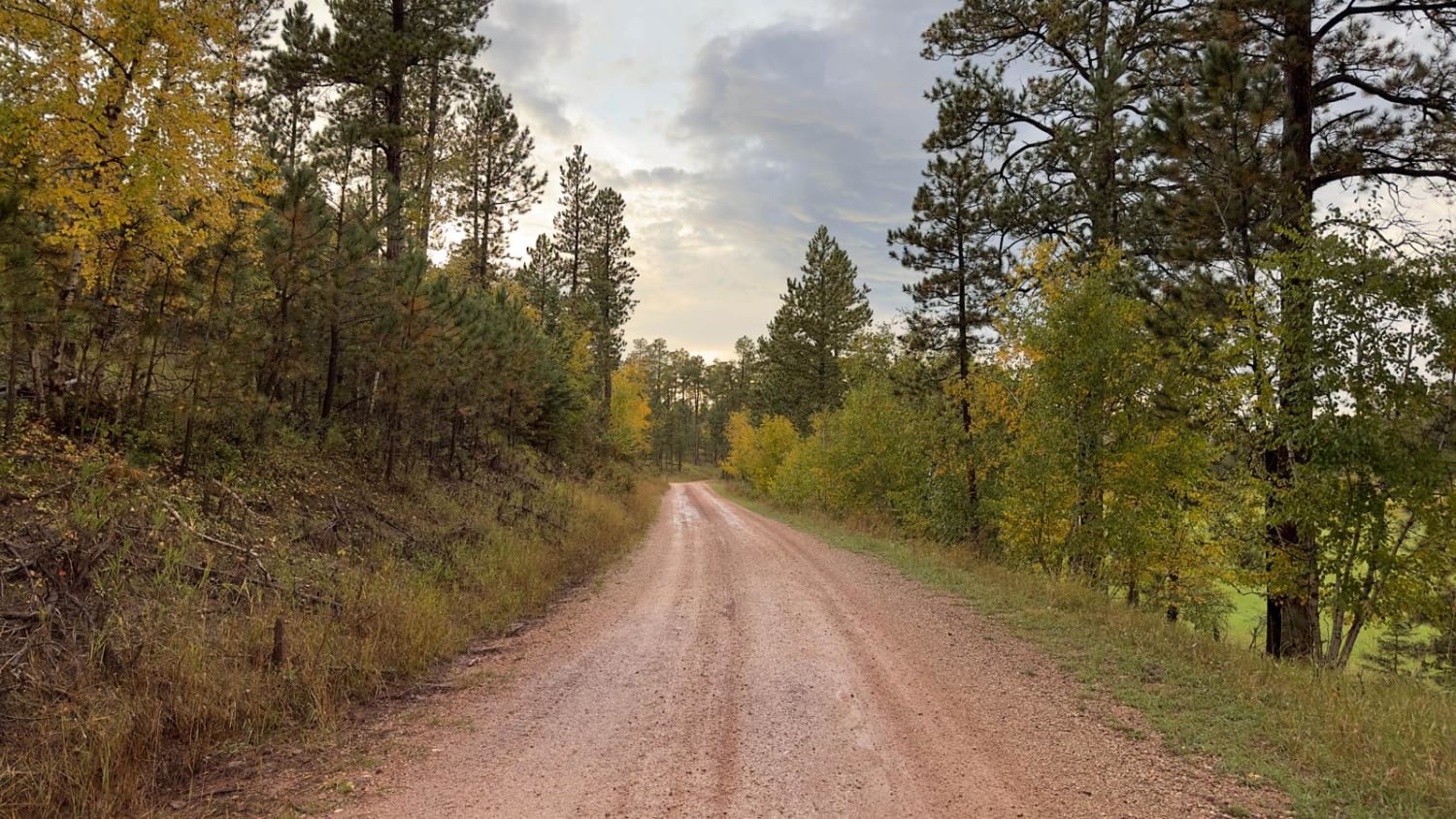
Trail Overview
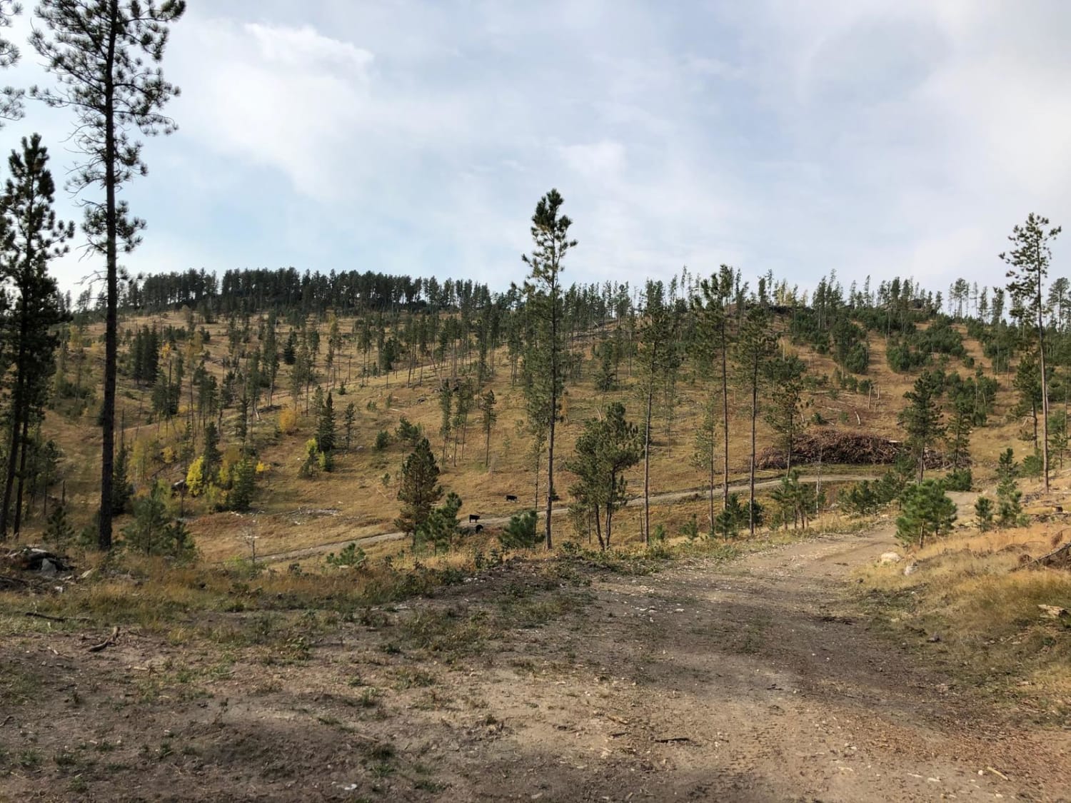
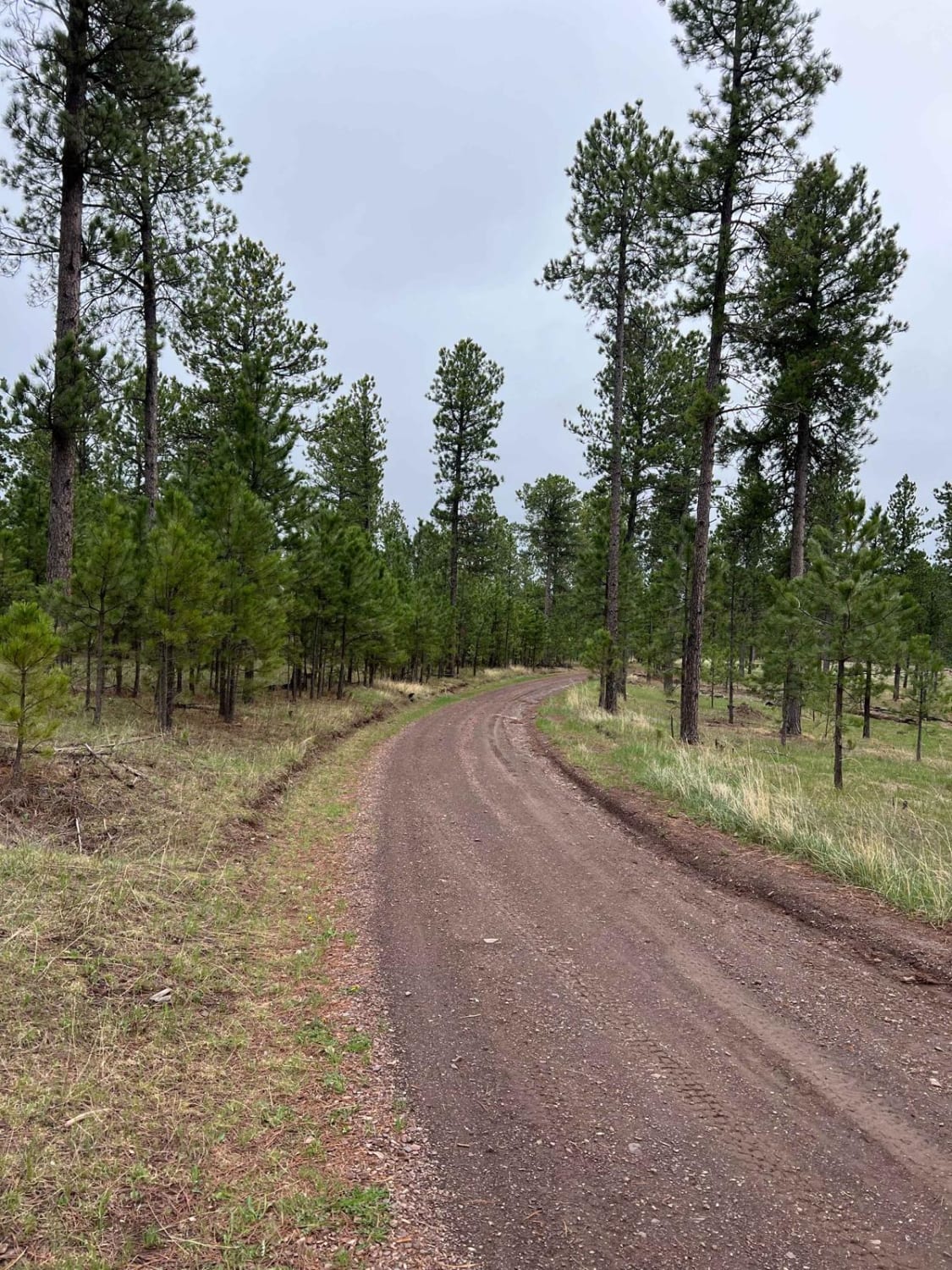
Slate Creek Rim Trail is a scenic, lesser-traveled route nestled within the Black Hills National Forest, offering a tranquil escape through dense pine forests and striking geological formations. This trail meanders alongside Slate Creek, providing opportunities for wildlife viewing and photography. While designated camping spots are limited, the trail offers access to nearby dispersed camping areas, making it suitable for those seeking a peaceful retreat. The route is characterized by its smooth surface and gentle grades, accommodating most vehicles in dry conditions. Slate Creek Rim Trail is part of the extensive network of roads and trails within the Black Hills National Forest, which encompasses over 3,600 miles of open roads and more than 650 miles of designated trails for Off-Highway Vehicles (OHVs). This makes it an ideal starting point for exploring the diverse landscapes and recreational opportunities the forest has to offer. Pack in, pack out, leave no trace, and tread lightly.
Photos of Slate Creek Rim Trail
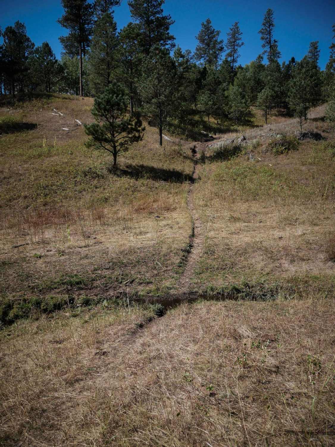
Difficulty
This is an uneven, muddy dirt road without any obstacles.
Status Reports
Slate Creek Rim Trail can be accessed by the following ride types:
- High-Clearance 4x4
- SUV
- SxS (60")
- ATV (50")
- Dirt Bike
Slate Creek Rim Trail Map
Popular Trails
Kelly Spur Road (FS 136) Loop
Boodleman Forest Road
The onX Offroad Difference
onX Offroad combines trail photos, descriptions, difficulty ratings, width restrictions, seasonality, and more in a user-friendly interface. Available on all devices, with offline access and full compatibility with CarPlay and Android Auto. Discover what you’re missing today!