Lost Gulch - FS 172.1
Total Miles
5.0
Technical Rating
Best Time
Summer
Trail Type
Full-Width Road
Accessible By
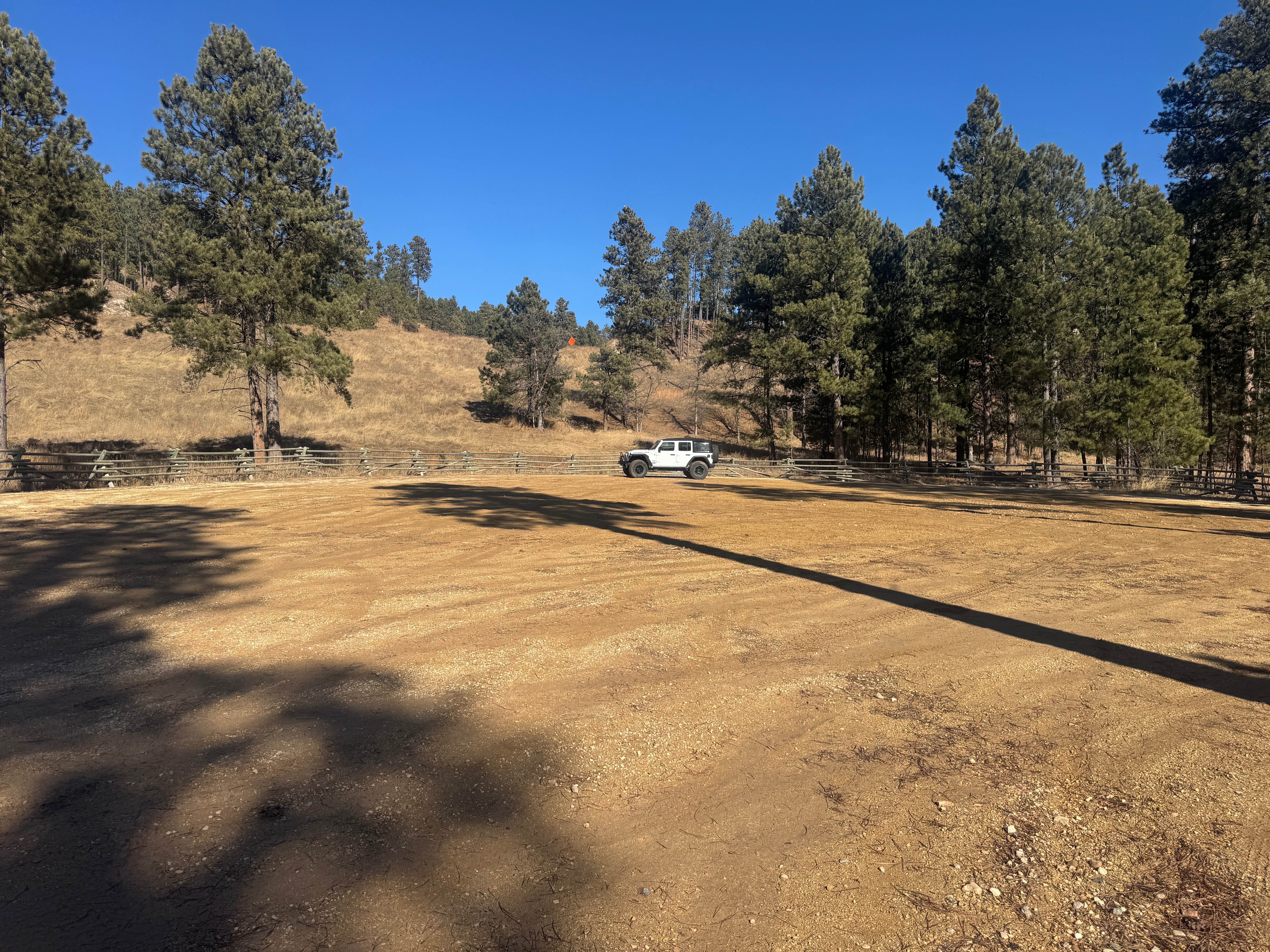
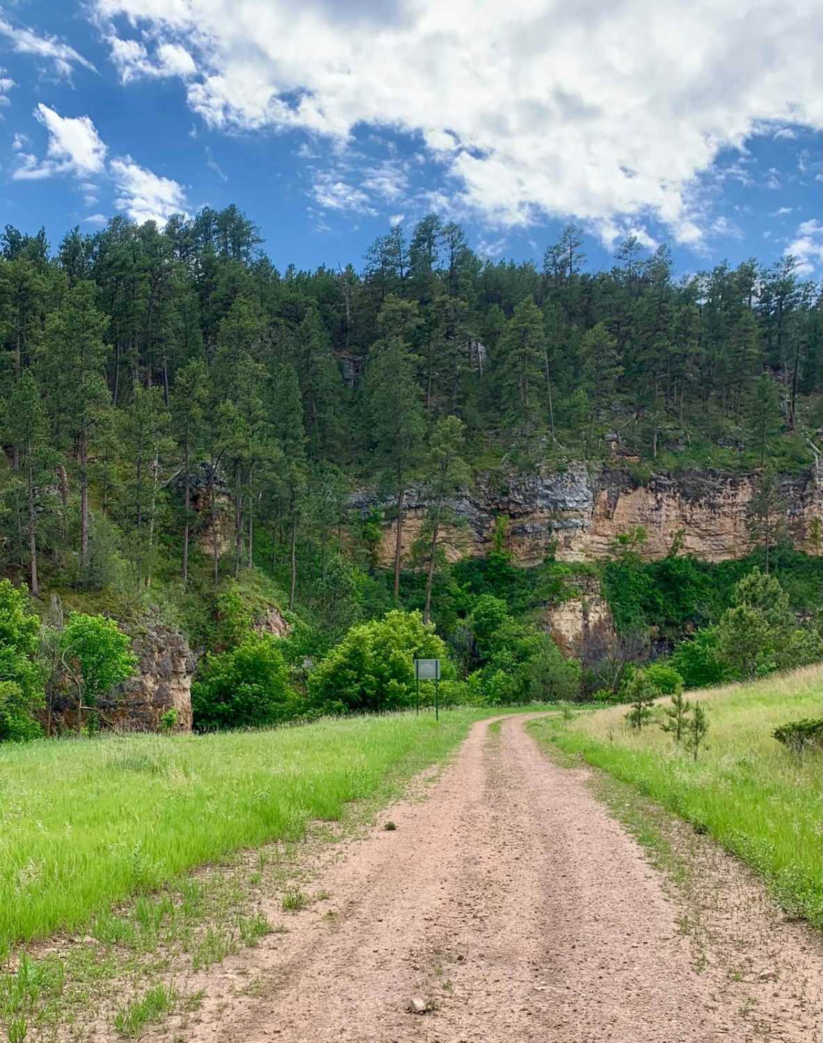
Trail Overview
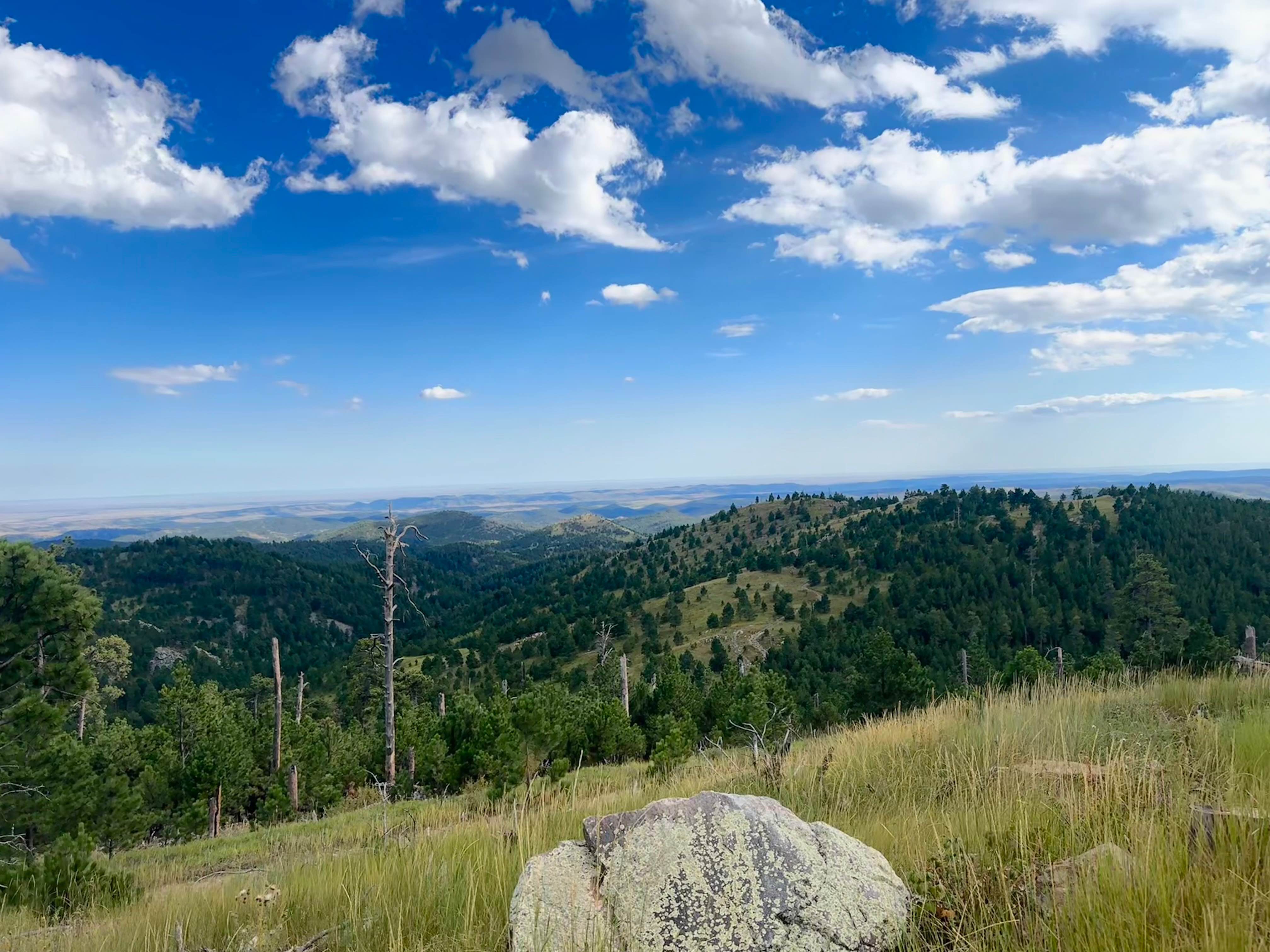
Lost Gulch (FS 172.1) is a minimally maintained forest service road that takes you between the Camp 5 area and Galena. This trail runs north and south. This trail is a combination of hard-packed dirt, loose rocks, larger stationary rocks, and loose gravel. There are large ruts and mud puddles throughout the trail that can be exacerbated depending on local precipitation levels. Mild to more moderate hills with loose rocks and rocky outcroppings are found throughout. The Camp 5 trailhead has a large parking area for trailers and is also a popular dispersed camping area. This area sees heavy traffic in the summer months. Along the route is an intersection with FS 567.1 at (44.36498, -103.61944), which will take you over to the Bear Den trail. A notable lookout over the town of Galena can be found at the southern point of the trail at (44.33869, -103.64008).
Photos of Lost Gulch - FS 172.1

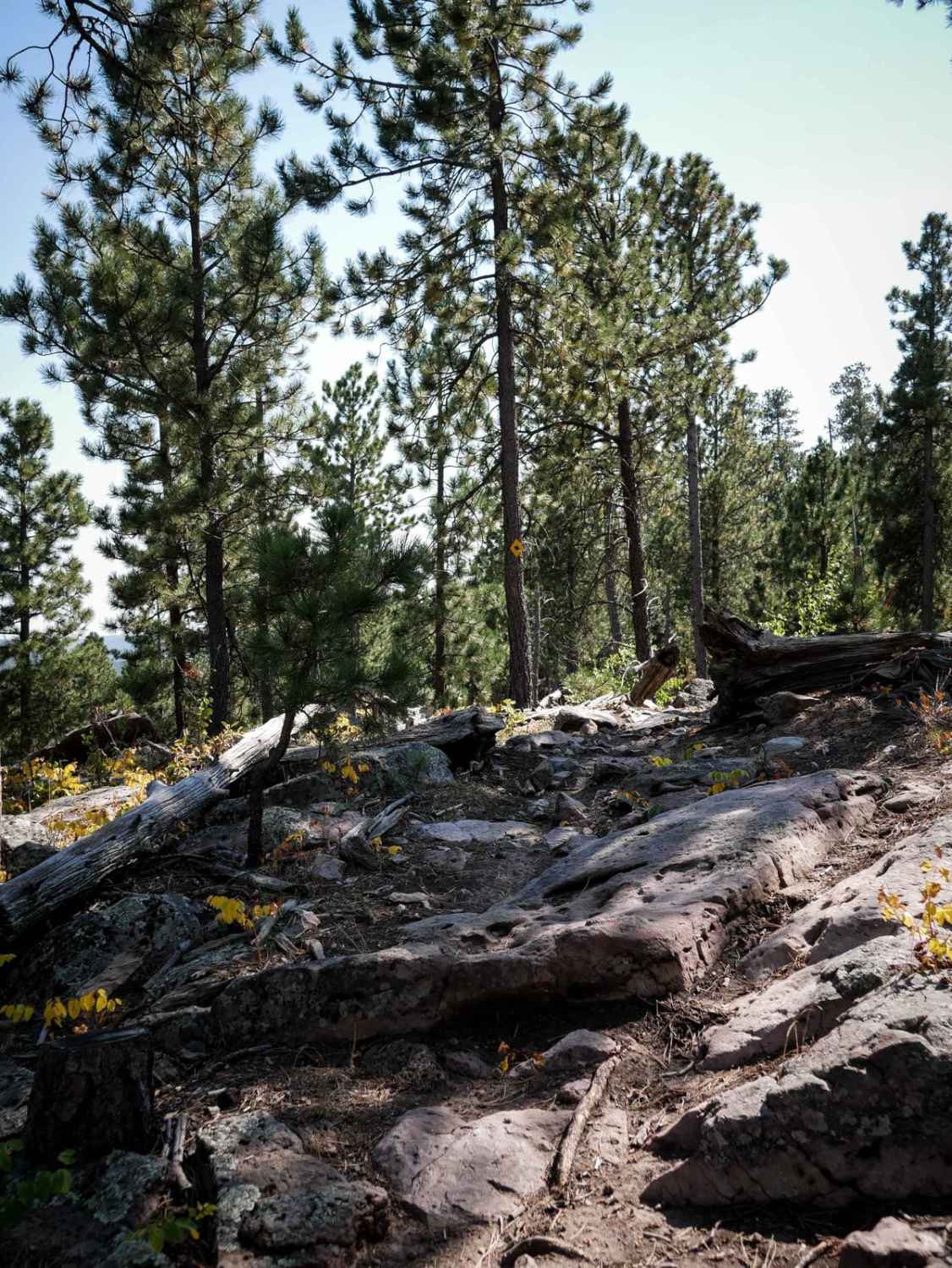
Difficulty
Lost Gulch (FS 172.1) is a generally moderate trail. Large sections of the trail are packed dirt and gravel that would be a 2/10. The rutted segments of the trail can be deep, 12 inches in spots, and depending on current weather conditions, could be deeper. There are water control burms throughout the trail that do accumulate water, and depending on the weather, may have mud puddles around 6 inches deep. The southern end of the trail is the most difficult with long, steep climbs, loose rocks, and ledges. This southern section is what makes this trail a 4/10. Lower clearance vehicles will have a very hard time navigating the hill climbs, ledges, and ruts. This trail's difficulty would increase in inclement weather.
History
The southern tip of this trail is the historic ghost town of Galena. The first large silver mining town was founded in 1876. Initially settled during the gold rush, prospectors instead found rich lead-silver ore (galena), leading to a peak population of 1,500 to 2,000 residents, an 1882 schoolhouse, and famous mines like the Sitting Bull. The schoolhouse still remains and has been restored. It is a great stop to learn some of the local history.
Status Reports
Lost Gulch - FS 172.1 can be accessed by the following ride types:
- High-Clearance 4x4
- SUV
- SxS (60")
- ATV (50")
- Dirt Bike
Lost Gulch - FS 172.1 Map
Popular Trails
Song Dog Road

Victoria 14
Cicero Peak Road
The onX Offroad Difference
onX Offroad combines trail photos, descriptions, difficulty ratings, width restrictions, seasonality, and more in a user-friendly interface. Available on all devices, with offline access and full compatibility with CarPlay and Android Auto. Discover what you’re missing today!