Long Run - 641
Total Miles
4.3
Technical Rating
Best Time
Spring, Summer, Fall, Winter
Trail Type
Full-Width Road
Accessible By
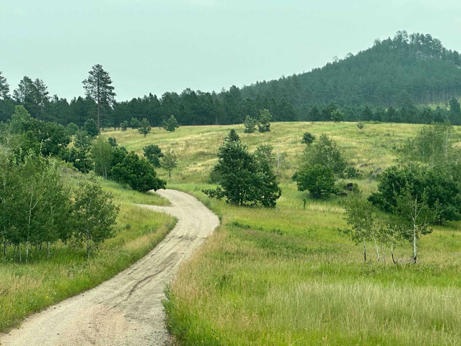
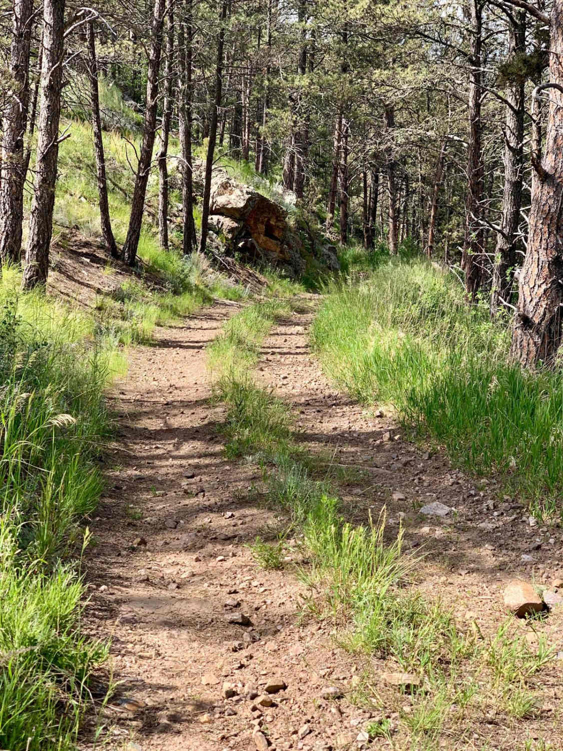
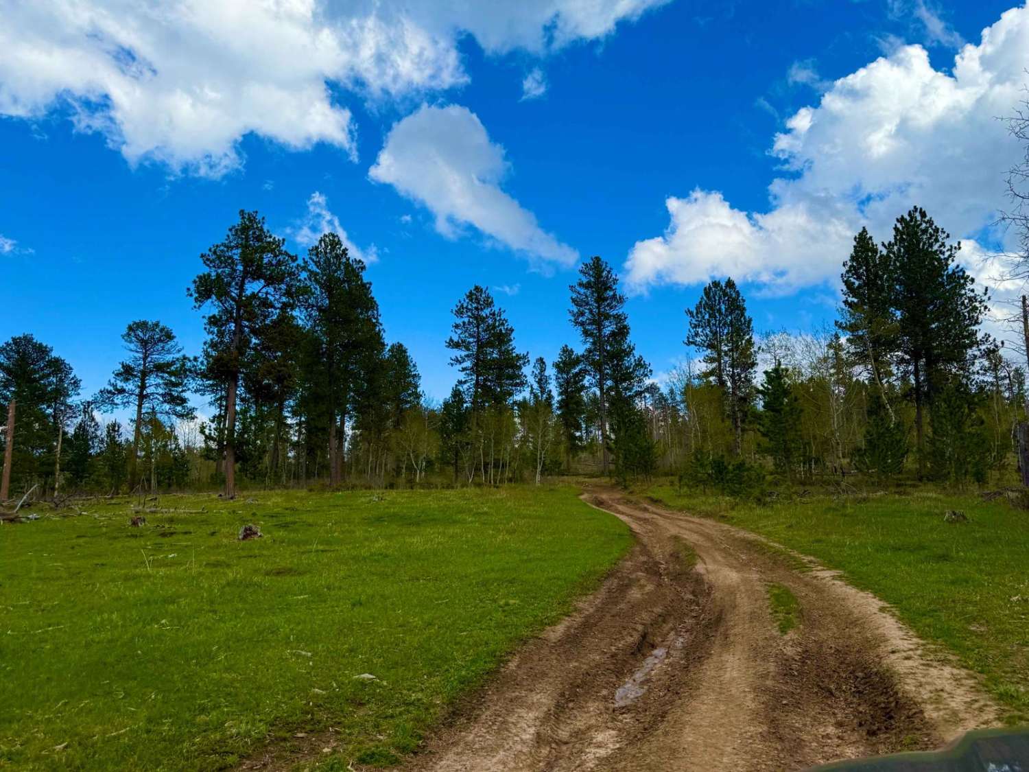
Trail Overview
This trail will run from Foster's Gulch to South Rockerville Road. Along this long run across a high ridge of the Black Hills National Forest, you will have some good scenery and will likely run across some wildlife. The obstacles on this route are a few or simple. A few places where standing water can lead to muddy areas may be the worst issue.
Photos of Long Run - 641

Difficulty
The technical aspects of the route are very easy to maneuver and complete. The worst issue may be areas where standing water can create mud holes.
Status Reports
Long Run - 641 can be accessed by the following ride types:
- High-Clearance 4x4
- SUV
Long Run - 641 Map
Popular Trails
Bowman Road Loop

Six Mile Section 1

South Rapid 231.5
The onX Offroad Difference
onX Offroad combines trail photos, descriptions, difficulty ratings, width restrictions, seasonality, and more in a user-friendly interface. Available on all devices, with offline access and full compatibility with CarPlay and Android Auto. Discover what you’re missing today!