East Slate Road
Total Miles
9.2
Technical Rating
Best Time
Spring, Summer, Fall, Winter
Trail Type
Full-Width Road
Accessible By
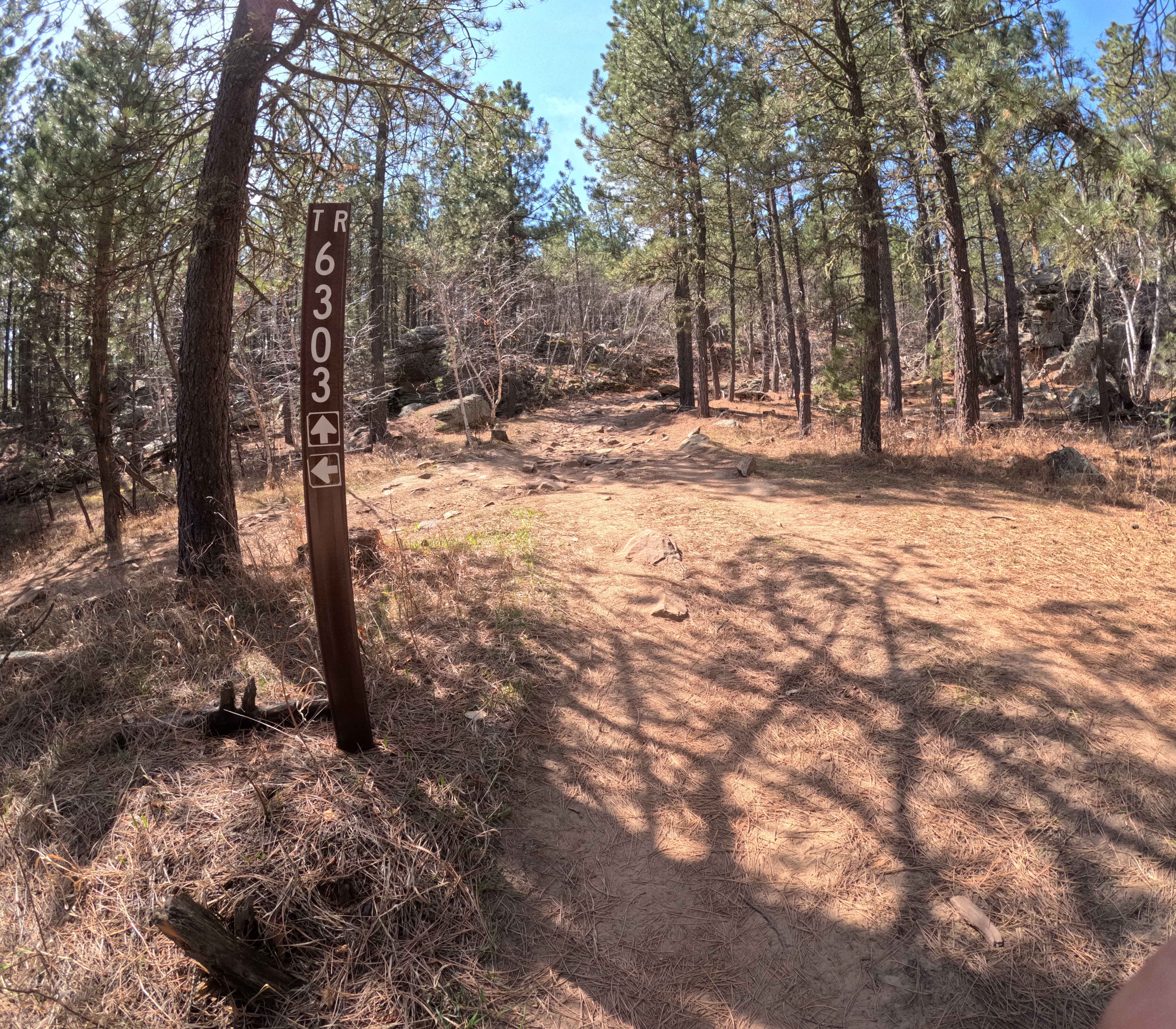
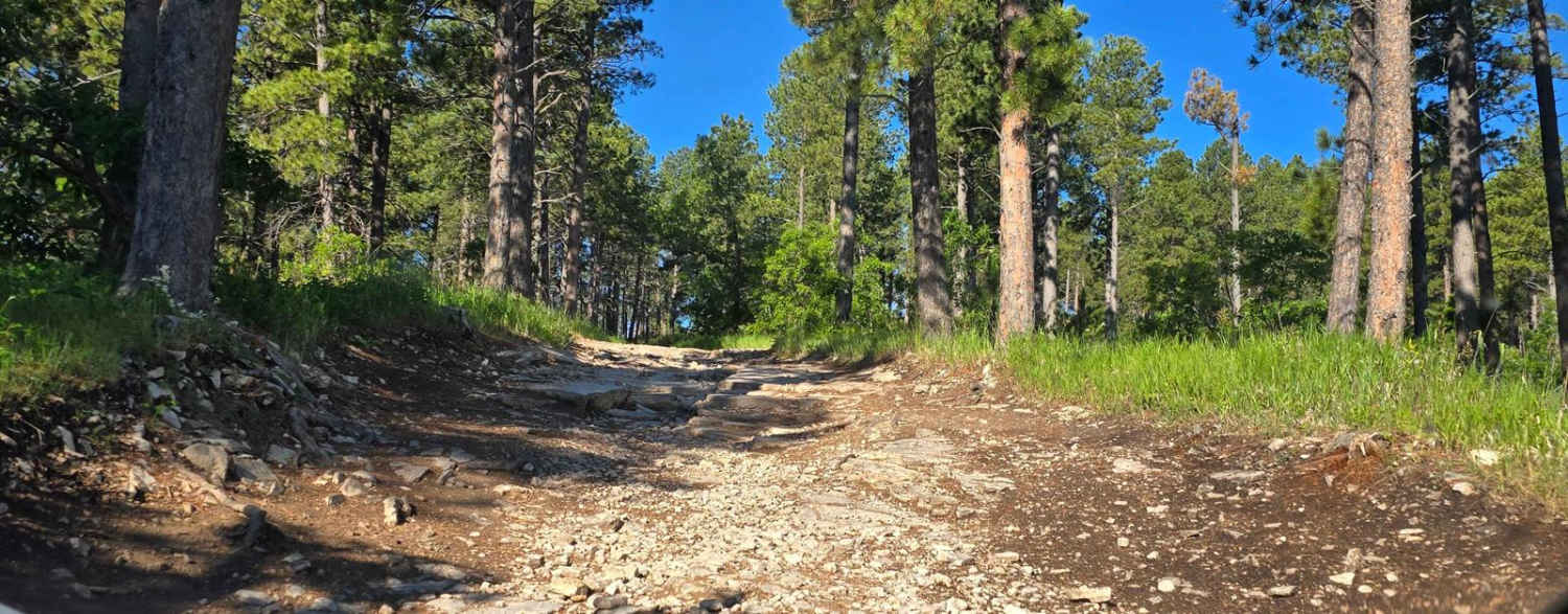
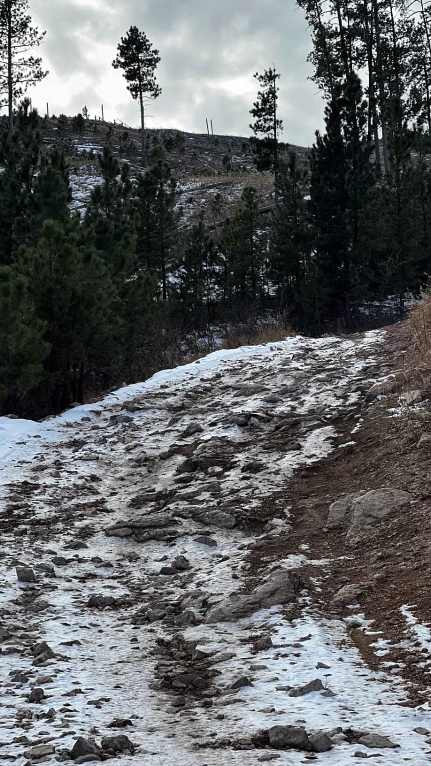
Trail Overview
East Slate Road (FS 303.1) is a well-maintained gravel route nestled in the Black Hills National Forest, connecting with Gillette Prairie Road and providing a scenic corridor through dense pine forests and rolling meadows. This road serves as a valuable connector, offering access to various recreational opportunities, including hiking, biking, and wildlife viewing.PUC South DakotaWhile designated camping spots are limited, the road provides access to nearby trailheads and dispersed camping areas, making it suitable for those seeking a peaceful retreat. The route is characterized by its smooth surface and gentle grades, accommodating most vehicles in dry conditions. East Slate Road is part of the extensive network of roads and trails within the Black Hills National Forest, which encompasses over 3,800 miles of roads and trails for motorized vehicles, with more than 700 miles designated for Off-Highway Vehicles (OHVs). This makes it an ideal starting point for exploring the diverse landscapes and recreational opportunities the forest has to offer. Pack in, pack out, leave no trace, and tread lightly.
Photos of East Slate Road


Difficulty
This is an easy dirt road without any obstacles.
Status Reports
East Slate Road can be accessed by the following ride types:
- High-Clearance 4x4
- SUV
- SxS (60")
- ATV (50")
- Dirt Bike
East Slate Road Map
Popular Trails
Trix - 6311

Gillette Canyon - FS 296
Black Hills Forest Access from Sturgis
Piedmont To Nemo Trail
The onX Offroad Difference
onX Offroad combines trail photos, descriptions, difficulty ratings, width restrictions, seasonality, and more in a user-friendly interface. Available on all devices, with offline access and full compatibility with CarPlay and Android Auto. Discover what you’re missing today!