Ditch Creek Br & Long Canyon
Total Miles
6.6
Technical Rating
Best Time
Fall, Summer, Spring
Trail Type
High-Clearance 4x4 Trail
Accessible By
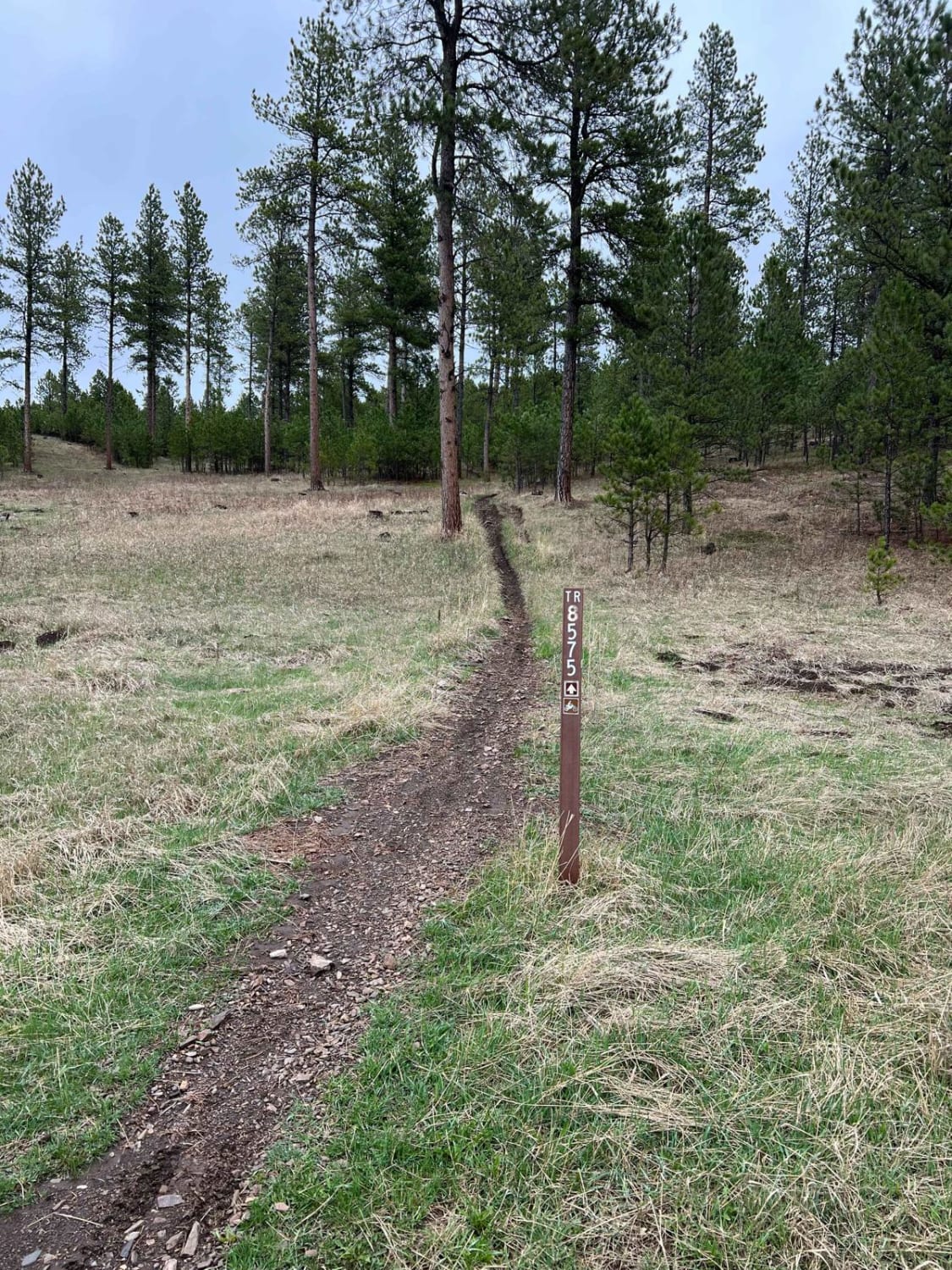
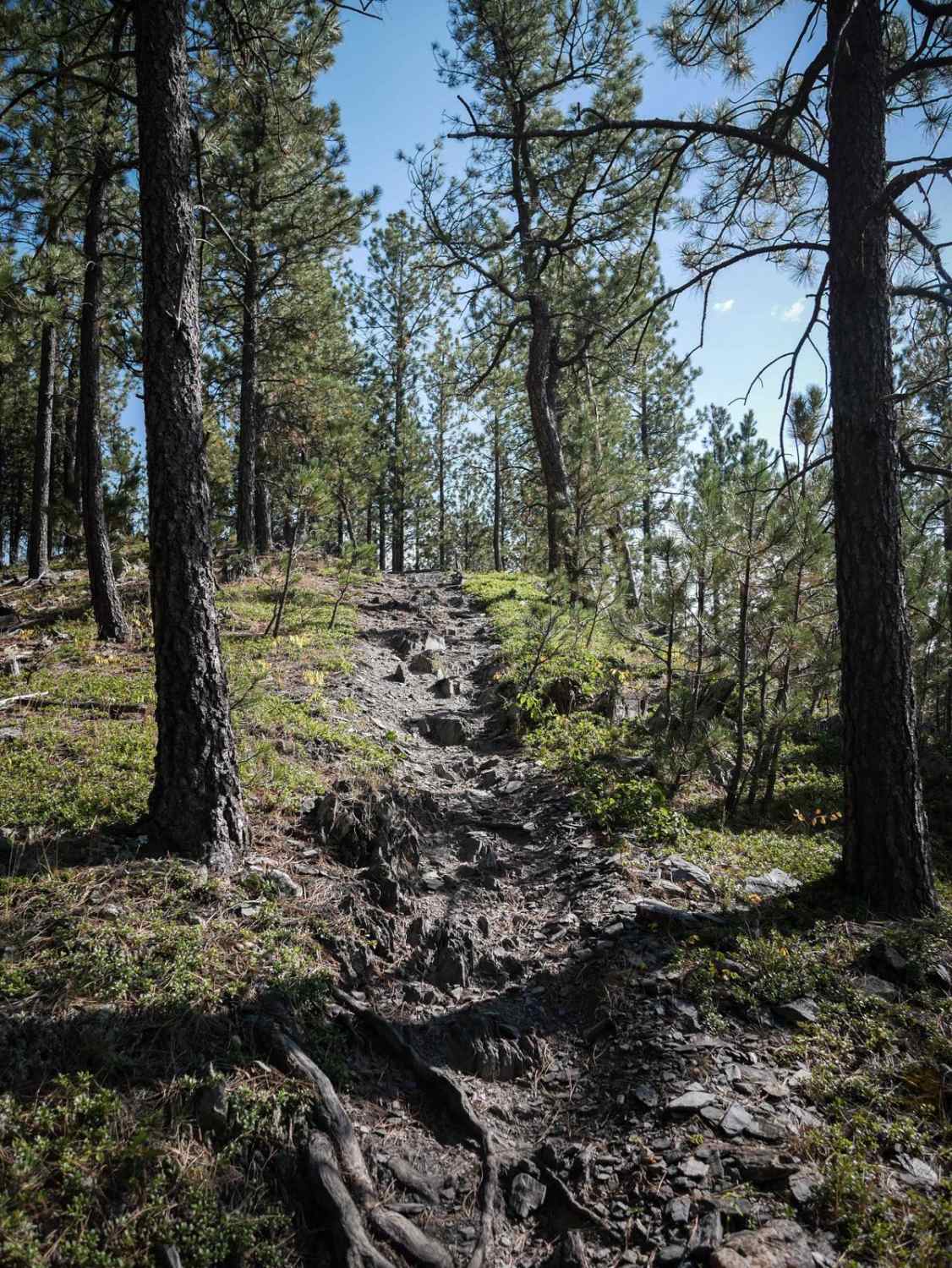
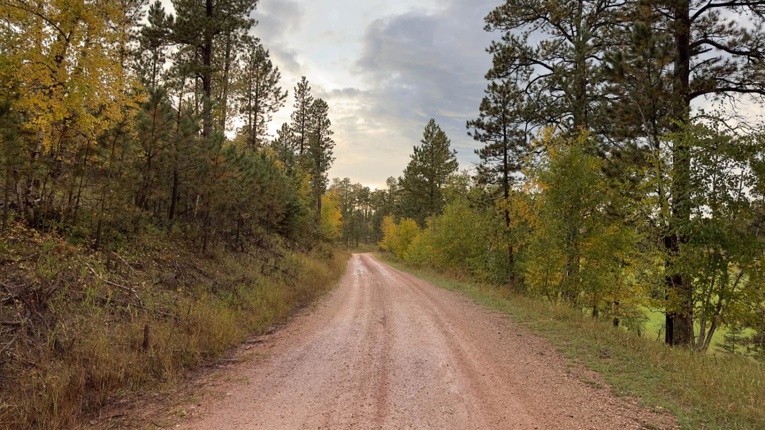
Trail Overview
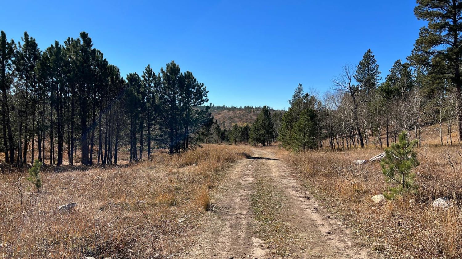
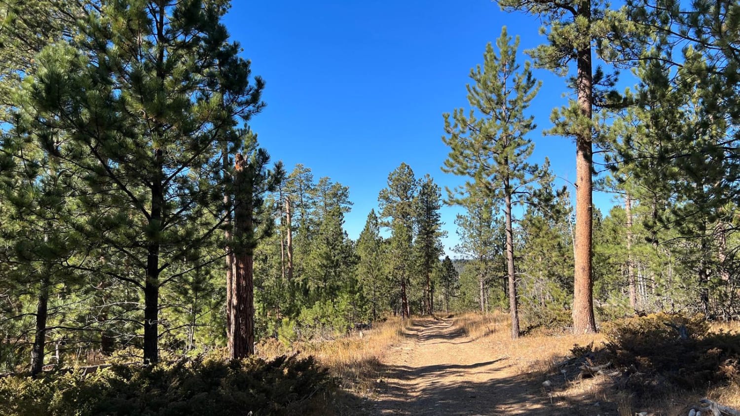
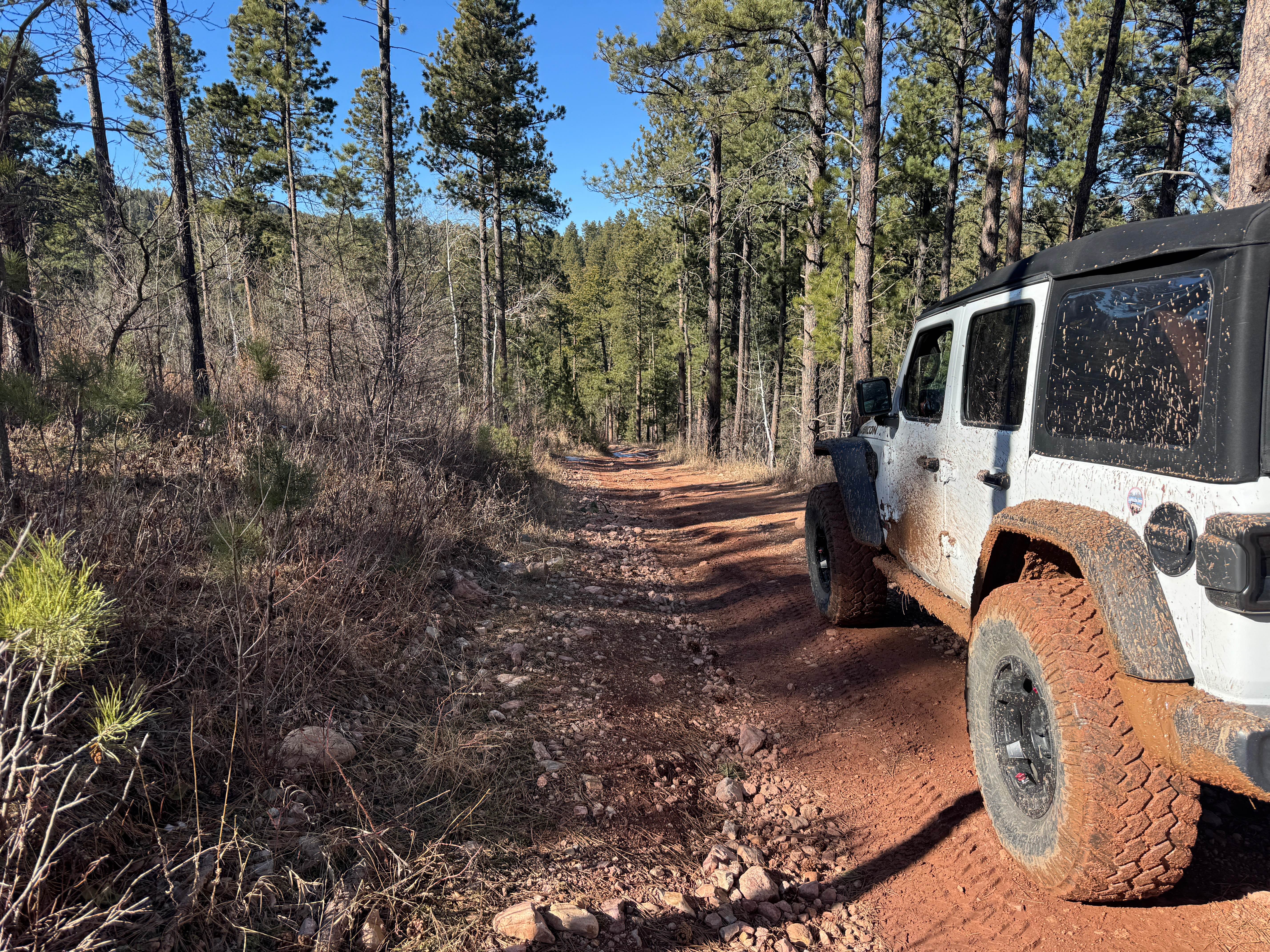
This route runs from Six Mile (north end) along Odakota Mountain, through Long Draw, and down to Ditch Creek (south end). On the east side of the Ditch Creek trailhead lies one of the scenic Black Hills mountain ranges. It's a highly recommended route if traveling north/south along the mountain range down to Bear Mountain Lookout. The route takes you to Ditch Creek 3K which has an overlook at the end that is definitely not to miss.
Photos of Ditch Creek Br & Long Canyon
Difficulty
Dirt and gravel FS road with some mud puddles after recent rain.
Status Reports
Ditch Creek Br & Long Canyon can be accessed by the following ride types:
- High-Clearance 4x4
- SxS (60")
- ATV (50")
- Dirt Bike
Ditch Creek Br & Long Canyon Map
Popular Trails
Crystal Mount Single Track
Kelly Spur Road (FS 136) Loop
The onX Offroad Difference
onX Offroad combines trail photos, descriptions, difficulty ratings, width restrictions, seasonality, and more in a user-friendly interface. Available on all devices, with offline access and full compatibility with CarPlay and Android Auto. Discover what you’re missing today!