Bogus 6339
Total Miles
1.5
Technical Rating
Best Time
Summer, Fall, Spring
Trail Type
Single Track
Accessible By
Trail Overview
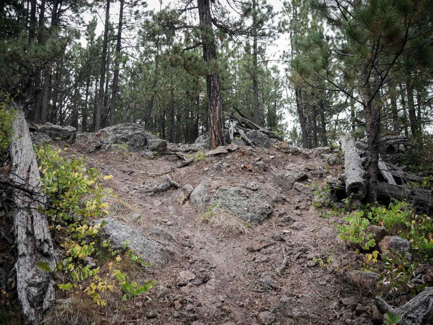
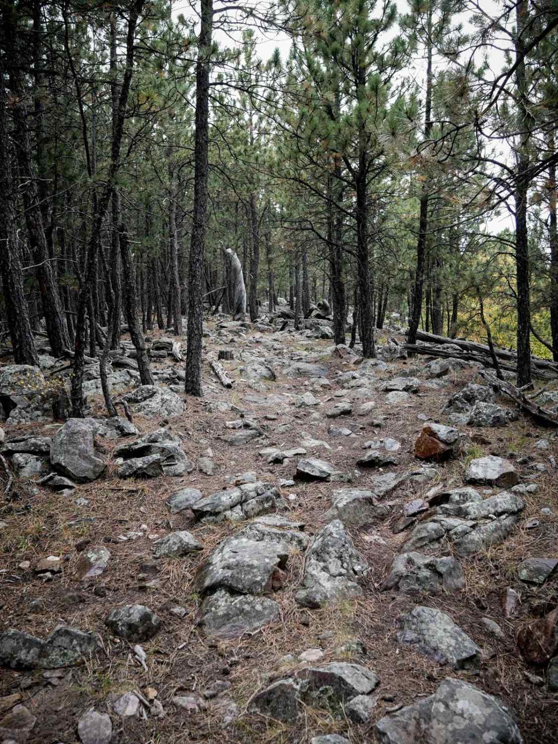
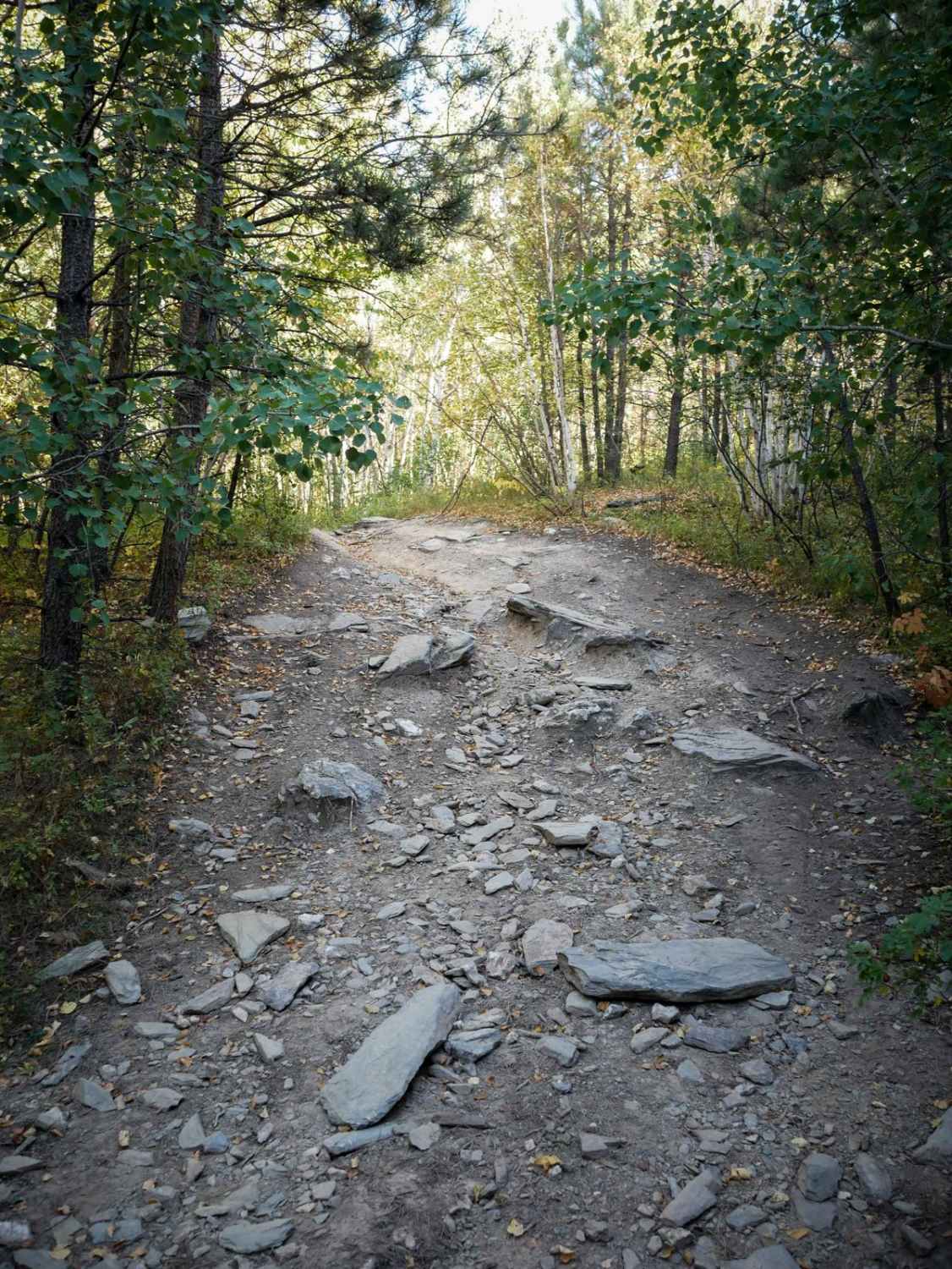
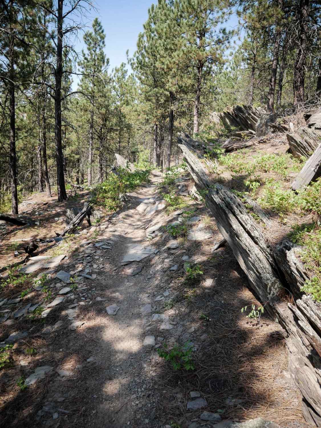
6339 is 1.5 miles of rocky hill climbing through the Black Hills. It goes up 750 feet elevation from east to west, starting on Norris Peak Lane near the staging area, and ending at the intersection with 6321. It starts as a narrow trail through a grassy meadow and pine trees. The beginning is smooth, straight, and pretty flat. It gets steeper and rockier as it goes north, and widens up. There are a bunch of loose jagged rocks and embedded larger rocks in the trail, especially during the hill climbs. You have to keep your momentum through the rocks, and it makes it a jarring ride. It goes through a really scenic area with large boulders lining the trail. The north end gets even rockier in sections, with constant large embedded rocks, or full of chunky loose rocks and baby heads.
Photos of Bogus 6339
Difficulty
This trail is harder than some of the surrounding trails due to many rocky sections that are full of loose rocks and embedded rocks that make it jarring and tricky to ride over. It doesn't have any giant ledges or obstacles, but it is constantly rocky, with some harder hill climbs that are steep and rocky.
Status Reports
Bogus 6339 can be accessed by the following ride types:
- Dirt Bike
Bogus 6339 Map
Popular Trails
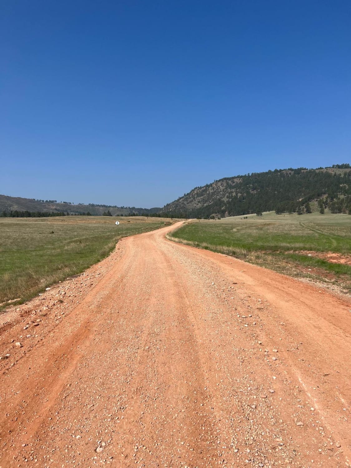
Elk Mountain Trail
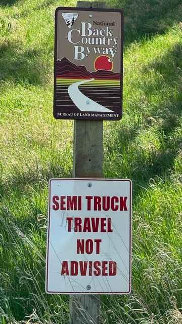
Fort Meade Backcountry Byway
The onX Offroad Difference
onX Offroad combines trail photos, descriptions, difficulty ratings, width restrictions, seasonality, and more in a user-friendly interface. Available on all devices, with offline access and full compatibility with CarPlay and Android Auto. Discover what you’re missing today!
