Tranquility Trail
Total Miles
0.2
Technical Rating
Best Time
Spring, Fall, Winter
Trail Type
60" Trail
Accessible By
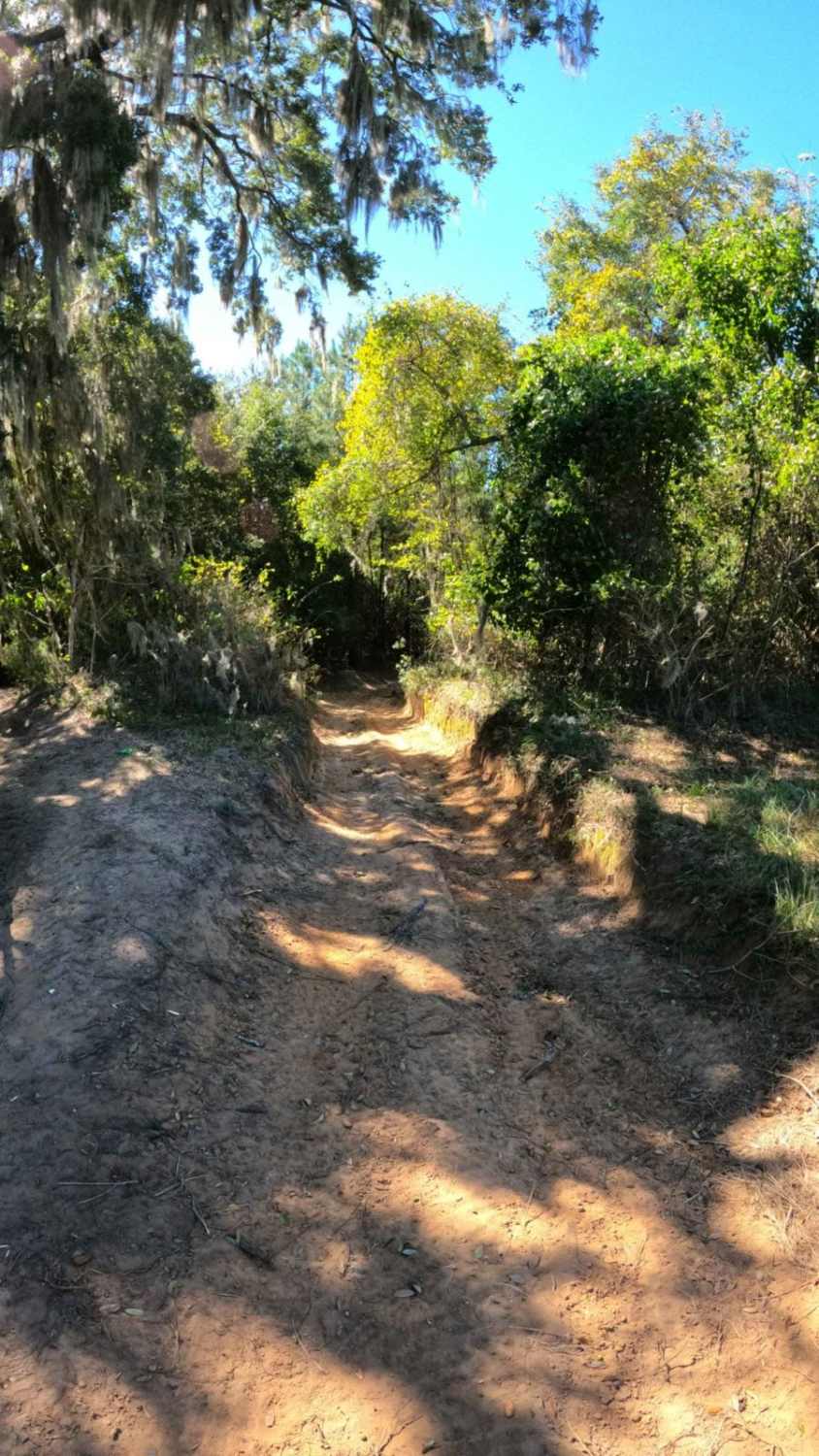
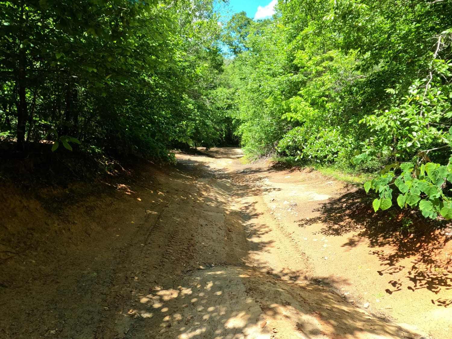
Trail Overview
The signage for this trail is a bit confusing at first glance. The sign for the trail, and the one-way sign, are posted on a tree at the exit from Betty's Whoopties. However, the actual entrance is to the far right, through a gap and down into the trail. This is a one-way trail of mixed compact and loose sand, with high berm turns that tend to hold water after rain. There is a small mud pit that has formed with no bypass about midway through, and the trail does narrow down in sections. The trees have grown over in some areas, so expect roof knocks for taller rigs. Again, use caution with the entrance and exit as there is very little room to pass in most sections and little to no room in others.
Photos of Tranquility Trail

Difficulty
Narrow sections with low trees and a mudhole about midway through the trail.
Status Reports
Tranquility Trail can be accessed by the following ride types:
- SxS (60")
- ATV (50")
- Dirt Bike
Tranquility Trail Map
Popular Trails

Laiklynn's Lane
Arrowhead Alley
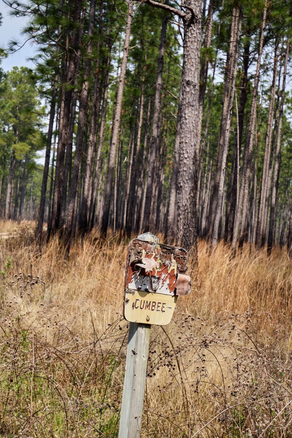
Cumbee Alternative - FSR176a
Willow Hall Road PT.1 - FSR 202
The onX Offroad Difference
onX Offroad combines trail photos, descriptions, difficulty ratings, width restrictions, seasonality, and more in a user-friendly interface. Available on all devices, with offline access and full compatibility with CarPlay and Android Auto. Discover what you’re missing today!