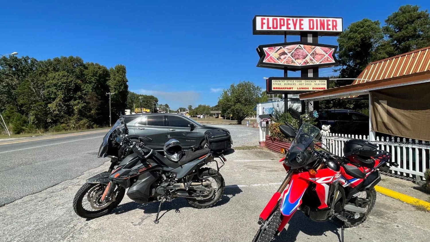
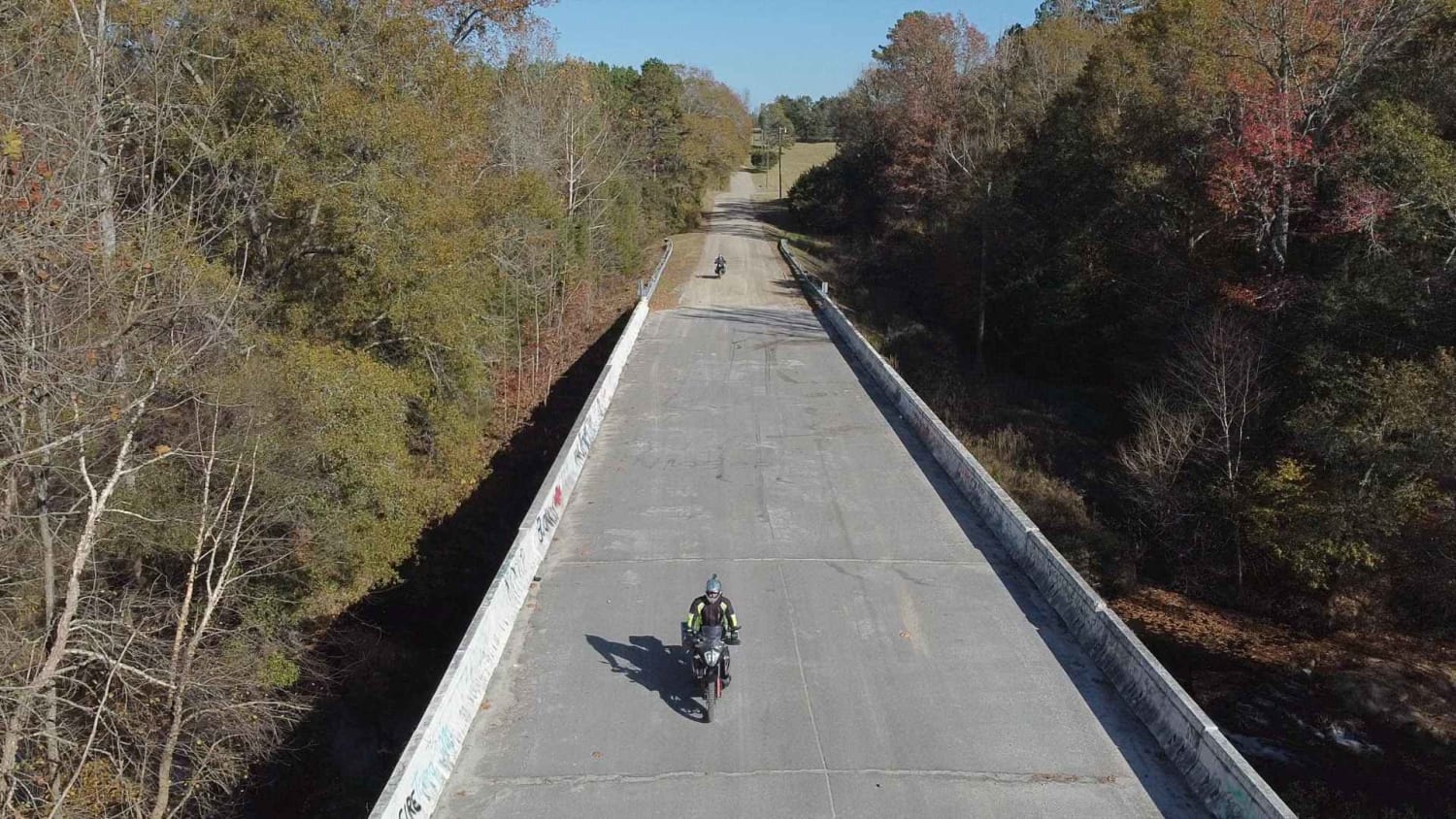
South Carolina Adventure Route Segment 4
Total Miles
214.1
Technical Rating
Best Time
Spring, Summer, Fall, Winter
Trail Type
Full-Width Road
Accessible By
Trail Overview
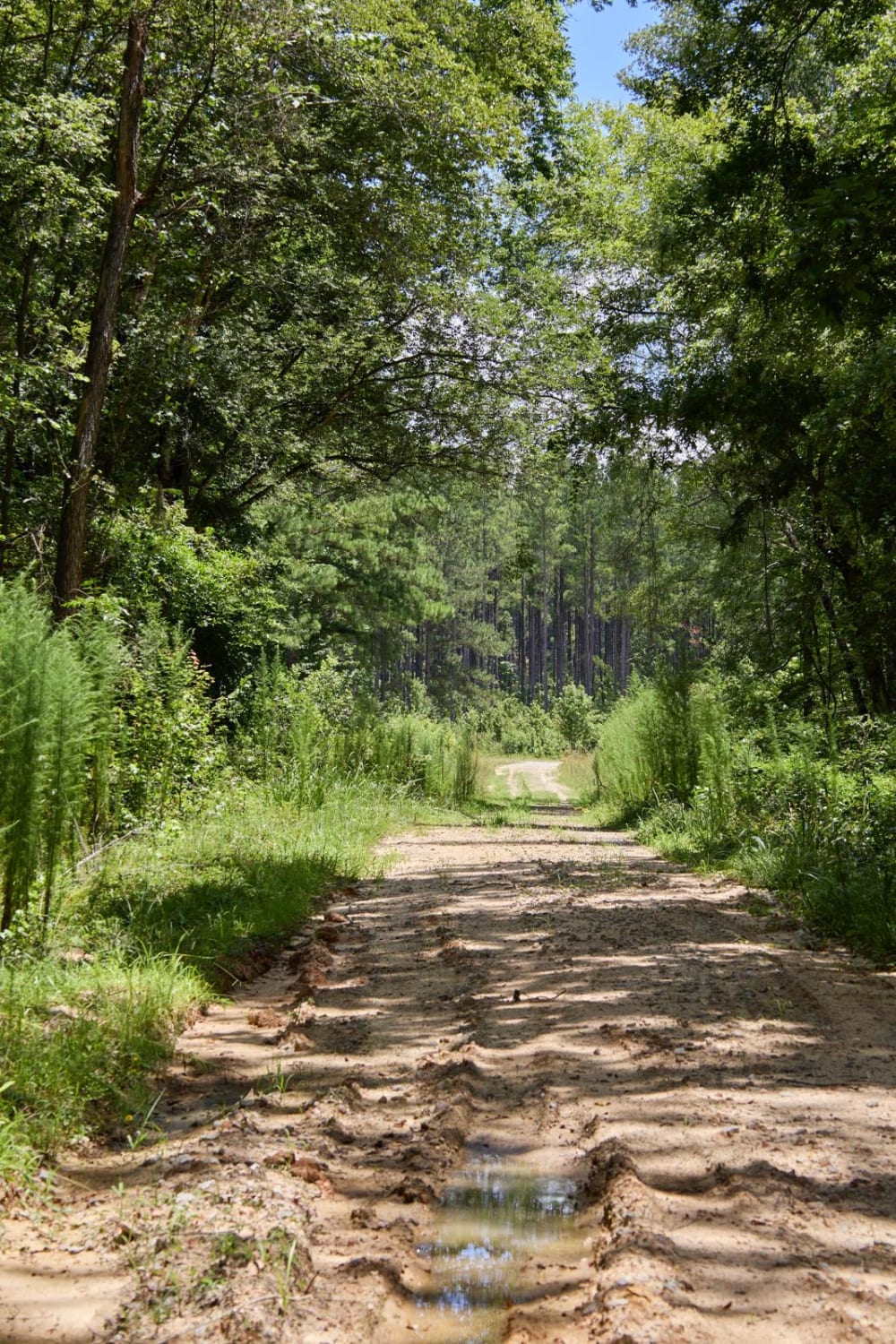
Segment 4 transits the "midlands" section of South Carolina, with the towns of Gaffney and Camden on each end. This section is mostly forested and contains a mixture of pavement, gravel, and clay roads. The clay can become quite slick and rutted when wet, and the ruts can hold their form when dry, so use caution, especially if on a motorcycle. During and after rainstorms you may encounter a small water crossing or two, so beware of low-lying roads and creeks. Notable sights include Kings Mountain National Military Park (and State Park), the dam at Great Falls, and the Battle of Camden National Historic Landmark. ATTENTION: This trail is prone to damage during wet conditions which could lead to closure. Please avoid traveling this route when mud and standing water are present. If you must traverse it, make sure to air down to improve flotation and drive with care to avoid creating ruts and damaging the surroundings. About the SCAR: The South Carolina Adventure Route loops through approximately 1,000 miles of rural South Carolina. Along this route, you'll enjoy the Blue Ridge Mountains, the Atlantic Ocean, diverse forests, cotton fields, state parks, historical sites, and quaint towns. The SCAR also connects to the Smokey Mountains 500, the Georgia Traverse, and the Trans-America Trail (TAT), providing riders on those trails with a scenic route to the Atlantic coast at Edisto Beach. The roads along the SCAR are a mix of pavement and dirt, 60% and 40% respectively, with the surface alternating between gravel, dirt, clay, and sand. The route is not exceptionally technical, but dry conditions can leave the sandy roads loose, while wet conditions can leave the mud and clay roads slick and rutted. Travelers should expect to encounter deep sand and sizable mud holes in the worst conditions.
Photos of South Carolina Adventure Route Segment 4
Difficulty
The clay can become quite slick and rutted when wet, and the ruts can hold their form when dry, so use caution, especially if on a motorcycle. During and after rainstorms you may also encounter a small water crossing or two, so beware of low-lying roads and creeks.
Status Reports
South Carolina Adventure Route Segment 4 can be accessed by the following ride types:
- High-Clearance 4x4
- SUV
South Carolina Adventure Route Segment 4 Map
Popular Trails

County Line Road

Bonneau Ferry WMA - Bottomland Hardwood Spur

Fish Pond Loop - Extension
Haskell Barony Swamp Trail
The onX Offroad Difference
onX Offroad combines trail photos, descriptions, difficulty ratings, width restrictions, seasonality, and more in a user-friendly interface. Available on all devices, with offline access and full compatibility with CarPlay and Android Auto. Discover what you’re missing today!