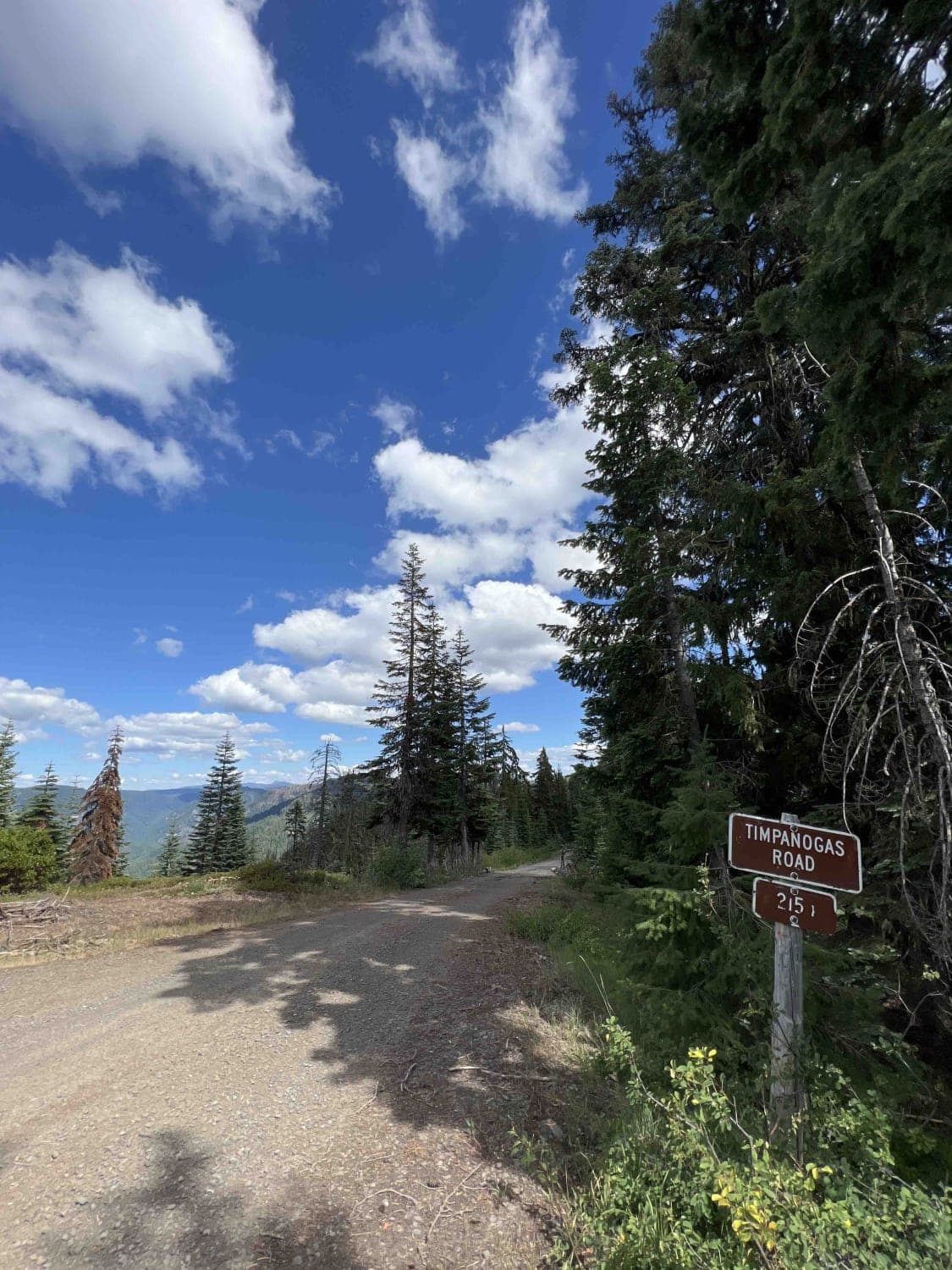
Timpanogas 2154
Total Miles
14.0
Technical Rating
Best Time
Spring, Summer, Fall
Trail Type
High-Clearance 4x4 Trail
Accessible By
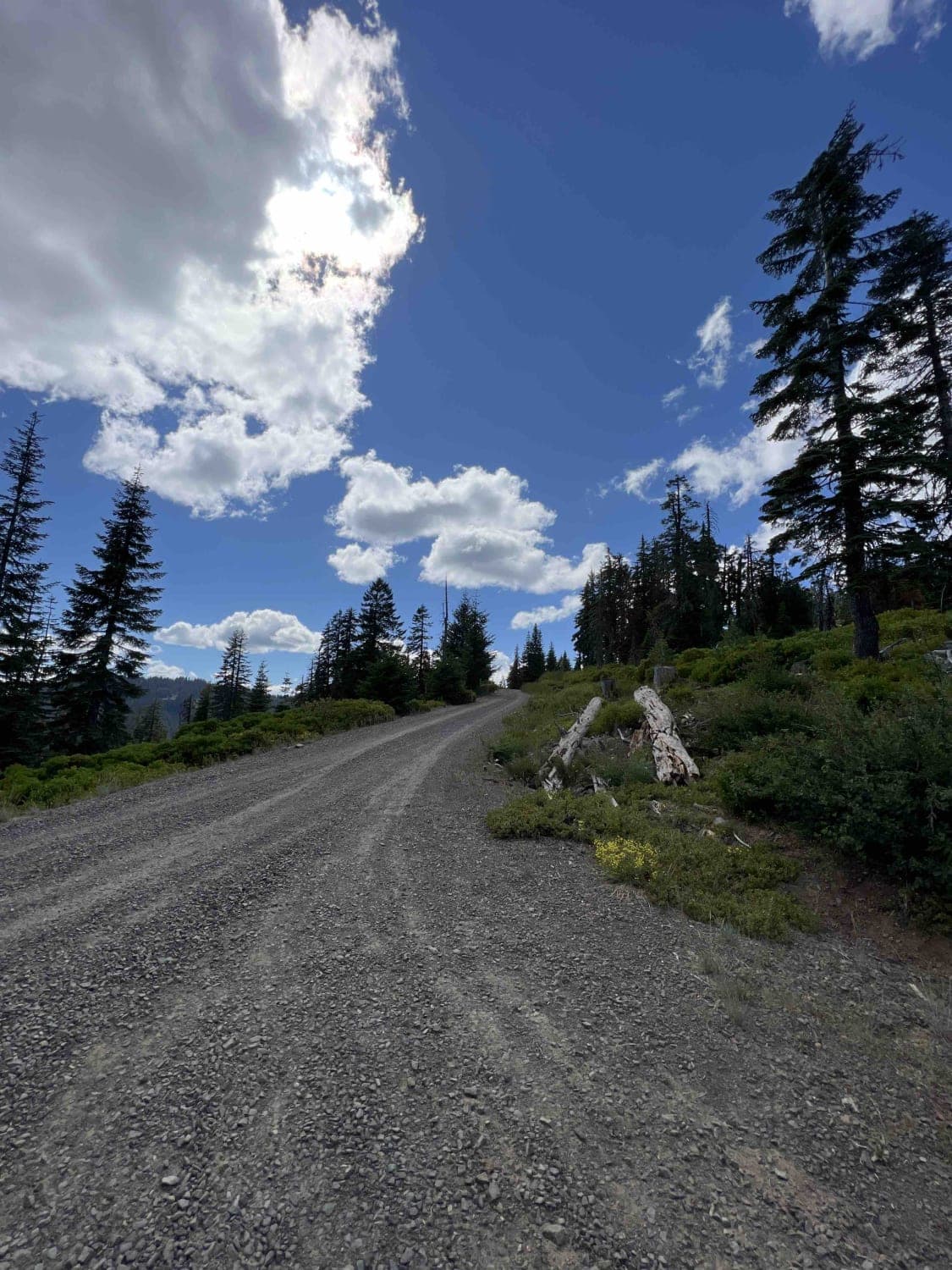
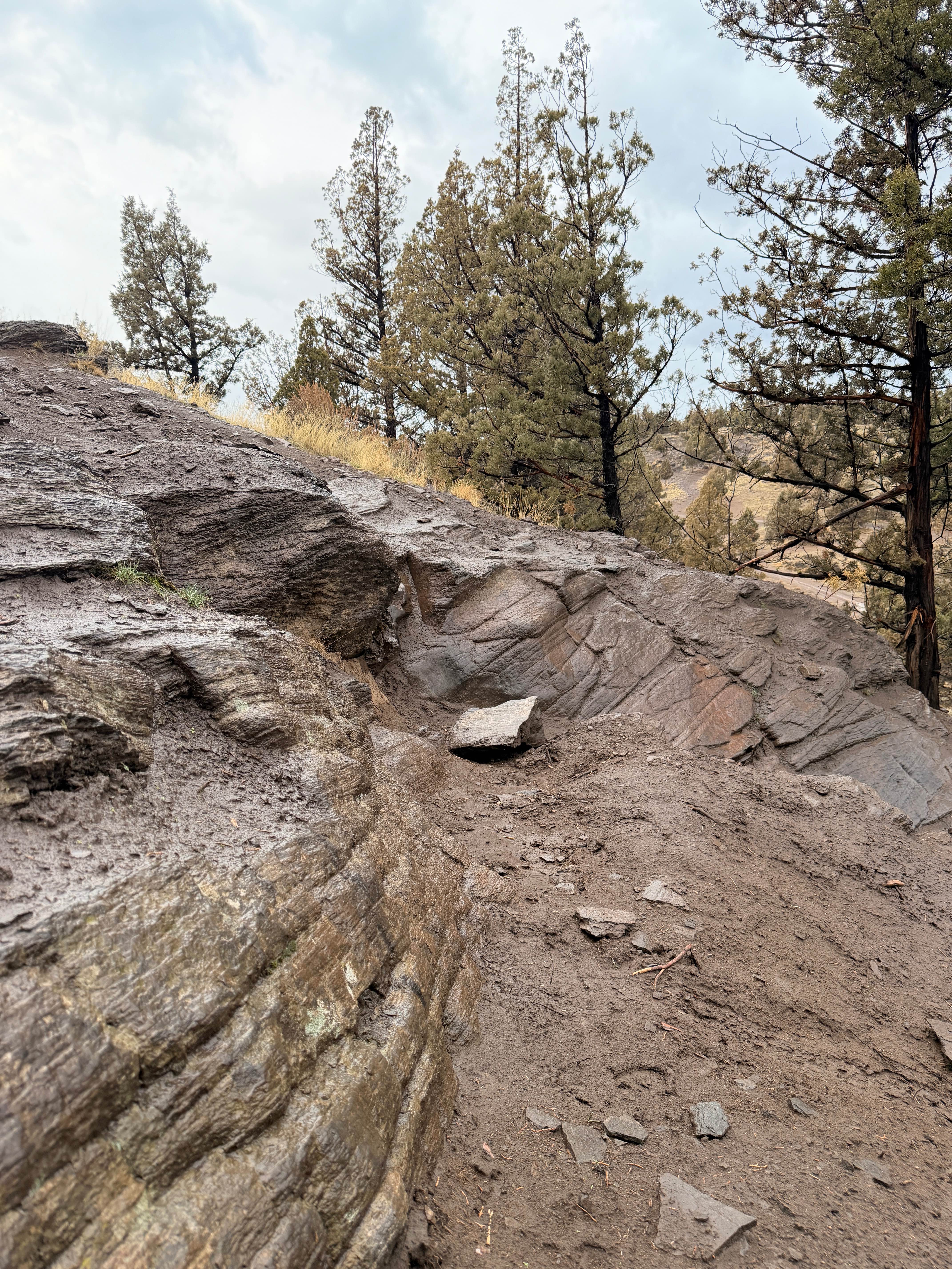
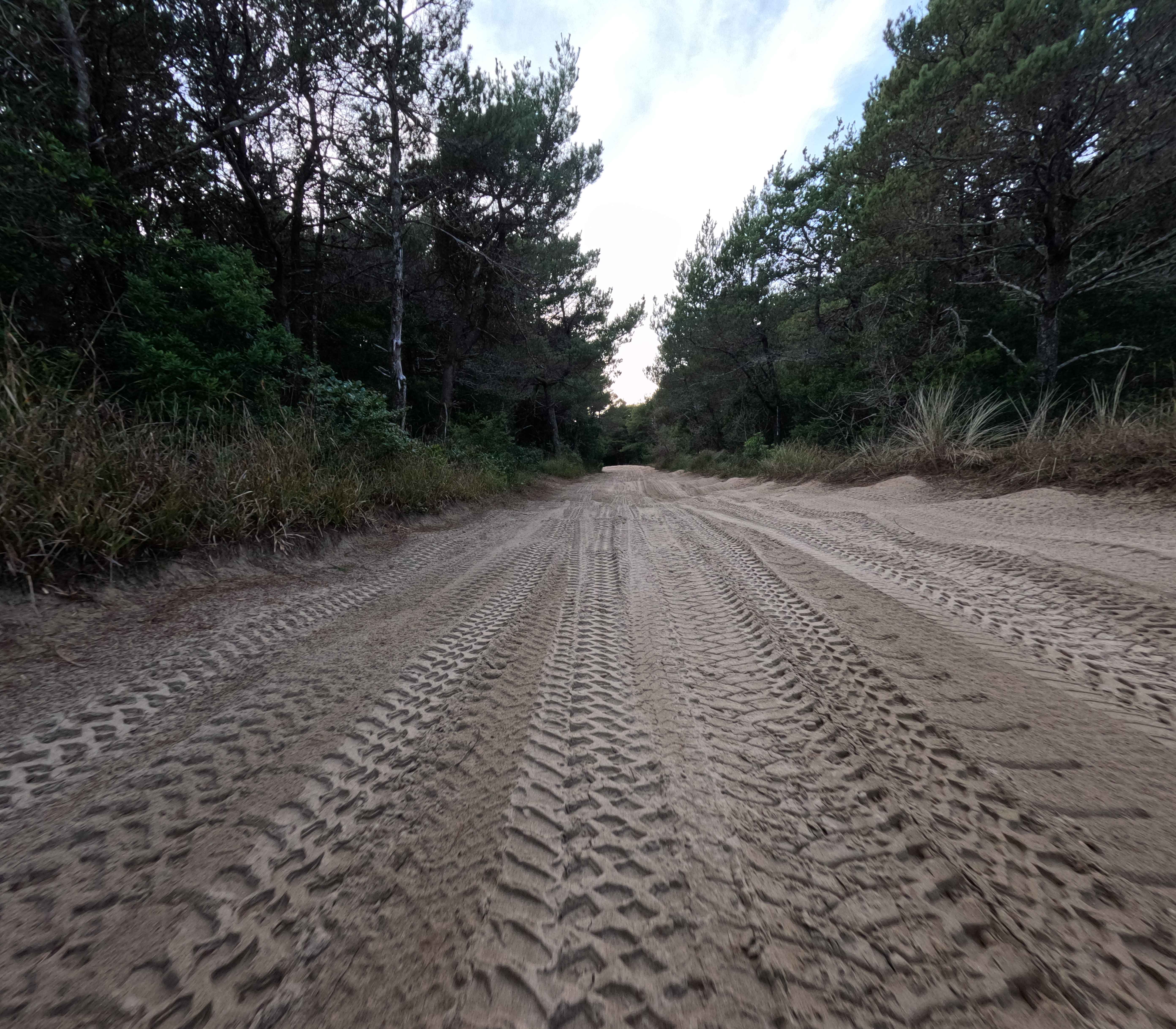
Trail Overview
Take part in a 14-mile journey that tracks a ridgeline between the Willamette National Forest and the Umpqua National Forest. Accessing this path is possible through several alternatives. However, keep in mind that the trailhead's conclusion entails rock crawling, making it unsuitable for vehicles with low clearance or tire sizes less than 33 inches. It's advisable to use a 4x4 vehicle. While there is a segment leading to Timpanogas Lake, it's more complex and not recommended to be attempted solo due to the potential for rollovers. This trail crosses into the Umpqua National Forest at specific points. In the lower elevations of the Cascades region, the forests consist of a combination of Douglas fir, grand fir, white fir, and western hemlock. At higher elevations, mixed coniferous forests, including species such as mountain hemlock, noble fir, grand fir, white fir, Engelmann spruce, and lodgepole pine are present. The Umpqua National Forest safeguards 983,239 acres of forest across Douglas, Lane, and Jackson Counties. The forest's remarkable scenery and abundant natural resources have been shaped by High Cascade glaciation, whitewater rapids, and volcanic events. The forest's waterways and diverse habitats provide desirable living conditions for many fish and wildlife species, as well as outstanding recreational opportunities for local communities and visitors. The forest's diverse habitats support larger mammals such as elk, deer, black bear, and cougar, as well as smaller residents like squirrels, foxes, raccoons, and bats. The WNF and the UNF strictly require visitors to pack out their trash and adhere to the "tread lightly" principles regarding foot and vehicle traffic to protect the surrounding habitats. Roads are not accessible during the winter months by vehicles and gates can be closed at any time.
Photos of Timpanogas 2154
Difficulty
The rocs you will encounter and the steep vertical climb at the end of the marked trail make it quite challenging.
History
It is imperative to note that the Willamette National Forest was established as a forest back in 1933. This was done with Congress allocating more than 380,000 acres of land for the sole purpose of preserving natural scenery, flora, and fauna. It is worth mentioning that the forest is home to several dedicated areas, including the H.J. Andrews Experimental Forest, the Oregon Cascades Recreation Area, and the Lamb Butte Scenic Special Interest Area, as well as four research natural areas.
Status Reports
Timpanogas 2154 can be accessed by the following ride types:
- High-Clearance 4x4
- SxS (60")
- Dirt Bike
Timpanogas 2154 Map
Popular Trails

Trail 16 (Cline Bute OHV)
Coast Guard OHV South Trail - 1343

The onX Offroad Difference
onX Offroad combines trail photos, descriptions, difficulty ratings, width restrictions, seasonality, and more in a user-friendly interface. Available on all devices, with offline access and full compatibility with CarPlay and Android Auto. Discover what you’re missing today!