Keeps Mill North Access
Total Miles
3.5
Technical Rating
Best Time
Summer, Fall
Trail Type
Full-Width Road
Accessible By
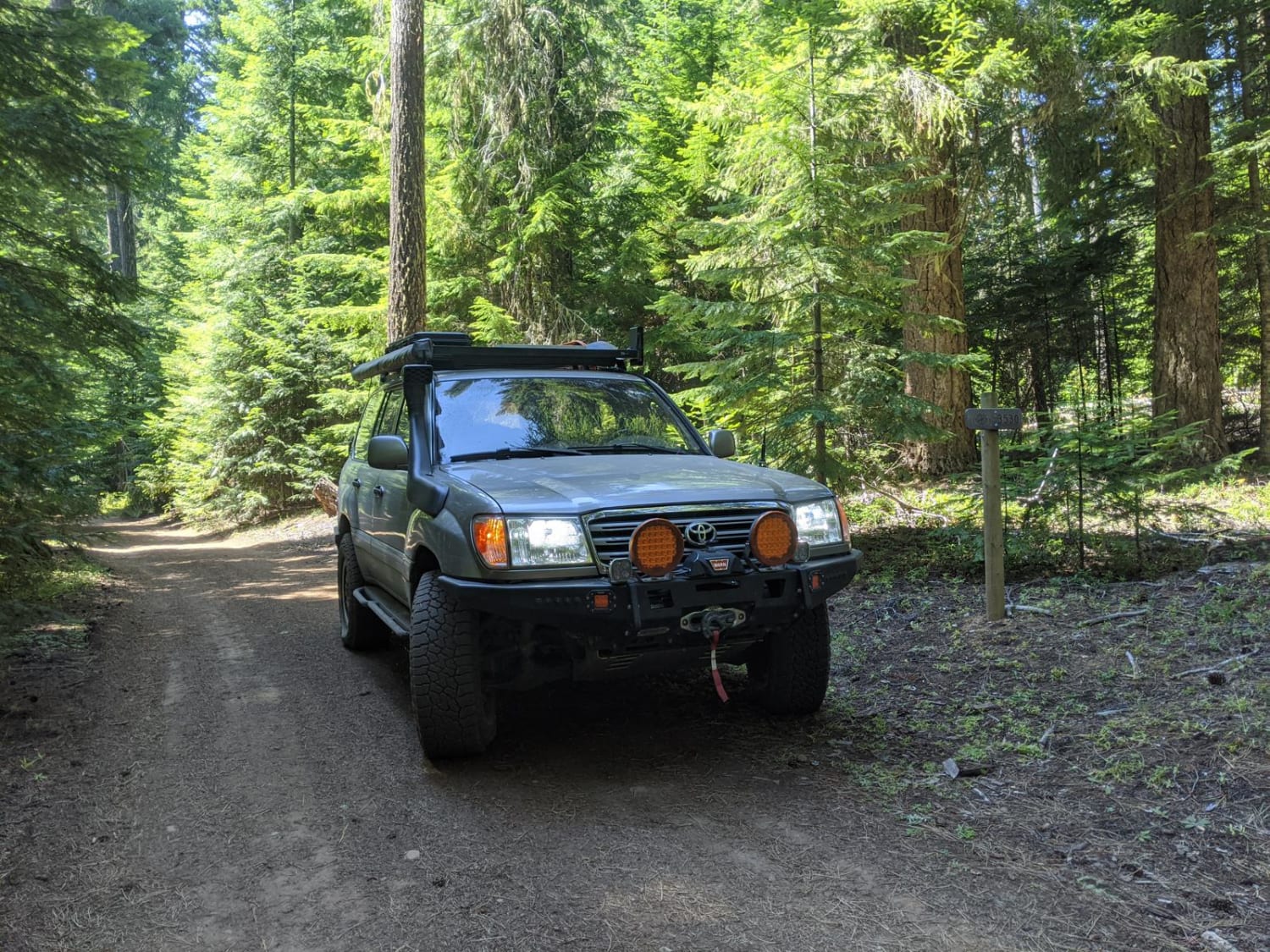
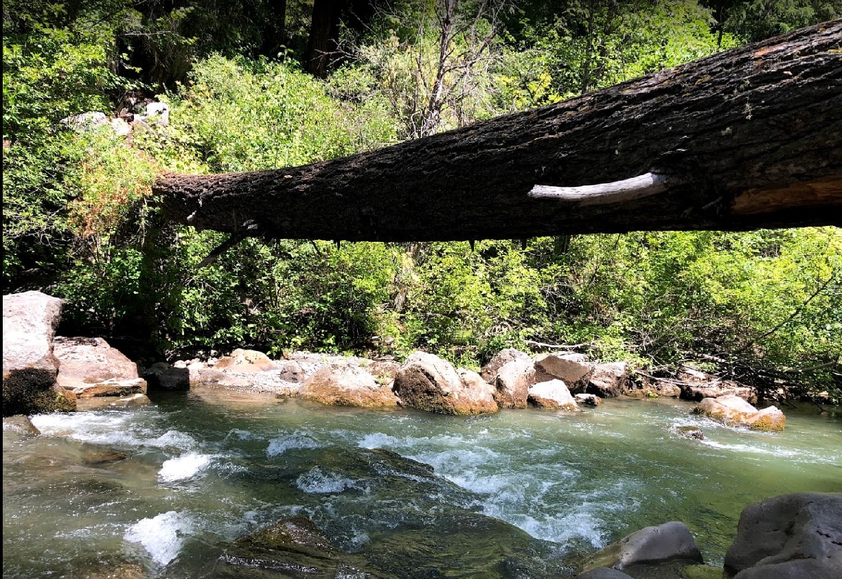
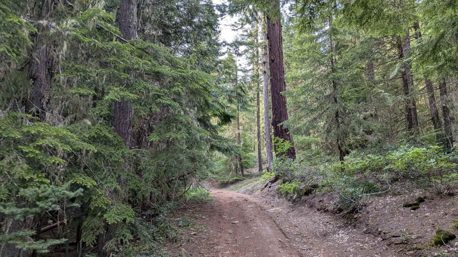
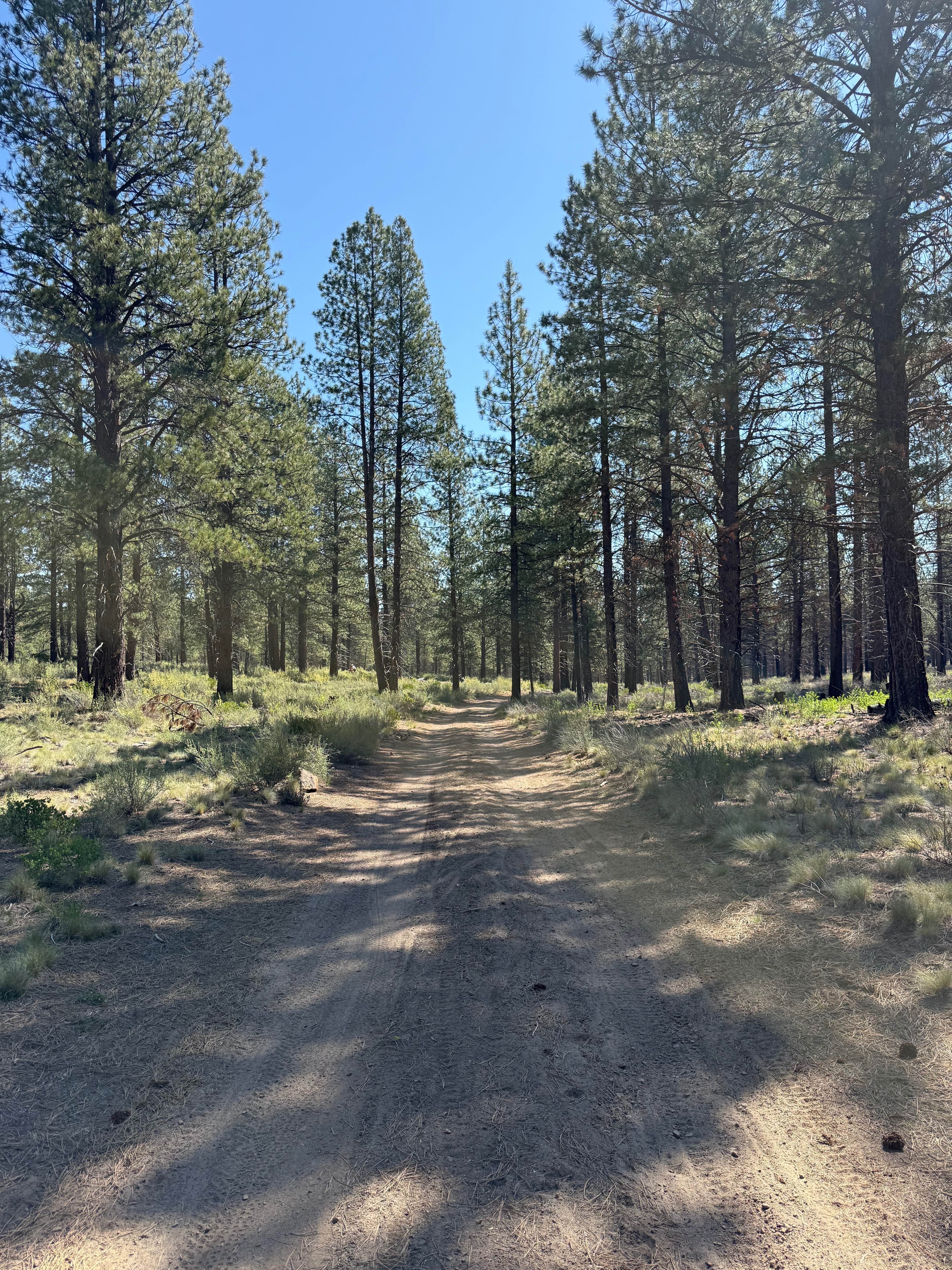
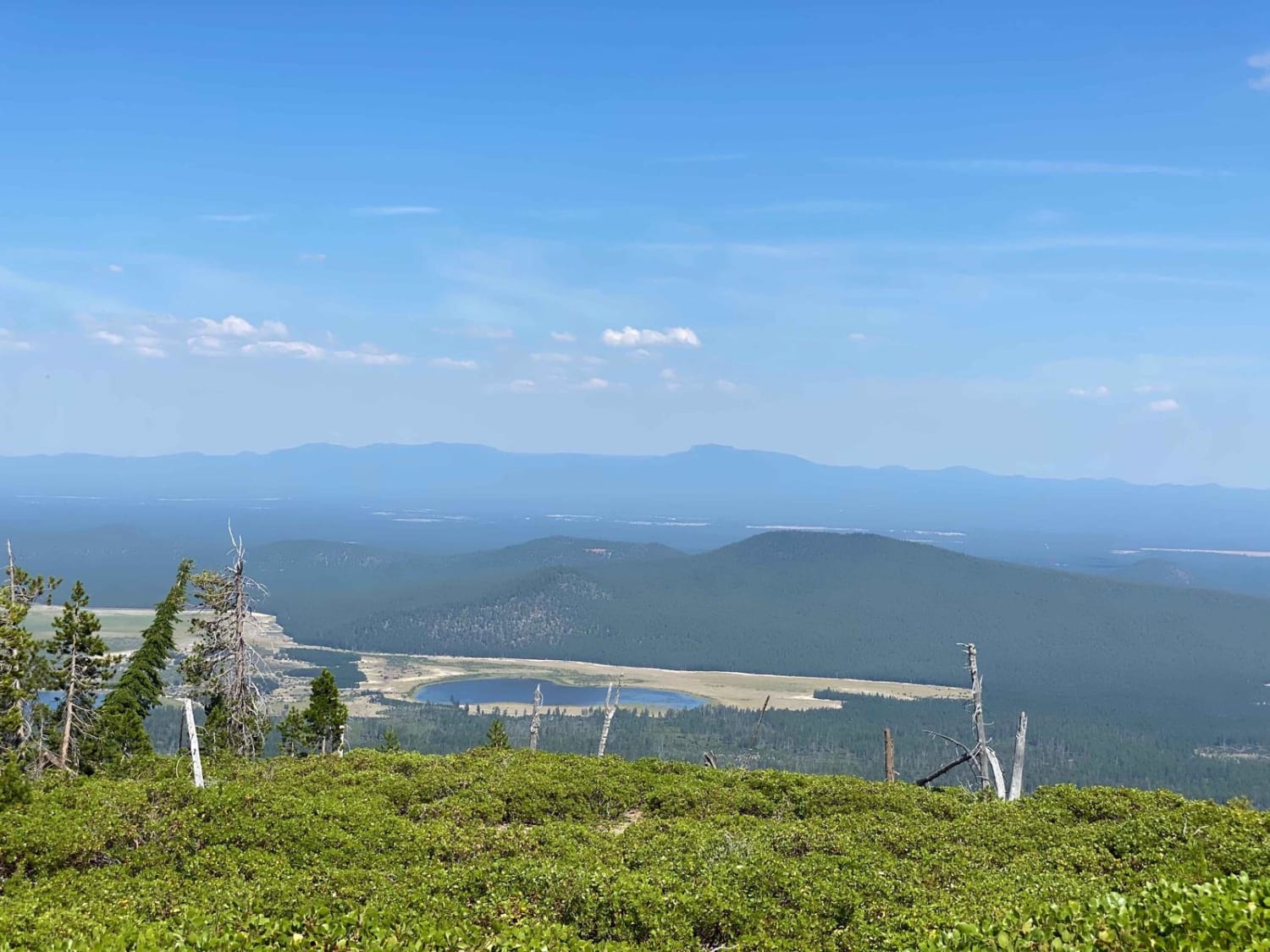
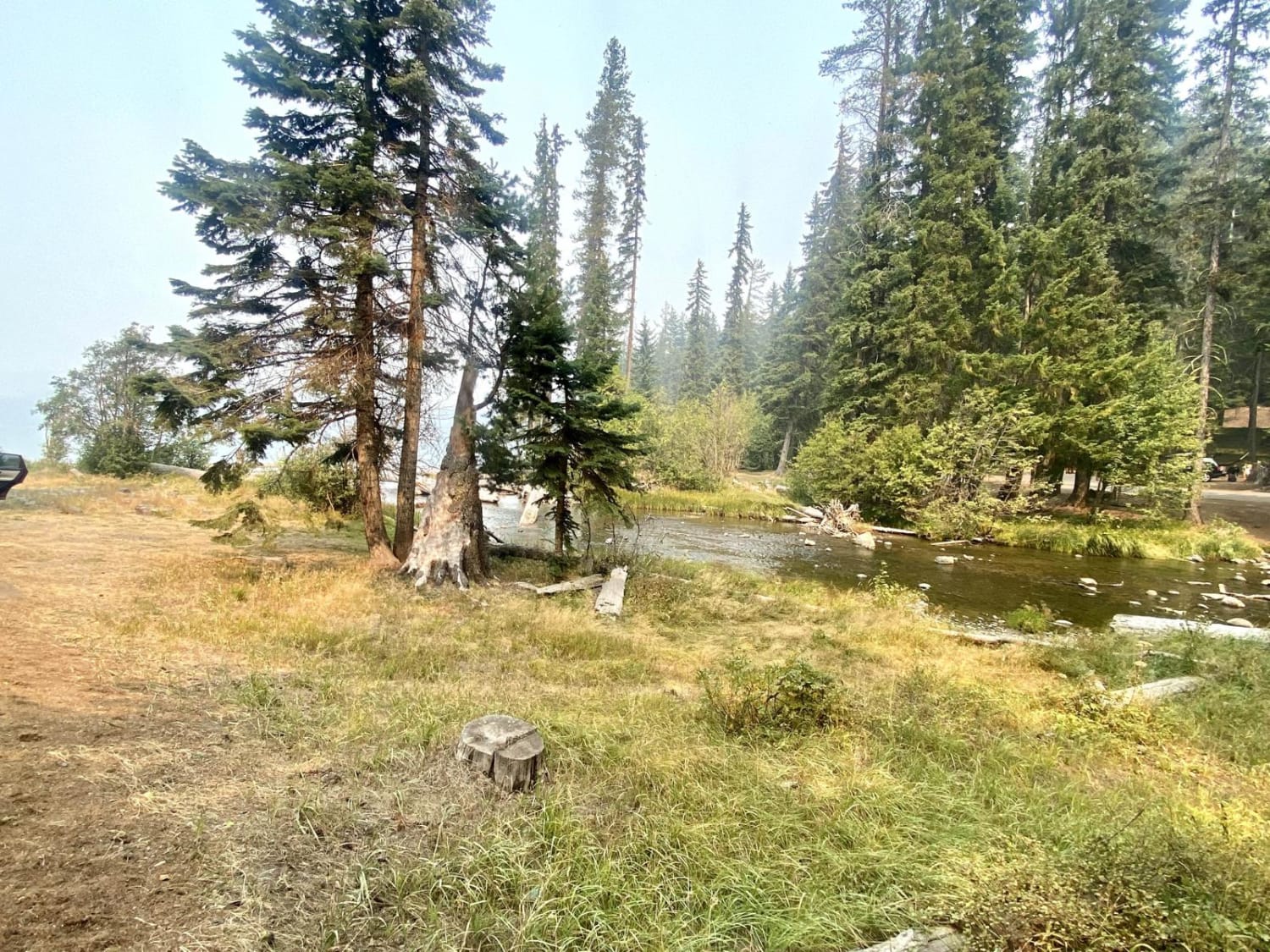
Trail Overview
This short connector route drops down 1000 feet into the White River Canyon from NFS 48 and the historic Barlow Road. The first two miles are flat and easy, but the last mile or so is steep and exposed. 4lo is suggested here for engine braking and for increased traction in wet weather. There's technically a water crossing to the Keeps Mill Campground and further south.
Photos of Keeps Mill North Access
Difficulty
This is easy in dry weather, a little more difficult in muddy conditions, and even more difficult if fording the river.
Status Reports
Keeps Mill North Access can be accessed by the following ride types:
- High-Clearance 4x4
- SUV
Keeps Mill North Access Map
Popular Trails
Big Burn Road
Crescent Lake Trail
The onX Offroad Difference
onX Offroad combines trail photos, descriptions, difficulty ratings, width restrictions, seasonality, and more in a user-friendly interface. Available on all devices, with offline access and full compatibility with CarPlay and Android Auto. Discover what you’re missing today!