Hat Point
Total Miles
22.9
Technical Rating
Best Time
Spring, Summer, Fall
Trail Type
Full-Width Road
Accessible By
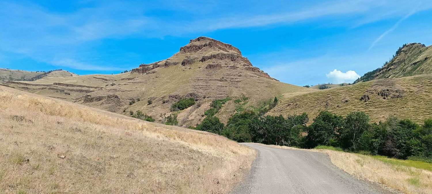
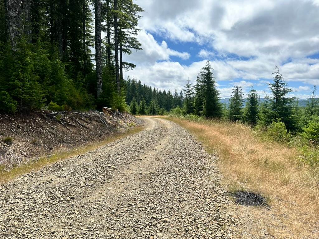
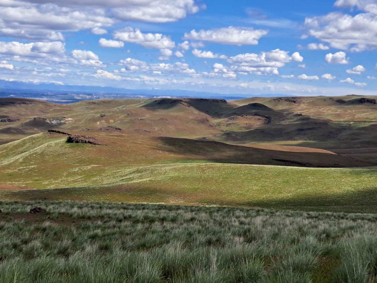
Trail Overview
Hat Point is a scenic, graded road that climbs along cliff ledges overlooking vast valleys, ridges, and surrounding mountains. The route travels through lush pine forests and vibrant flora, especially spectacular in the spring when greenery flourishes. Along the way, the trail passes through several recent burn areas, offering unique views of forest regeneration contrasted with towering trees. The highlight is the stunning panoramic views of the Innaha River canyon below, providing some of the most spectacular scenery in the region. This easy but scenic route is perfect for a peaceful drive with lots of photo opportunities. But realize it climbs almost 3000 feet. Make sure your brakes are in good condition. Consider low gear for control and saving those brakes.
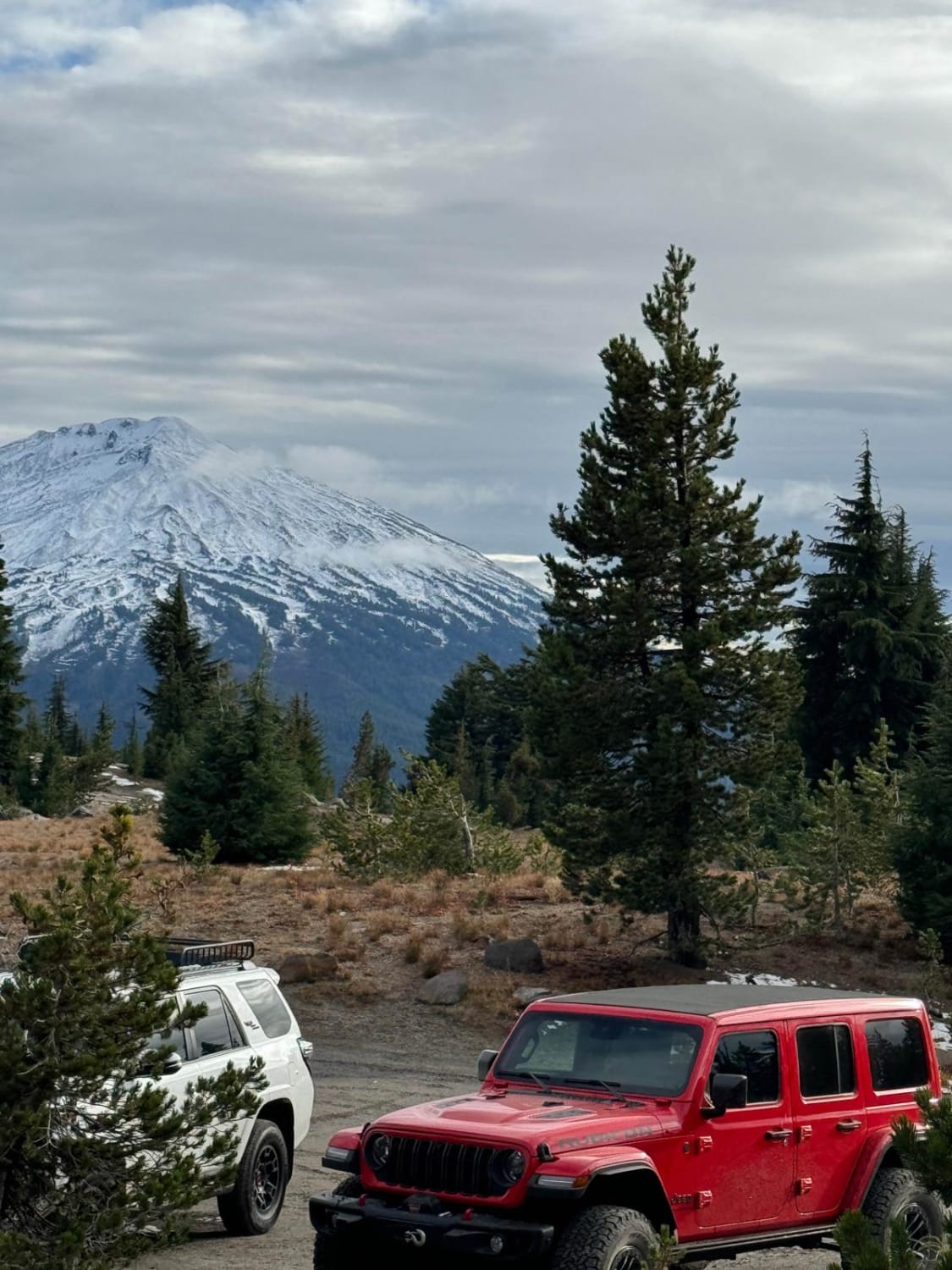
Photos of Hat Point

Difficulty
Rated a 1 for its well-maintained, graded surface and gentle terrain. Suitable for all vehicles, including 2WD in dry conditions. Ideal for nature lovers and explorers wanting breathtaking canyon views with minimal technical challenges. More challenging is the rise and fall in elevation and cliff-edge areas. Good brakes and a safe driving area are key.
Hat Point can be accessed by the following ride types:
- High-Clearance 4x4
- SUV
Hat Point Map
Popular Trails
Broken Top Trail #380
Ellis / Fire Road Crossover

Graveyard Rim Trail
The onX Offroad Difference
onX Offroad combines trail photos, descriptions, difficulty ratings, width restrictions, seasonality, and more in a user-friendly interface. Available on all devices, with offline access and full compatibility with CarPlay and Android Auto. Discover what you’re missing today!